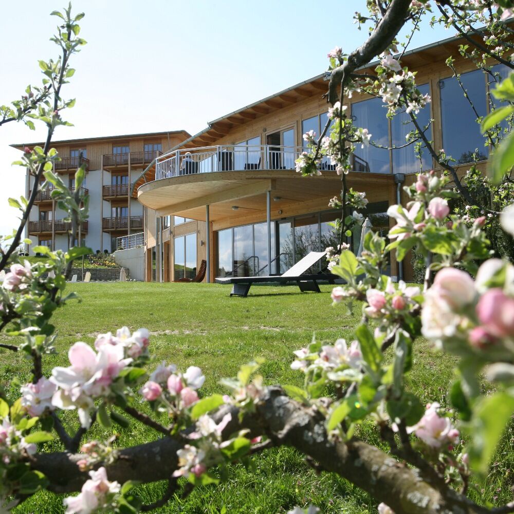
© Oststeiermark Tourismus - RETTER Bio-Natur-Resort

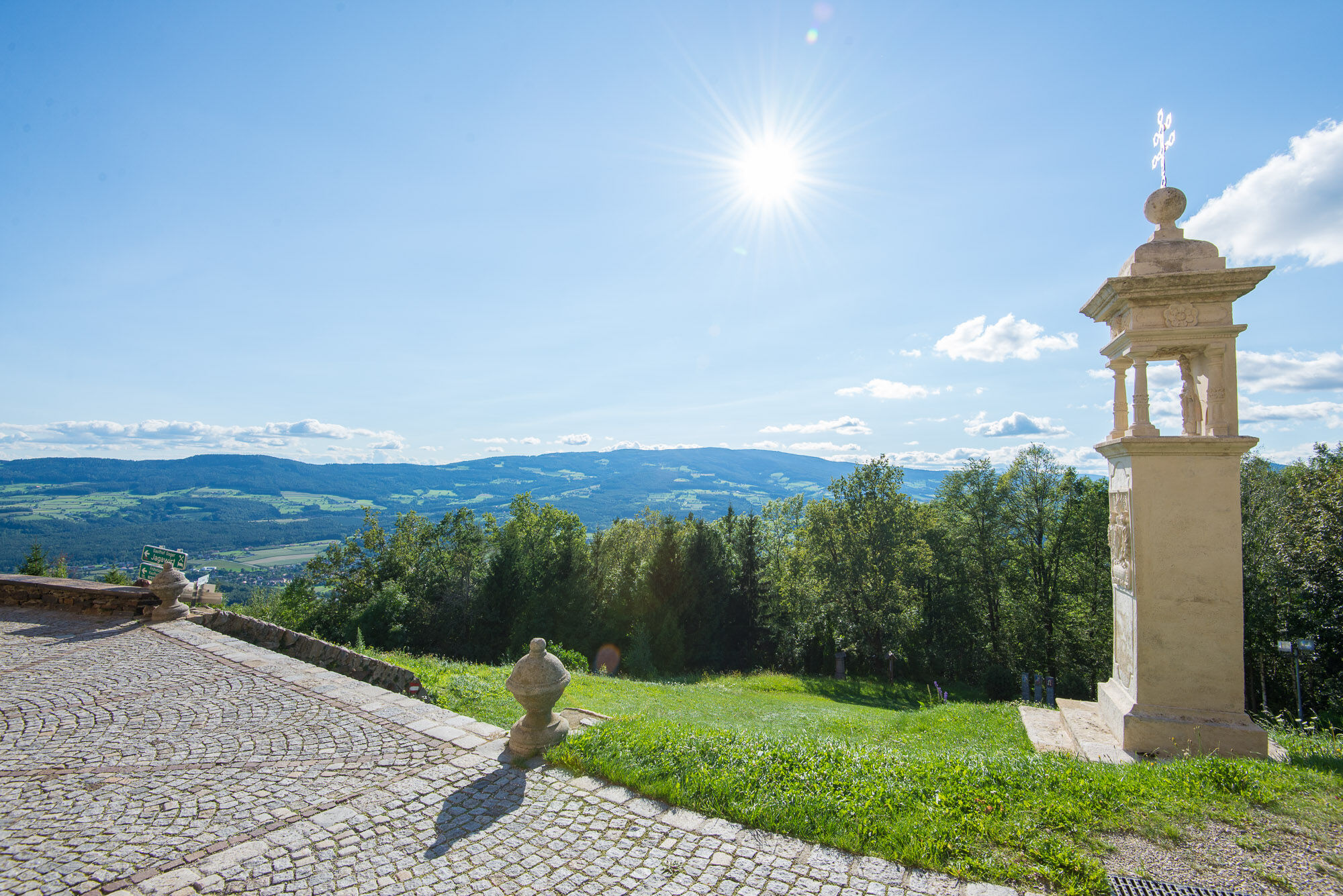
© Oststeiermark Tourismus - Helmut Schweighofer

© Oststeiermark Tourismus - RETTER Bio-Natur-Resort
- Lyhyt kuvaus
-
On the trail of the Hirschbirn trees (not signposted)
- Vaikeus
-
tapa
- Arviointi
-
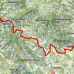
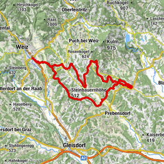
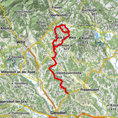
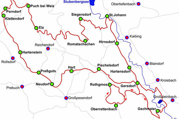
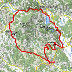
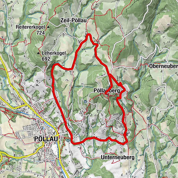
- Reitti
-
Holzhöf0,2 kmKraxndörfl0,4 kmBergstubm2,1 kmBerggasthof König2,8 kmPöllauberg2,8 kmFilialkirche St. Anna2,9 kmWallfahrtskirche Maria Pöllauberg3,0 kmRetterhöf4,3 kmSafenberg8,1 kmPöllau8,6 kmBreitenbach9,5 kmUntersalberg10,7 kmUnterneuberg10,8 kmHolzhöf11,3 km
- Paras kausi
-
tammihelmimaalishuhtitoukokesäheinäelosyyslokamarrasjoulu
- Korkein kohta
- 752 m
- Kohde
-
Pöllauberg, Hotel RETTER
- Korkeusprofiili
-


-

-
KirjoittajaKiertue RETTER: Cycle tour to the Pöllauberg käyttää outdooractive.com toimitettu.
GPS Downloads


Yleistä tietoa
Virvokepysäkki
Kulttuuri/Historiallinen
Flora
Lupaava
Lisää retkiä alueilla
-
Oststeiermark
376
-
Naturpark Pöllauer Tal
184
-
Pöllauberg
80