Retkitiedot
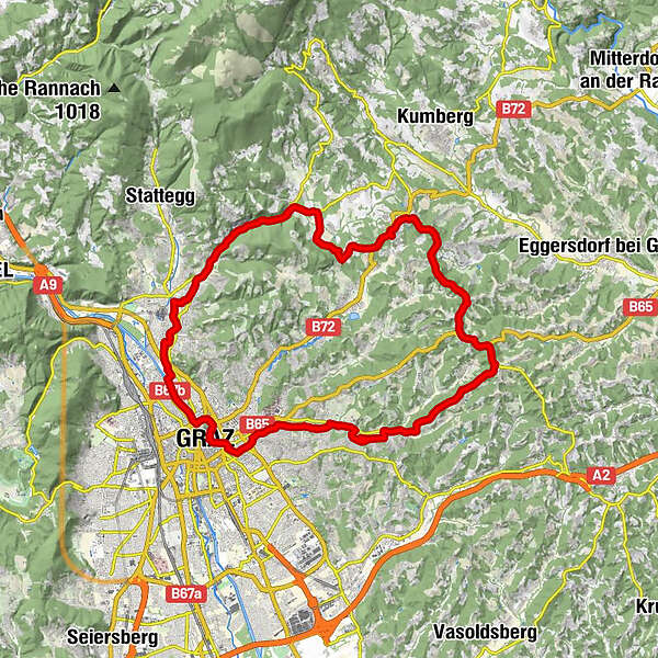
36,61km
351
- 585m
367hm
368hm
02:02h
- Lyhyt kuvaus
-
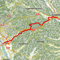
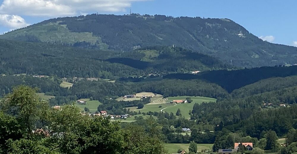
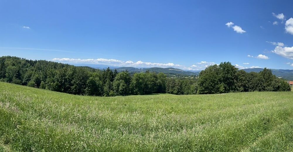
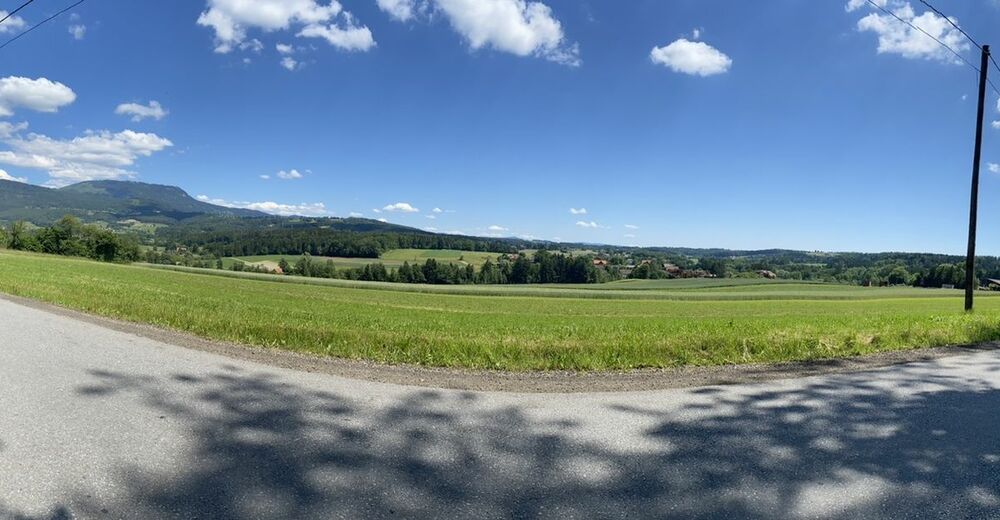
Kleine Rundfahrt bei Graz
- Vaikeus
-
helppo
- Arviointi
-
- Reitti
-
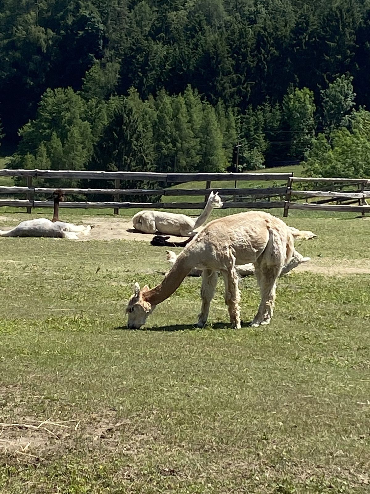
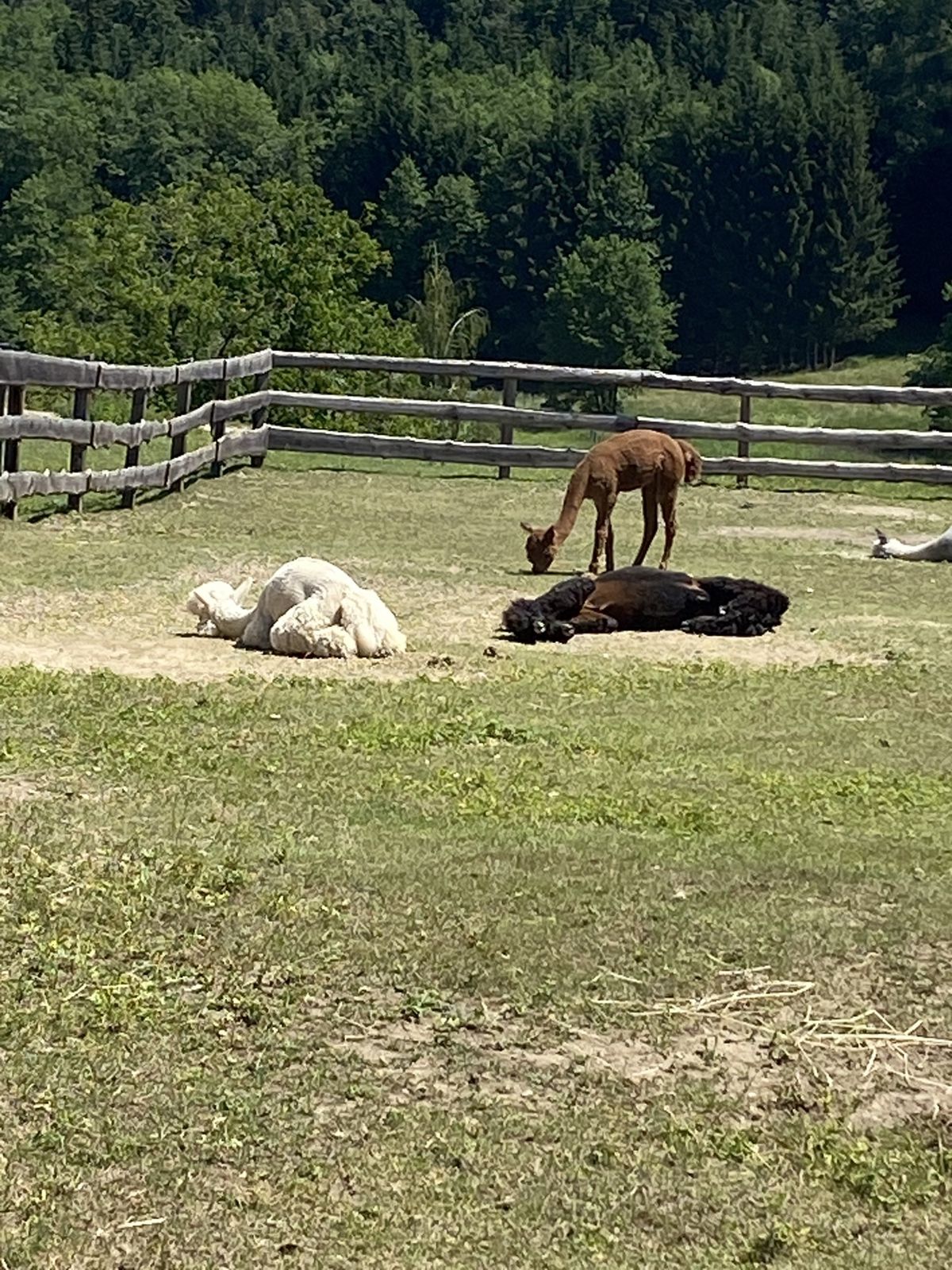
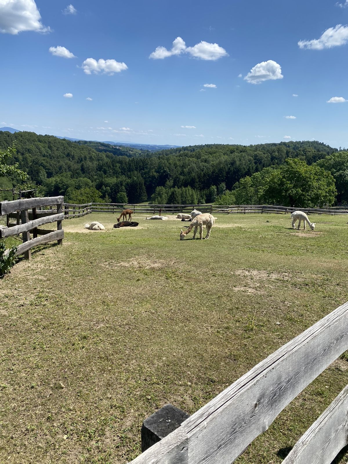
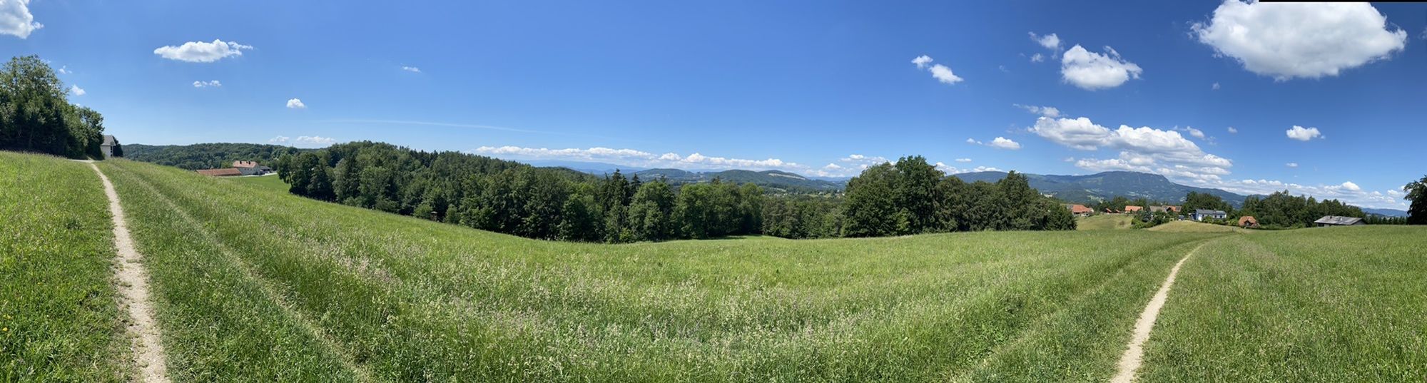
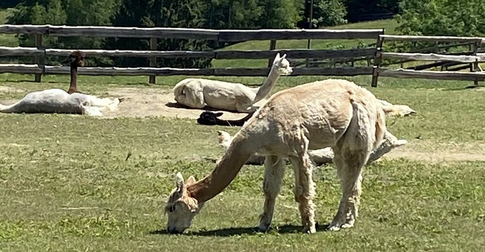
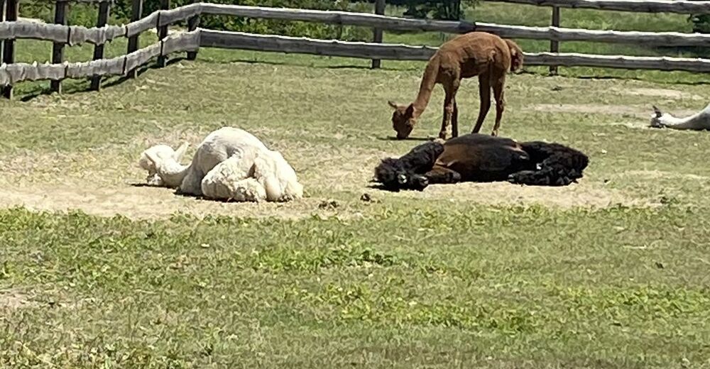
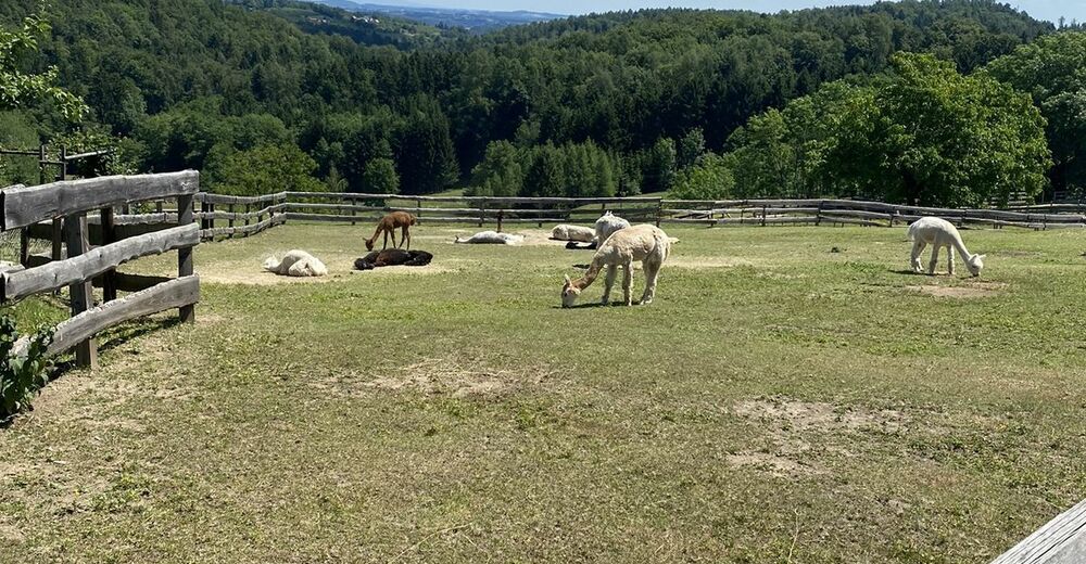
Graz (353 m)0,0 kmInnere Stadt0,2 kmSankt-Antonius-Kirche0,2 kmJohannes Nepomuk-Kapelle0,4 kmUnterandritz3,8 kmAndritz4,7 kmPeneffgründe5,3 kmJohanneshof5,8 kmNeustift7,1 kmSchöcklbach7,8 kmWildlife Enclosure (deer)8,1 kmAnnengraben8,8 kmSternwirt14,1 kmNadischhöhe16,4 kmNadisch16,9 kmGenusstreffpunkt Höfer16,9 kmAltes Fassl18,2 kmSchillingsdorf22,1 kmKainbach bei Graz23,4 kmHönigtal23,9 kmRot26,6 kmRagnitz28,5 kmHaberwald28,8 kmBruder-Klaus-Kirche31,5 kmBespielbarer Bach34,6 kmHerz-Jesu-Viertel35,2 kmBahá’í-Zentrum Graz35,5 kmGraz (353 m)36,5 kmInnere Stadt36,5 km
- Korkein kohta
- 585 m