© Steve Pressler
© Steve Pressler
Retkitiedot
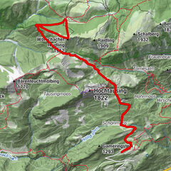
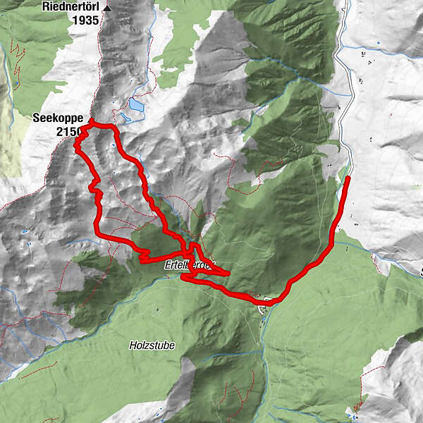
14,22km
1.085
- 2.107m
994hm
982hm
04:00h
- Lyhyt kuvaus
-
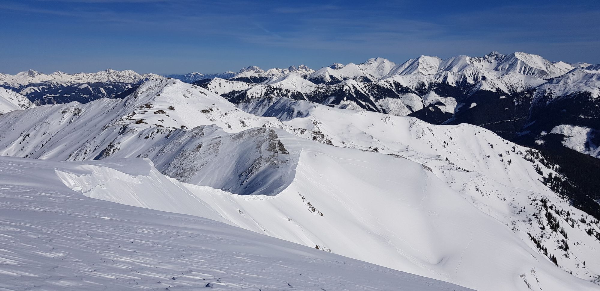
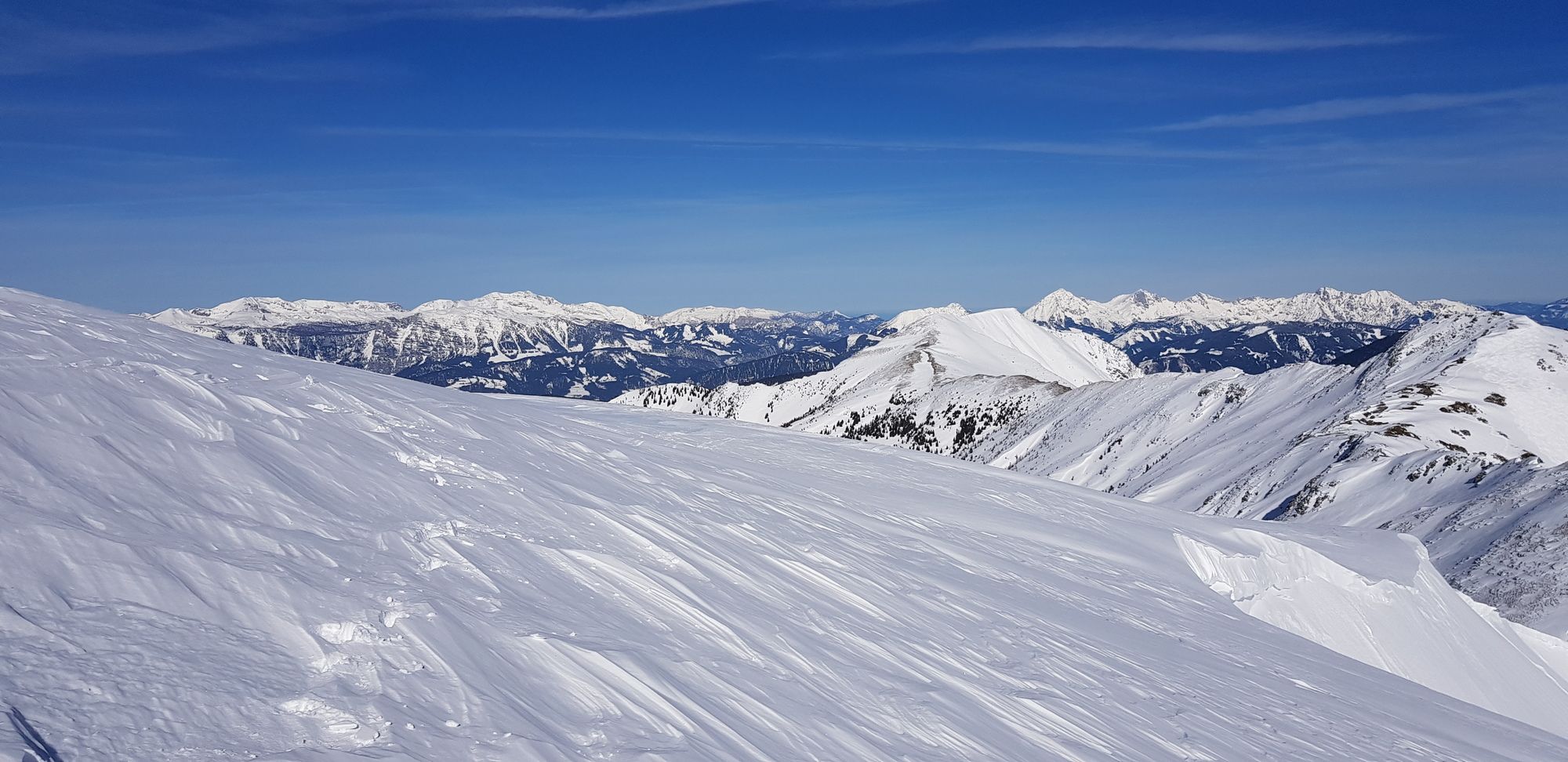
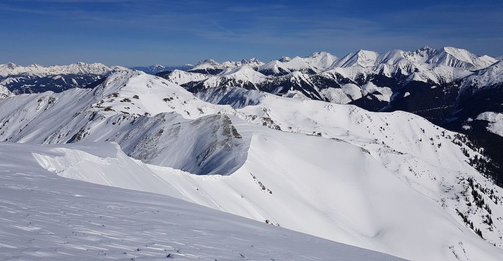
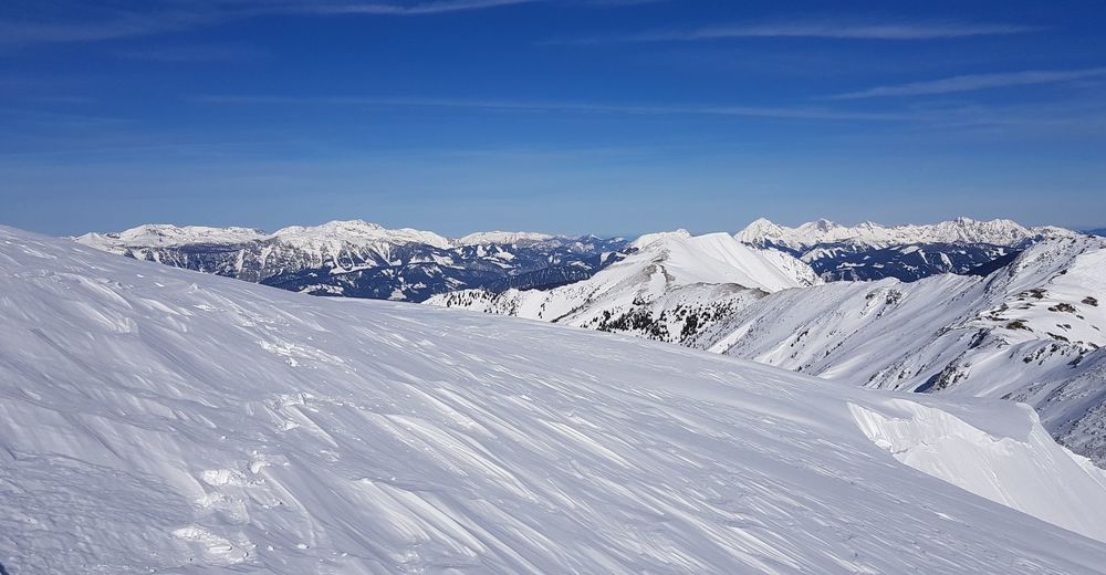
Lohnende Gipfeltour aus der Hintergulling in den Rottenmanner Tauern. Zahlreiche Abfahrtsmöglichkeiten auf den teils recht freien Südhängen.
- Vaikeus
-
tapa
- Arviointi
-
- Lähtöpiste
-
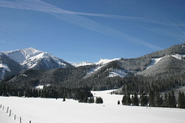
Parkplatz Hintergulling
- Reitti
-
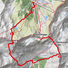
Seekoppe (2.150 m)7,1 km
- Paras kausi
-
elosyyslokamarrasjoulutammihelmimaalishuhtitoukokesäheinä
- Korkein kohta
- 2.107 m
- Exposition
- Lepo/Retriitti
-
Gasthöfe in Oppenberg: Kirchenwirt,Alpengasthof Grobbauer
Gasthof Schaffer - Karttamateriaali
-
BEV-Karte 4213-Ost, Liezen 1:25.000