© Erlebnisregion Thermen- & Vulkanland - Riedenbauer Karin

© Erlebnisregion Thermen- & Vulkanland - Bernhard Bergmann

© Erlebnisregion Thermen- & Vulkanland - Bernhard Bergmann

© Erlebnisregion Thermen- & Vulkanland - Infobüro Bad Waltersdorf
© Bad Waltersdorf - Thermenland Süd- & Oststeiermark Marketing GmbH

- Lyhyt kuvaus
-
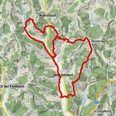
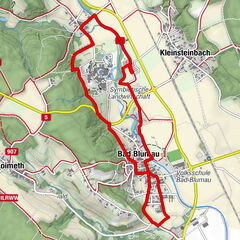
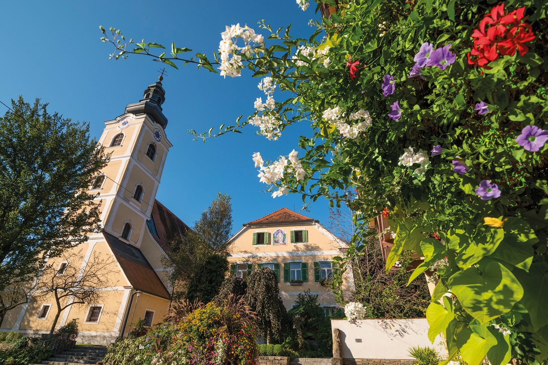
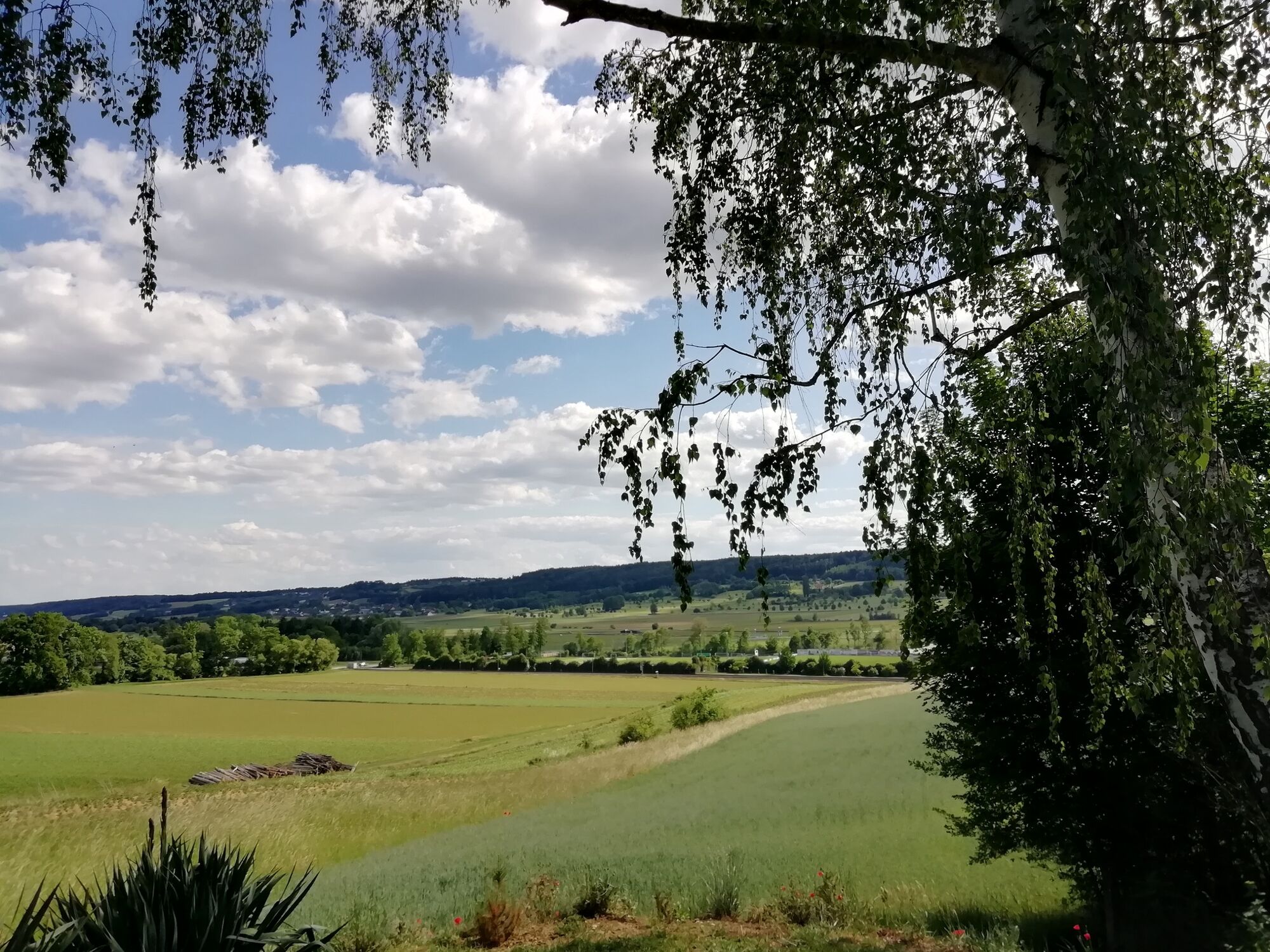
The Herrschaftswaldweg is a very flat trail, which mostly leads through the forest. The W7 leads from Bad Waltersdorf - Wagerberg and Limbach.
- Vaikeus
-
helppo
- Arviointi
-
- Reitti
-
Bad WaltersdorfPfarrkirche hl. MargarethaWagerberg2,3 kmWagerberg8,8 kmBad Waltersdorf11,0 kmPfarrkirche hl. Margaretha11,2 km
- Paras kausi
-
tammihelmimaalishuhtitoukokesäheinäelosyyslokamarrasjoulu
- Korkein kohta
- 379 m
- Kohde
-
Information office Bad Waltersdorf
- Korkeusprofiili
-


-

-
KirjoittajaKiertue Dominion forest trail (Herrschaftswaldweg) käyttää outdooractive.com toimitettu.
GPS Downloads


Yleistä tietoa
Flora
Lisää retkiä alueilla
-
Thermen- & Vulkanland
1324
-
Bad Waltersdorf
624
-
Bad Waltersdorf
94