© Oststeiermark Tourismus - Christine Pollhammer

© Oststeiermark Tourismus - Christine Pollhammer

© Helmut Schweighofer

© Oststeiermark Tourismus - Christine Pollhammer

© Oststeiermark Tourismus - Christine Pollhammer

© Oststeiermark Tourismus - Christine Pollhammer

© Oststeiermark Tourismus - Christine Pollhammer

© Oststeiermark Tourismus - Christine Pollhammer

© Oststeiermark Tourismus - Christine Pollhammer

© Oststeiermark Tourismus - Christine Pollhammer
- Lyhyt kuvaus
-
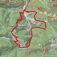
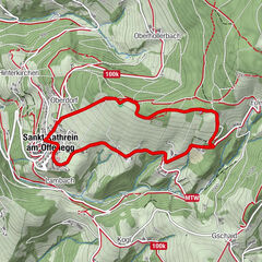
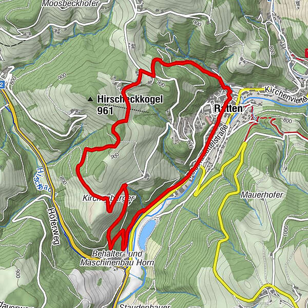
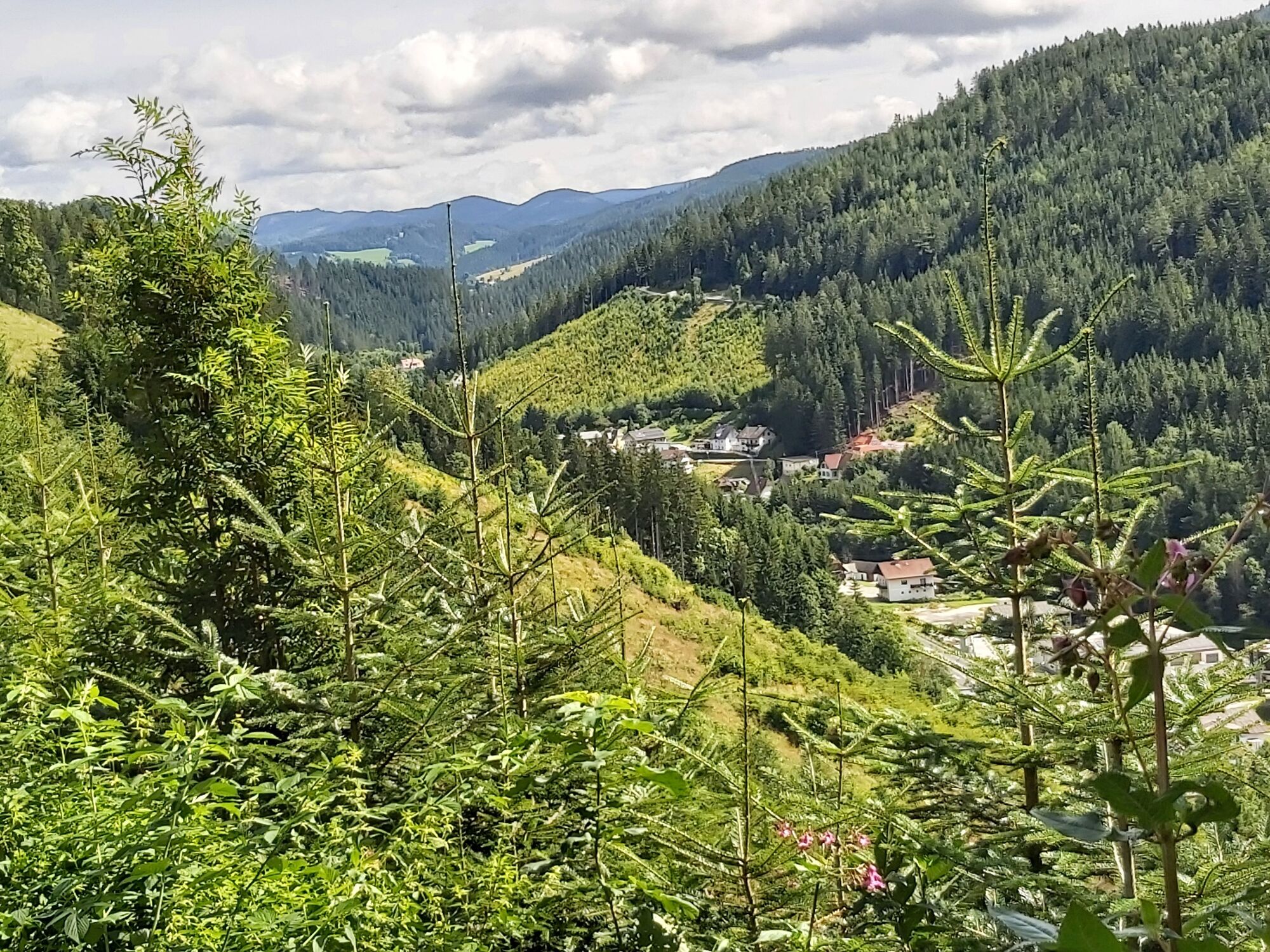
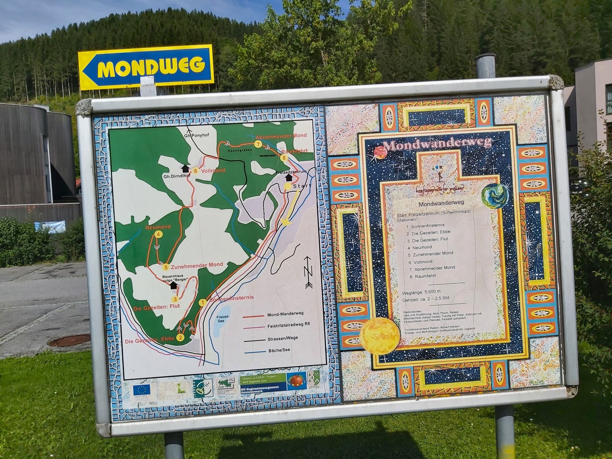
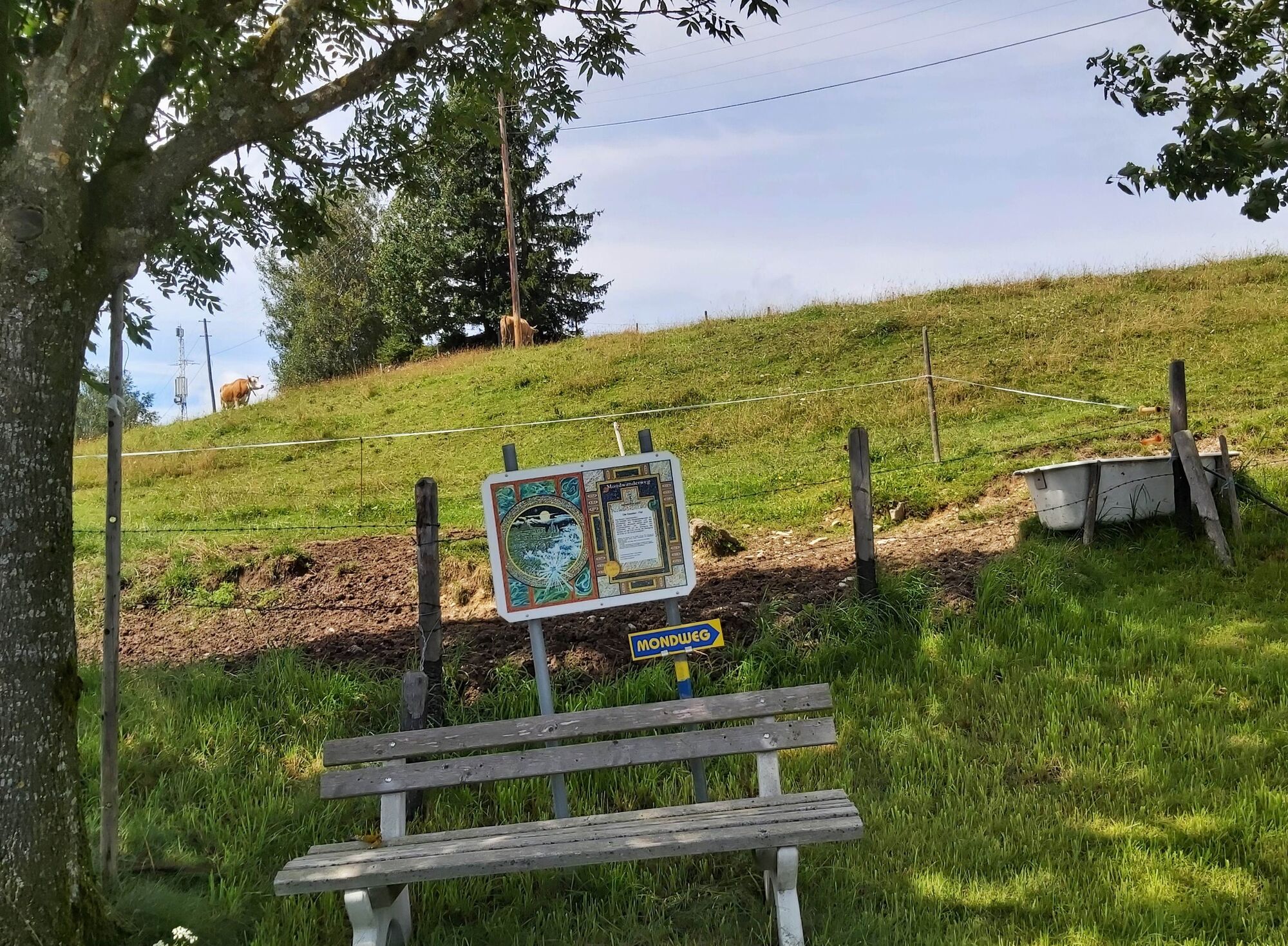
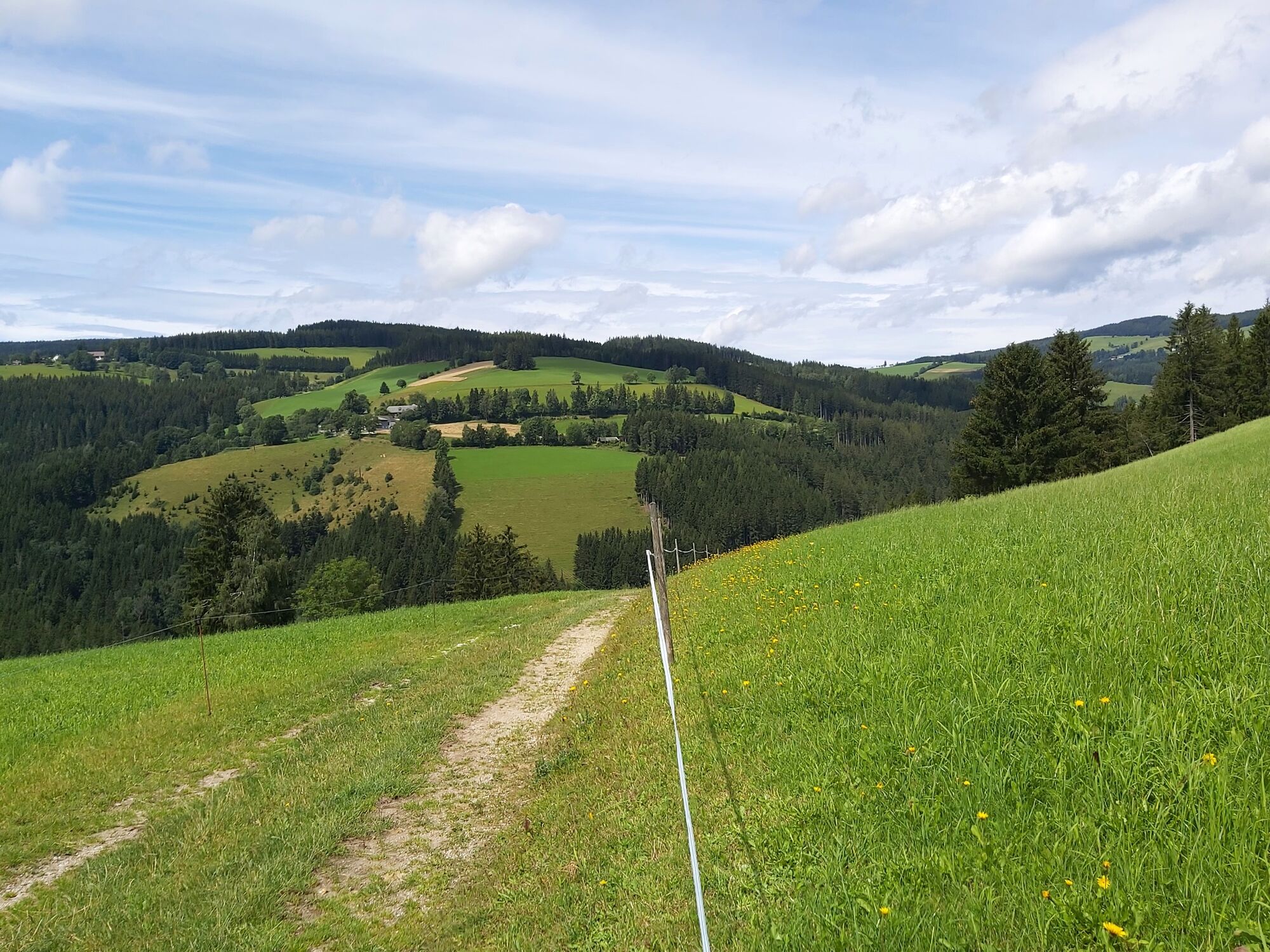
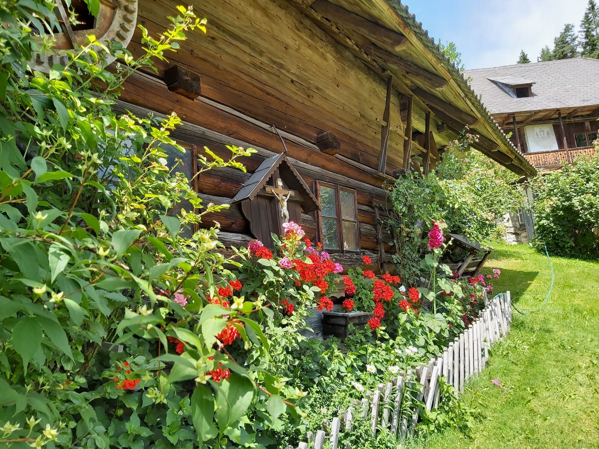
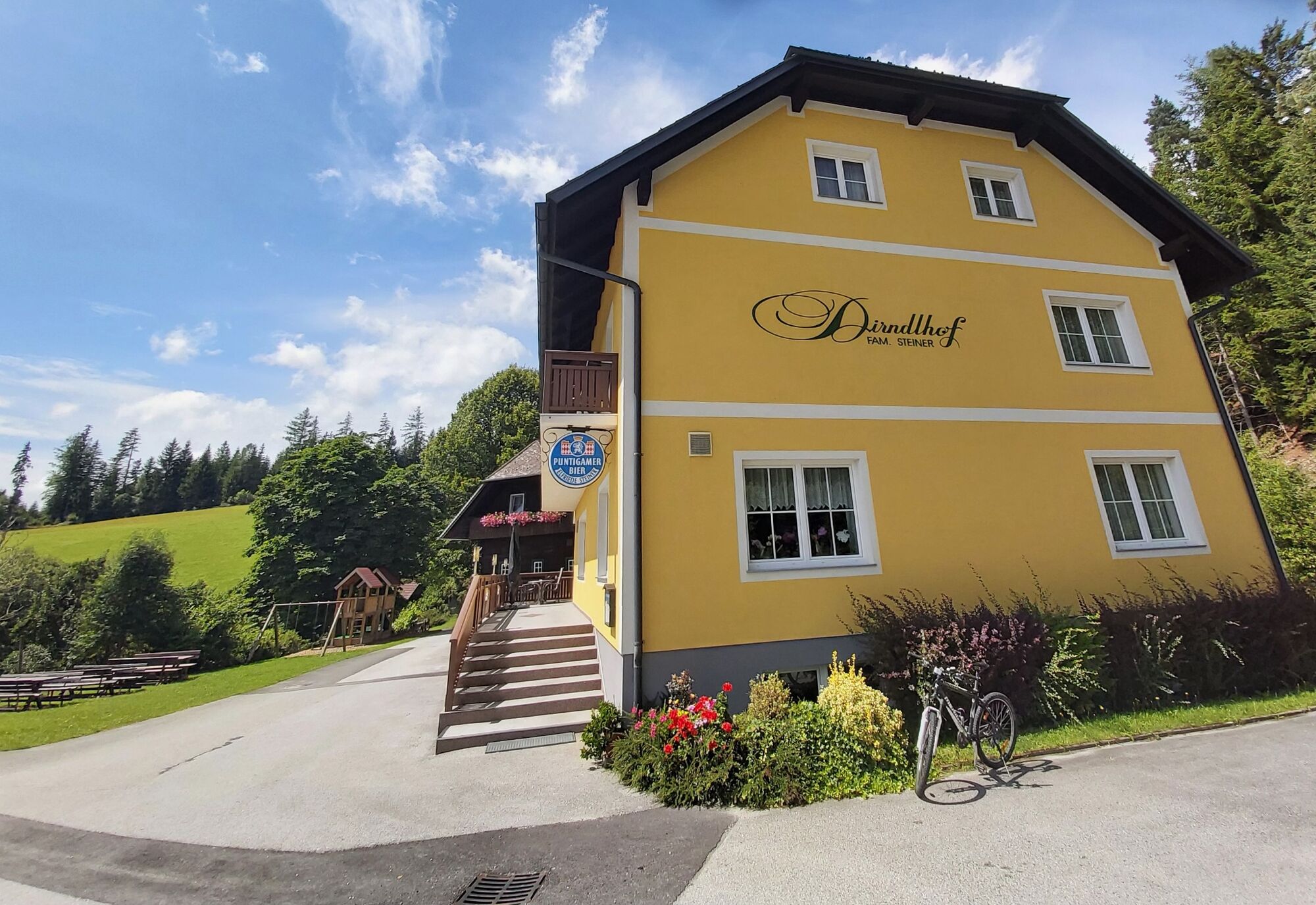
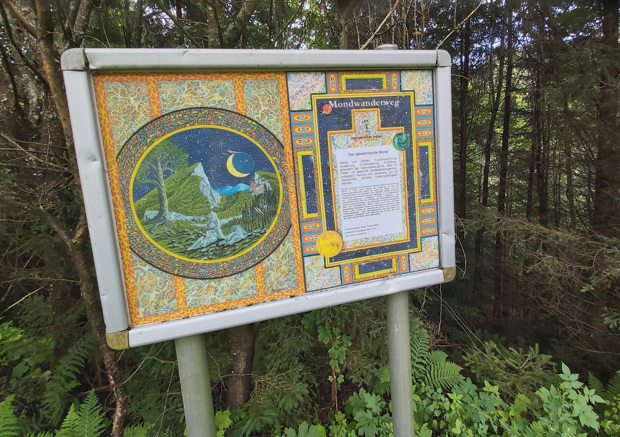
The Mondweg is a comfortable circular trail with a few climbs, which leads you from the center of Ratten through forests and along field paths back to the starting point. After about 1 1/2 hours you reach the inn "Dirndlhof". Afterwards, the Keuchgraben leads you back to the village center.
- Vaikeus
-
helppo
- Arviointi
-
- Reitti
-
Ratten0,0 km
- Paras kausi
-
tammihelmimaalishuhtitoukokesäheinäelosyyslokamarrasjoulu
- Korkein kohta
- 914 m
- Kohde
-
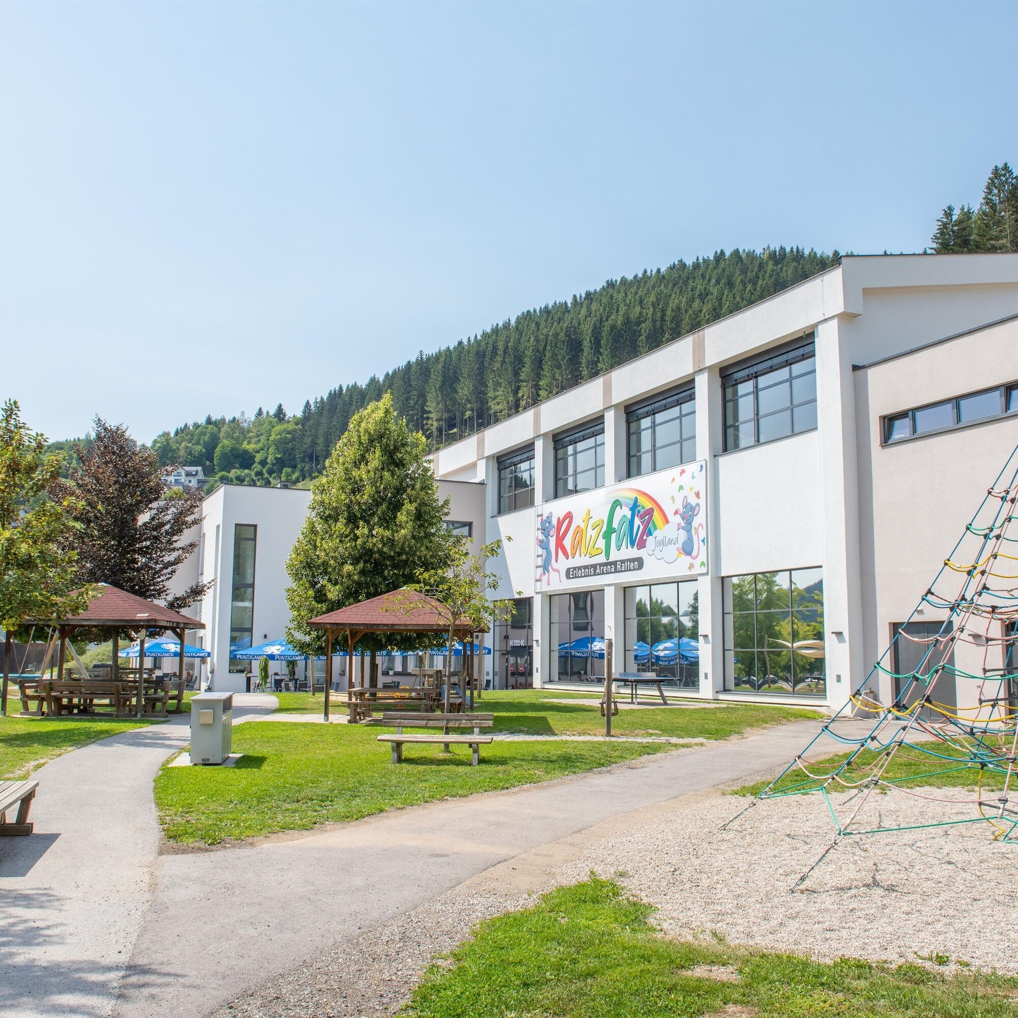
Recreation center Ratten
- Korkeusprofiili
-


-

-
KirjoittajaKiertue Moonway käyttää outdooractive.com toimitettu.
GPS Downloads


Yleistä tietoa
Virvokepysäkki
Kulttuuri/Historiallinen
Sisäpiirin vinkki
Lupaava
Lisää retkiä alueilla
-
Hochsteiermark
4066
-
Joglland - Waldheimat
1506
-
St. Kathrein am Hauenstein
327