
- Lyhyt kuvaus
-
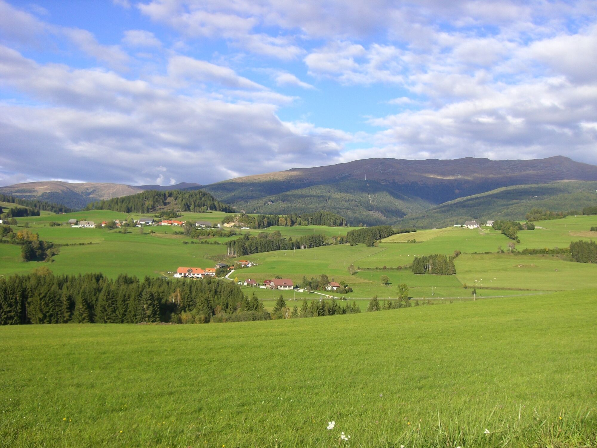
Welcome to the VIA NATURA - a long-distance hiking trail with a length of about 130 km.
- Vaikeus
-
tapa
- Arviointi
-
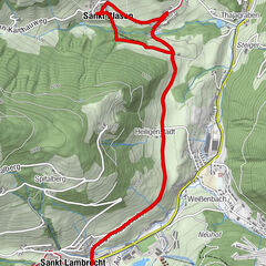
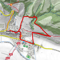
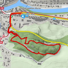
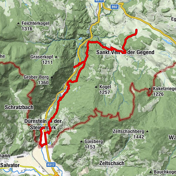
- Reitti
-
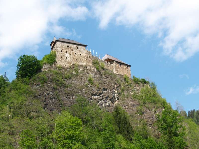
Sankt Veit in der Gegend1,8 kmPfarrkirche hl. Veit1,8 kmUnterviertel2,7 kmWildbad Einöd6,7 kmOman12,0 kmGuldendorf16,1 kmDürnstein in der Steiermark17,5 km
- Paras kausi
-
tammihelmimaalishuhtitoukokesäheinäelosyyslokamarrasjoulu
- Korkein kohta
- 985 m
- Kohde
-
Center of Dürnstein
- Korkeusprofiili
-

- Kirjoittaja
-
Kiertue Via Natura stage 9: Energy fields in nature käyttää outdooractive.com toimitettu.
GPS Downloads


Yleistä tietoa
Virvokepysäkki
Lisää retkiä alueilla