© TVB Haus-Aich-Gössenberg
© TVB Haus-Aich-Gössenberg

© TVB Haus-Aich-Gössenberg
© TVB Haus-Aich-Gössenberg
© TVB Haus-Aich-Gössenberg
© TVB Haus-Aich-Gössenberg
© TVB Haus-Aich-Gössenberg
© TVB Haus-Aich-Gössenberg

© TVB Haus-Aich-Gössenberg
© TVB Haus-Aich-Gössenberg
- Lyhyt kuvaus
-
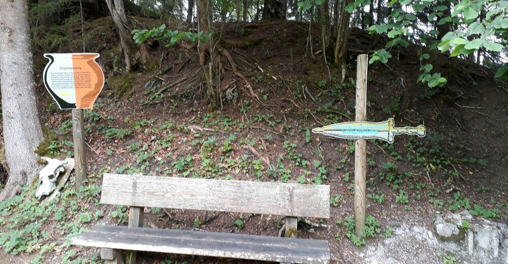
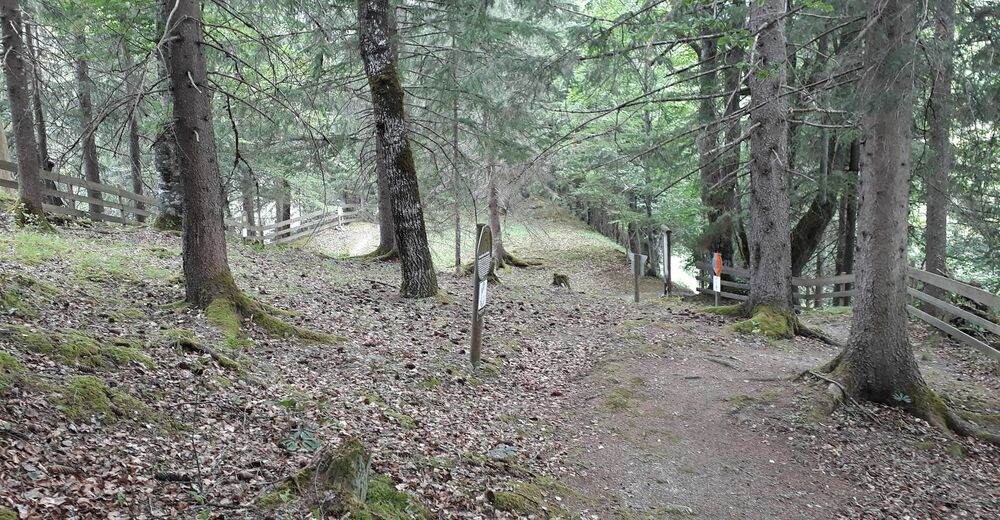
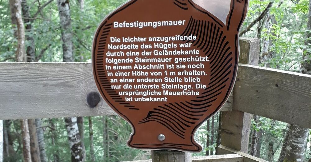
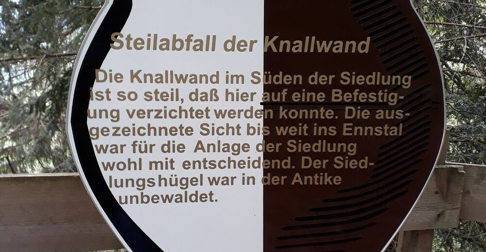
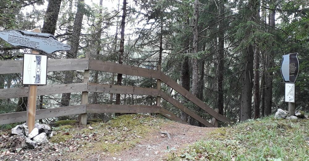
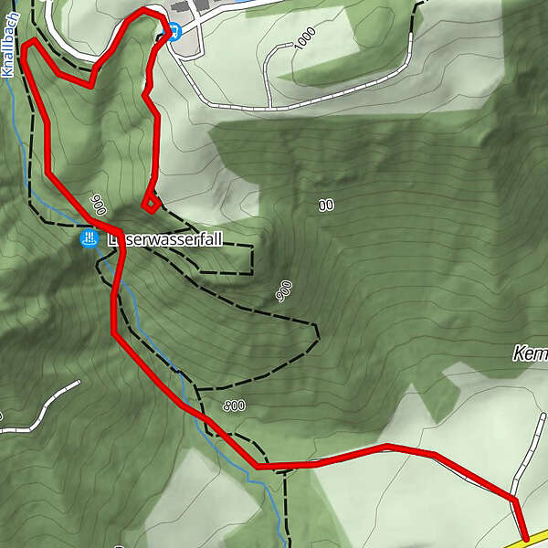
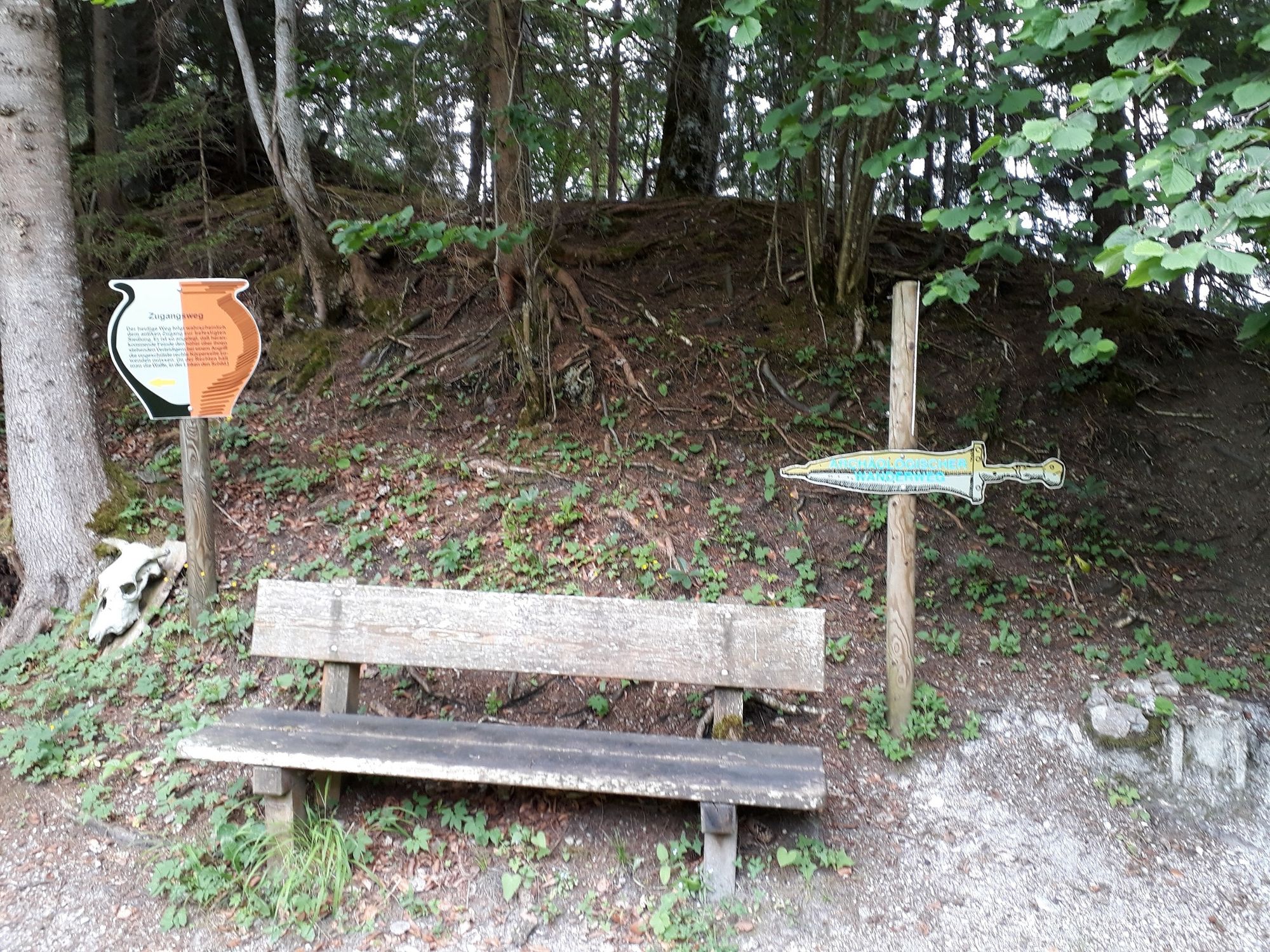
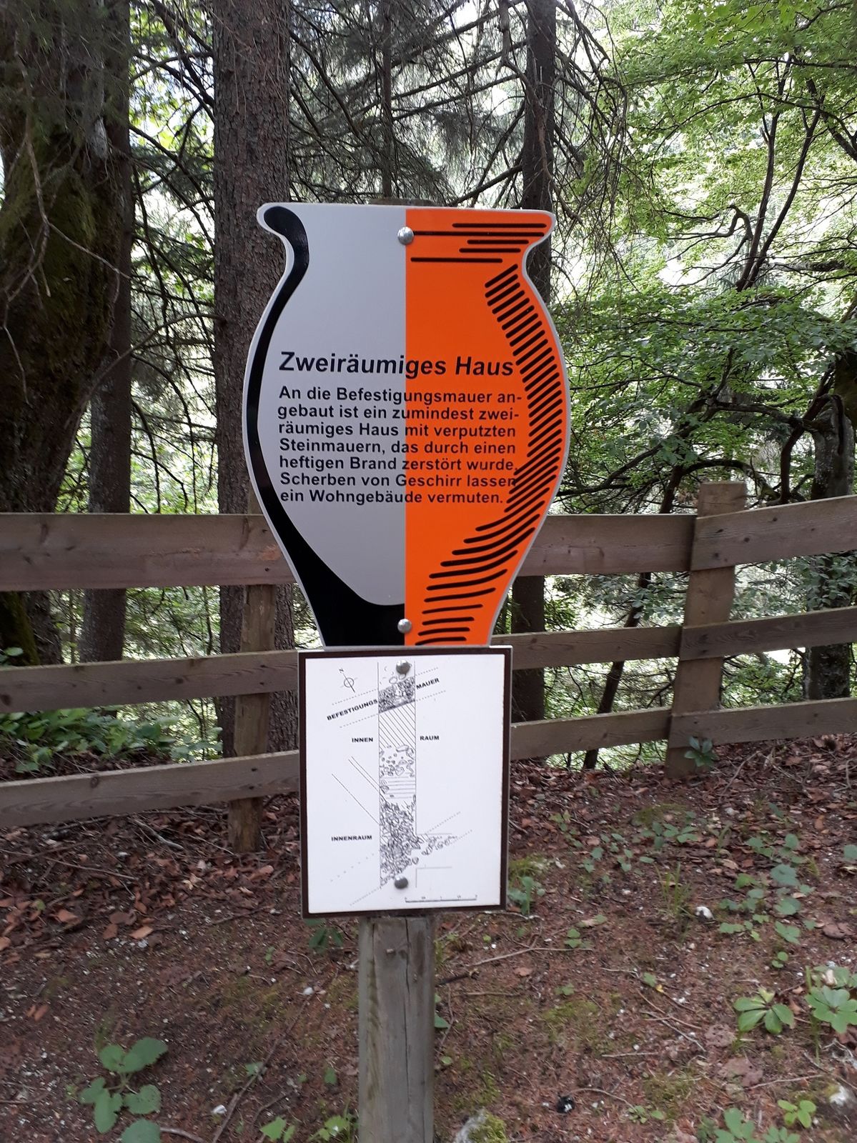
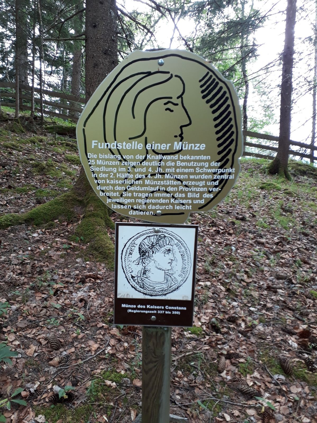
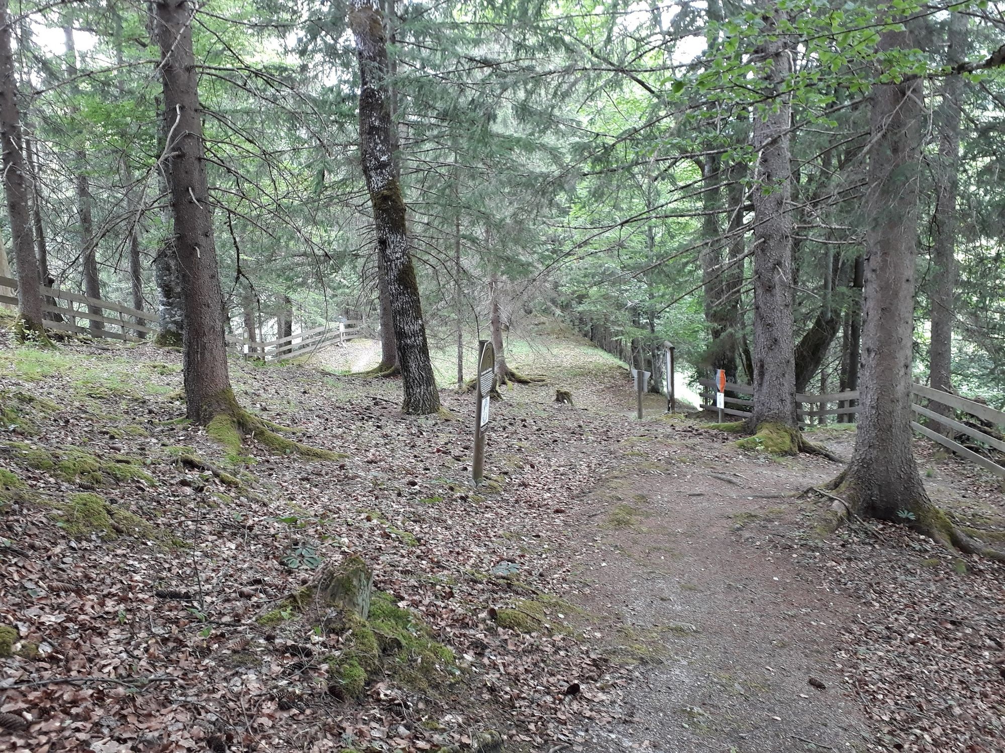
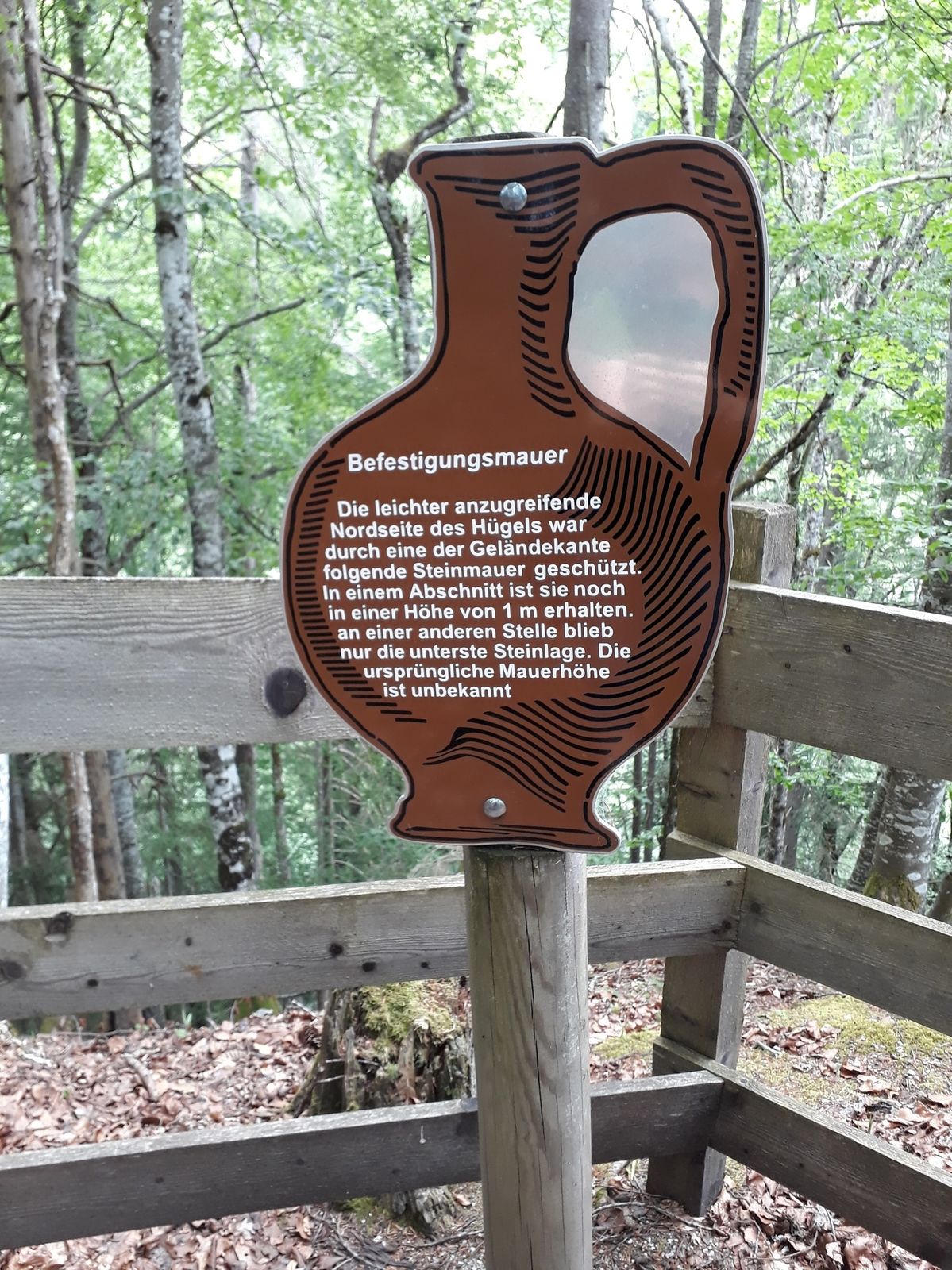
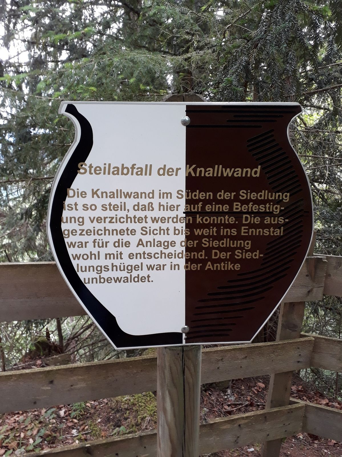
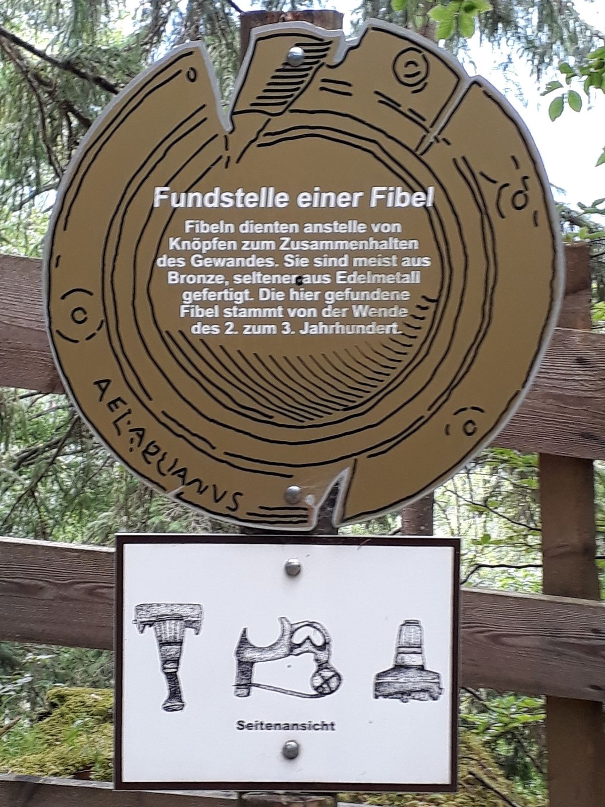
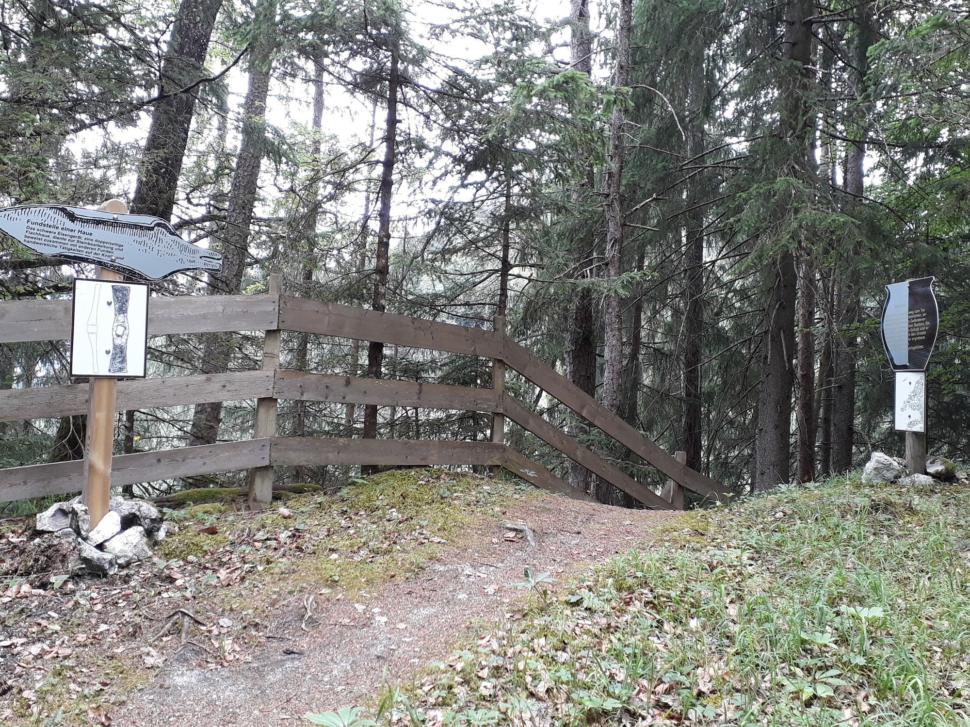
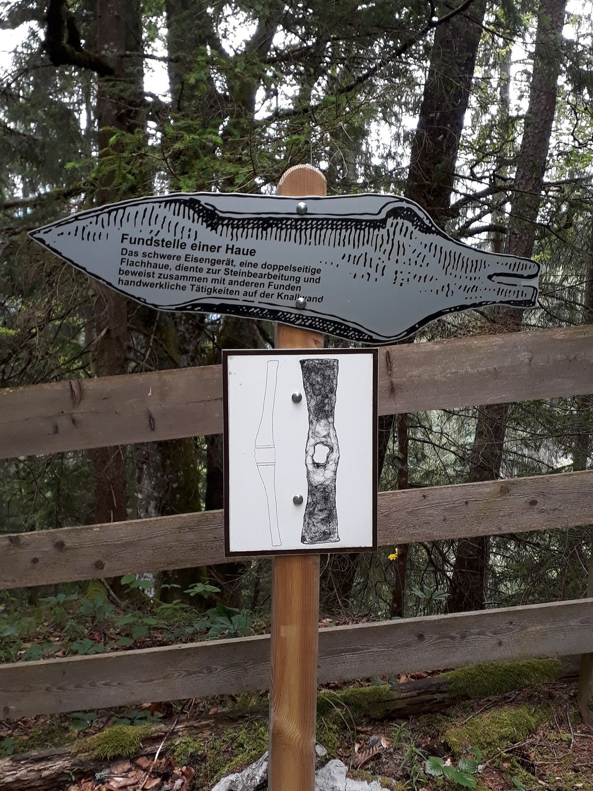
The hilltop settlement on the Knallwand is a fortified and difficult to access retreat settlement created by the Romans above the Knallwand and served as protection against enemy attacks.
- Vaikeus
-
tapa
- Arviointi
-
- Reitti
-
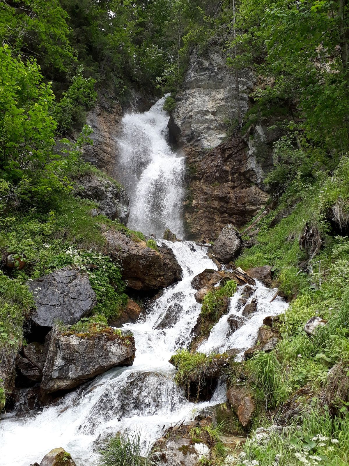
Luserwasserfall2,2 km
- Paras kausi
-
tammihelmimaalishuhtitoukokesäheinäelosyyslokamarrasjoulu
- Korkein kohta
- 970 m
- Kohde
-
Weißenbach/Rössingstraße
- Korkeusprofiili
-


-
-
KirjoittajaKiertue Archaeology trail at Luserwasserfall käyttää outdooractive.com toimitettu.
GPS Downloads


Yleistä tietoa
Kulttuuri/Historiallinen
Lisää retkiä alueilla
-
Schladming - Dachstein
2999
-
Haus - Aich
1364
-
Haus im Ennstal
367