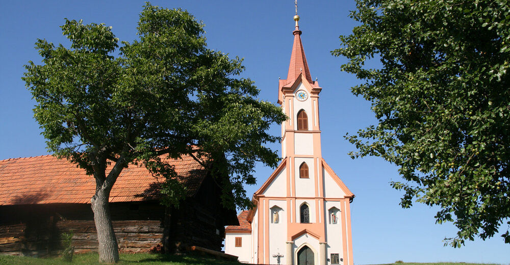
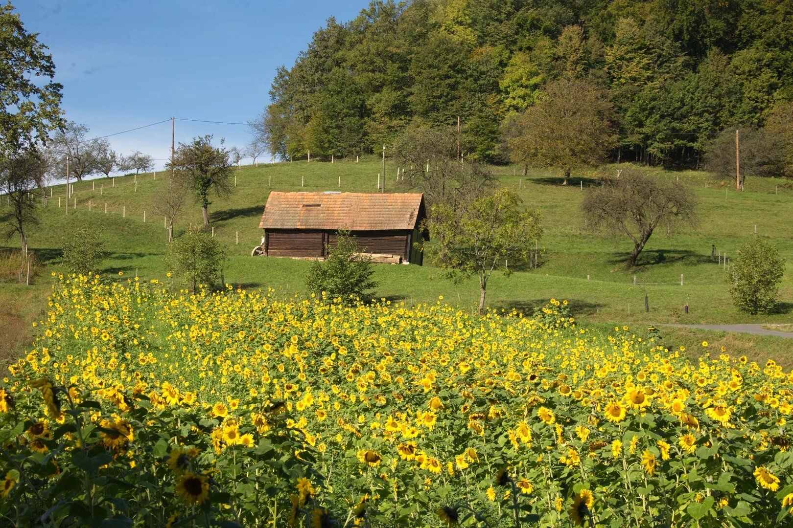
© Kapelle Glojach (c) Pauritsch_Tourismus Saßtal
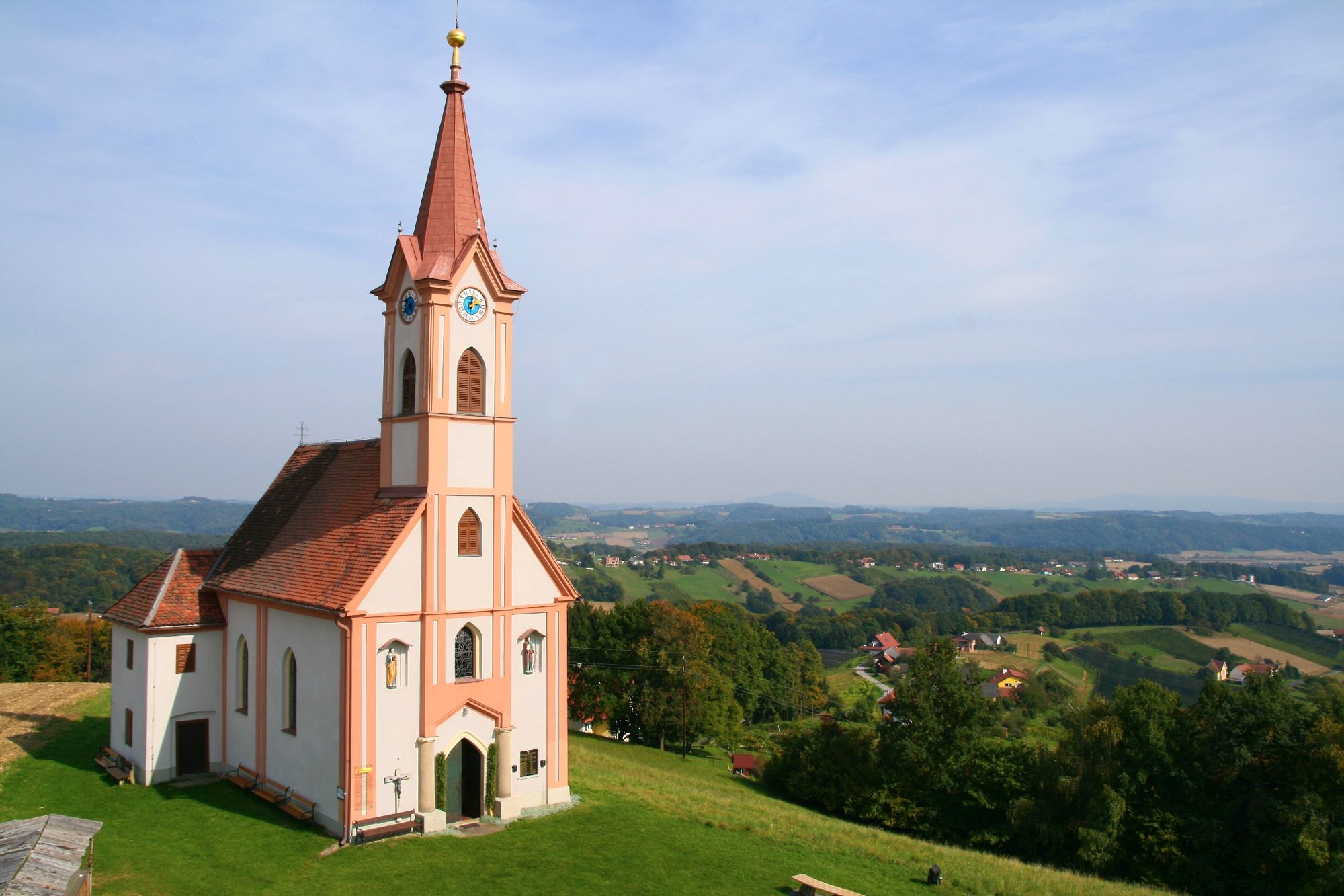
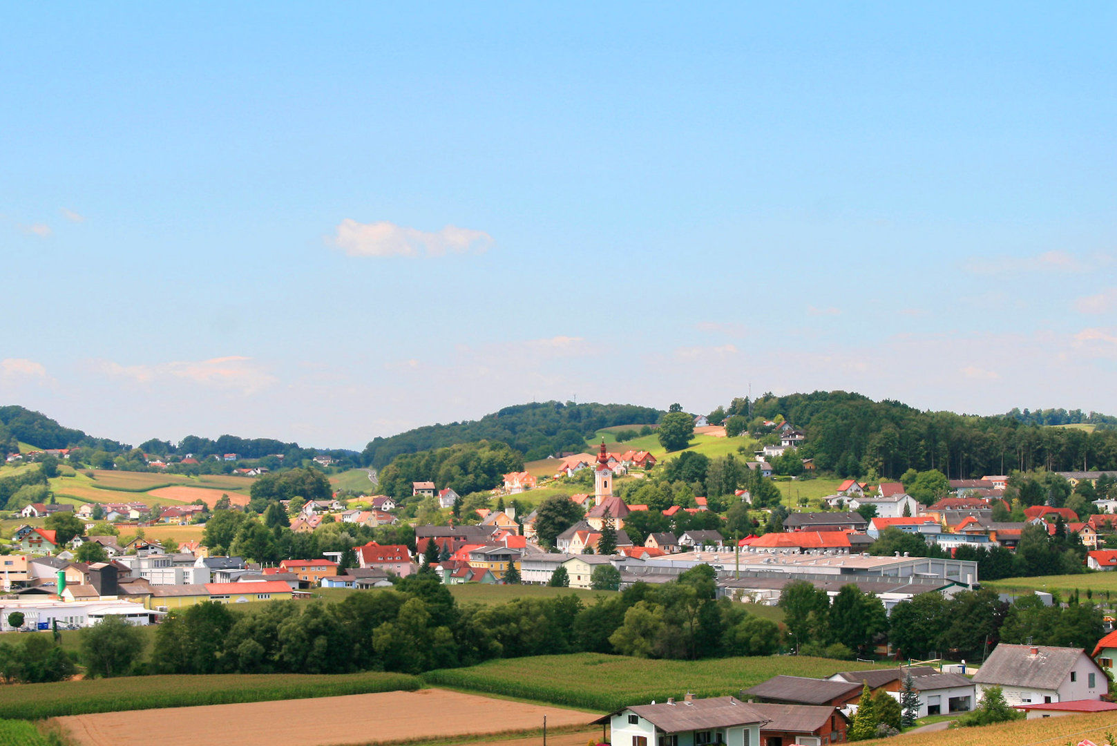
© Marktgemeinde St. Stefan im Rosental
© Marktgemeinde St. Stefan im Rosental
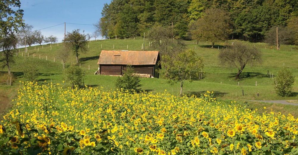
© Marktgemeinde Jagerberg
- Lyhyt kuvaus
-
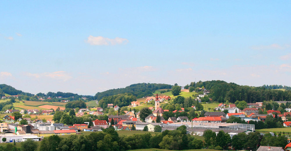
The hiking trail leads you directly to the chapel in Glojach, where you can enjoy a wonderful view over the hilly landscape of southeastern Styria.
- Vaikeus
-
helppo
- Arviointi
-
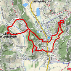
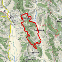
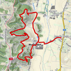
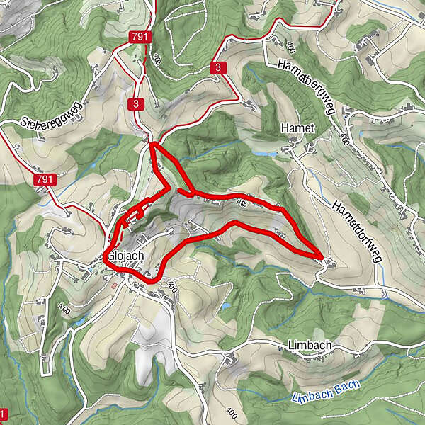
- Reitti
-
Glojach0,0 kmGreith1,2 kmGlojachberg2,2 kmHinteregg3,8 km
- Paras kausi
-
tammihelmimaalishuhtitoukokesäheinäelosyyslokamarrasjoulu
- Korkein kohta
- 461 m
- Kohde
-
Village center Glojach
- Korkeusprofiili
-


-

-
KirjoittajaKiertue Chapels circuit (Kapellenrundweg) Glojach käyttää outdooractive.com toimitettu.
GPS Downloads


Yleistä tietoa
Virvokepysäkki
Kulttuuri/Historiallinen
Sisäpiirin vinkki
Lupaava
Lisää retkiä alueilla
-
Südsteiermark
1132
-
Region Gleisdorf
1006
-
St. Stefan im Rosental
75