© Oststeiermark Tourismus - © Gute Idee

© Oststeiermark Tourismus - Helmut Schweighofer

© Oststeiermark Tourismus - Helmut Schweighofer

© Oststeiermark Tourismus - Helmut Schweighofer

© Oststeiermark Tourismus - Tourismusverband Oststeiermark

© Oststeiermark Tourismus - Tourismusverband Oststeiermark

© Outdooractive – 3D Videos - Tourismusverband Oststeiermark
- Lyhyt kuvaus
- Vaikeus
-
helppo
- Arviointi
-
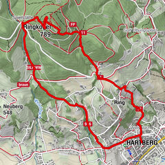
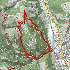
- Reitti
-
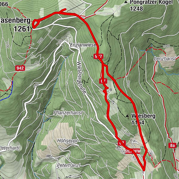
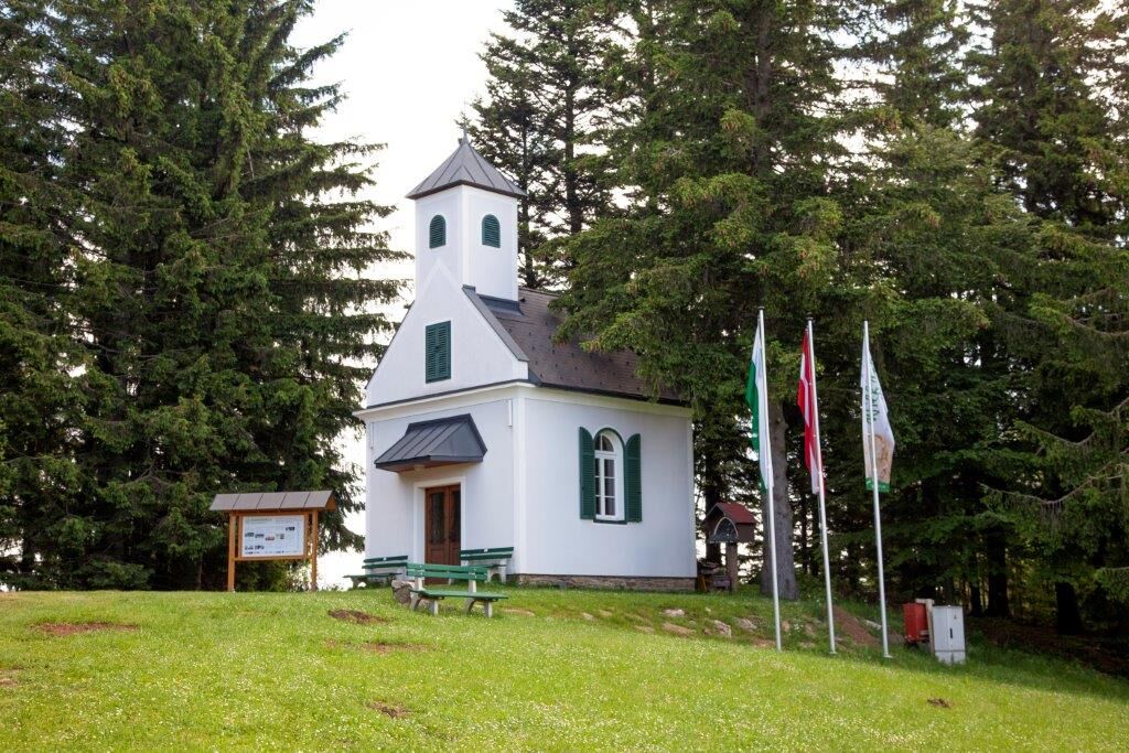
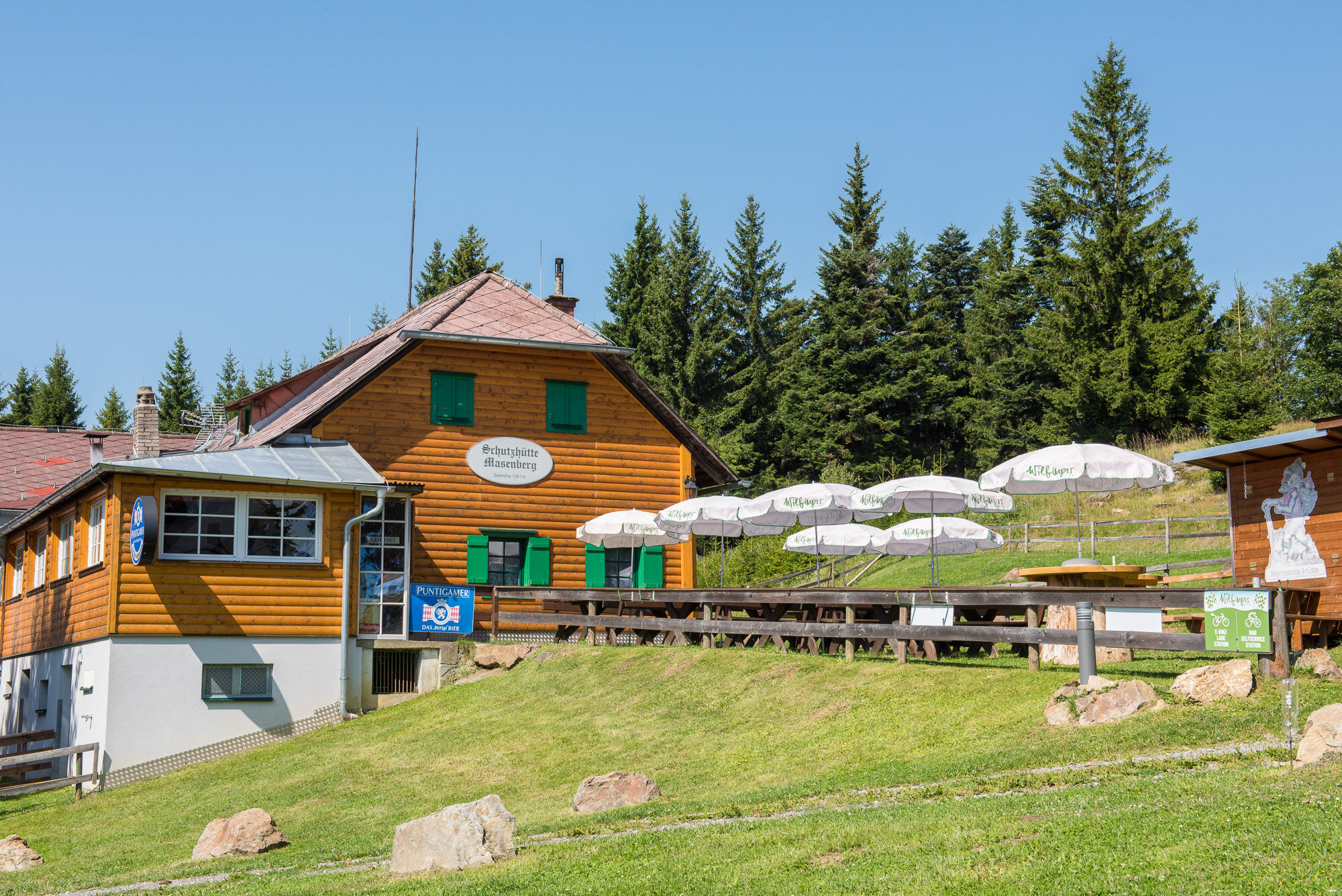
Schutzhaus Masenberg0,1 kmMasenberg (1.261 m)0,1 kmGlückskapelle0,1 kmWiesberg (1.164 m)4,1 kmOlmstoll6,3 kmGlückskapelle6,6 kmSchutzhaus Masenberg6,7 kmMasenberg (1.261 m)6,7 km
- Paras kausi
-
tammihelmimaalishuhtitoukokesäheinäelosyyslokamarrasjoulu
- Korkein kohta
- 1.255 m
- Kohde
-
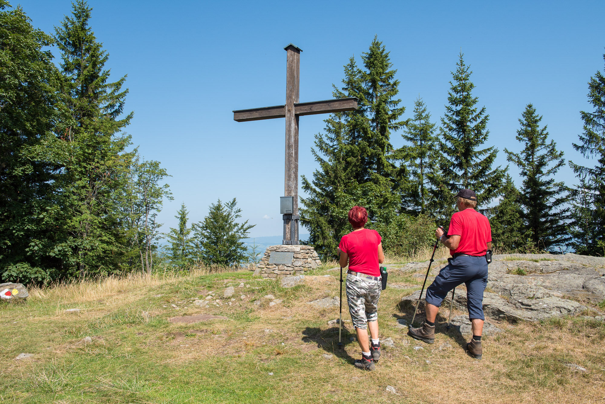
Pöllauberg, Masenberg refuge
- Korkeusprofiili
-


-

-
KirjoittajaKiertue Masenberg circuit, Pöllauberg käyttää outdooractive.com toimitettu.
GPS Downloads


Yleistä tietoa
Virvokepysäkki
Parantava ilmasto
Flora
Fauna
Lupaava
Lisää retkiä alueilla
-
Thermen- & Vulkanland
1324
-
Naturpark Pöllauer Tal
1094
-
Pöllauberg
353