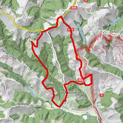
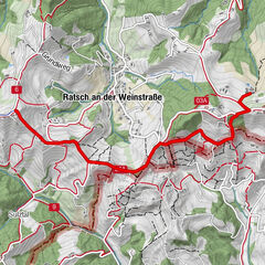
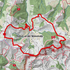
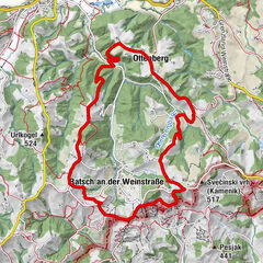
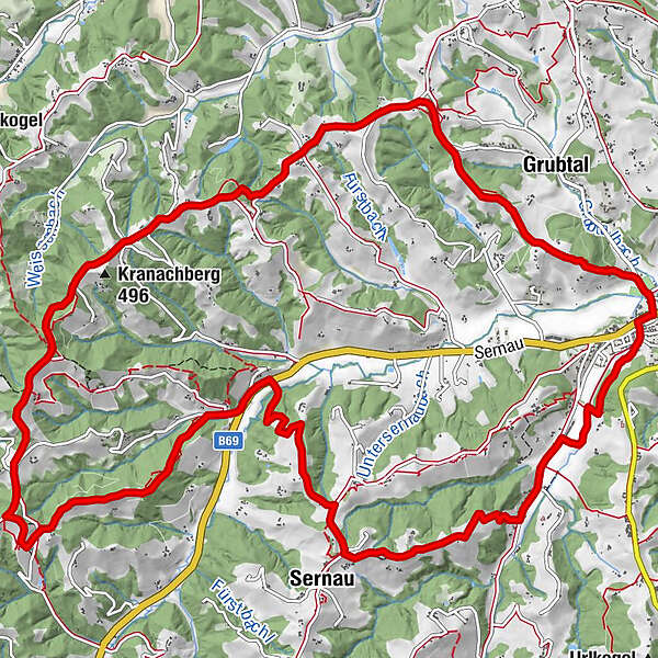
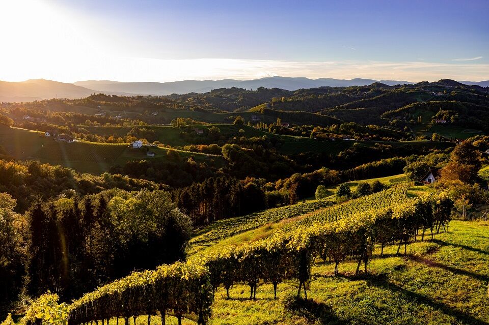
Hiking Trail No. 8 Großer Gamlitzer Rundwanderweg (Long Gamlitz Round Trail)


© TV Gamlitz - Harry Schiffer

© TV Gamlitz - Harry Schiffer

© TV Gamlitz - Harry Schiffer

© TV Gamlitz - Harry Schiffer

© TV Gamlitz - Harry Schiffer

© TV Gamlitz - Harry Schiffer
- Lyhyt kuvaus
- Vaikeus
-
helppo
- Arviointi
-
- Reitti
-
GamlitzGrubtal1,2 kmBuschenschank Tinnauer3,5 kmLabitschberg3,6 kmBuschenschank Steiner4,0 kmKranachberg (496 m)5,7 kmFamilienweingut Buschenschank Trabos8,6 kmSernau13,4 kmBuschenschank Adam-Schererkogl14,3 kmGamlitz17,6 km
- Paras kausi
-
tammihelmimaalishuhtitoukokesäheinäelosyyslokamarrasjoulu
- Korkein kohta
- 510 m
- Kohde
-
Sports ground Gamlitz
- Korkeusprofiili
-


-

-
KirjoittajaKiertue Hiking Trail No. 8 Großer Gamlitzer Rundwanderweg (Long Gamlitz Round Trail) käyttää outdooractive.com toimitettu.
GPS Downloads


Yleistä tietoa
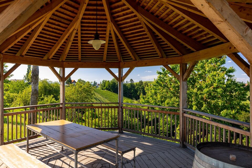
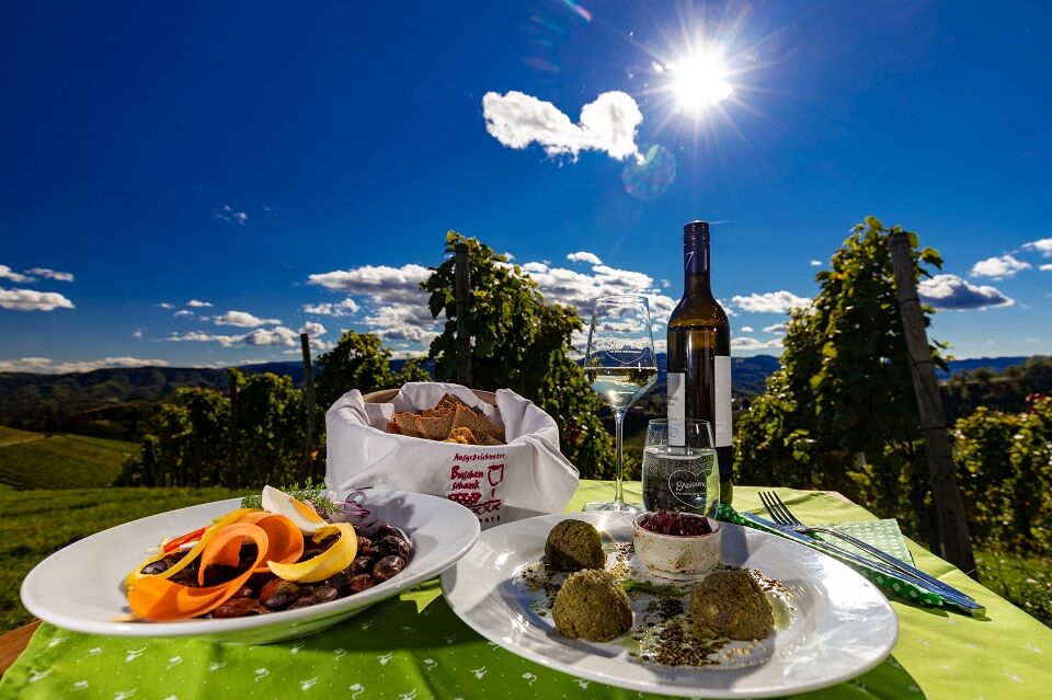
Virvokepysäkki
Sisäpiirin vinkki
Lupaava
Lisää retkiä alueilla
-
Südsteiermark
1132
-
Maribor-Pohorje
261
-
Gamlitz
290