

© Salzkammergut - BergeSeen - Salzkammergut Tourismus

© Salzkammergut - BergeSeen - Salzkammergut Tourismus

© Salzkammergut - BergeSeen - Salzkammergut Tourismus

© Salzkammergut - BergeSeen - Salzkammergut Tourismus

© Salzkammergut - BergeSeen - Salzkammergut Tourismus

© Salzkammergut - BergeSeen - Salzkammergut Tourismus
- Lyhyt kuvaus
-
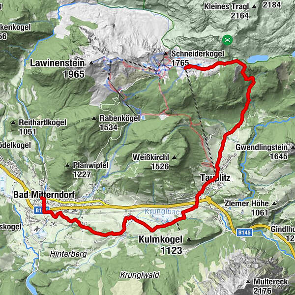
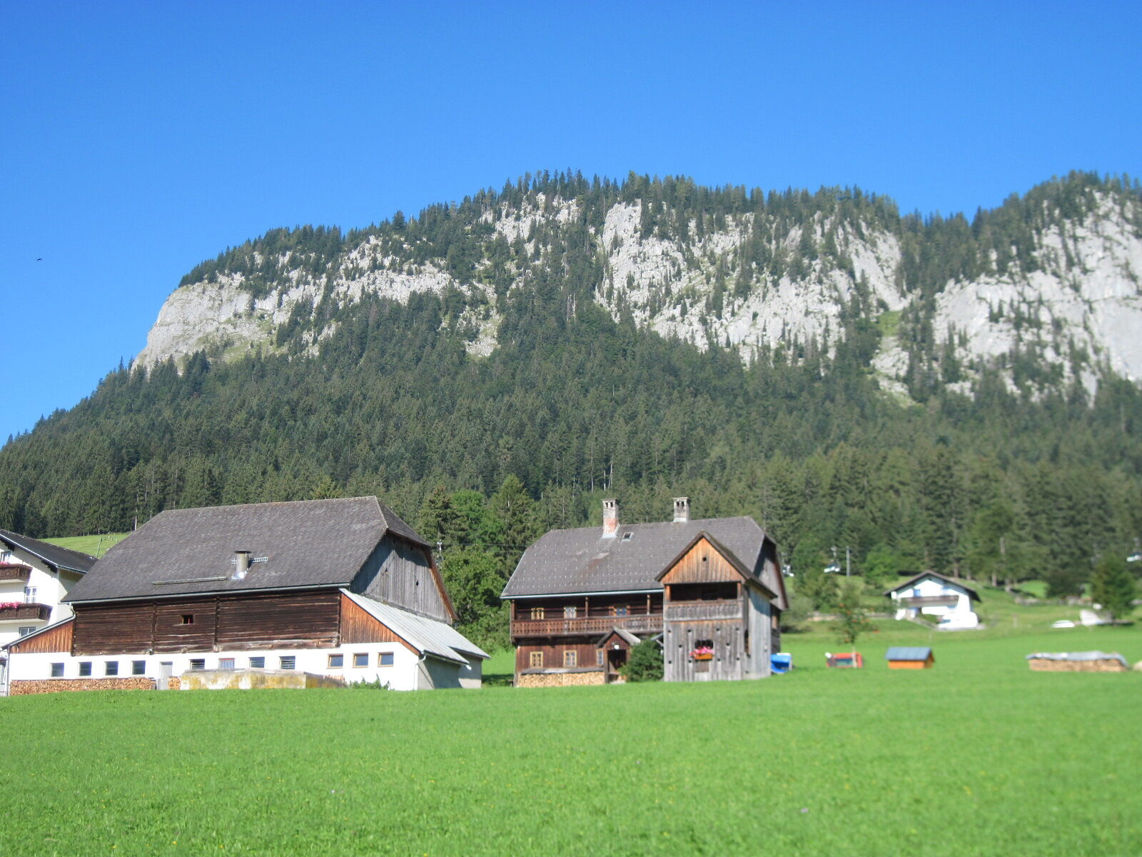
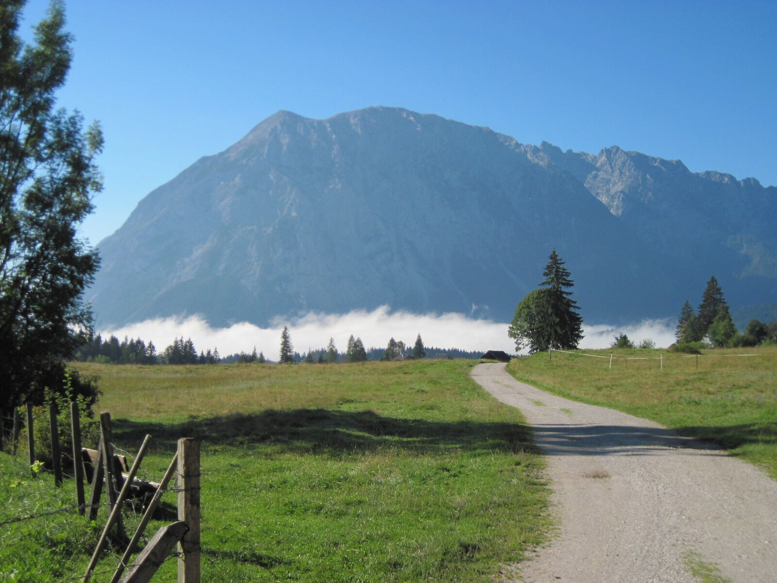
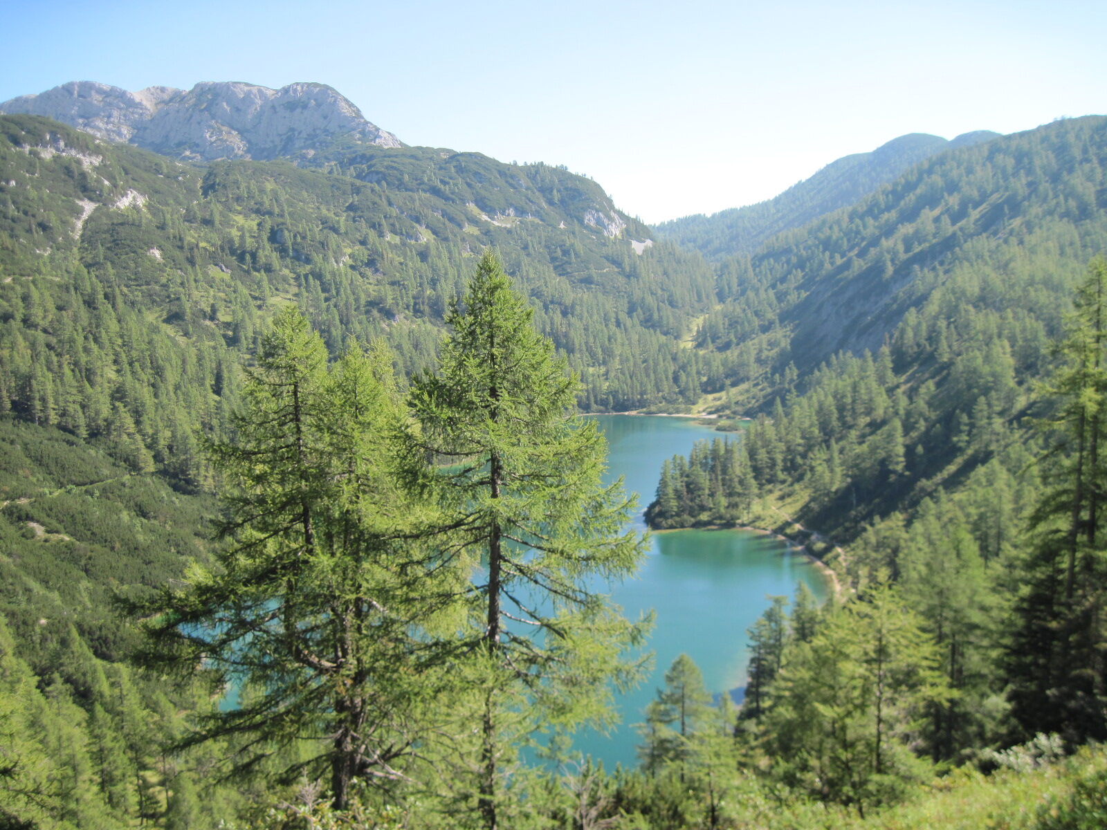
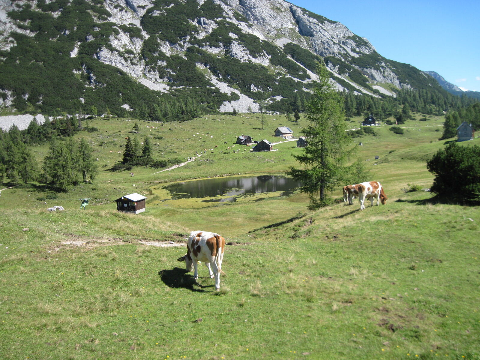
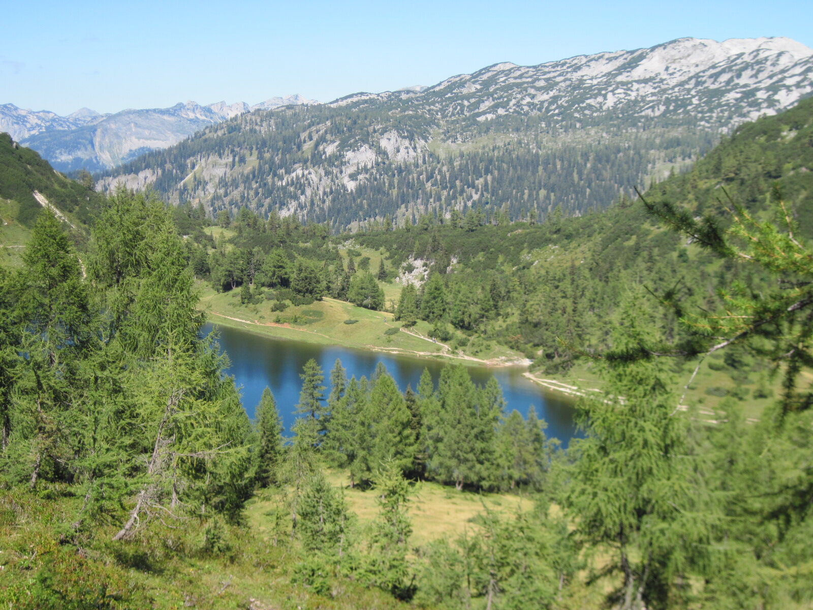
Valley hike along side streets, forestry tracks and a path, then the route ascends to the Tauplitzalm over well-marked forest trails.
- Vaikeus
-
tapa
- Arviointi
-
- Reitti
-
Pfarrkirche zur hl. Margareta0,0 kmBad Mitterndorf0,1 kmKrungl4,6 kmFurt7,9 kmTauplitz8,9 kmFreiberg Rast10,8 kmAlmrausch Hütte14,4 kmTauplitzalm15,6 kmFilialkirche Hl. Dreifaltigkeit16,1 kmBergstation16,4 km
- Paras kausi
-
tammihelmimaalishuhtitoukokesäheinäelosyyslokamarrasjoulu
- Korkein kohta
- 1.648 m
- Kohde
-
Tauplitz - On the high plateau Trauplitzalm
- Korkeusprofiili
-


- Kirjoittaja
-
Kiertue BergeSeen Trail 18: Bad Mitterndorf - Tauplitzalm käyttää outdooractive.com toimitettu.
GPS Downloads


Yleistä tietoa
Virvokepysäkki
Lupaava
Lisää retkiä alueilla
-
Ausseerland - Salzkammergut
3393
-
Gröbminger Land
1197
-
Tauplitz
305


