© Fotograf: Volkhard Maier

© Fotograf: Herfried Marek

© Erlebnisregion Schladming-Dachstein - Schladming Dachstein

© Erlebnisregion Schladming-Dachstein - Schladming Dachstein

© Erlebnisregion Schladming-Dachstein - Schladming Dachstein

© Fotograf: Volkhard Maier

© Fotograf: Volkhard Maier

© Erlebnisregion Schladming-Dachstein - Schladming Dachstein

© Fotograf: Volkhard Maier

© Fotograf: Volkhard Maier
- Lyhyt kuvaus
-
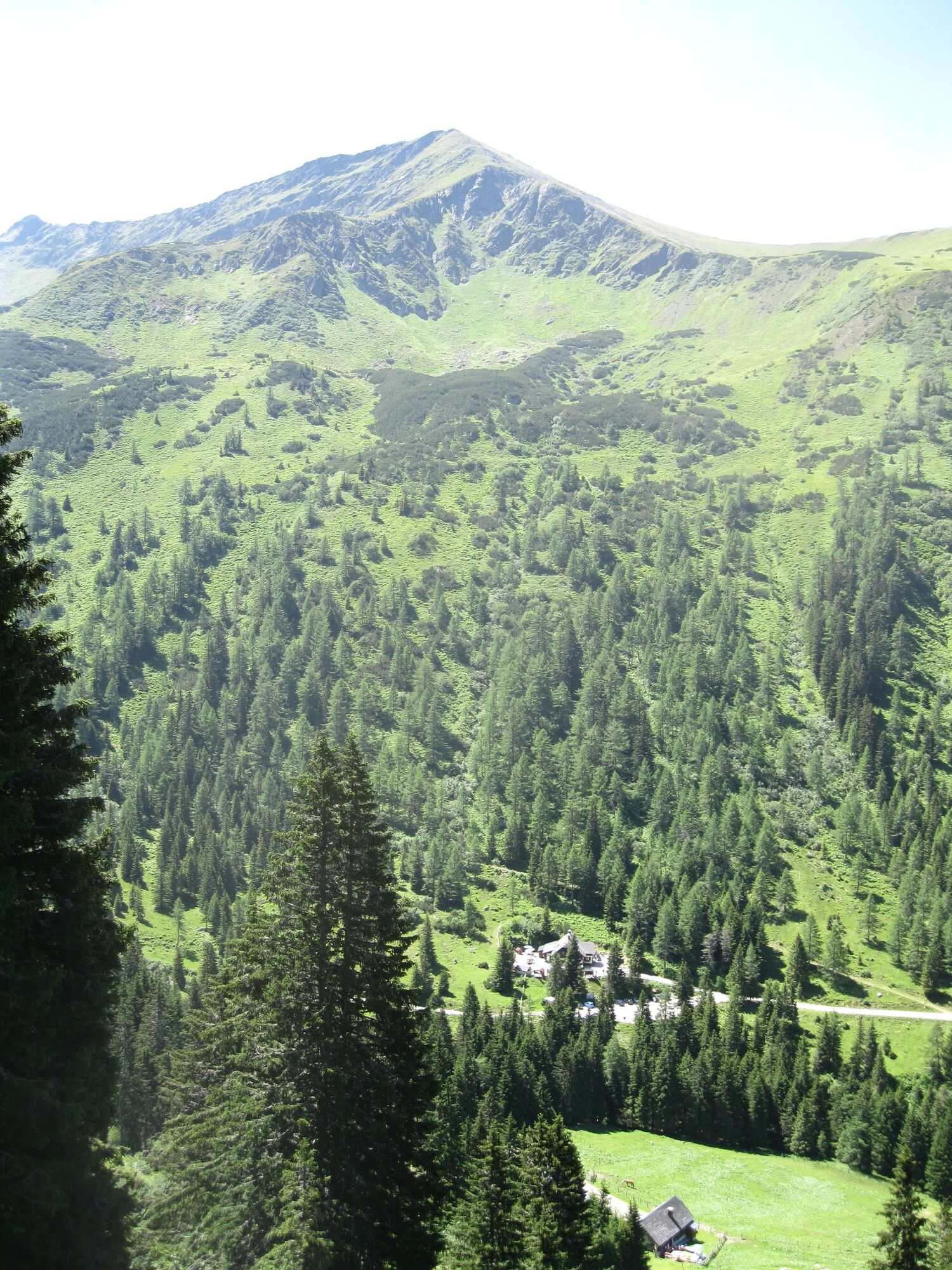
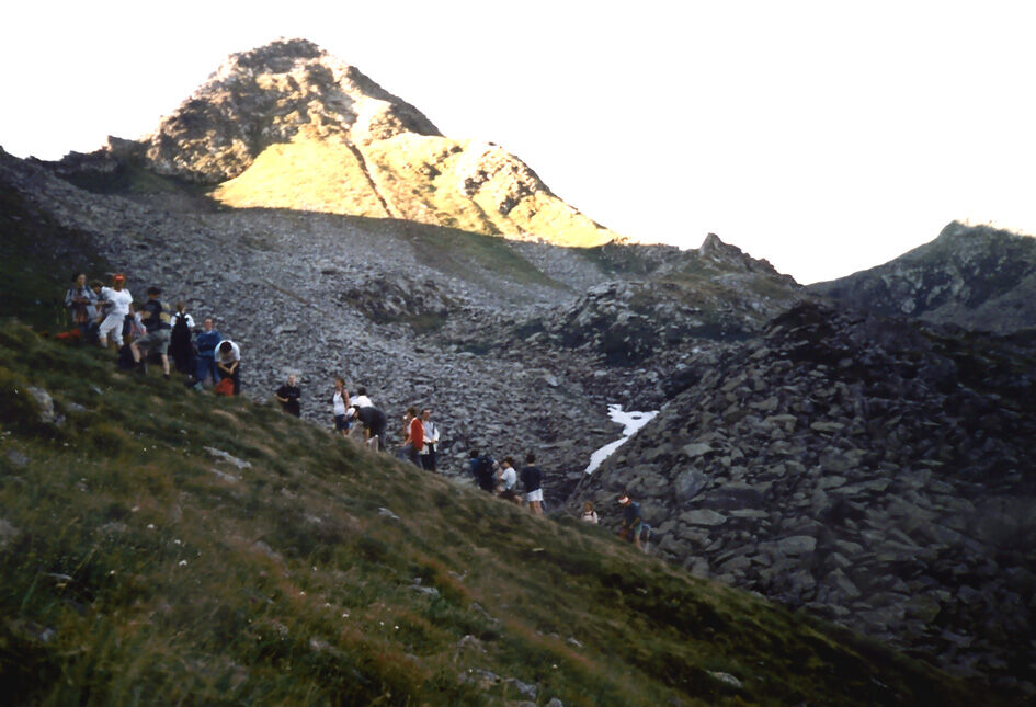
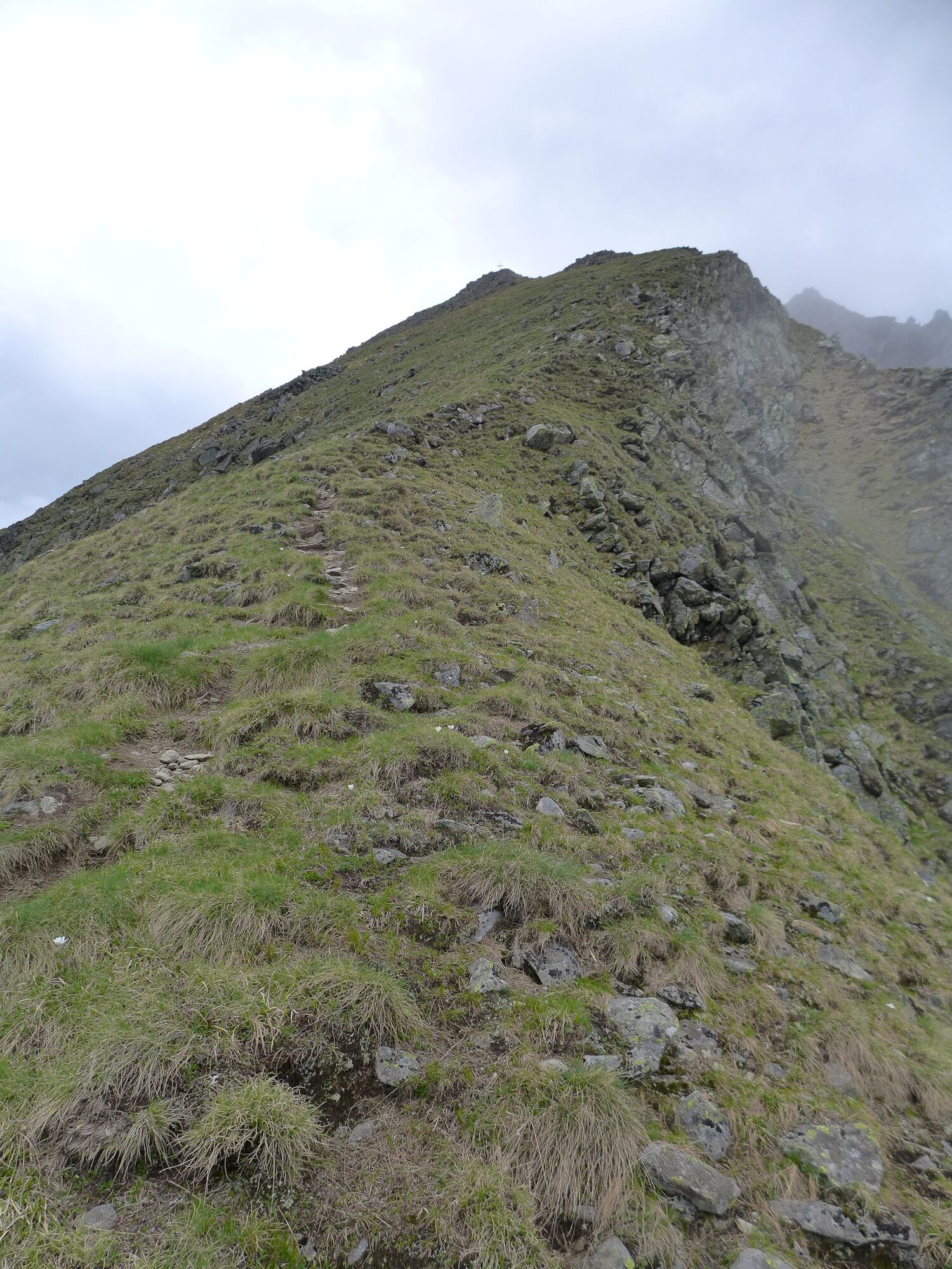
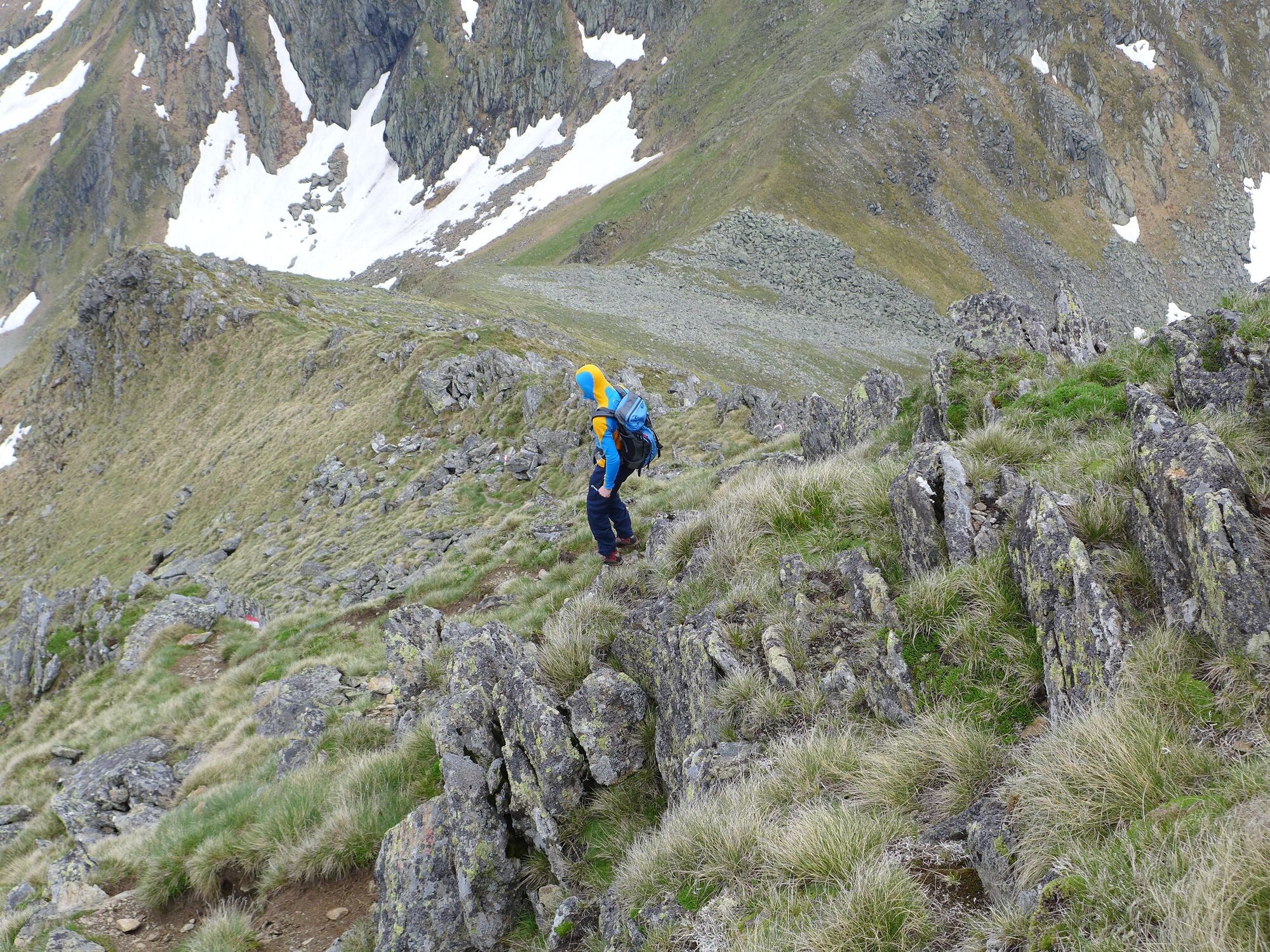
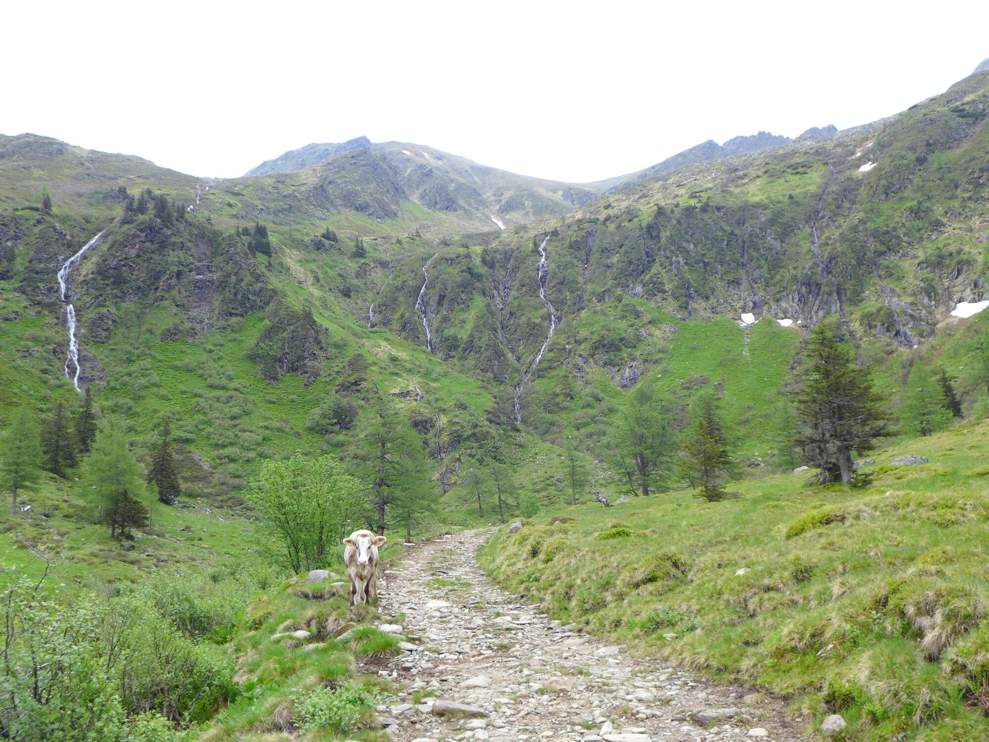
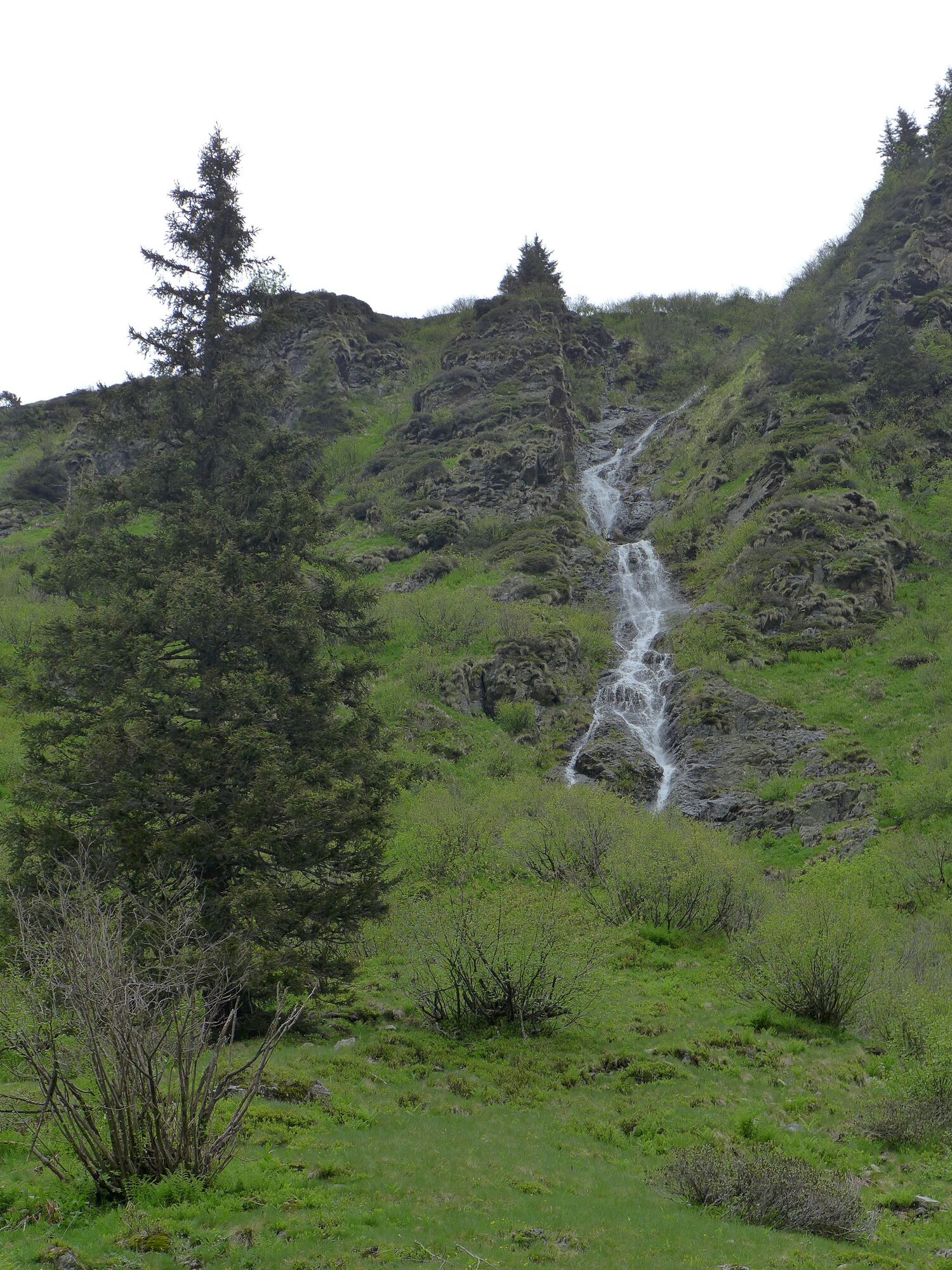
Enchanting summit tour to the border between the Schladminger and Wölzer Tauern, traverse to the Murtal side and down into the Eselsberggraben.
- Vaikeus
-
tapa
- Arviointi
-
- Reitti
-
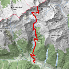
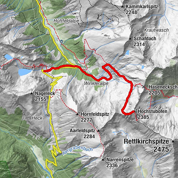
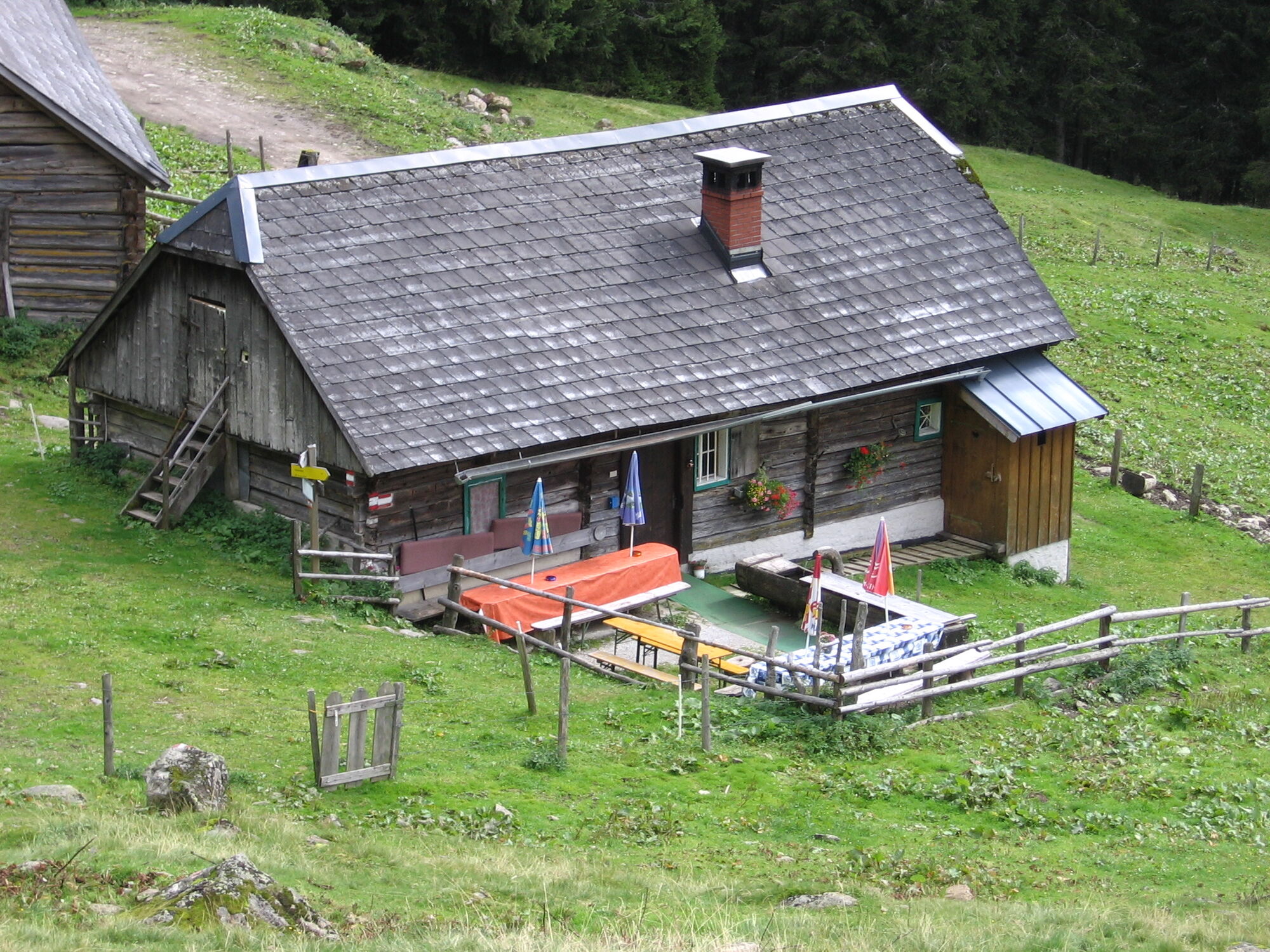
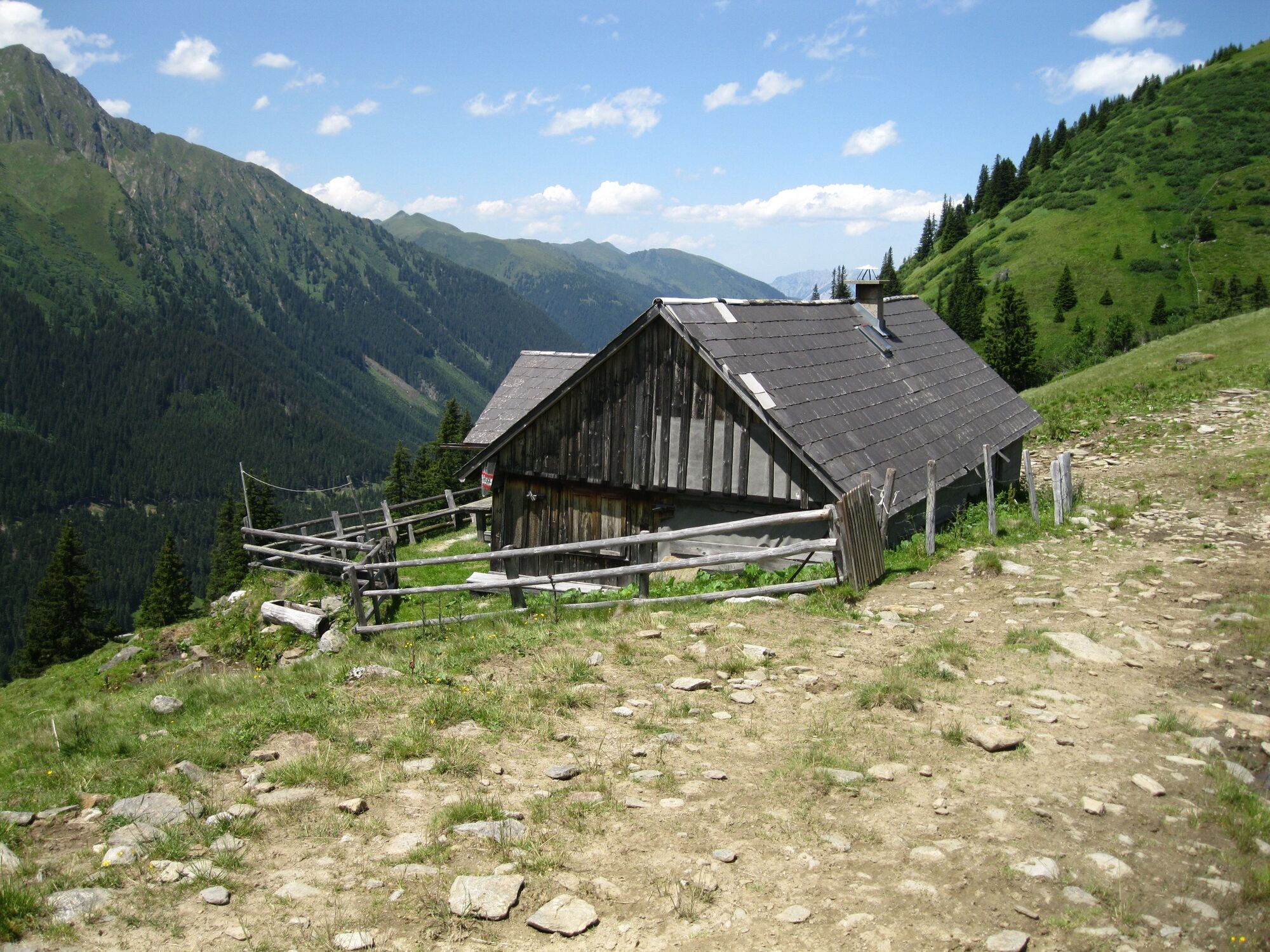
Erzherzog-Johann-Hütte1,2 kmHochstubofen (2.385 m)5,4 kmErzherzog-Johann-Hütte9,5 km
- Paras kausi
-
tammihelmimaalishuhtitoukokesäheinäelosyyslokamarrasjoulu
- Korkein kohta
- 2.359 m
- Kohde
-
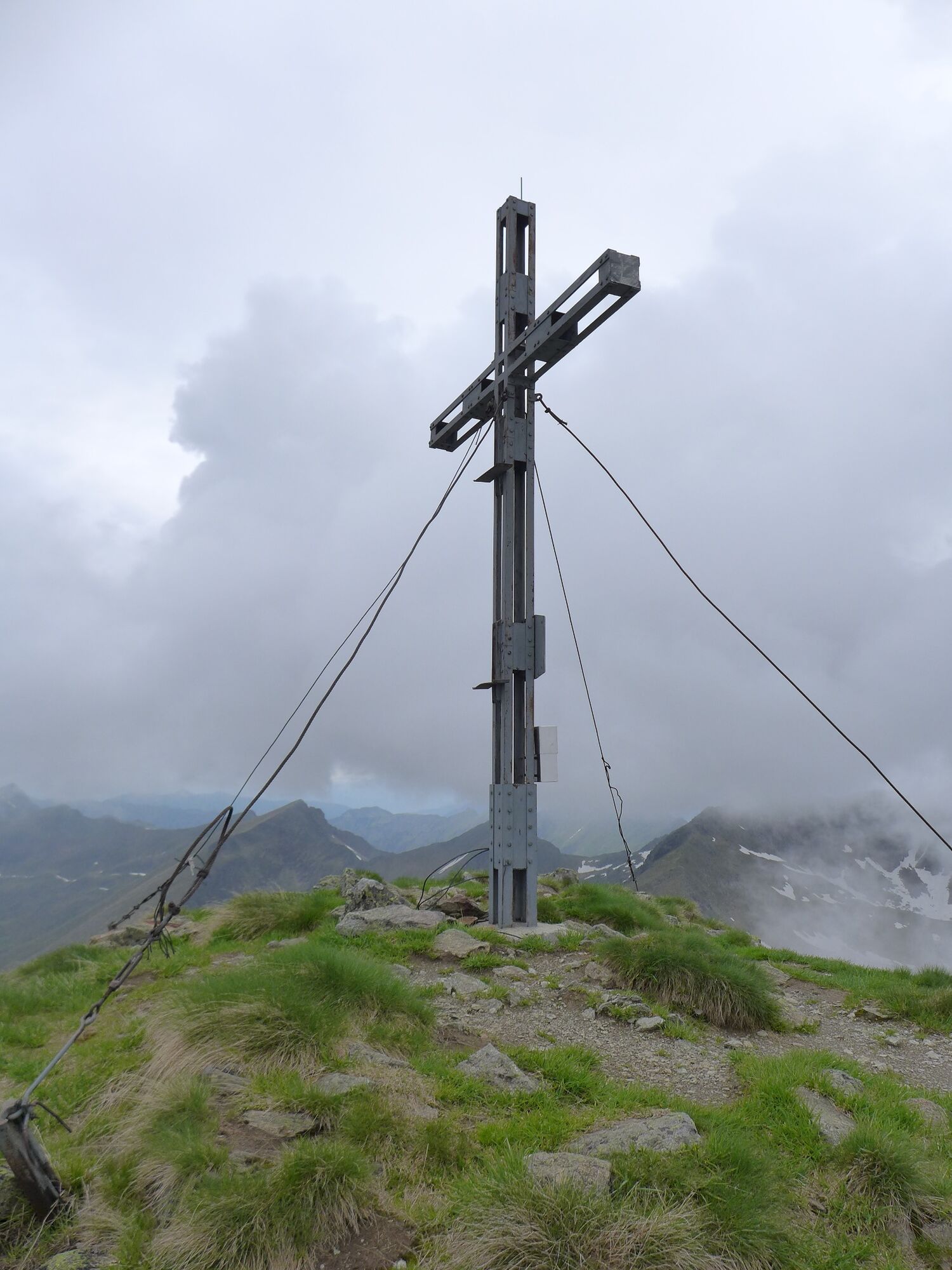
Hochstubofen
- Korkeusprofiili
-


- Kirjoittaja
-
Kiertue From the Erzherzog Johann Hütte to the Hochstubofen käyttää outdooractive.com toimitettu.
GPS Downloads


Yleistä tietoa
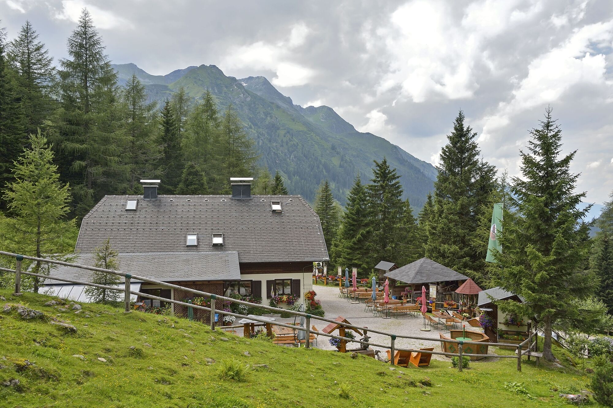
Virvokepysäkki
Flora
Fauna
Lupaava
Lisää retkiä alueilla