

© Tourismusverband ERZBERG LEOBEN - Ludwig Gottsbacher

© Tourismusverband ERZBERG LEOBEN - Markus Köppl

© Tourismusverband ERZBERG LEOBEN - Markus Köppl

© Tourismusverband ERZBERG LEOBEN - Ludwig Gottsbacher


- Lyhyt kuvaus
-
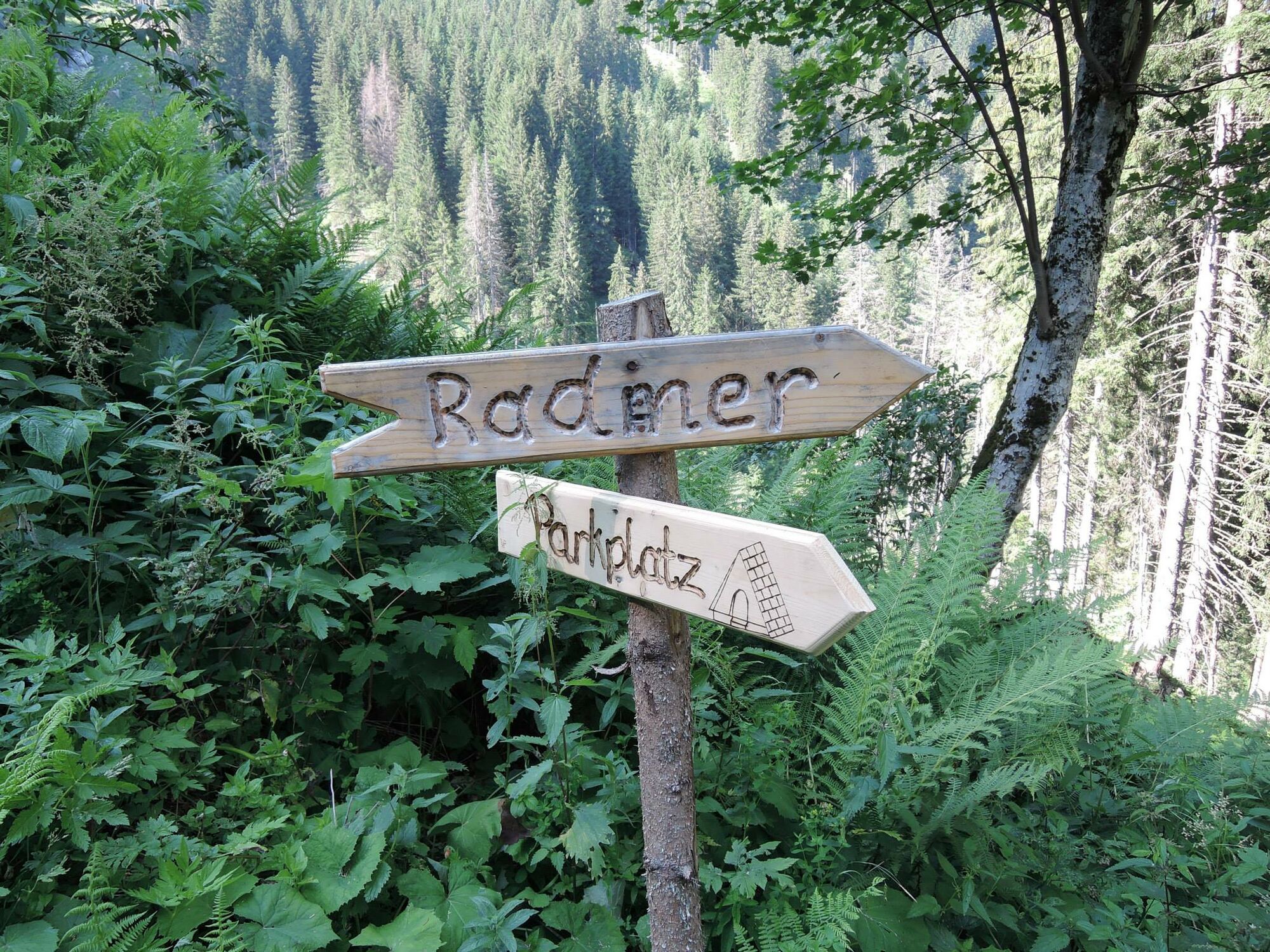
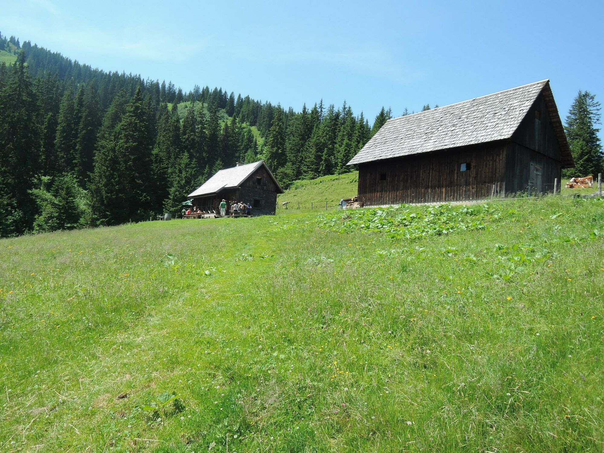
For the alpine pasture hike, the starting point is the copper mine or from the parking lot at the end of the valley in Hinterradmer.
The hiking trail leads along a well-marked forest road and is therefore ideal for families.
The hiker walks on gravel road and forest paths. The hike is located in the ERZBERG LEOBEN region.
- Vaikeus
-
helppo
- Arviointi
-
- Paras kausi
-
tammihelmimaalishuhtitoukokesäheinäelosyyslokamarrasjoulu
- Korkein kohta
- 1.388 m
- Kohde
-
Starting point
- Korkeusprofiili
-


- Kirjoittaja
-
Kiertue Neuburgalm Hike käyttää outdooractive.com toimitettu.
GPS Downloads


Yleistä tietoa
Virvokepysäkki
 & Kaiserschild (rechts)")


")
