© Erlebnisregion Thermen- & Vulkanland - Infobüro Bad Waltersdorf

© Erlebnisregion Thermen- & Vulkanland - Bernhard Bergmann

© Erlebnisregion Thermen- & Vulkanland - Bernhard Bergmann

© Erlebnisregion Thermen- & Vulkanland - Josef Lederer

© Erlebnisregion Thermen- & Vulkanland - Bernhard Bergmann

© Erlebnisregion Thermen- & Vulkanland - Bernhard Bergmann
© Bad Waltersdorf - Thermenland Süd- & Oststeiermark Marketing GmbH
- Lyhyt kuvaus
-
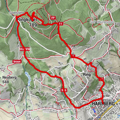
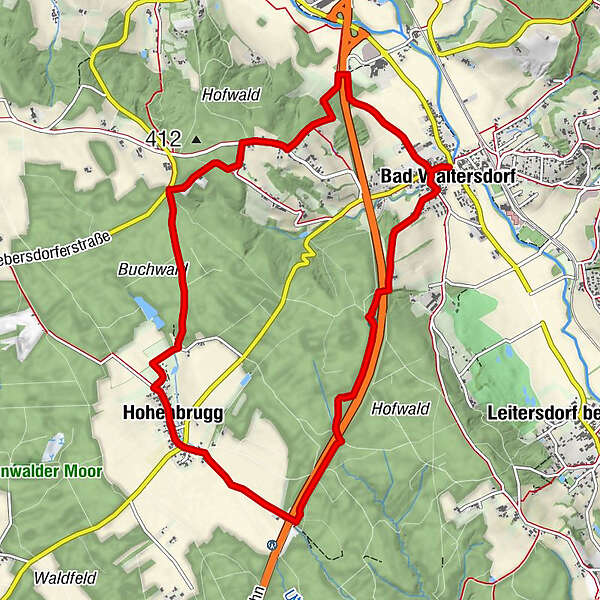
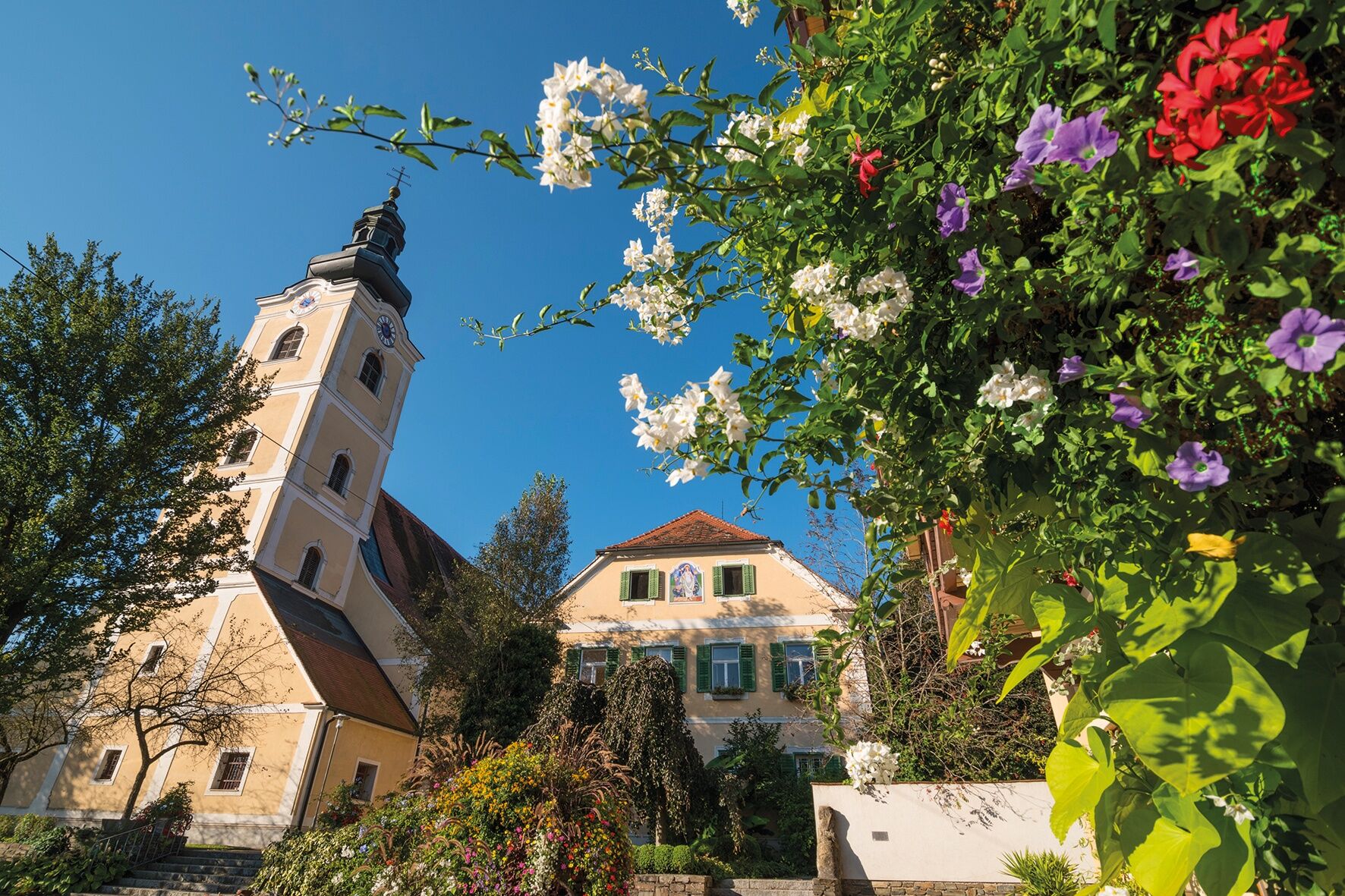
A tour to Hohenbrugg through the woods, along meadows and back to the center of Bad Waltersdorf.
- Vaikeus
-
tapa
- Arviointi
-
- Reitti
-
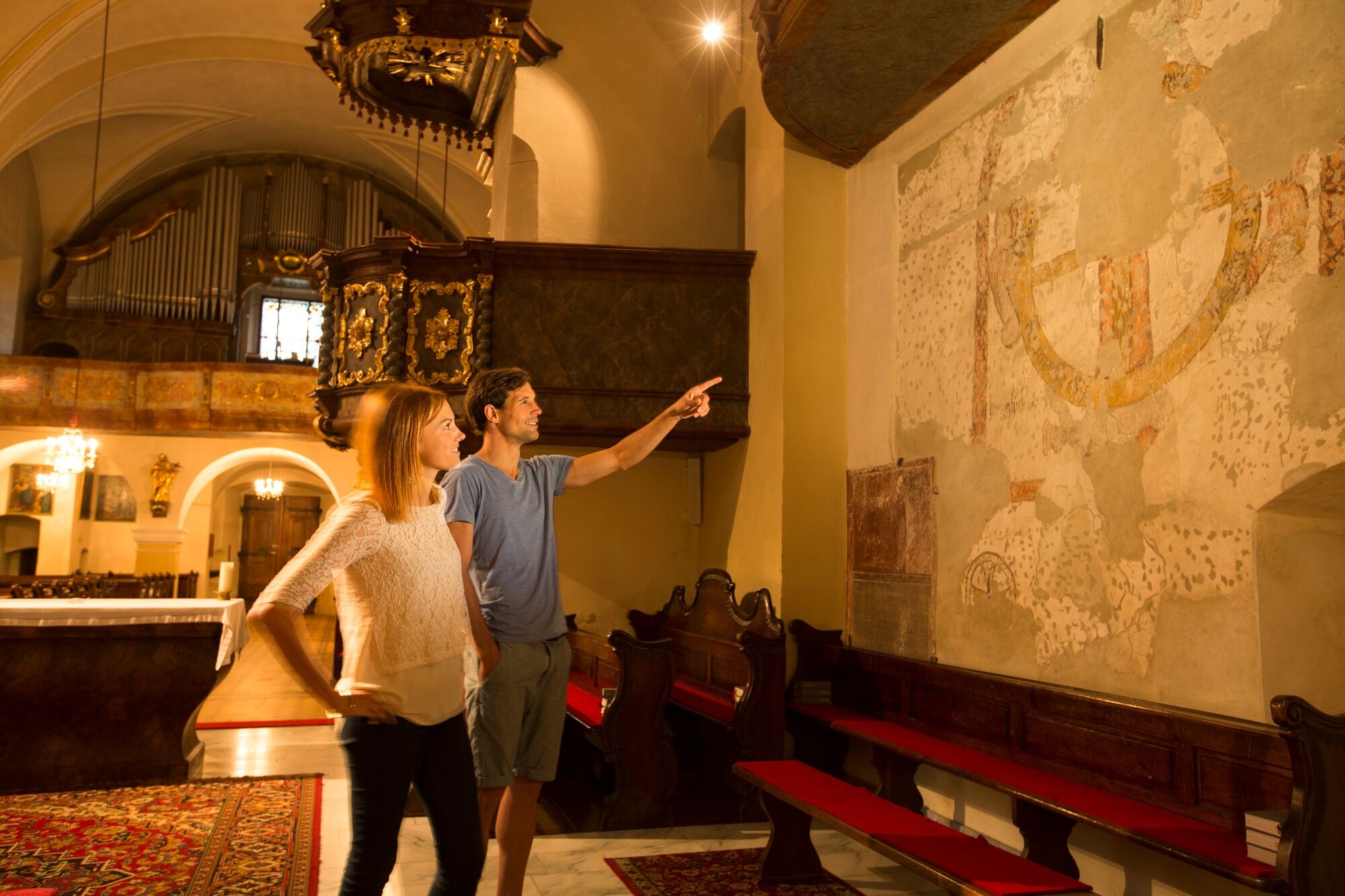
Pfarrkirche hl. Margaretha0,0 kmBad Waltersdorf0,4 kmHohenbrugg5,3 kmOrtskapelle5,3 kmBad Waltersdorf11,4 kmPfarrkirche hl. Margaretha11,4 km
- Paras kausi
-
tammihelmimaalishuhtitoukokesäheinäelosyyslokamarrasjoulu
- Korkein kohta
- 403 m
- Kohde
-
Information Office Bad Waltersdorf
- Korkeusprofiili
-


-

-
KirjoittajaKiertue Hohenbrugger trail (Hohenbruggerweg) käyttää outdooractive.com toimitettu.
GPS Downloads


Yleistä tietoa
Virvokepysäkki
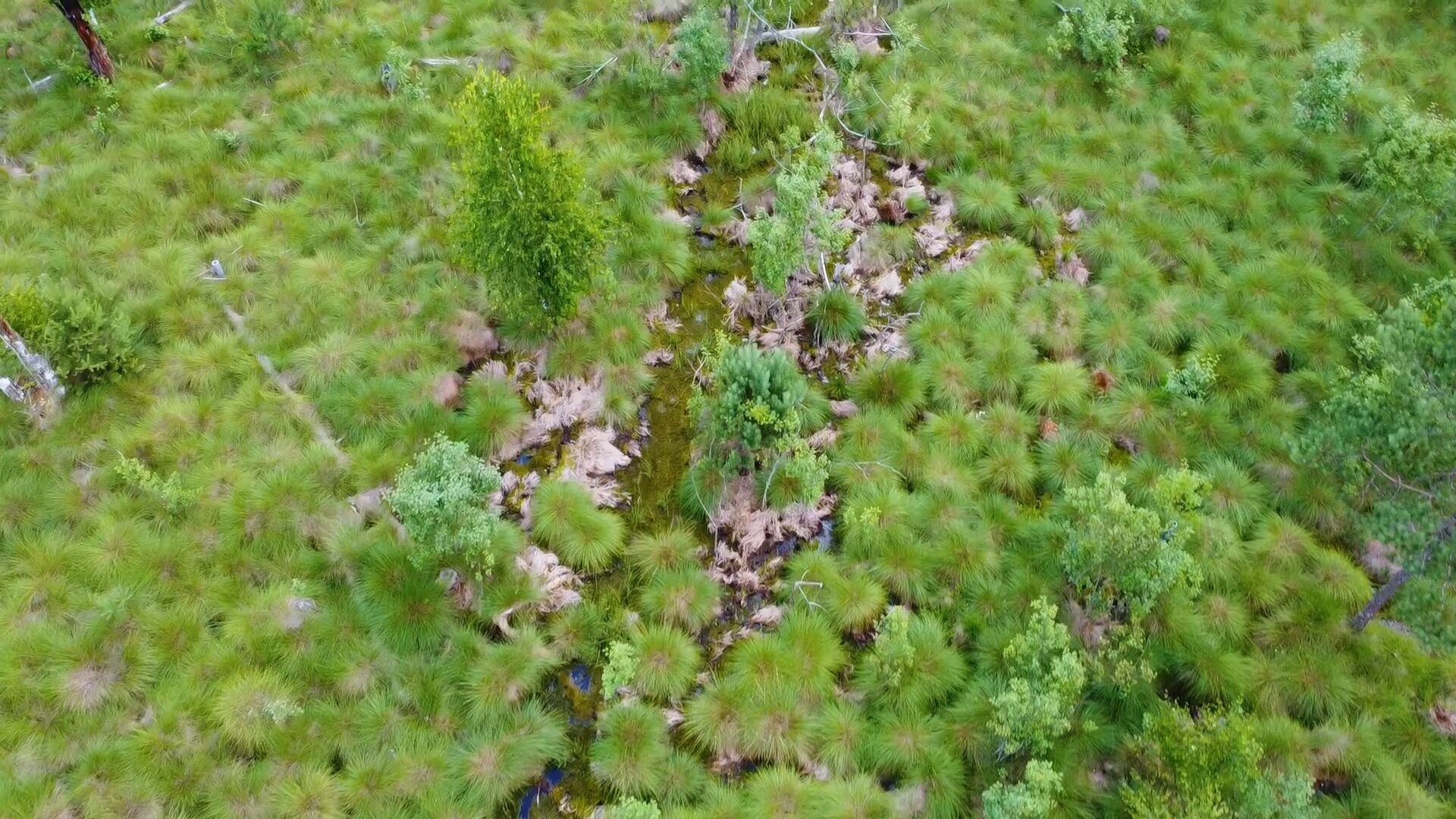
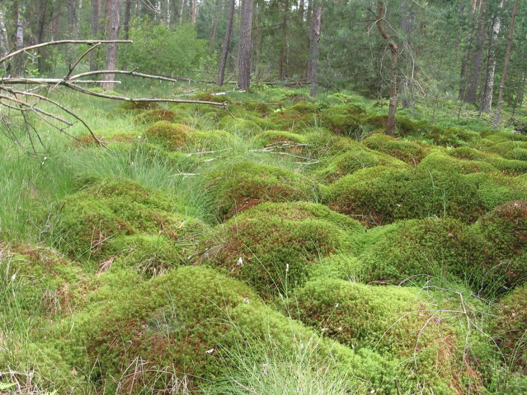
Flora
Lupaava
Lisää retkiä alueilla
-
Thermen- & Vulkanland
1324
-
Bad Waltersdorf
624
-
Bad Waltersdorf
94