© Erlebnisregion Schladming-Dachstein - Schladming Dachstein


© Erlebnisregion Schladming-Dachstein - Zettler Johannes / Zettler IT

© Erlebnisregion Schladming-Dachstein - Zettler Johannes / Zettler IT

© Erlebnisregion Schladming-Dachstein - Zettler Johannes / Zettler IT

© Erlebnisregion Schladming-Dachstein - Zettler Johannes / Zettler IT

© Erlebnisregion Schladming-Dachstein - Zettler Johannes / Zettler IT

© Erlebnisregion Schladming-Dachstein - Zettler Johannes / Zettler IT

© Erlebnisregion Schladming-Dachstein - Zettler Johannes / Zettler IT
- Lyhyt kuvaus
-
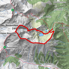
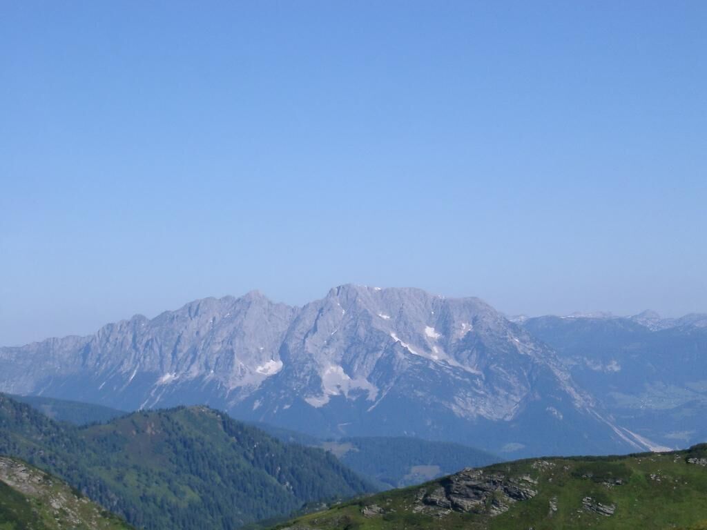
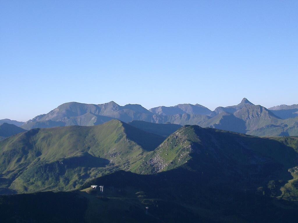
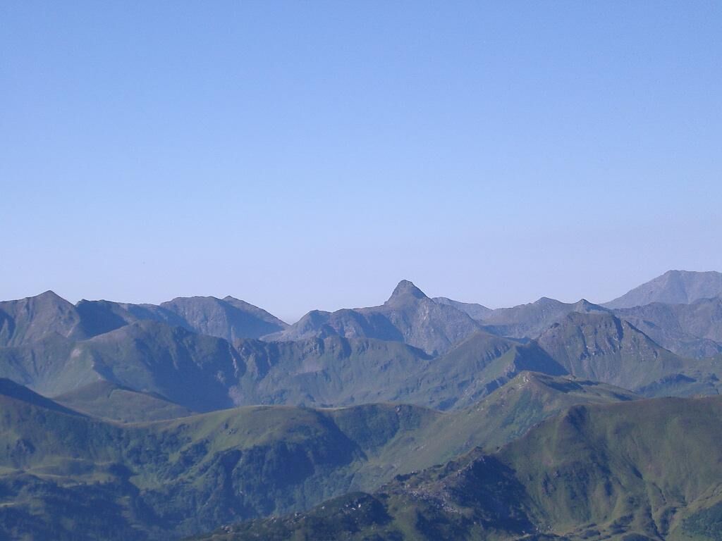
An alpine hike, or more accurately: a narrow, alpine trail, mostly along the ridge, over several peaks on the north-west side of the Plannerkessel.
- Vaikeus
-
tapa
- Arviointi
-
- Reitti
-
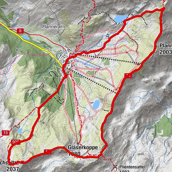
Bergrettungshütte0,0 kmPlannereck (2.003 m)2,4 kmKleiner Rotbühel (1.912 m)3,6 kmGroßer Rotbühel (2.019 m)4,4 kmGläserkoppe (1.980 m)5,0 kmJochspitze (2.037 m)5,8 kmGoldbachscharte (1.960 m)6,0 kmBergrettungshütte8,1 km
- Paras kausi
-
tammihelmimaalishuhtitoukokesäheinäelosyyslokamarrasjoulu
- Korkein kohta
- 2.001 m
- Kohde
-
parking area Planneralm
- Korkeusprofiili
-


- Kirjoittaja
-
Kiertue Ridge Hike - high above the Planneralm - 1.588m käyttää outdooractive.com toimitettu.
GPS Downloads


Yleistä tietoa
Virvokepysäkki
Flora
Fauna
Lupaava
Lisää retkiä alueilla