© Erlebnisregion Schladming-Dachstein - Christoph Lukas

© Fotograf: Volkhard Maier - Schladming Dachstein

© Erlebnisregion Schladming-Dachstein - Christoph Lukas

© Fotograf: Volkhard Maier - Schladming Dachstein

© Fotograf: Volkhard Maier - Schladming Dachstein

© Gerhard Pilz

© Erlebnisregion Schladming-Dachstein - Christoph Lukas

© Fotograf: Volkhard Maier - Schladming Dachstein

© Erlebnisregion Schladming-Dachstein - Christoph Lukas

© Fotograf: Volkhard Maier - Schladming Dachstein

- Lyhyt kuvaus
-
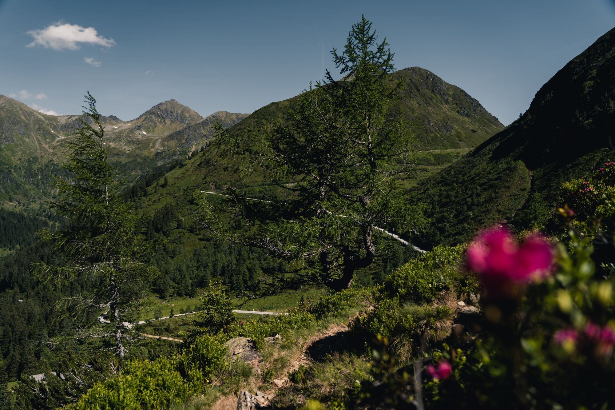
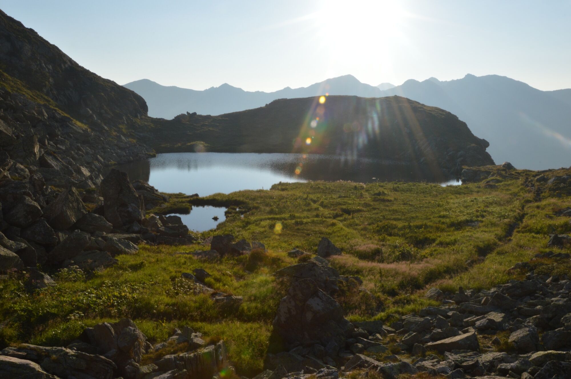
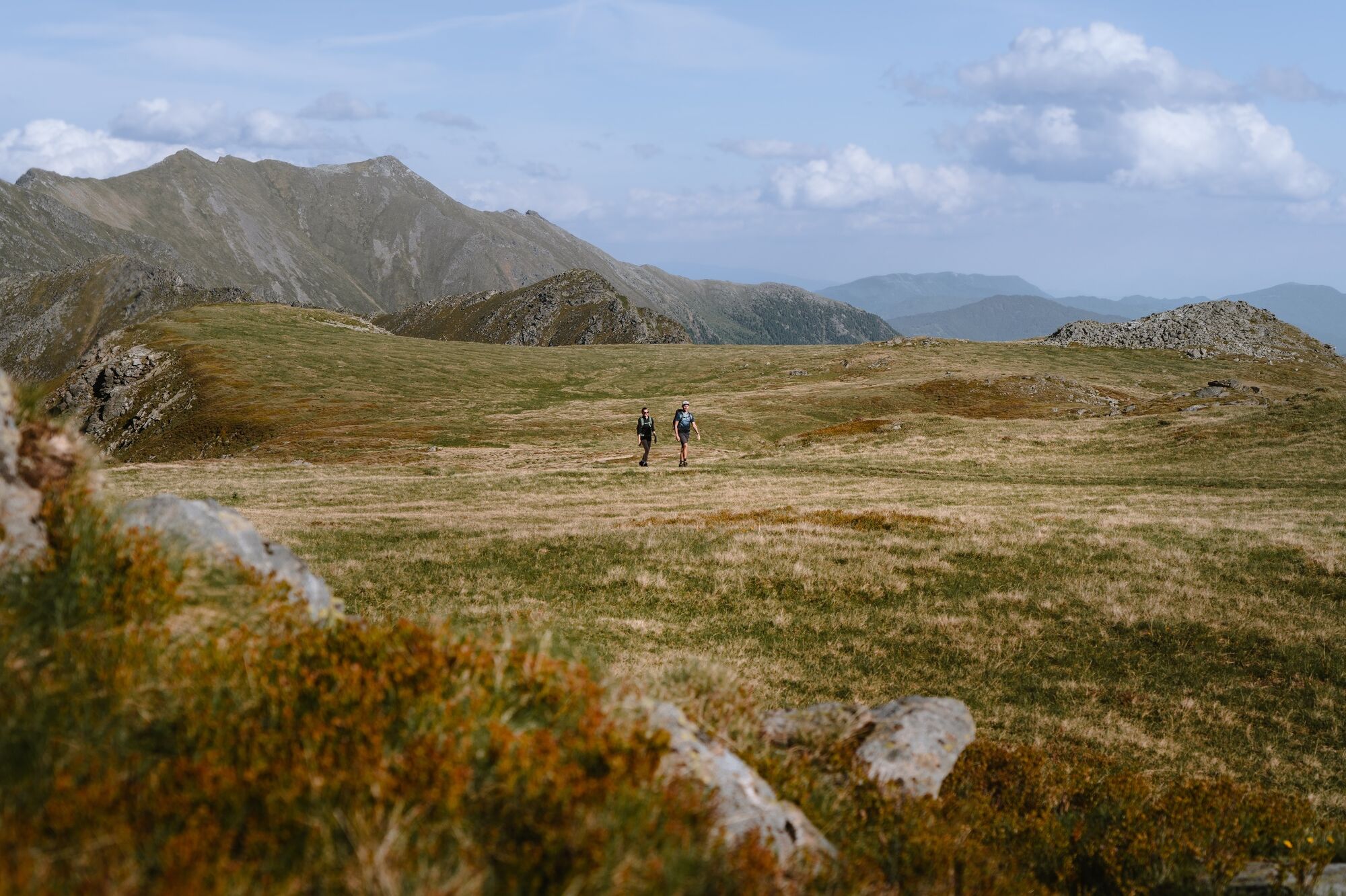
Steep paths, beautiful lakes and a full-blooded peak – intermediate-level alpine tours don’t get any more fun than this.
- Vaikeus
-
tapa
- Arviointi
-
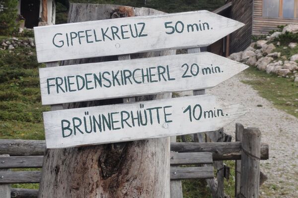
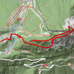
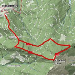
- Reitti
-
Schafspitze (2.310 m)3,1 kmDeneck (2.433 m)3,7 km
- Paras kausi
-
tammihelmimaalishuhtitoukokesäheinäelosyyslokamarrasjoulu
- Korkein kohta
- 2.418 m
- Kohde
-
Deneck
- Korkeusprofiili
-


- Kirjoittaja
-
Kiertue Via the Kaltenbachseen to the Deneck käyttää outdooractive.com toimitettu.
GPS Downloads


Yleistä tietoa
Virvokepysäkki
Flora
Fauna
Lupaava
Lisää retkiä alueilla