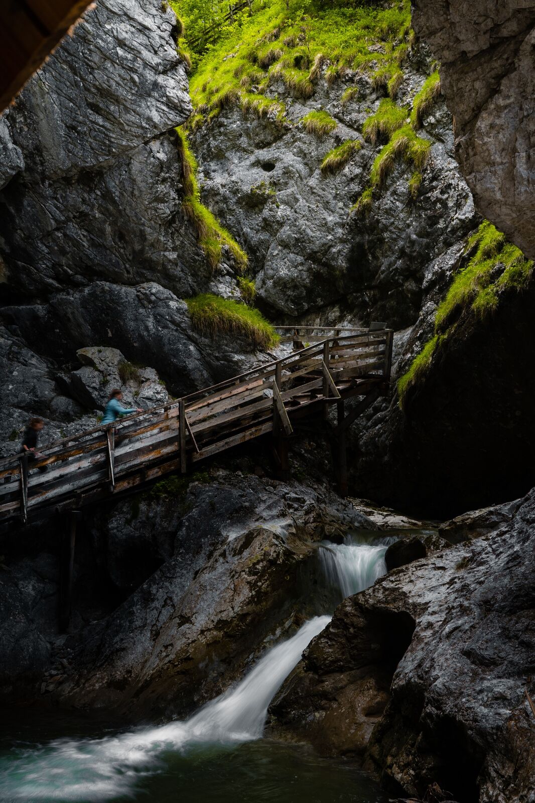
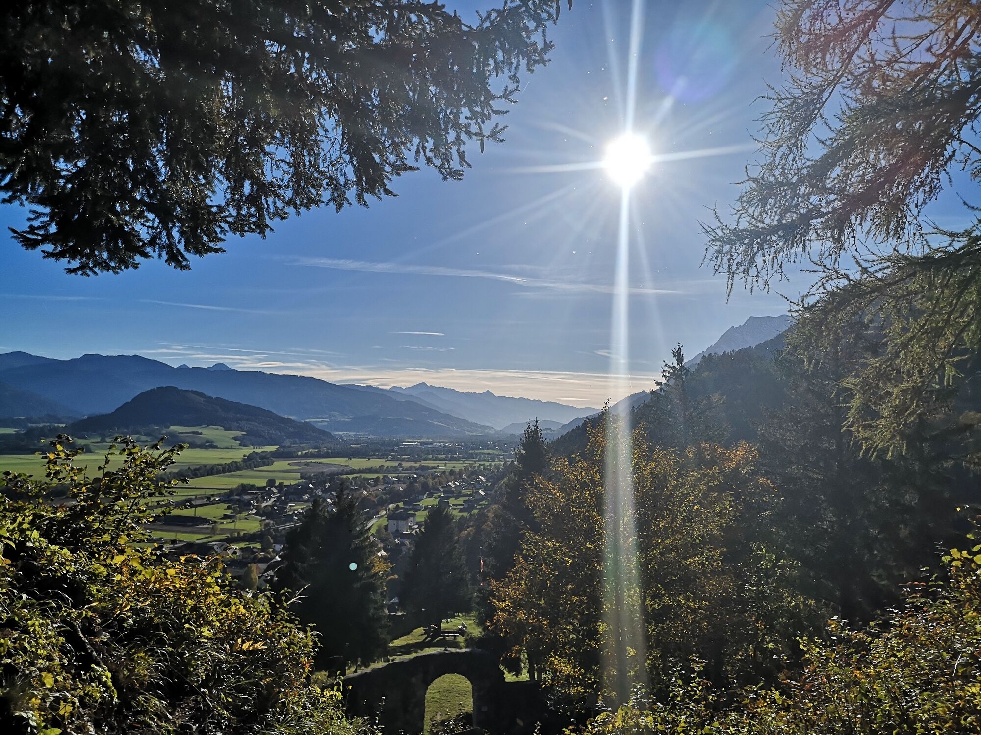
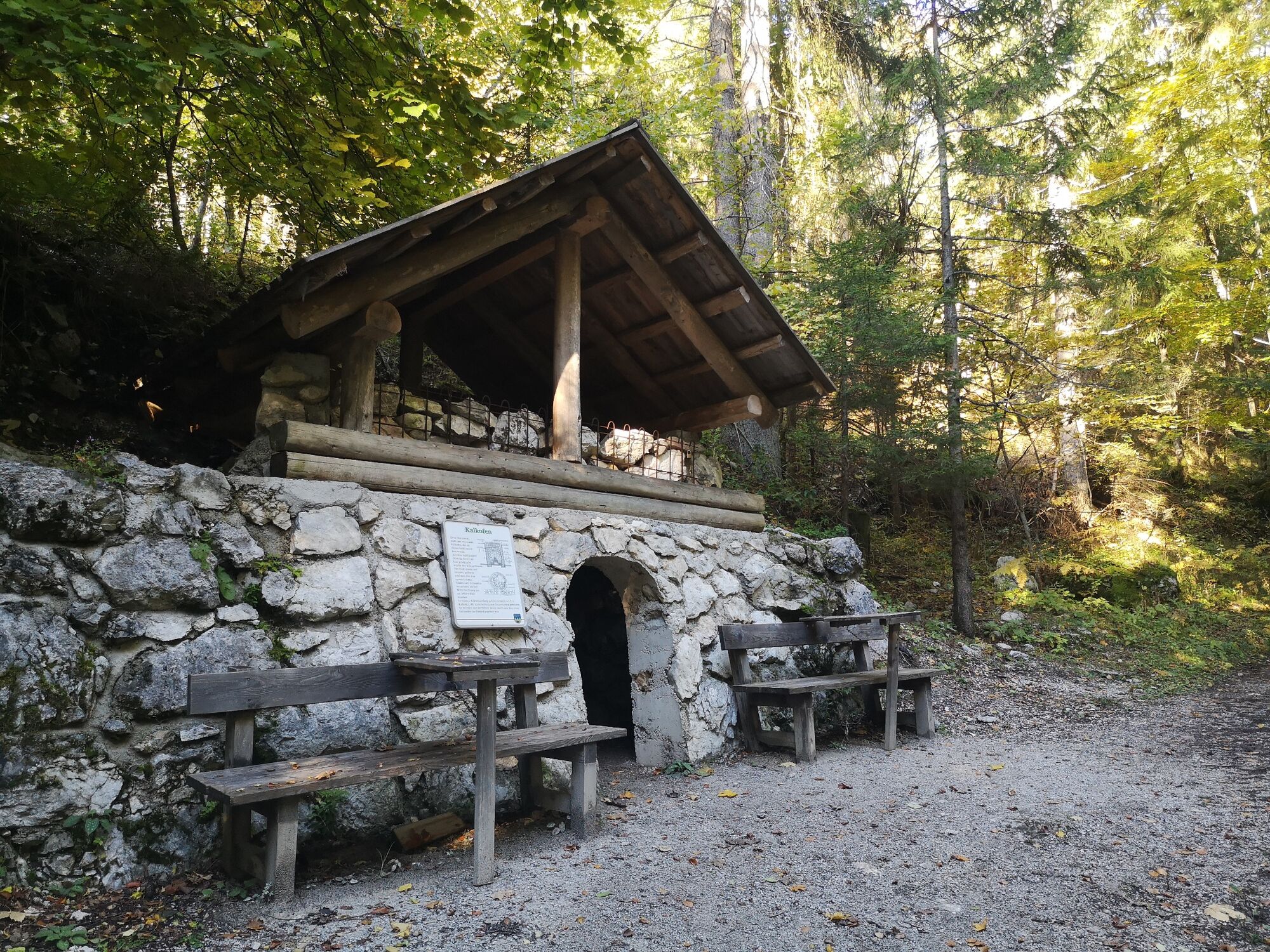
Hike through the Wörschachklamm gorge to the Wolkenstein castle ruins


© Erlebnisregion Schladming-Dachstein - Armin Walcher

© Erlebnisregion Schladming-Dachstein - Christoph Lukas

© Erlebnisregion Schladming-Dachstein - Christoph Lukas

© Erlebnisregion Schladming-Dachstein - Tanja Kerschbaumer

© Erlebnisregion Schladming-Dachstein - Tanja Kerschbaumer

© Erlebnisregion Schladming-Dachstein - Tanja Kerschbaumer

- Lyhyt kuvaus
-
A varied hike with thundering water, historic walls and animal acquaintances. This tour should be on your to-do list!
- Vaikeus
-
helppo
- Arviointi
-
- Reitti
-
WörschachKlammstüberl0,4 kmEselhütte3,4 kmWörschach3,8 km
- Paras kausi
-
tammihelmimaalishuhtitoukokesäheinäelosyyslokamarrasjoulu
- Korkein kohta
- 904 m
- Kohde
-
Parking Wörschachklamm
- Korkeusprofiili
-


- Kirjoittaja
-
Kiertue Hike through the Wörschachklamm gorge to the Wolkenstein castle ruins käyttää outdooractive.com toimitettu.
GPS Downloads


Yleistä tietoa
Virvokepysäkki
Kulttuuri/Historiallinen
Flora
Fauna
Lupaava
Lisää retkiä alueilla


