© Region Graz - Rene Kailbauer

© Region Graz - Gemeinde St. Martin/Wöllmissberg

© Region Graz - TV Lipizzanerheimat_MR

© Region Graz - Rene Kailbauer

© Region Graz - Gemeinde St. Martin/Wöllmissberg
- Lyhyt kuvaus
-
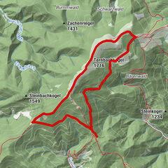
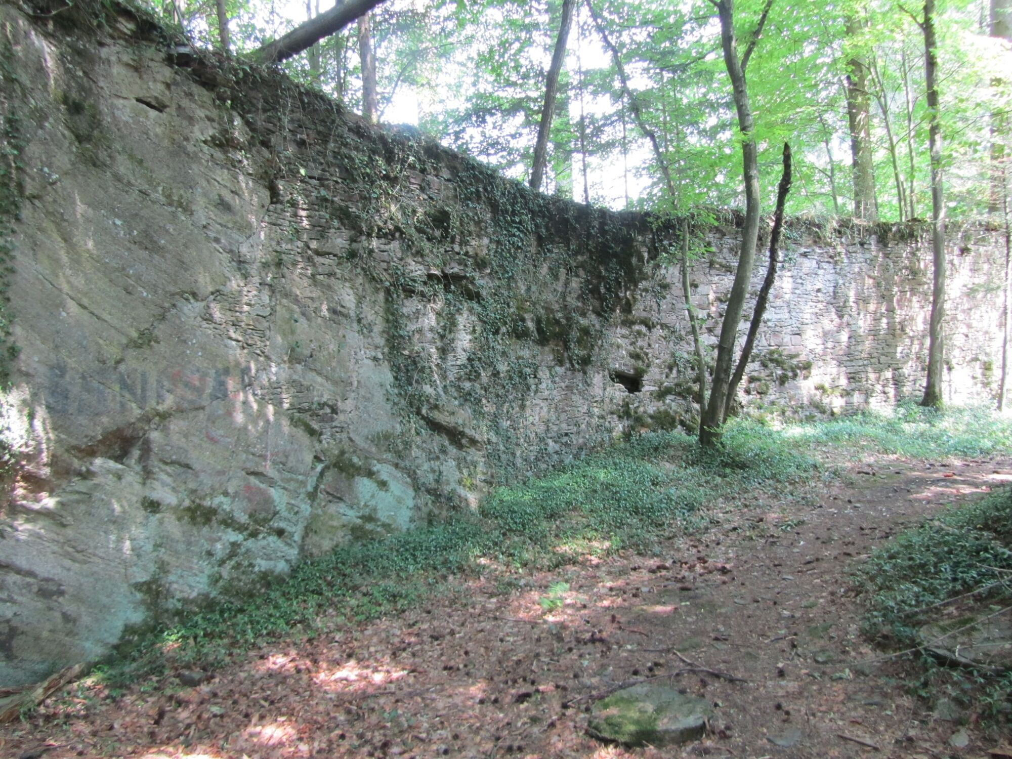
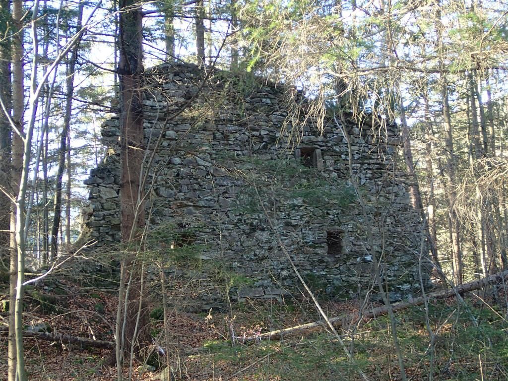
Entdecken wir Relikte und Ruinen aus der vergangenen Zeit. Die Wöllmissberger Ruinen-Runde lässt uns zum Zeugen der Vergangenheit werden.
- Vaikeus
-
tapa
- Arviointi
-
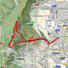
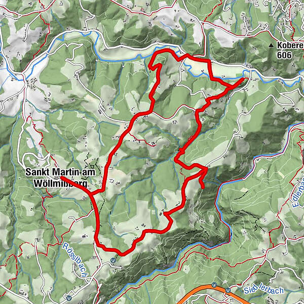
- Reitti
-
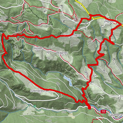
St. MartinerhofSankt Martin am WöllmißbergPfarrkirche hl. MartinRieglerkapelle0,1 kmWegkapelle0,3 kmWendlkapelle1,9 kmTischlerweber-Kapelle9,4 kmBuschenschank Formeier10,1 kmWegkapelle13,5 kmRieglerkapelle13,8 kmSt. Martinerhof13,9 kmSankt Martin am Wöllmißberg14,0 kmPfarrkirche hl. Martin14,0 km
- Paras kausi
-
tammihelmimaalishuhtitoukokesäheinäelosyyslokamarrasjoulu
- Korkein kohta
- 775 m
- Kohde
-
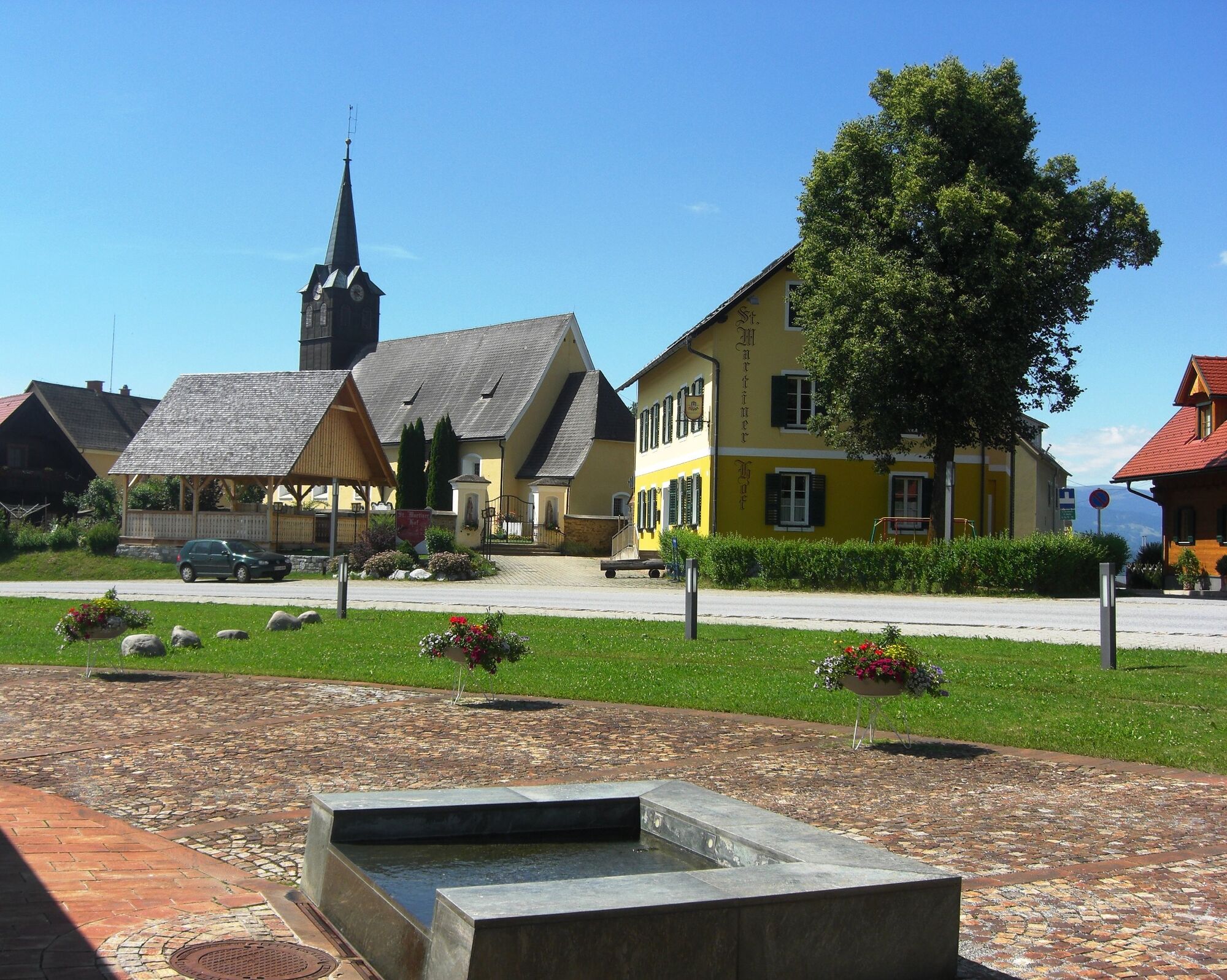
St. Martin am Wöllmißberg, Kirche
- Korkeusprofiili
-


-

-
KirjoittajaKiertue Wöllmißberger Ruinen-Runde käyttää outdooractive.com toimitettu.
GPS Downloads


Yleistä tietoa
Virvokepysäkki
Kulttuuri/Historiallinen
Lisää retkiä alueilla