© TV Hochsteiermark - Podbressnik

© TV Hochsteiermark - Podbressnik

© TV Hochsteiermark - Podbressnik

- Lyhyt kuvaus
-
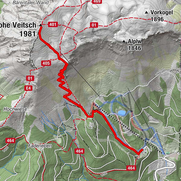
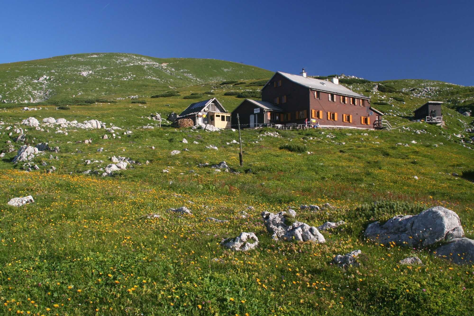
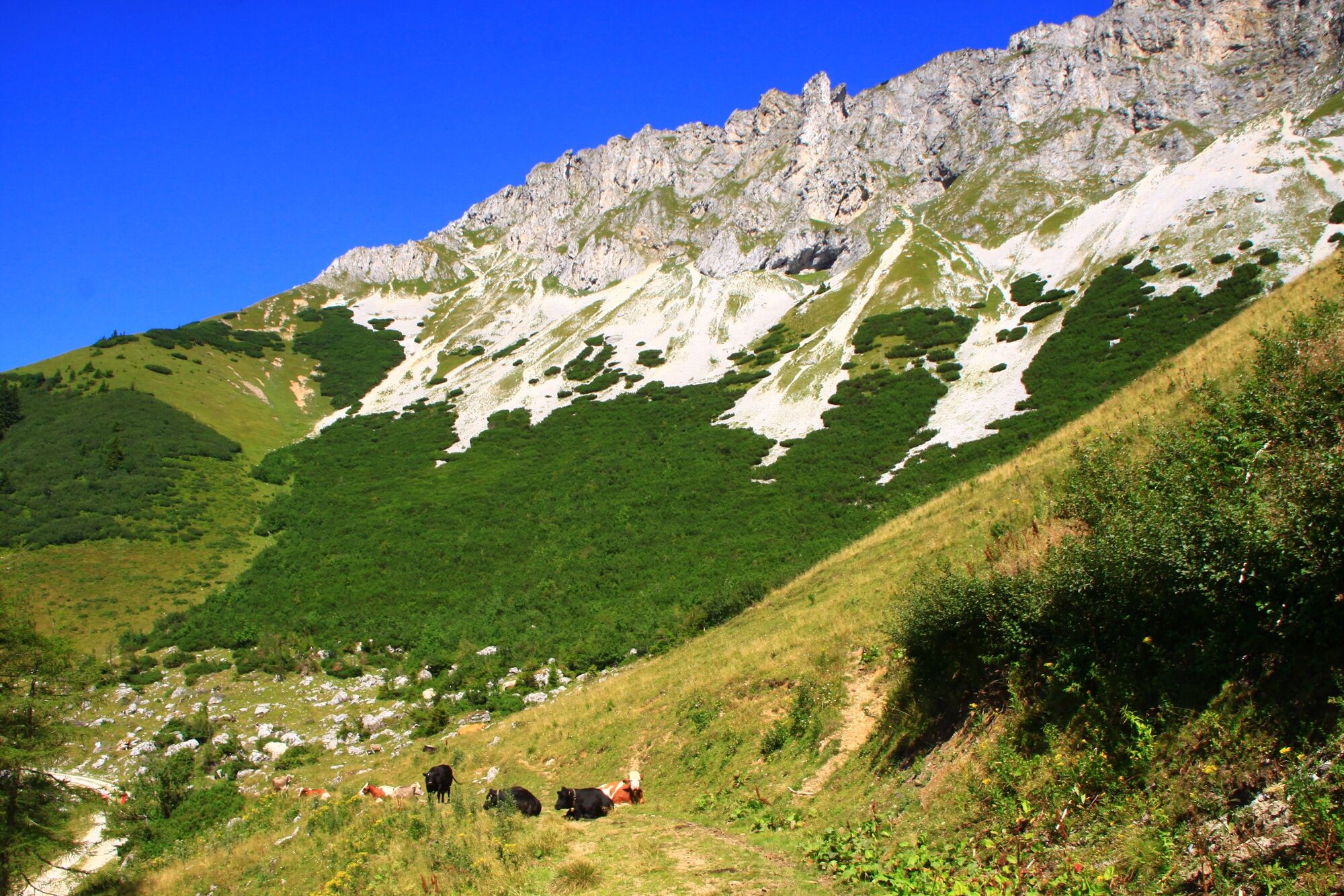
The area of the Hohe Veisch is considered a hiking and ski touring paradise. Countless hiking tours lead to the plateau of this mountain massif - here the most famous route from the Brunnalm via the serpentine path to the Graf Meran Haus and on to the summit of the Hohe Veitsch.
ATTENTION.
When planning and carrying out a ski or snowshoe tour, please always pay attention to the current avalanche situation report of the corresponding region.
- Vaikeus
-
tapa
- Arviointi
-
- Reitti
-
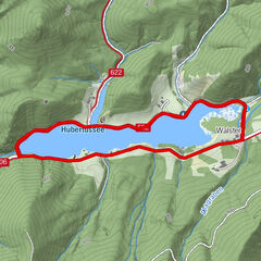
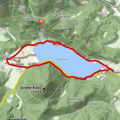
Alpengasthof Scheikl0,0 kmGraf Meran Haus2,8 kmHohe Veitsch (1.981 m)3,4 kmAlpengasthof Scheikl6,7 km
- Paras kausi
-
tammihelmimaalishuhtitoukokesäheinäelosyyslokamarrasjoulu
- Korkein kohta
- 1.954 m
- Kohde
-
Gipfel der Hohen Veitsch
- Korkeusprofiili
-

- Kirjoittaja
-
Kiertue Auf den Gipfel der Hohen Veitsch käyttää outdooractive.com toimitettu.
GPS Downloads


Yleistä tietoa
Virvokepysäkki
Fauna
Lupaava
Lisää retkiä alueilla
-
Hochsteiermark
4060
-
Pogusch - Steirische Romantik
1530
-
Mürzsteg
360