Summit Tour to the Emblem of the Planneralm - the Schoberspitz


© Erlebnisregion Schladming-Dachstein - Barbara Luidold

© Erlebnisregion Schladming-Dachstein - Barbara Luidold

© Erlebnisregion Schladming-Dachstein - Barbara Luidold

- Lyhyt kuvaus
-
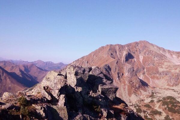
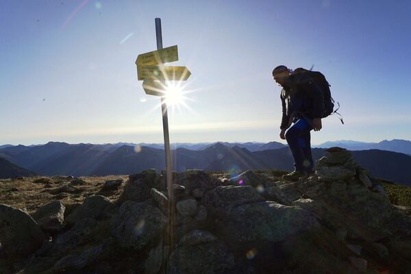
Beautiful, non-difficult summit tour over the Karlspitze to the elegant Schoberspitz.
- Vaikeus
-
tapa
- Arviointi
-
- Reitti
-
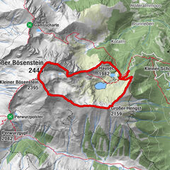
Karlspitze (2.097 m)2,9 kmKarlscharte3,3 kmSchoberspitze (2.126 m)4,2 kmKarlspitze (2.097 m)5,5 km
- Paras kausi
-
tammihelmimaalishuhtitoukokesäheinäelosyyslokamarrasjoulu
- Korkein kohta
- 2.110 m
- Kohde
-
Parkplace Planneralm-at the lift terminal
- Korkeusprofiili
-


- Kirjoittaja
-
Kiertue Summit Tour to the Emblem of the Planneralm - the Schoberspitz käyttää outdooractive.com toimitettu.
GPS Downloads


Yleistä tietoa
Virvokepysäkki
Flora
Fauna
Lupaava
Lisää retkiä alueilla