

© Erlebnisregion Schladming-Dachstein - Schladming Dachstein

© Erlebnisregion Schladming-Dachstein - Schladming Dachstein

© Erlebnisregion Schladming-Dachstein - Schladming Dachstein

© Erlebnisregion Schladming-Dachstein - Schladming Dachstein

- Lyhyt kuvaus
-
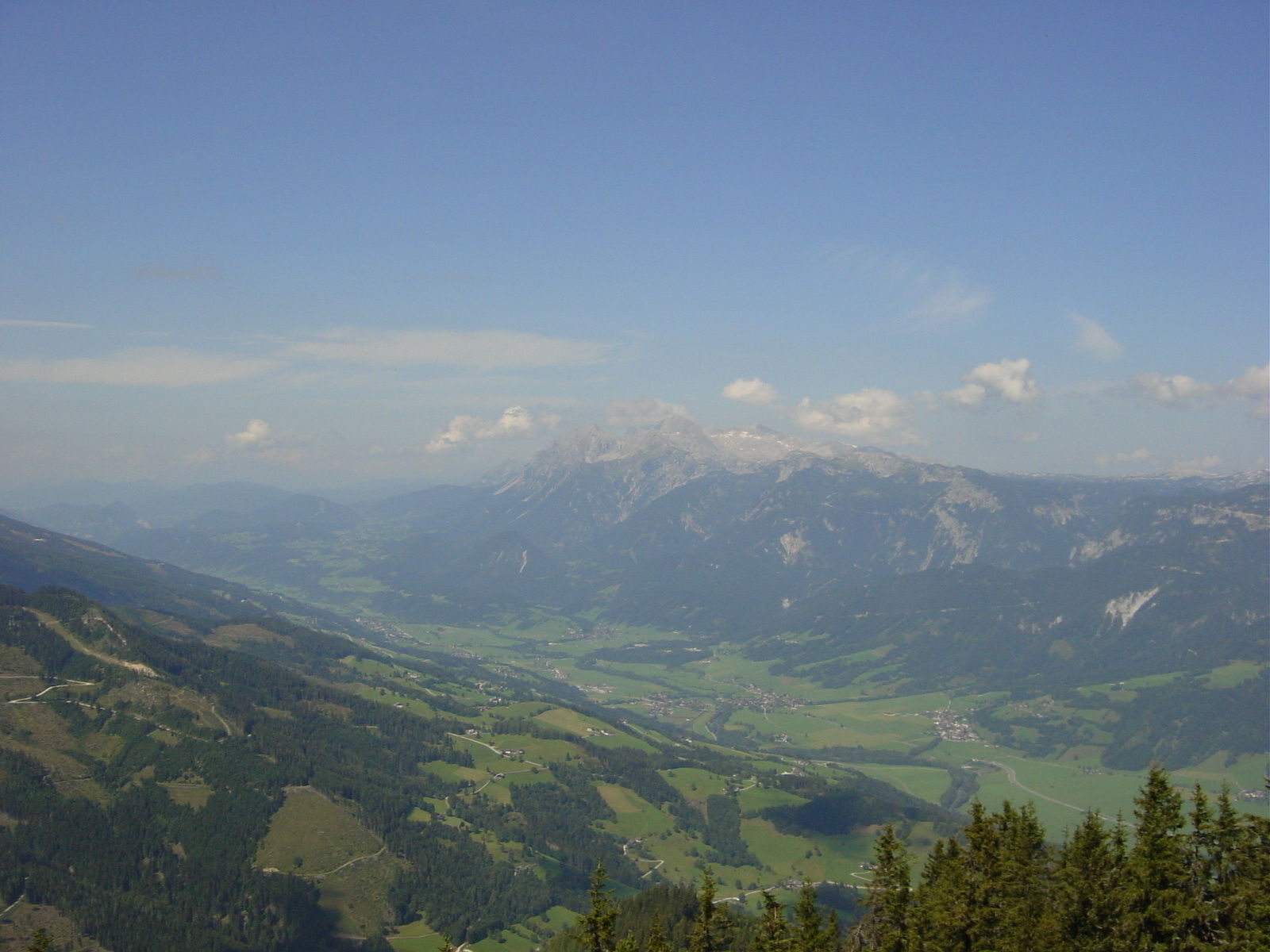
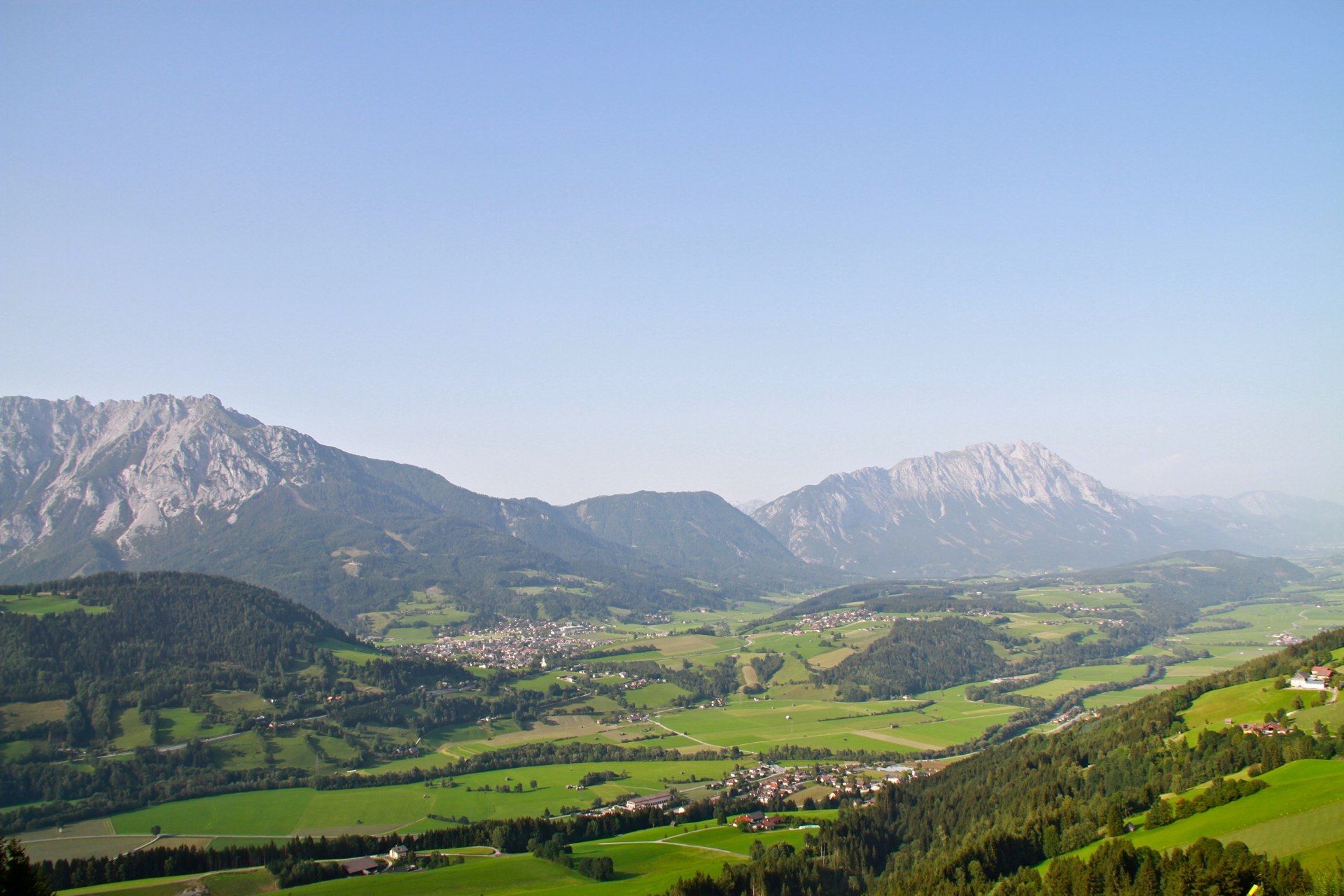
A steep forest climb leads to a scenic summit
- Vaikeus
-
tapa
- Arviointi
-
- Reitti
-
MichaelerbergKochofen (1.916 m)3,9 kmLoskögerl (1.548 m)5,1 kmMichaelerberghaus6,7 kmMichaelerberg6,8 km
- Paras kausi
-
tammihelmimaalishuhtitoukokesäheinäelosyyslokamarrasjoulu
- Korkein kohta
- 1.889 m
- Kohde
-
Kochofen
- Korkeusprofiili
-


- Kirjoittaja
-
Kiertue From the Michaelerberghaus up to the Kochofen käyttää outdooractive.com toimitettu.
GPS Downloads


Yleistä tietoa
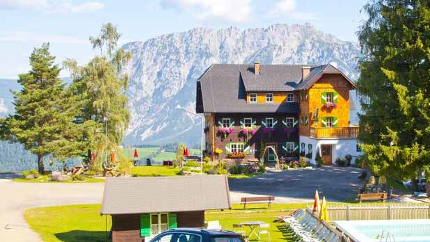
Virvokepysäkki
Flora
Fauna
Lupaava
Lisää retkiä alueilla
-
Schladming - Dachstein
3002
-
Gröbminger Land
1196
-
Michaelerberg-Pruggern
238


