- Lyhyt kuvaus
-
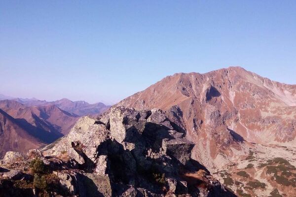
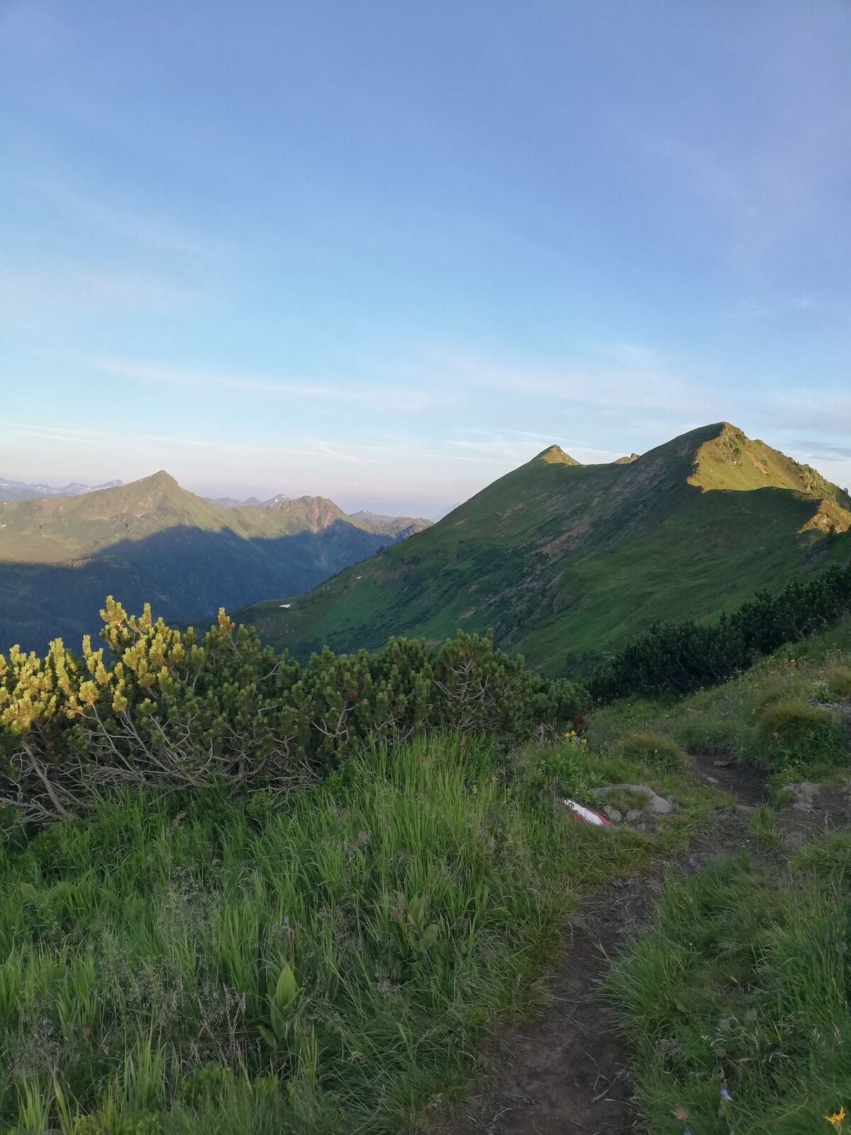
Impressive half-day tour in the highest mountain village of Styria.
- Vaikeus
-
tapa
- Arviointi
-
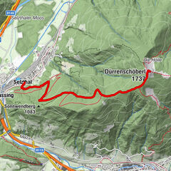
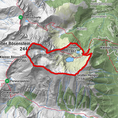
- Reitti
-
Bergrettungshütte0,0 kmHochrettelstein (2.220 m)3,7 kmBergrettungshütte7,3 km
- Paras kausi
-
tammihelmimaalishuhtitoukokesäheinäelosyyslokamarrasjoulu
- Korkein kohta
- 2.199 m
- Kohde
-
Planneralm
- Korkeusprofiili
-


-

-
KirjoittajaKiertue Via Plannersee and Plannerknot to the Hochrettelstein käyttää outdooractive.com toimitettu.
GPS Downloads


Yleistä tietoa
Flora
Lupaava
Lisää retkiä alueilla