© Stadtgemeinde Voitsberg - Die Abbildere, Dieter Sajovic

© Stadtgemeinde Voitsberg - Dieter Sajovic

© Stadtgemeinde Voitsberg - Dieter Sajovic

© Stadtgemeinde Voitsberg - Dieter Sajovic

© Abbilderei - Dieter Sajovic

© Abbilderei - Dieter Sajovic

© Region Graz - Gerhard Langusch

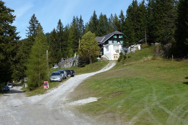
© Region Graz - Tourismusverband Lipizzanerheimat

© Stadtgemeinde Voitsberg - Dieter Sajovic

© Region Graz - TV Lipizzanerheimat_EU
- Lyhyt kuvaus
-
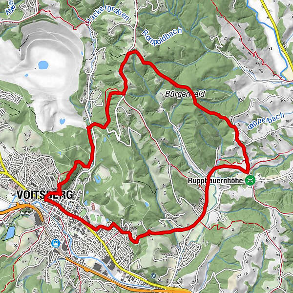
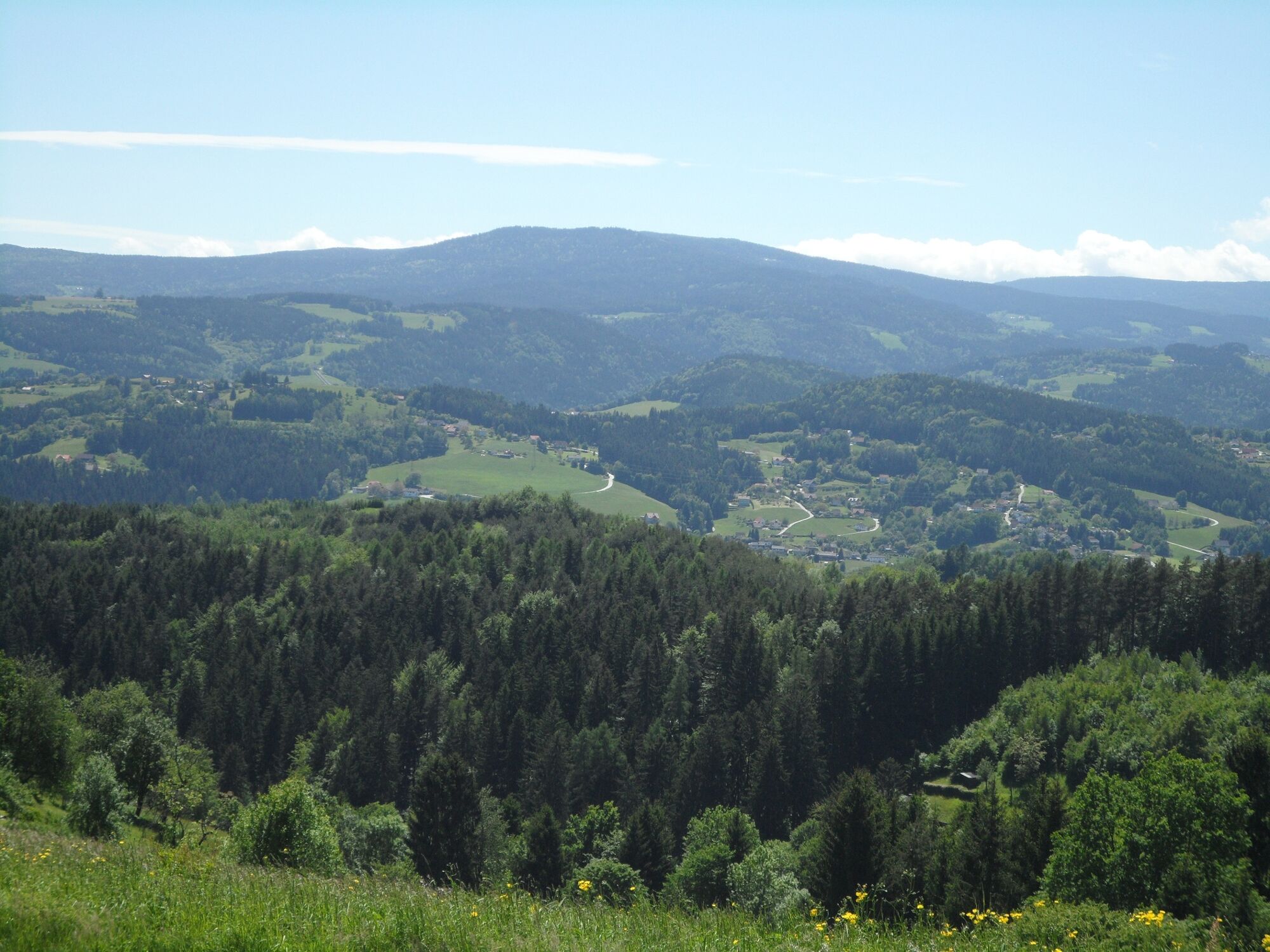
We can get to know the sunny side of the town of Voitsberg on this hike, which takes us from the town center to the rural areas up to the municipal border with Stallhofen.
- Vaikeus
-
tapa
- Arviointi
-
- Reitti
-
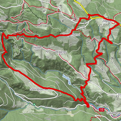
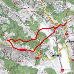
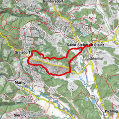
Voitsberg0,0 kmSchneiderwirt3,9 kmLobming9,1 kmGasthaus Toni Peter9,2 kmStitz-Bildstock11,1 kmVoitsberg12,7 km
- Paras kausi
-
tammihelmimaalishuhtitoukokesäheinäelosyyslokamarrasjoulu
- Korkein kohta
- 590 m
- Kohde
-
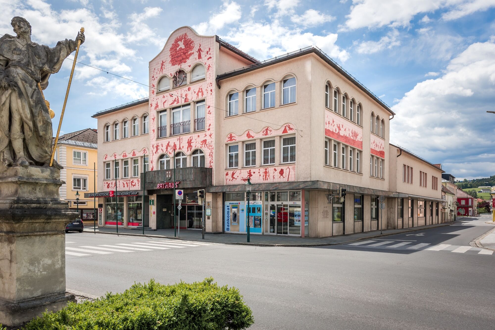
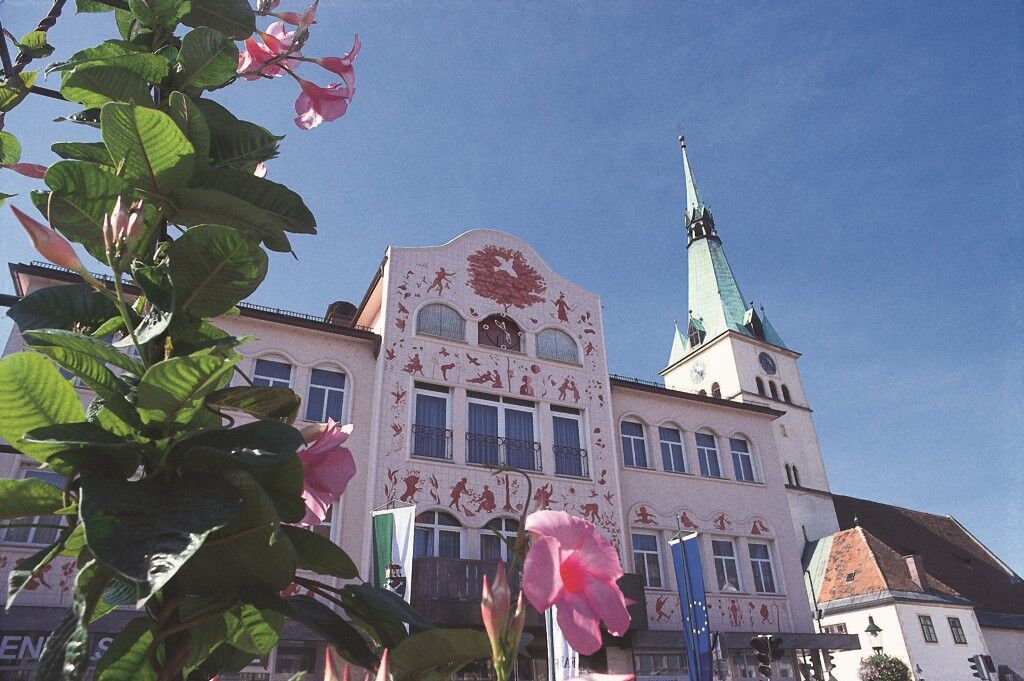
Voitsberg, Arik Brauer Town Hall
- Korkeusprofiili
-


-

-
KirjoittajaKiertue On the sunny side of Voitsberg käyttää outdooractive.com toimitettu.
GPS Downloads


Yleistä tietoa
Virvokepysäkki
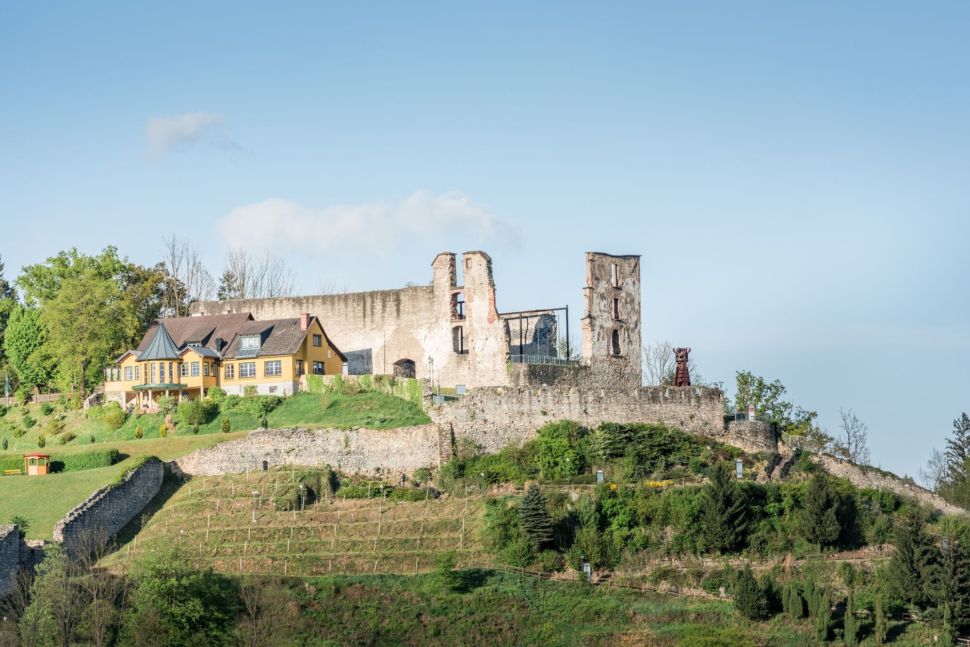
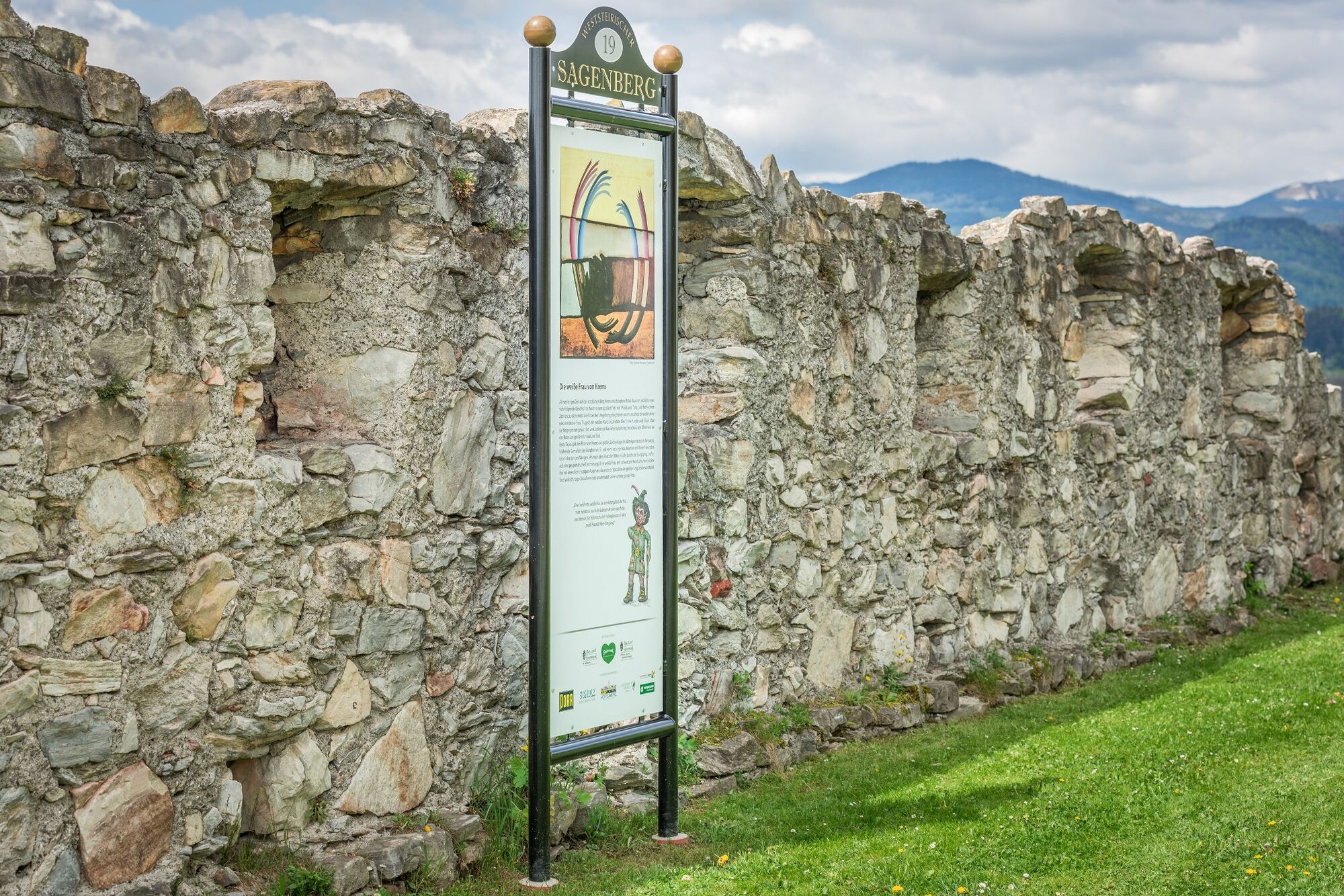
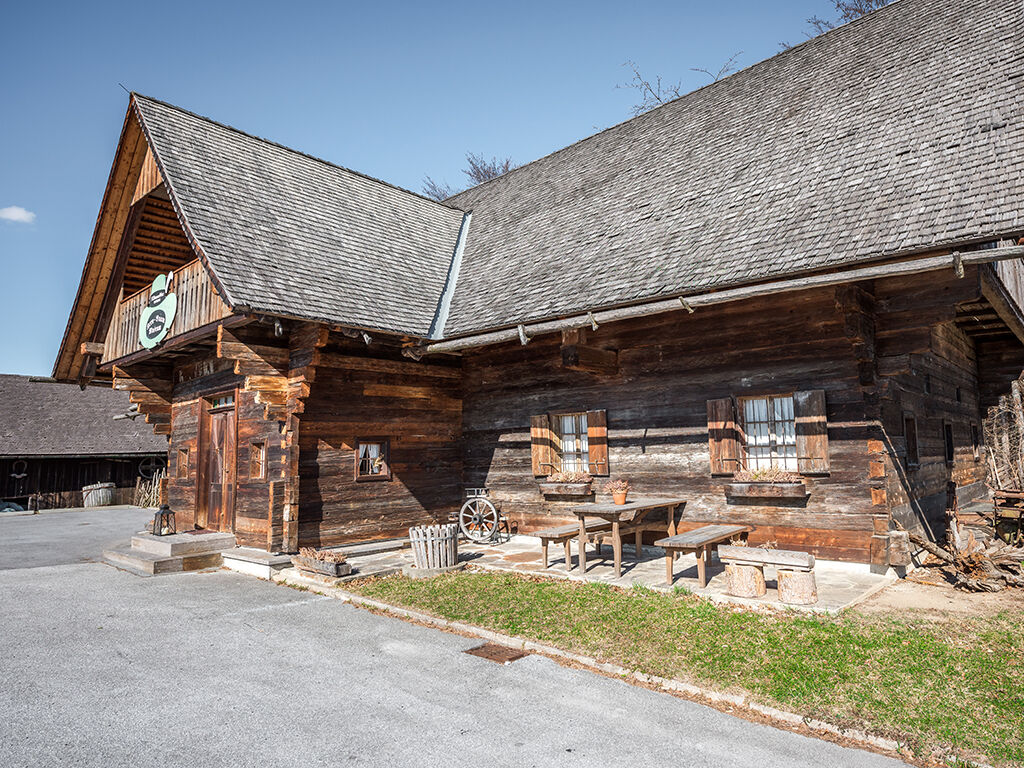
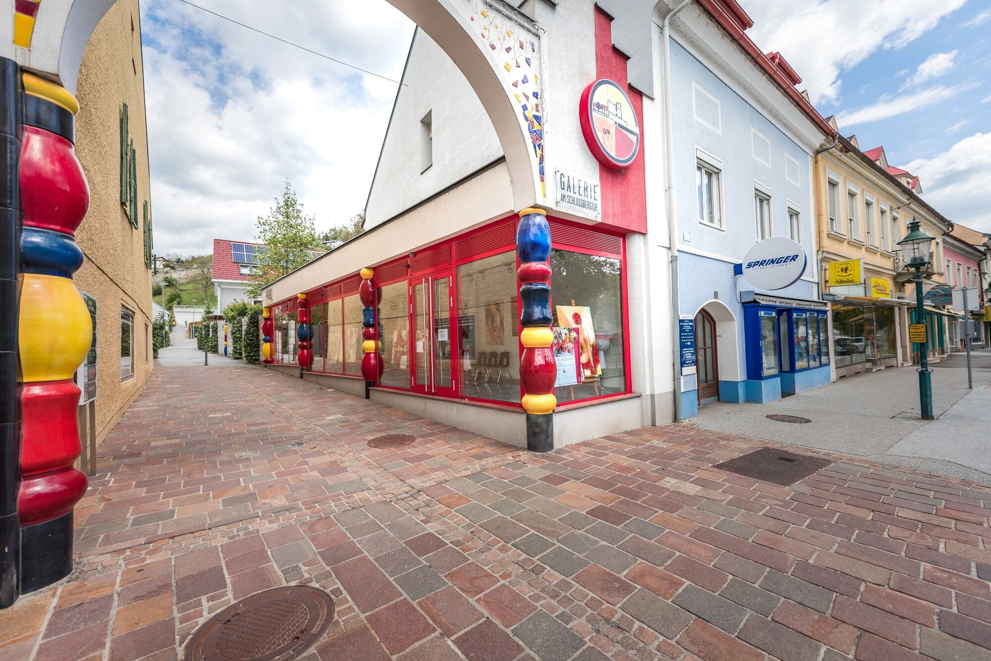
Kulttuuri/Historiallinen
Lupaava
Lisää retkiä alueilla