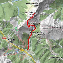
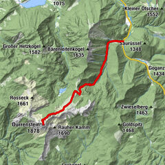
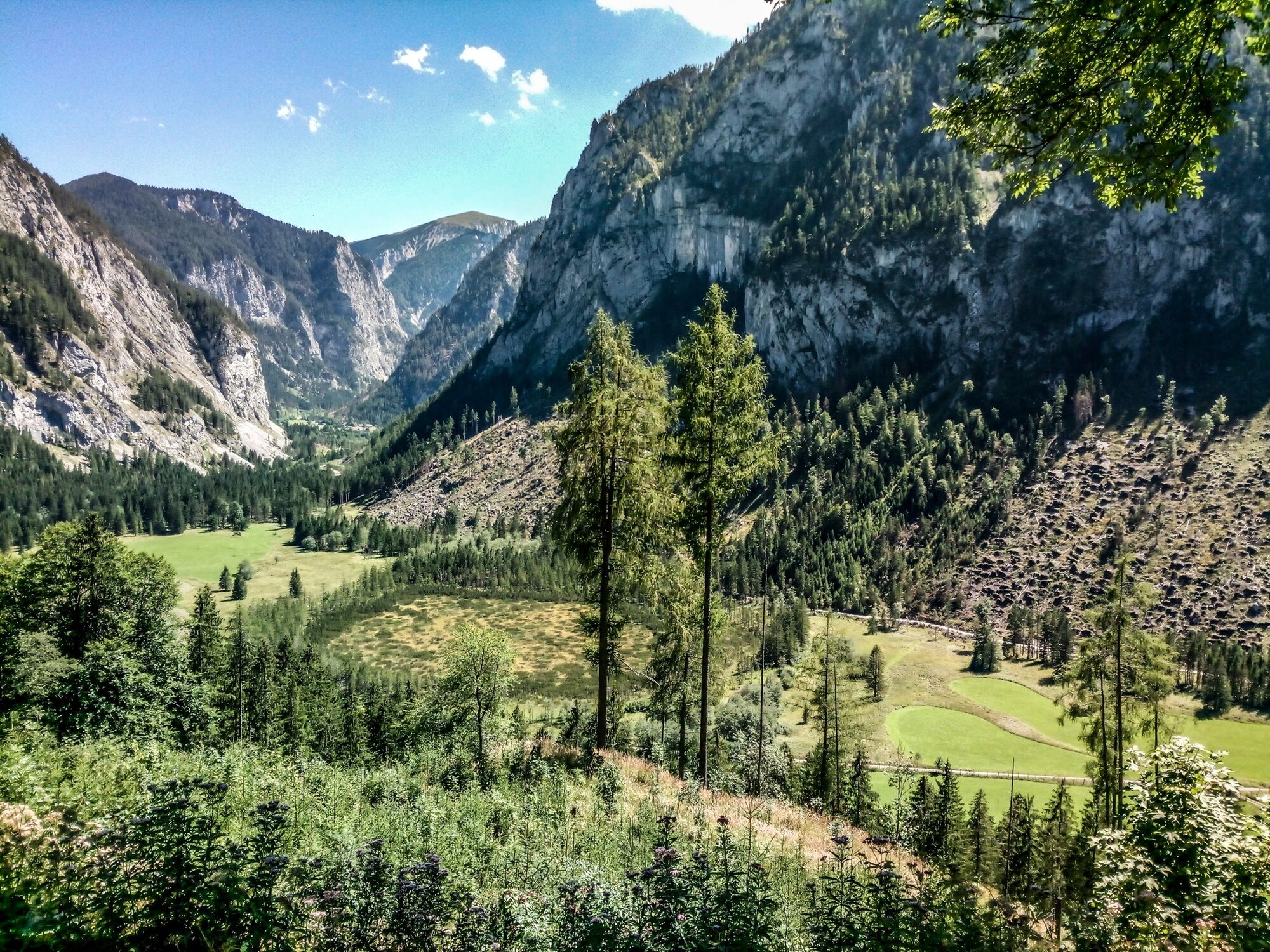
© TV Gesäuse - Tourismusverband Gesäuse

© TV Gesäuse - Tourismusverband Gesäuse

© TV Gesäuse - Tourismusverband Gesäuse

© TV Gesäuse - Tourismusverband Gesäuse

© TV Gesäuse - Tourismusverband Gesäuse

© TV Gesäuse - Tourismusverband Gesäuse

© TV Gesäuse - Tourismusverband Gesäuse

© TV Gesäuse - Tourismusverband Gesäuse

© TV Gesäuse - Tourismusverband Gesäuse

© TV Gesäuse - Tourismusverband Gesäuse


- Lyhyt kuvaus
-
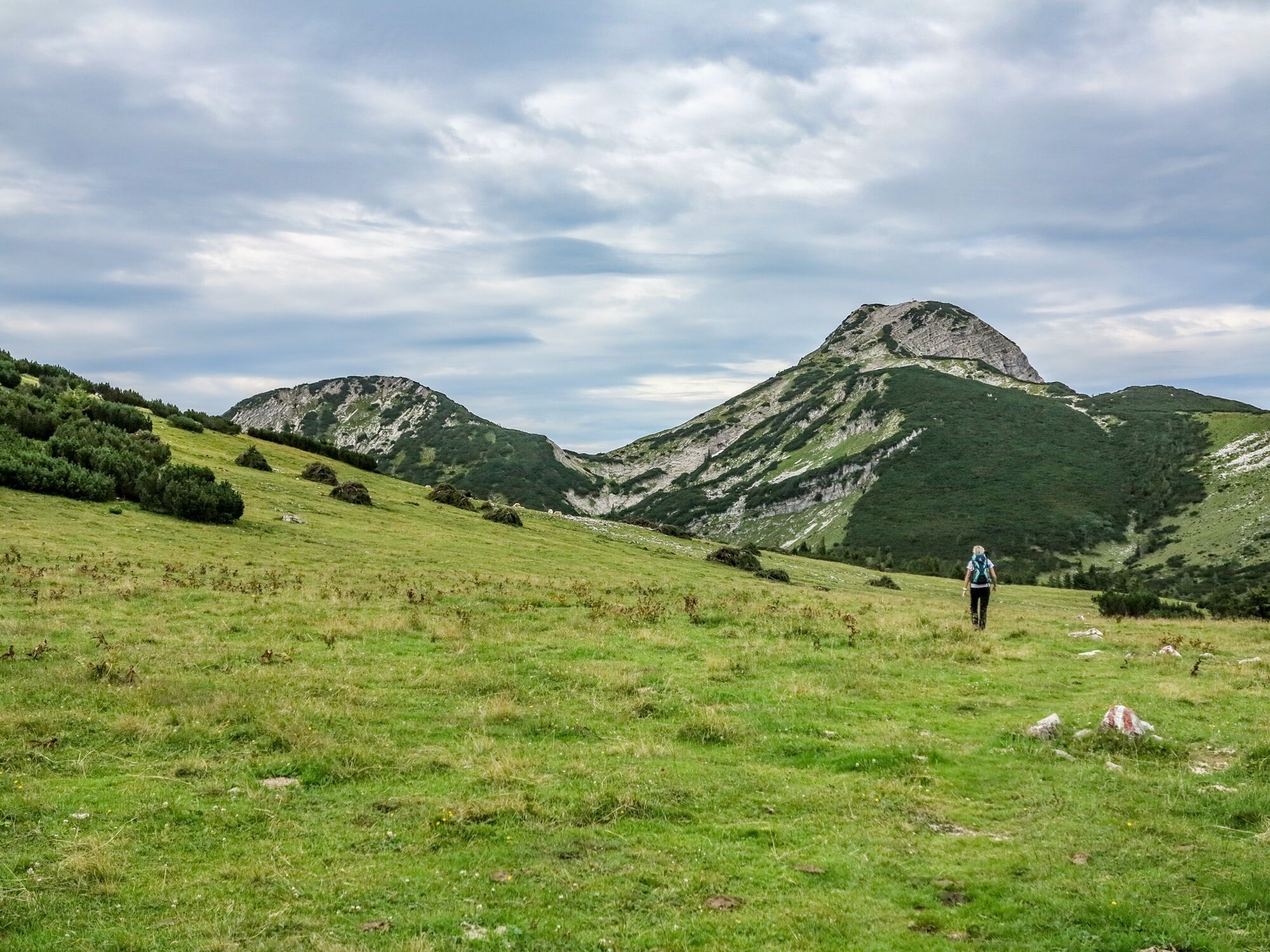
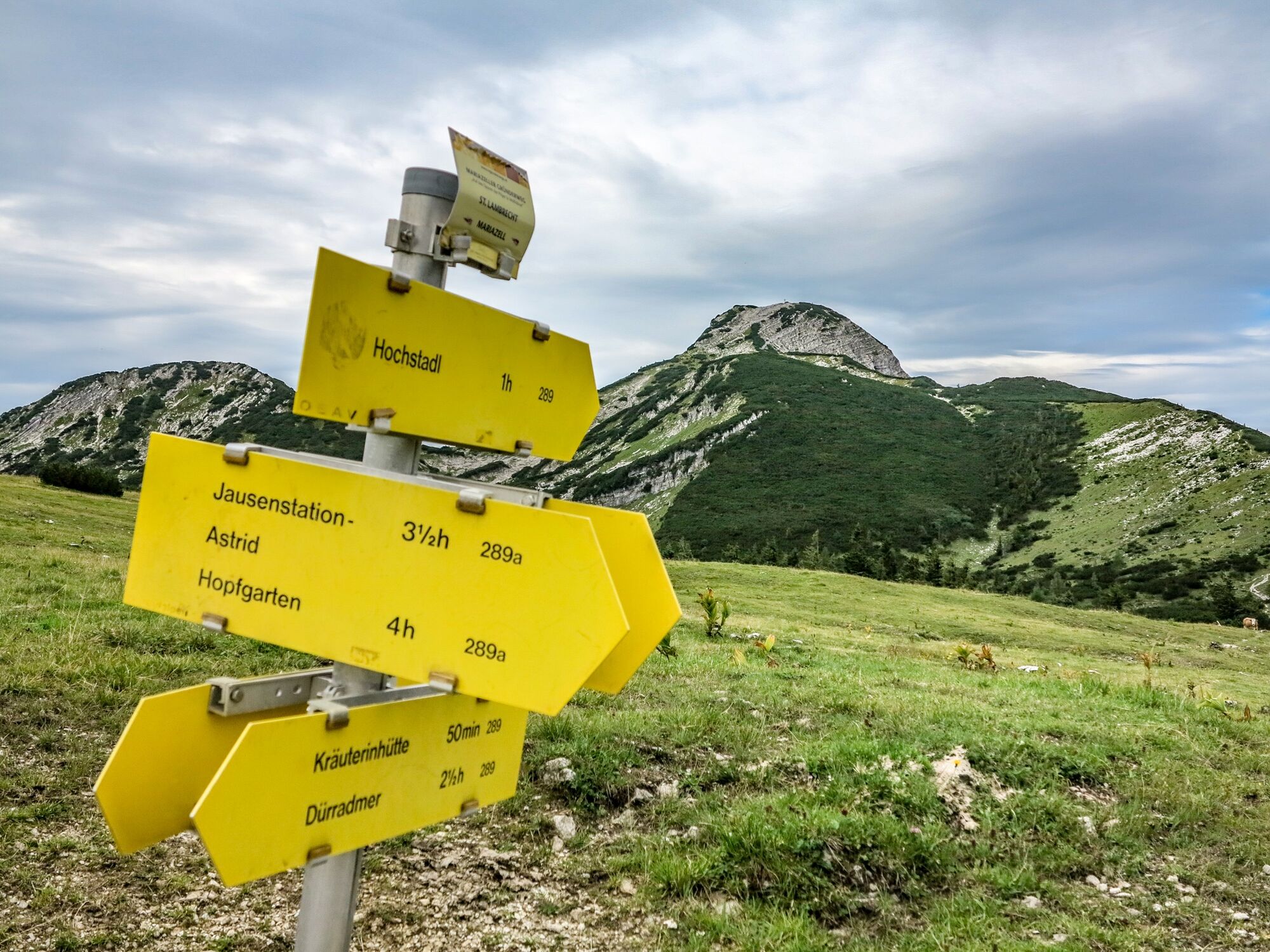
Easy hike from the Nappebachklause via the Kräuterinhütte to the highest peak of the Kräuterin mountain range, the Hochstadl.
- Vaikeus
-
tapa
- Arviointi
-
- Reitti
-
Nappenbachklause0,2 kmKräuterinhütte1,8 kmHochstadl (1.919 m)6,1 kmHochgruben8,3 kmRotmoos14,5 km
- Paras kausi
-
tammihelmimaalishuhtitoukokesäheinäelosyyslokamarrasjoulu
- Korkein kohta
- 1.914 m
- Kohde
-
Rotmoos
- Korkeusprofiili
-


-

-
KirjoittajaKiertue Kräuterin Hochstadl Überschreitung käyttää outdooractive.com toimitettu.
GPS Downloads


Yleistä tietoa
Virvokepysäkki
Lisää retkiä alueilla
-
Erzberg Leoben
2529
-
Hochschwab
1273
-
Wildalpen
254