

© Herbert Raffalt
© Gerhard Pilz

© Tourismusverband Schladming - Gerhard Pilz
© Herbert Raffalt - Gerhard Pilz

© Tourismusverband Schladming - Gerhard Pilz
© Gerhard Pilz
© Gerhard Pilz

© Tourismusverband Schladming - Gerhard Pilz - Gerhard Pilz
© Tourismusverband Schladming - Gerhard Pilz
© Tourismusverband Schladming - Gerhard Pilz - Gerhard Pilz
- Lyhyt kuvaus
-
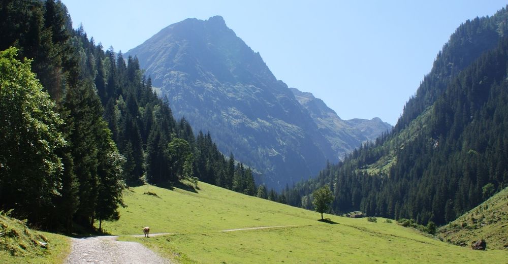
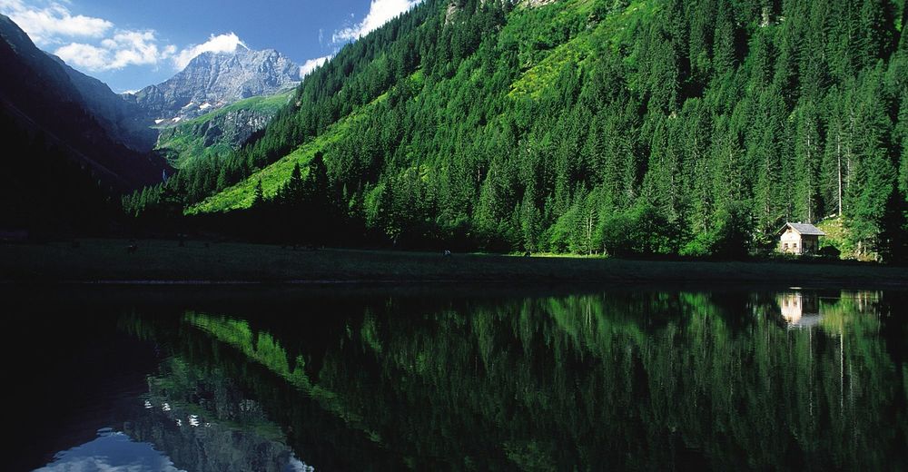
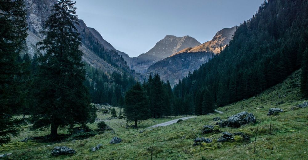
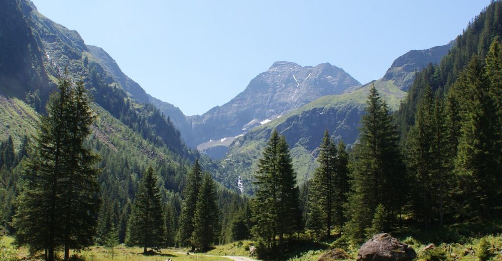
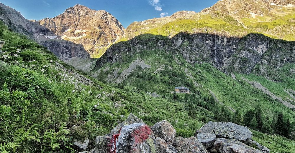
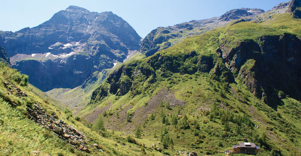
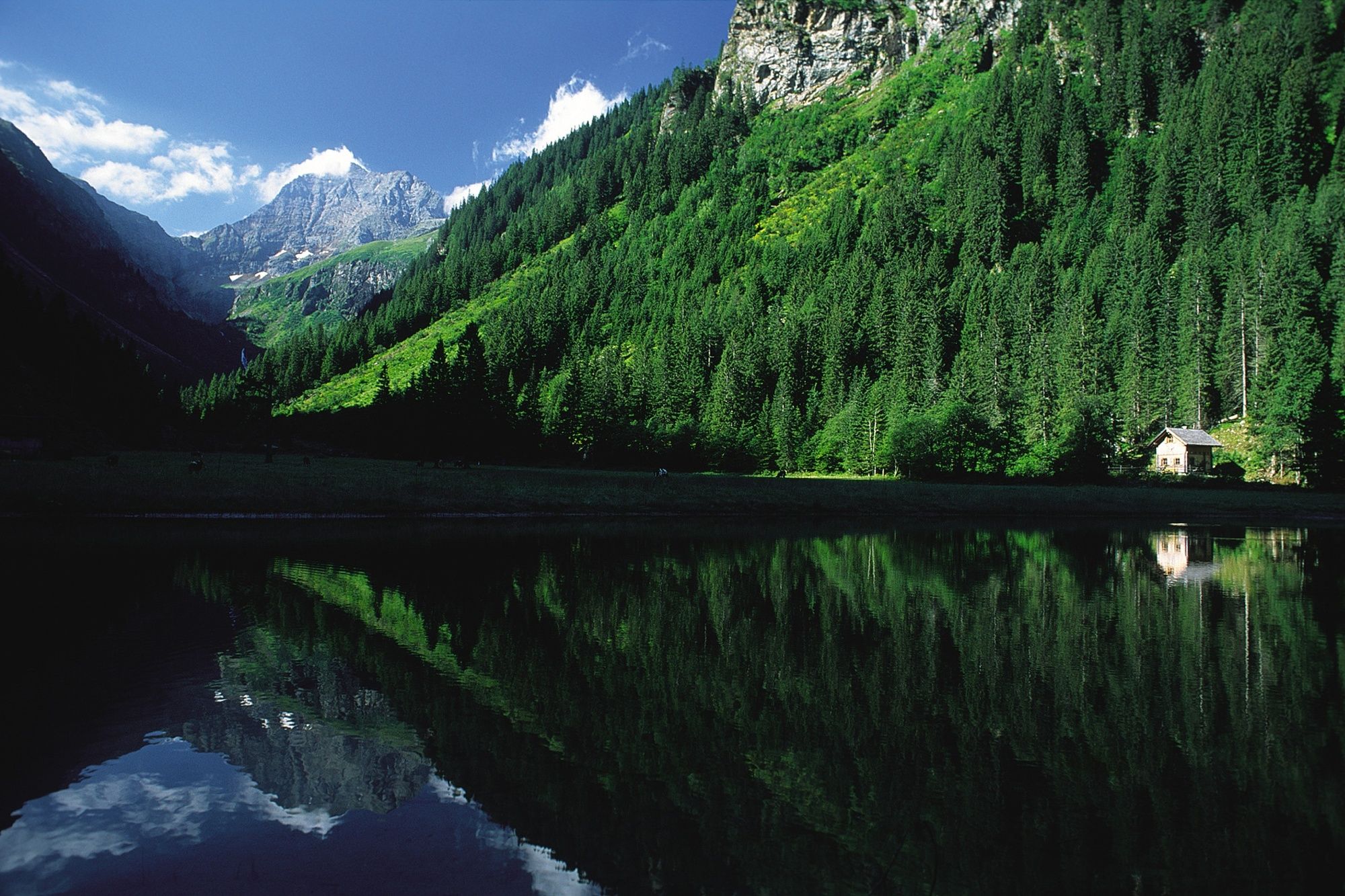
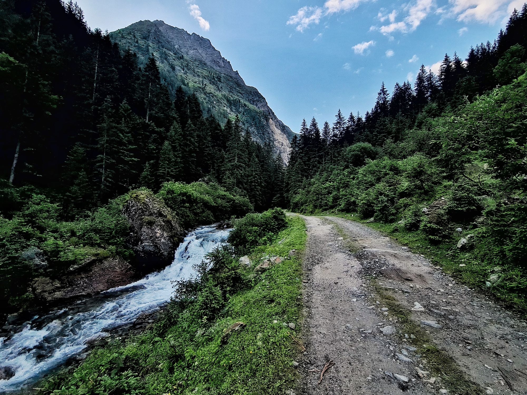
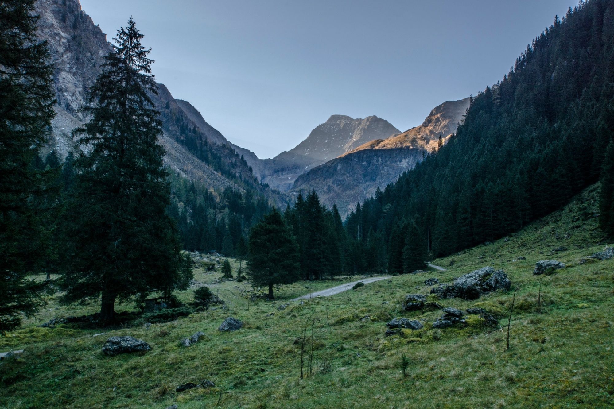
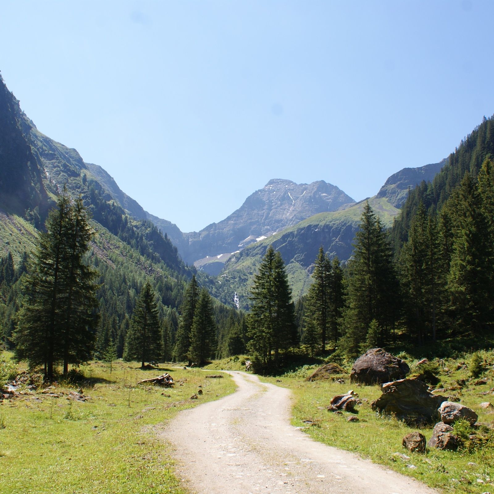
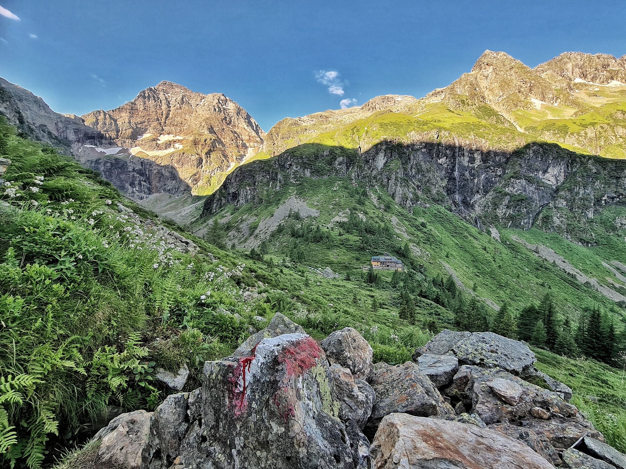
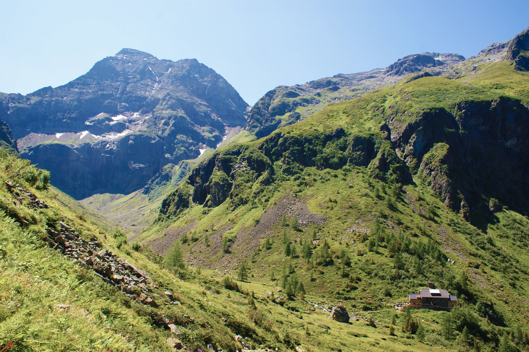
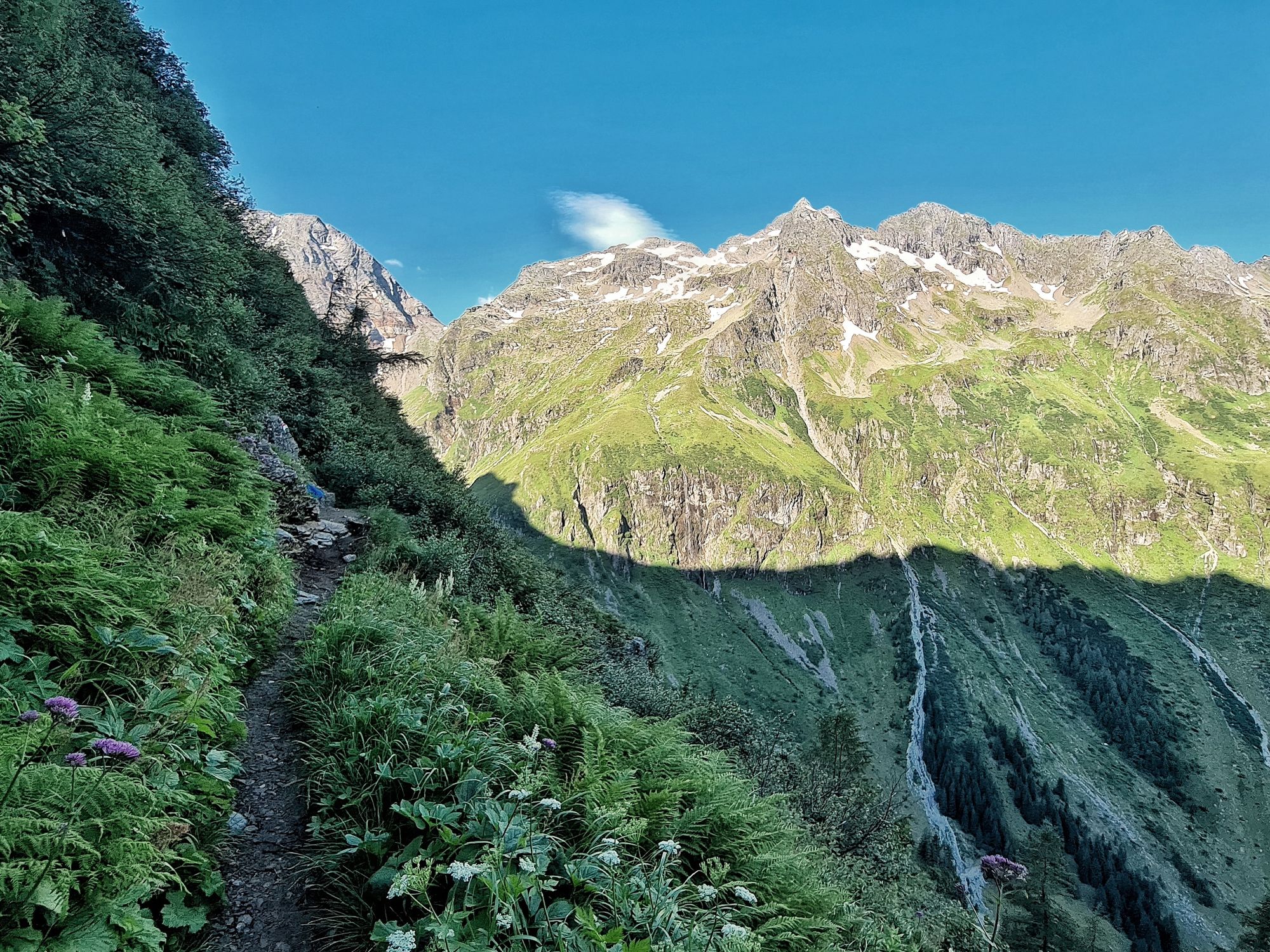
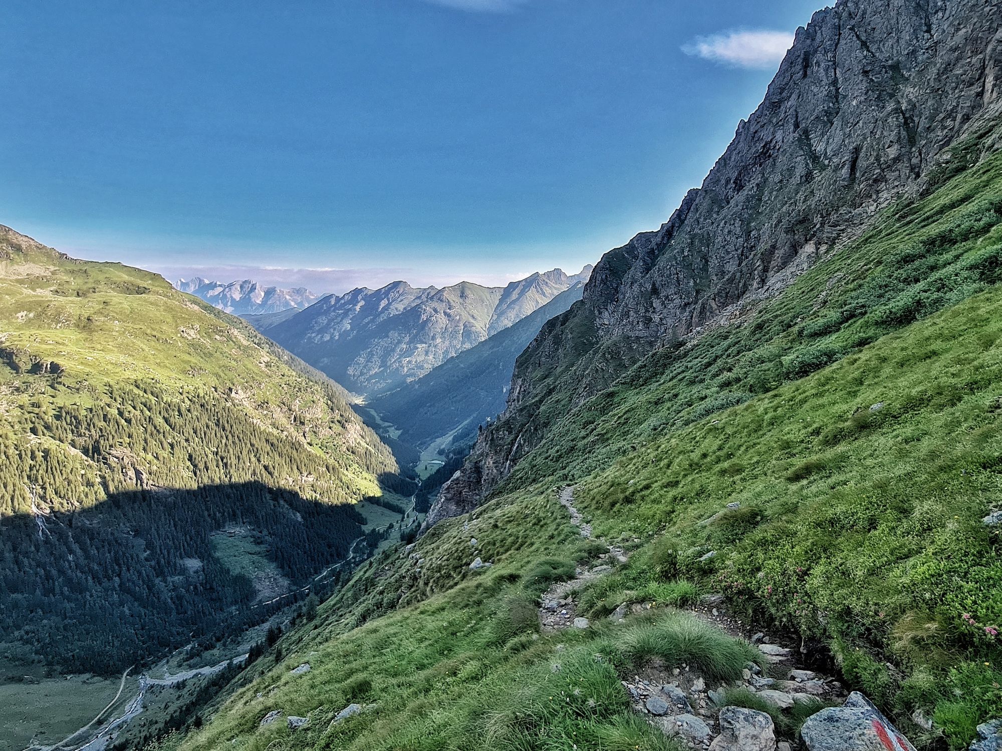
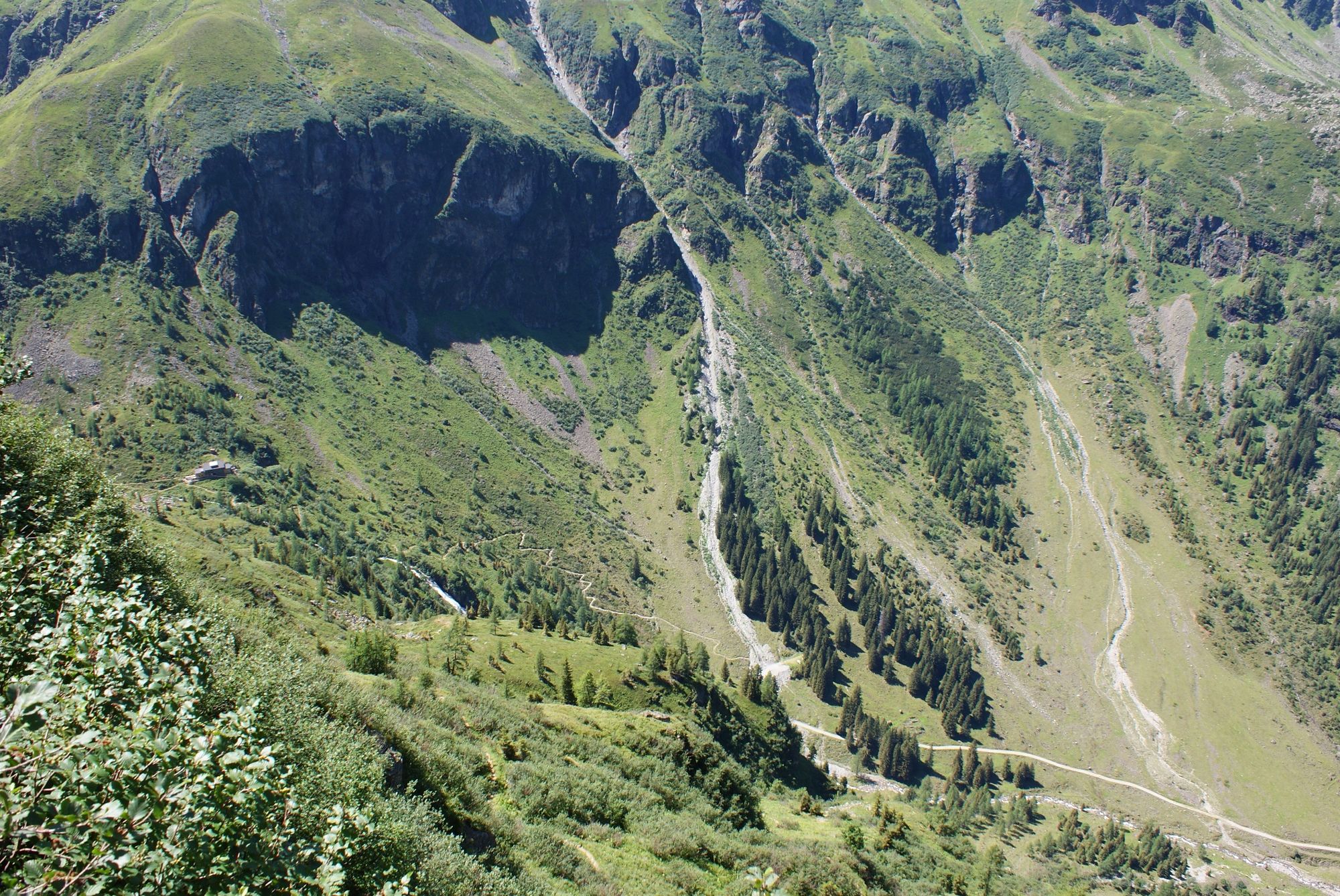
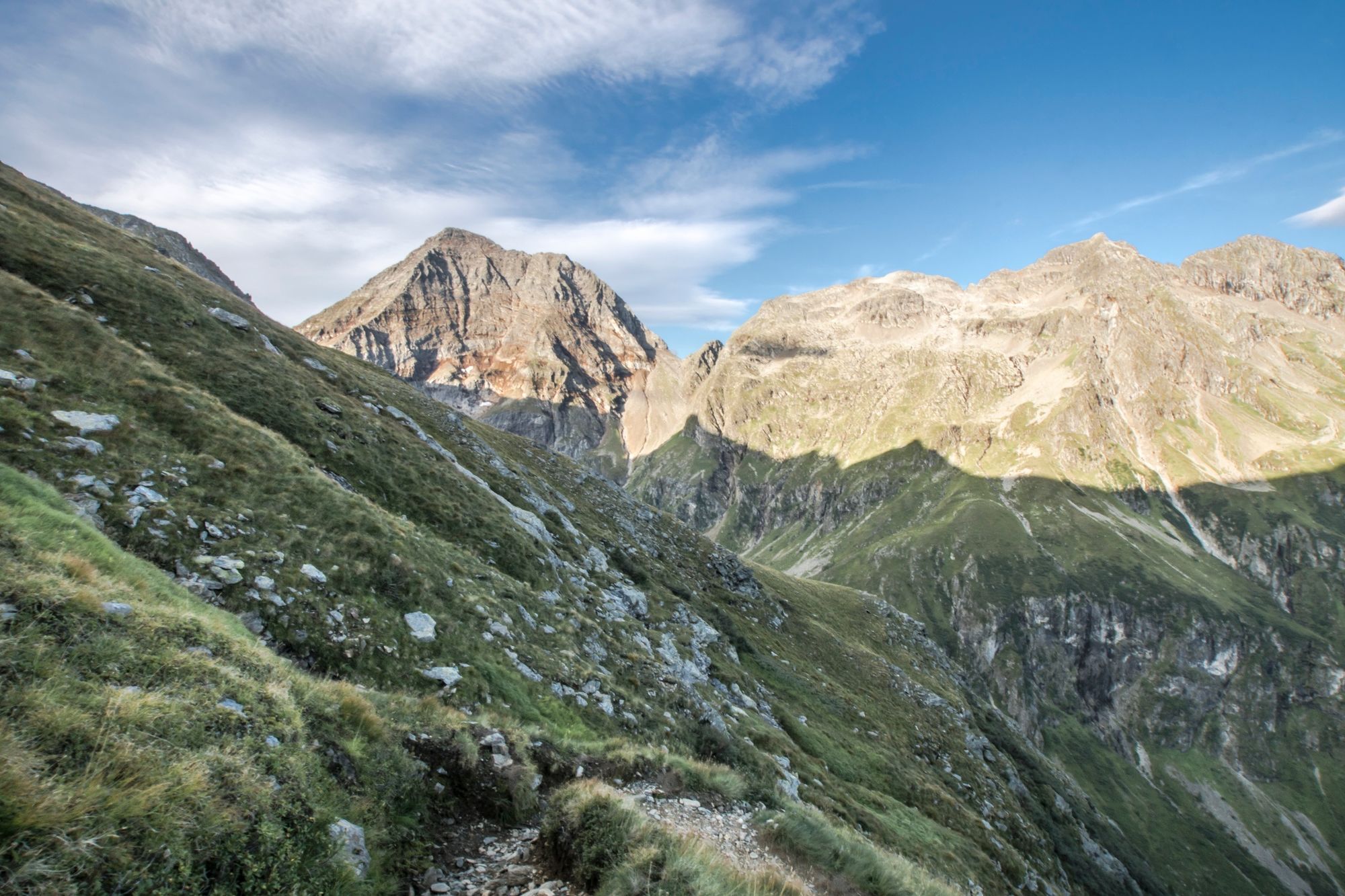
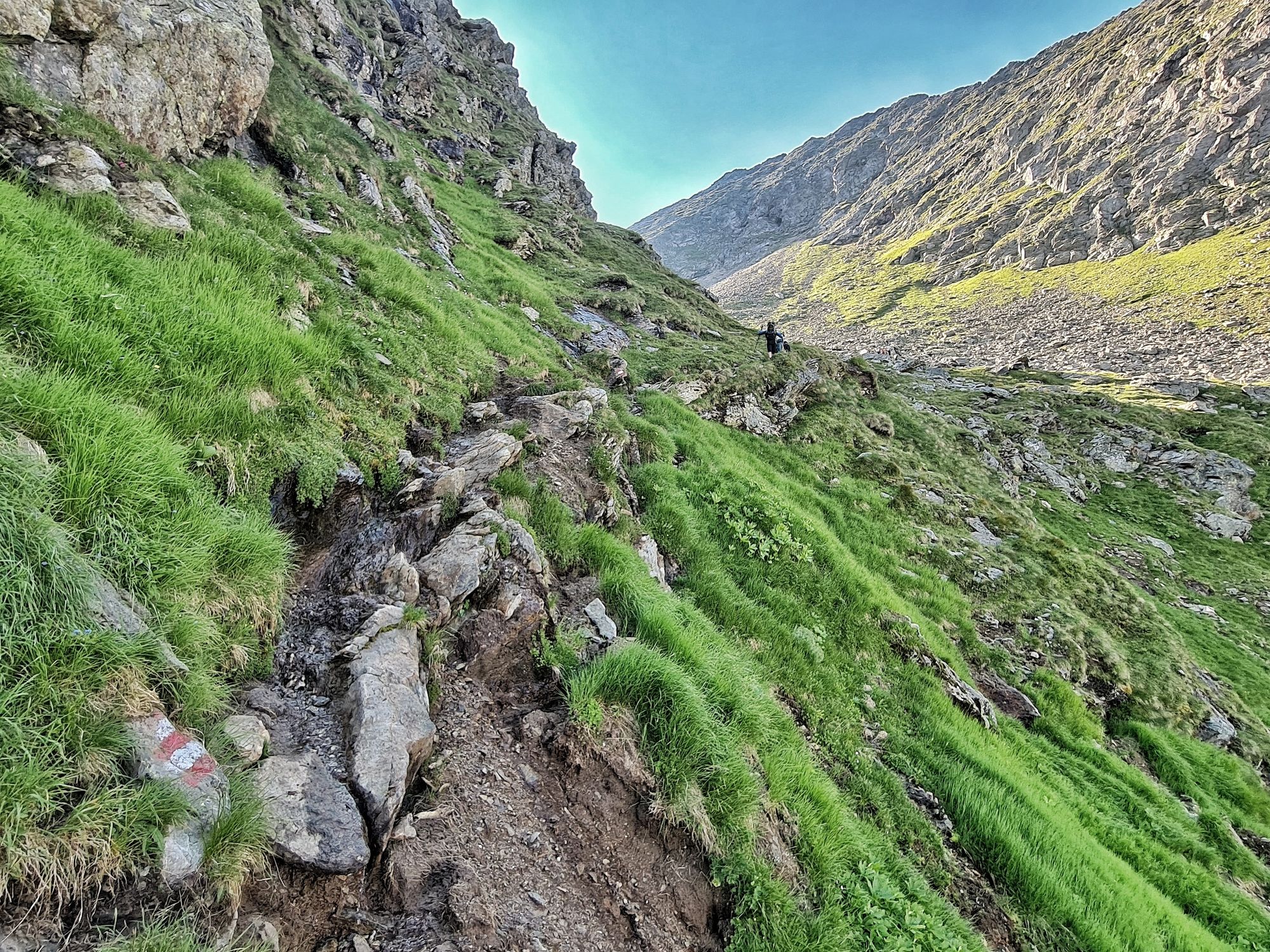
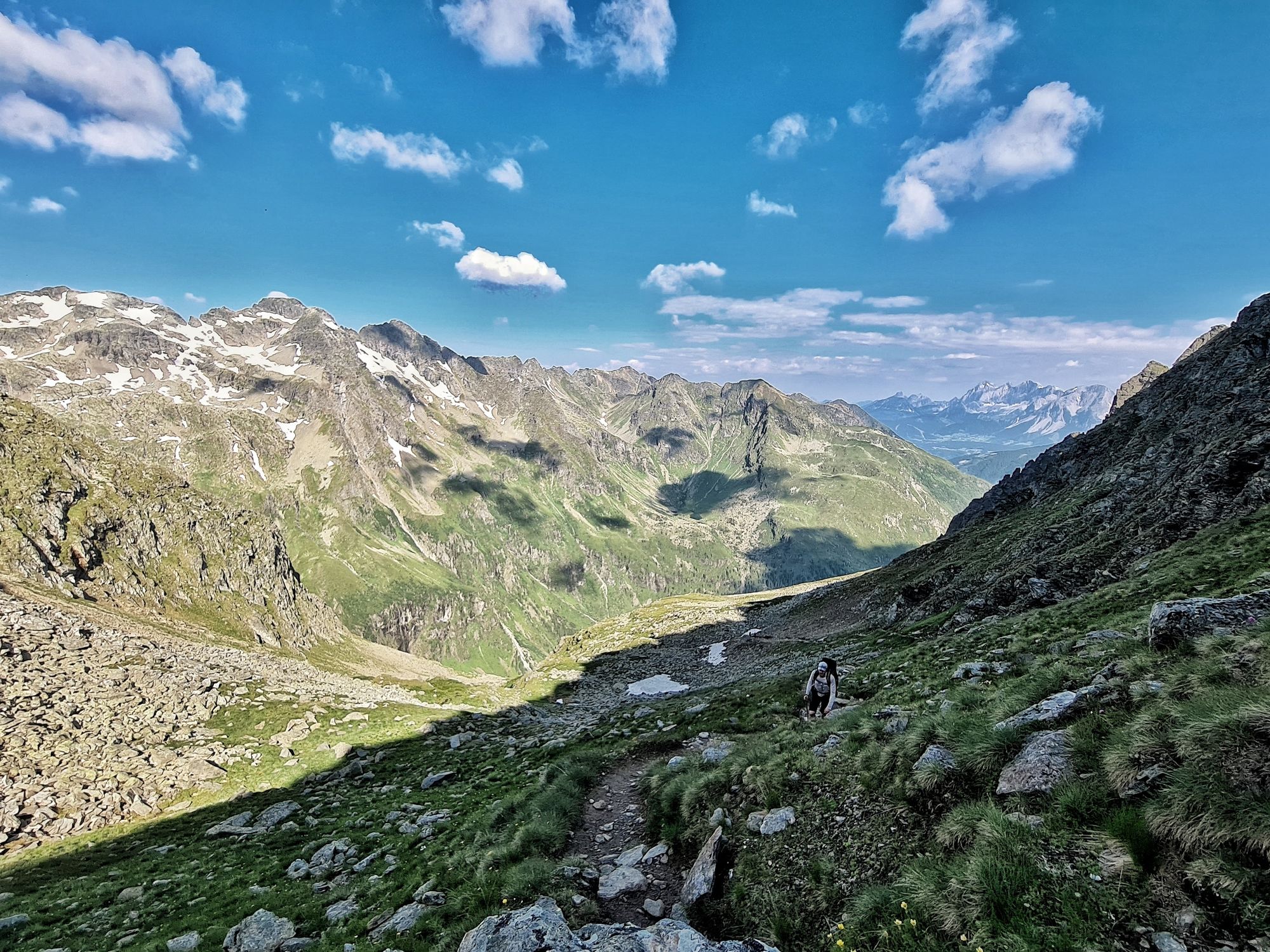
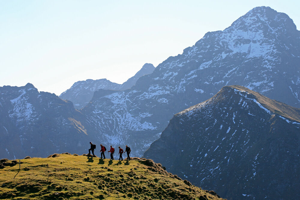
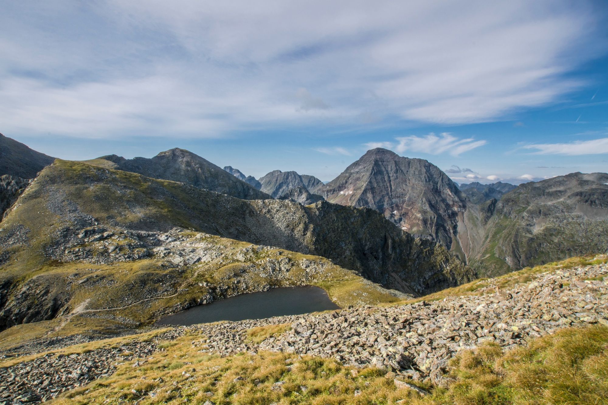
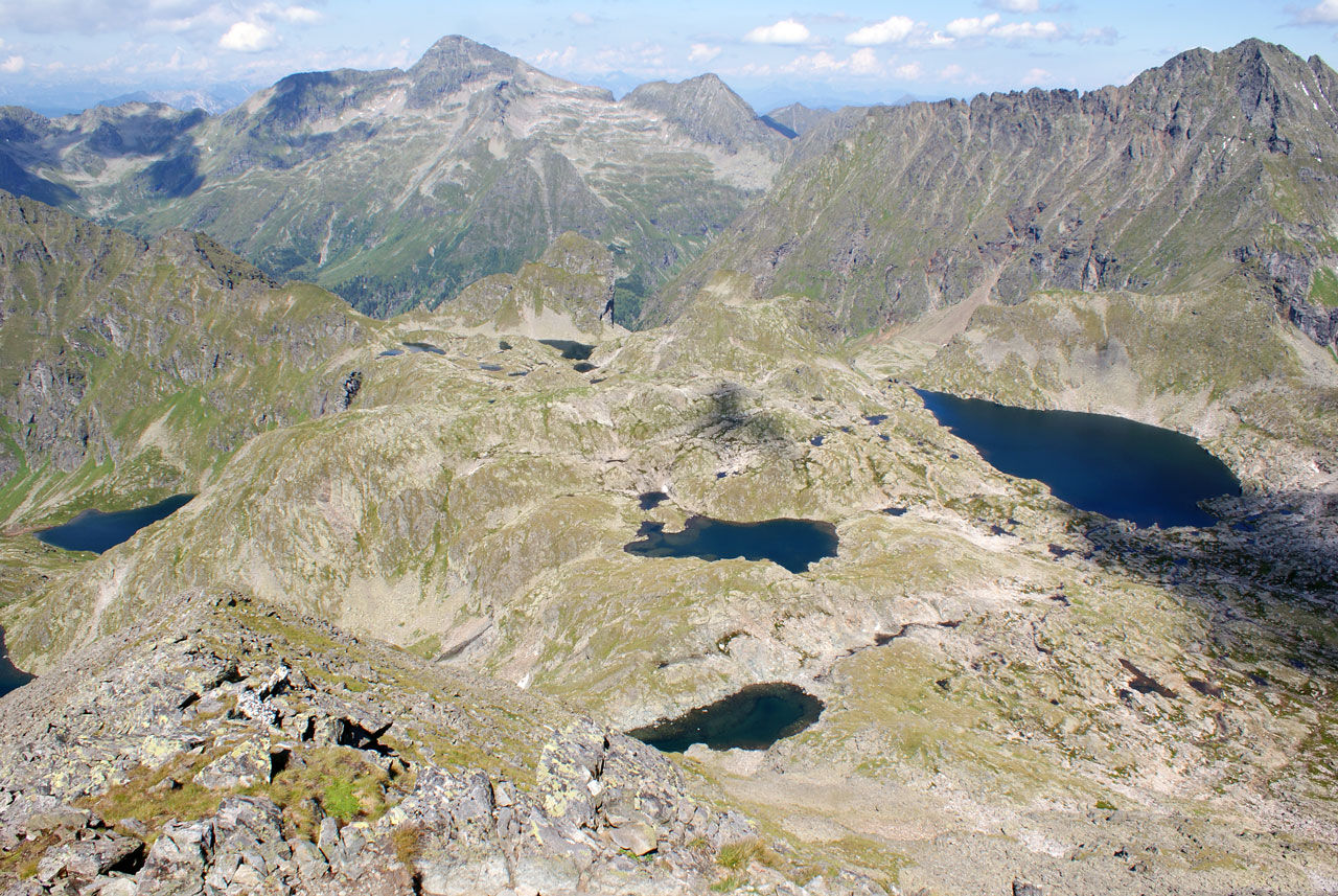
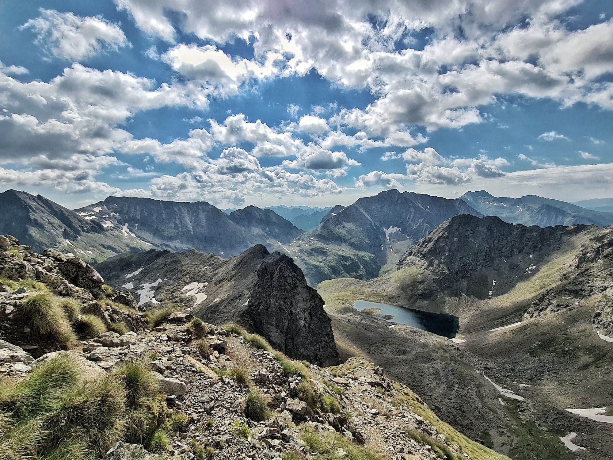
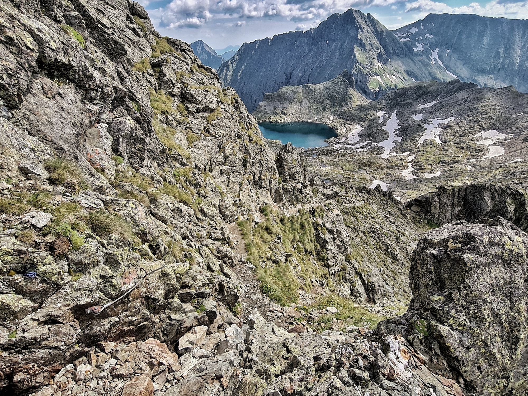
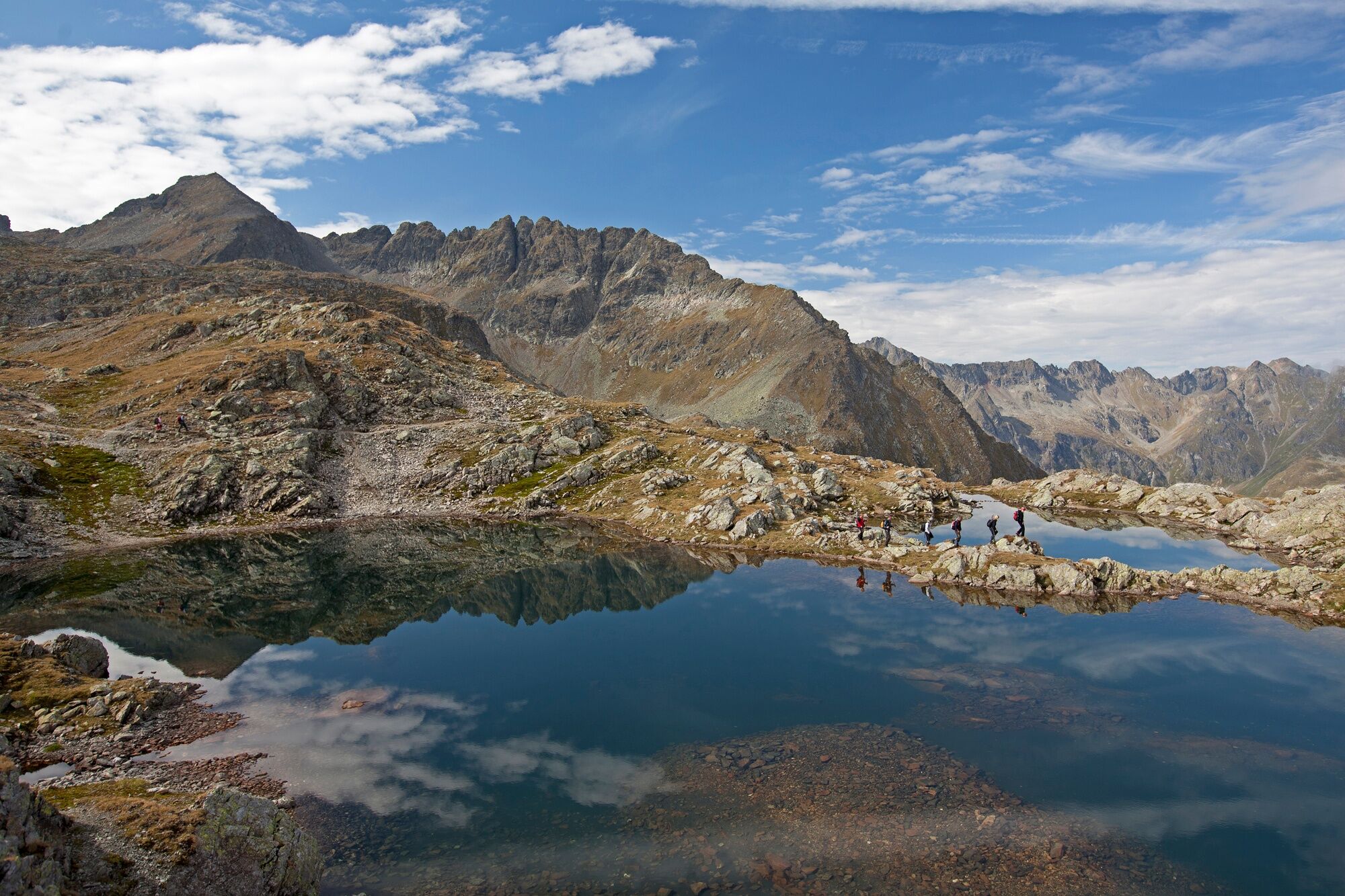
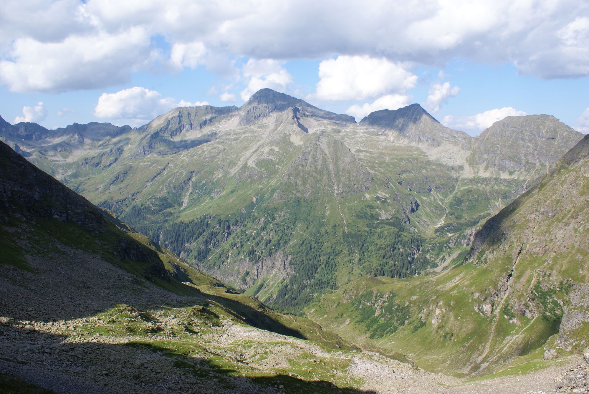
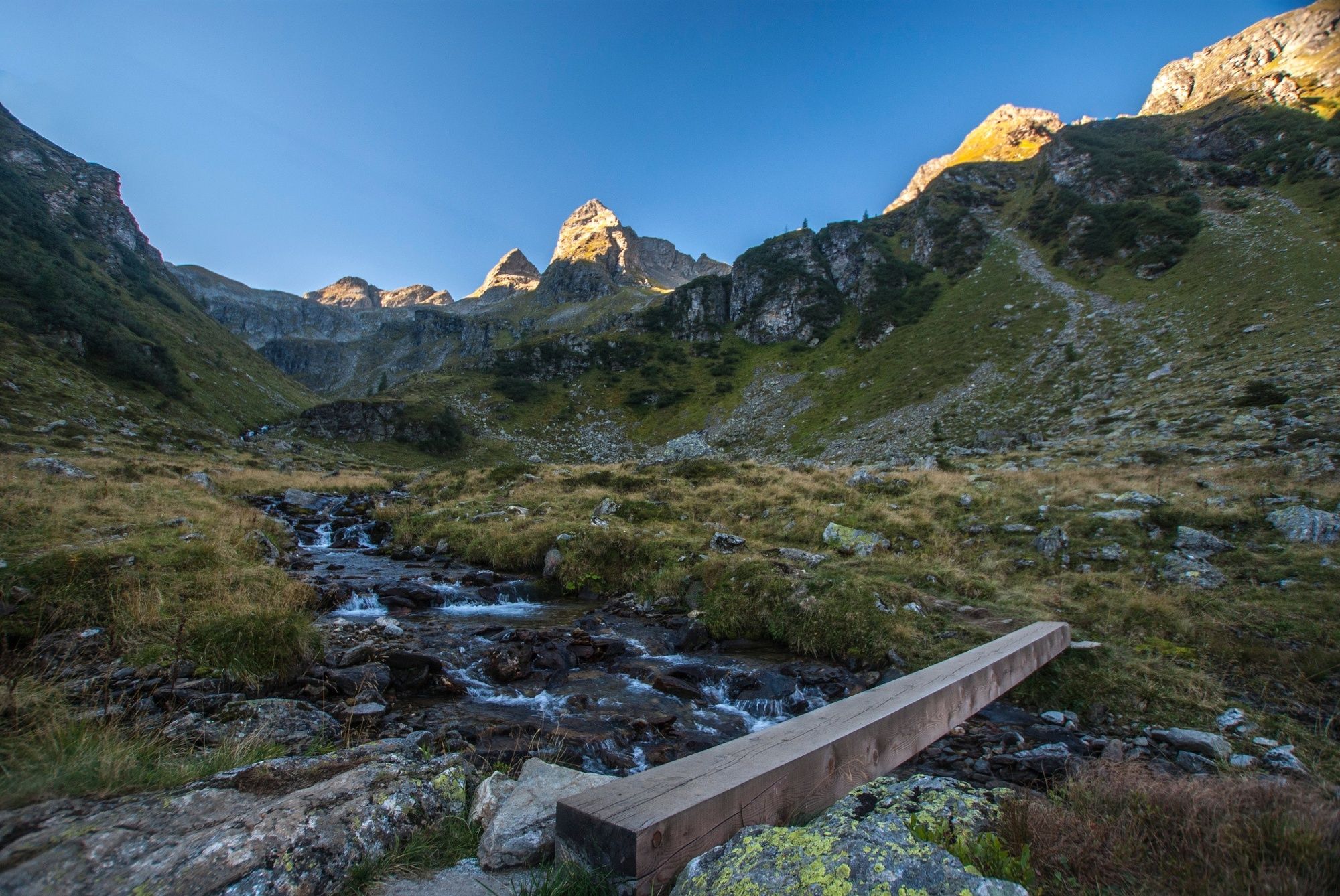
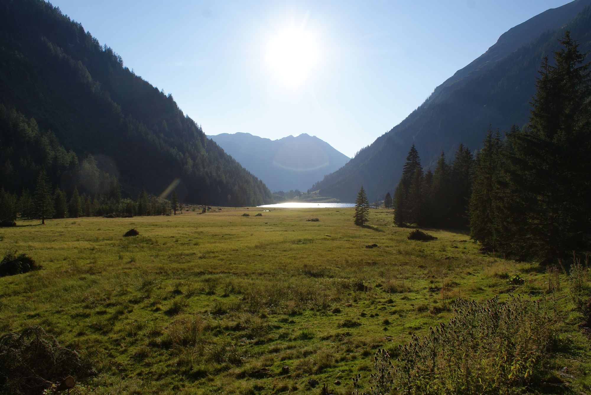
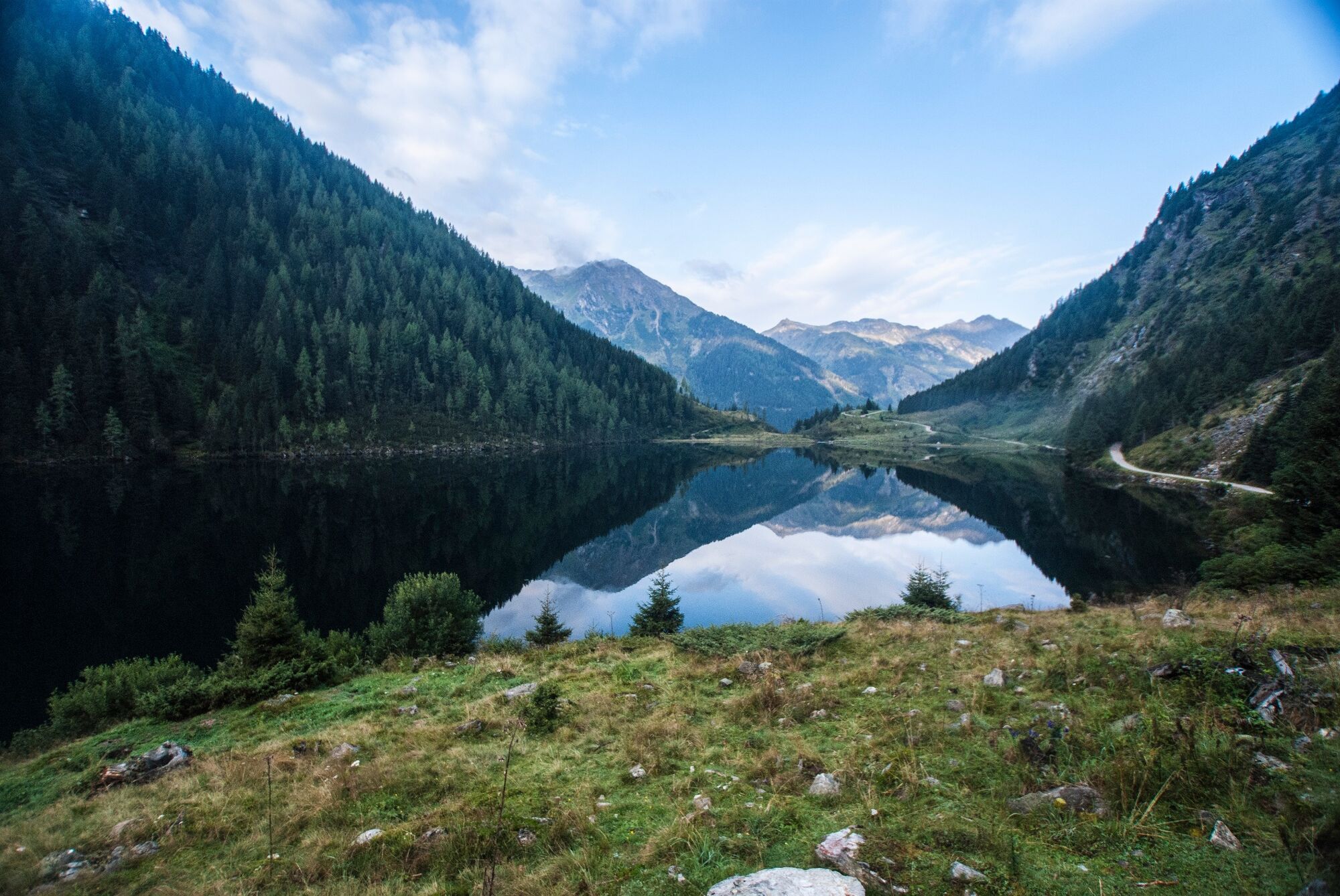
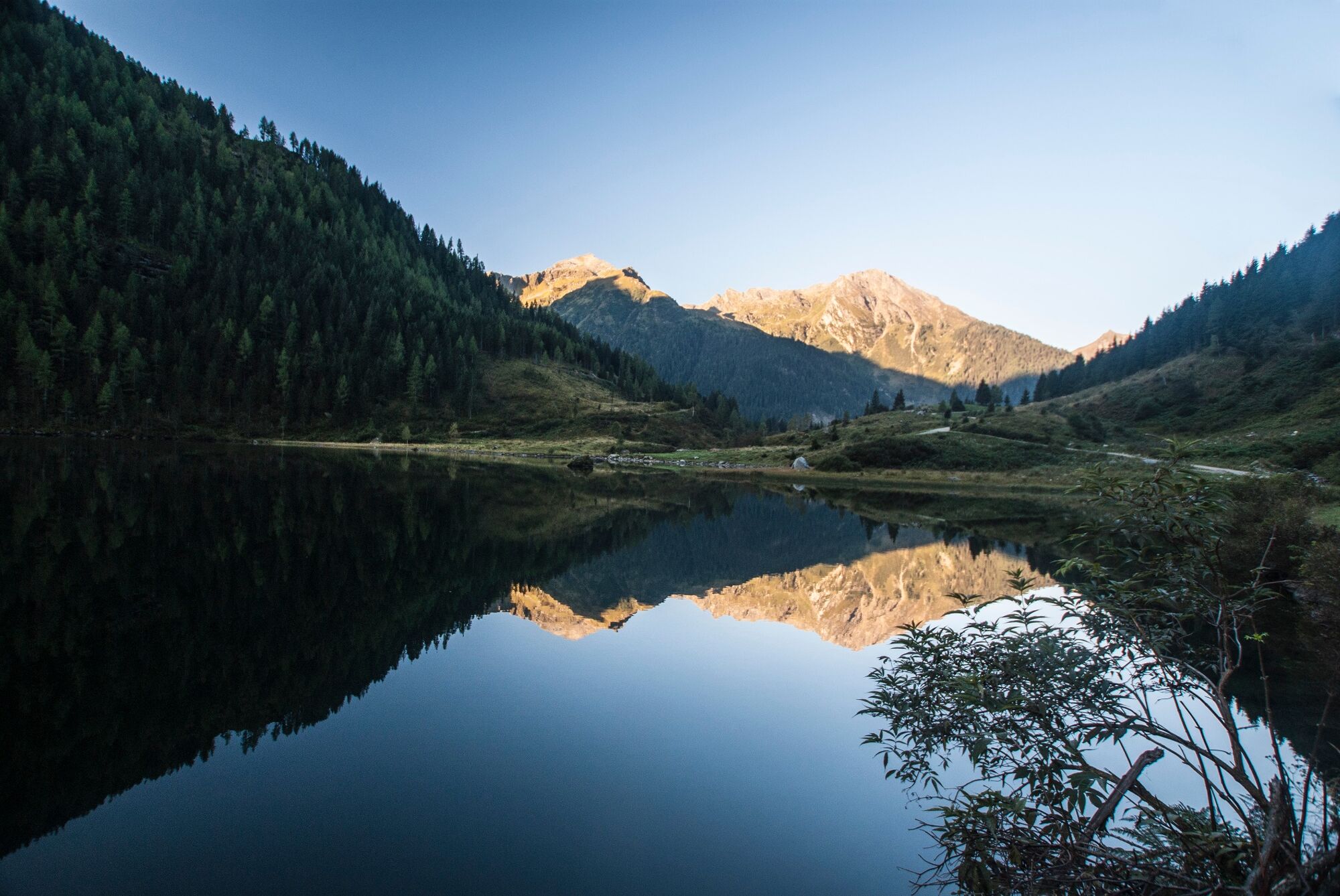
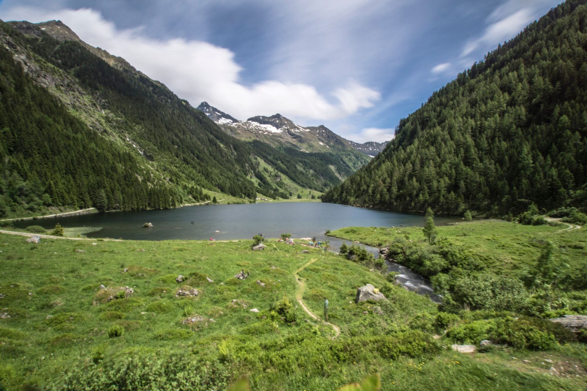
The hiking tour across the lakeland of Klafferkessel on an altitude of 2,300 m with around 30 mountain lakes and tarns is one of the most spectacular, alpine passages in Austria.
- Vaikeus
-
vaikea
- Arviointi
-
- Reitti
-
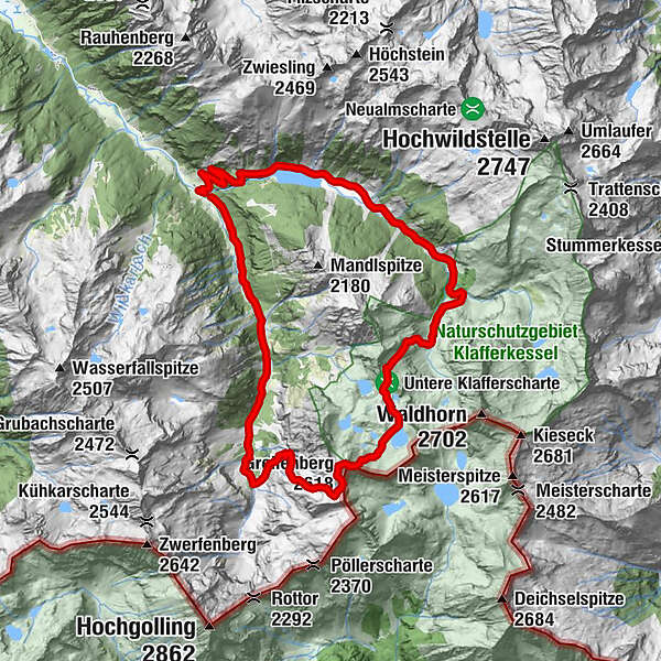
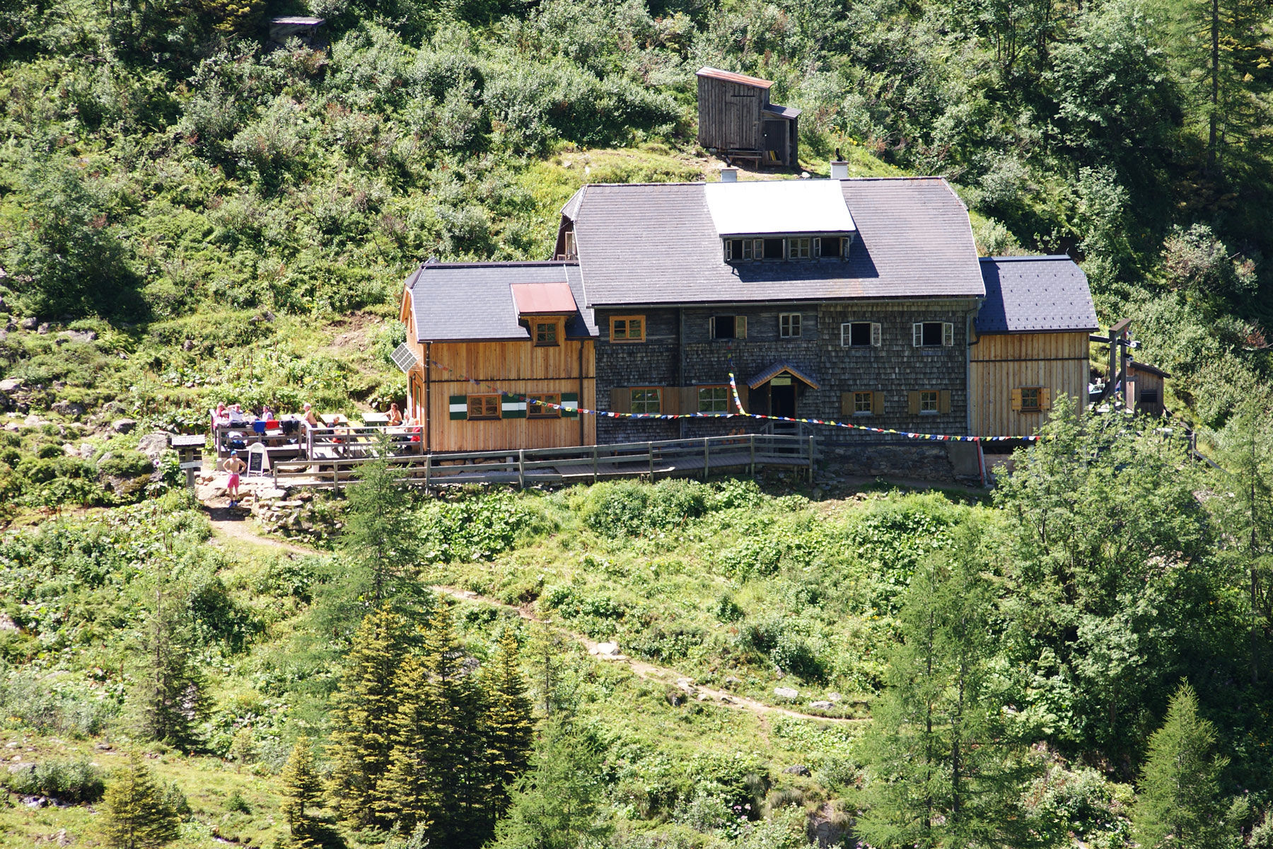
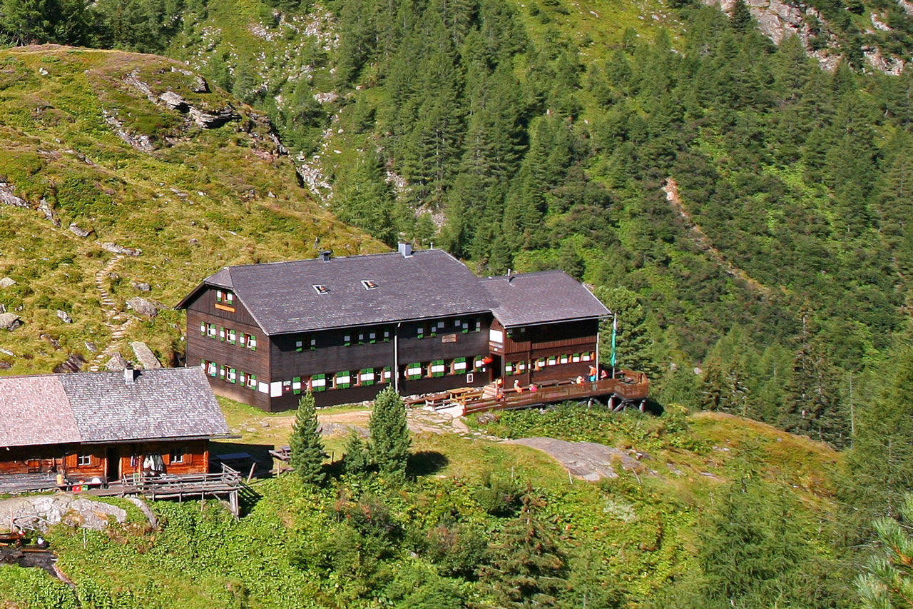
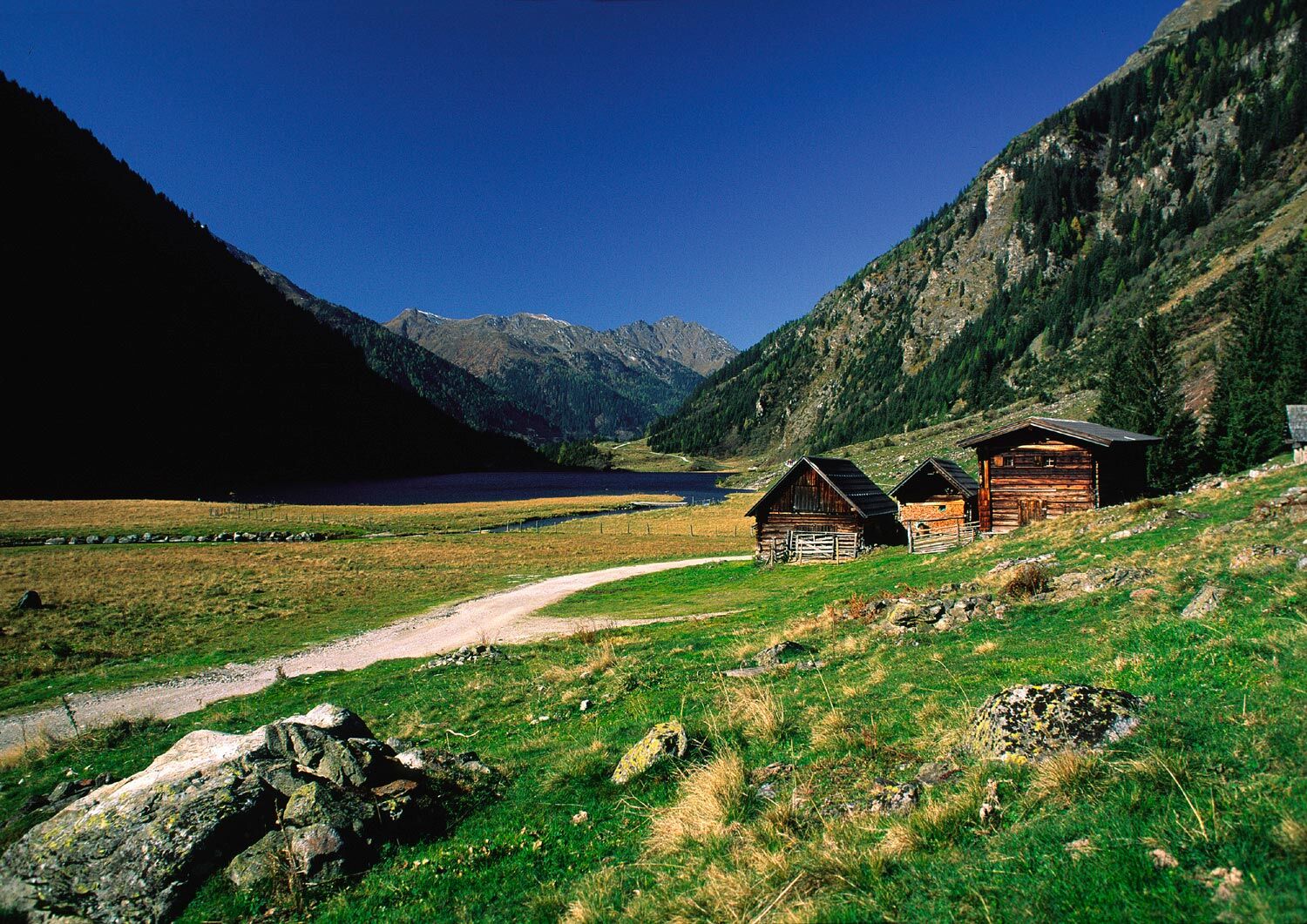
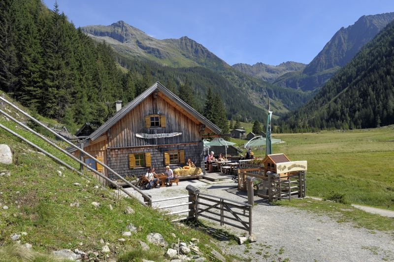
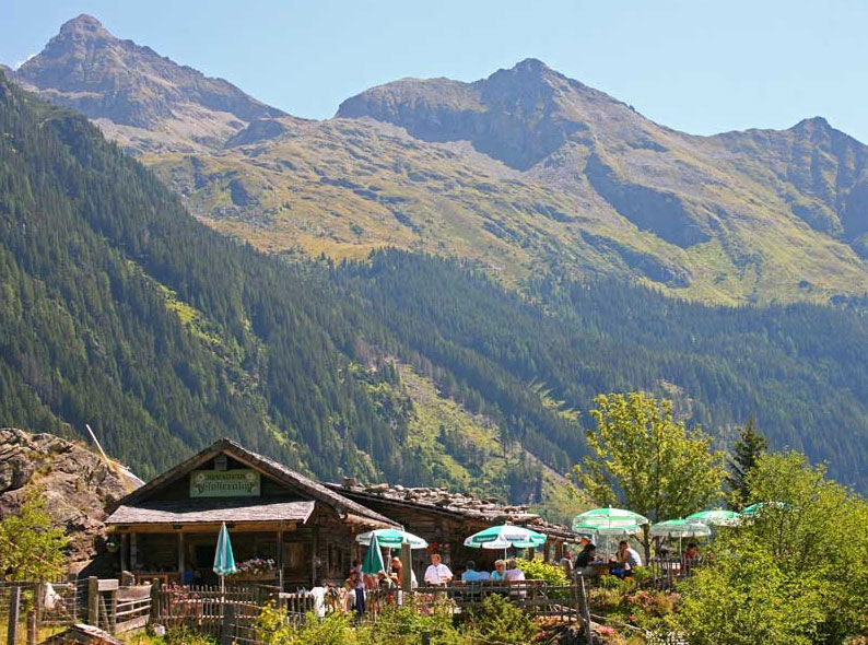
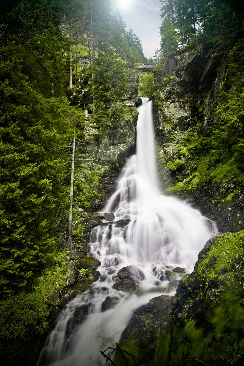
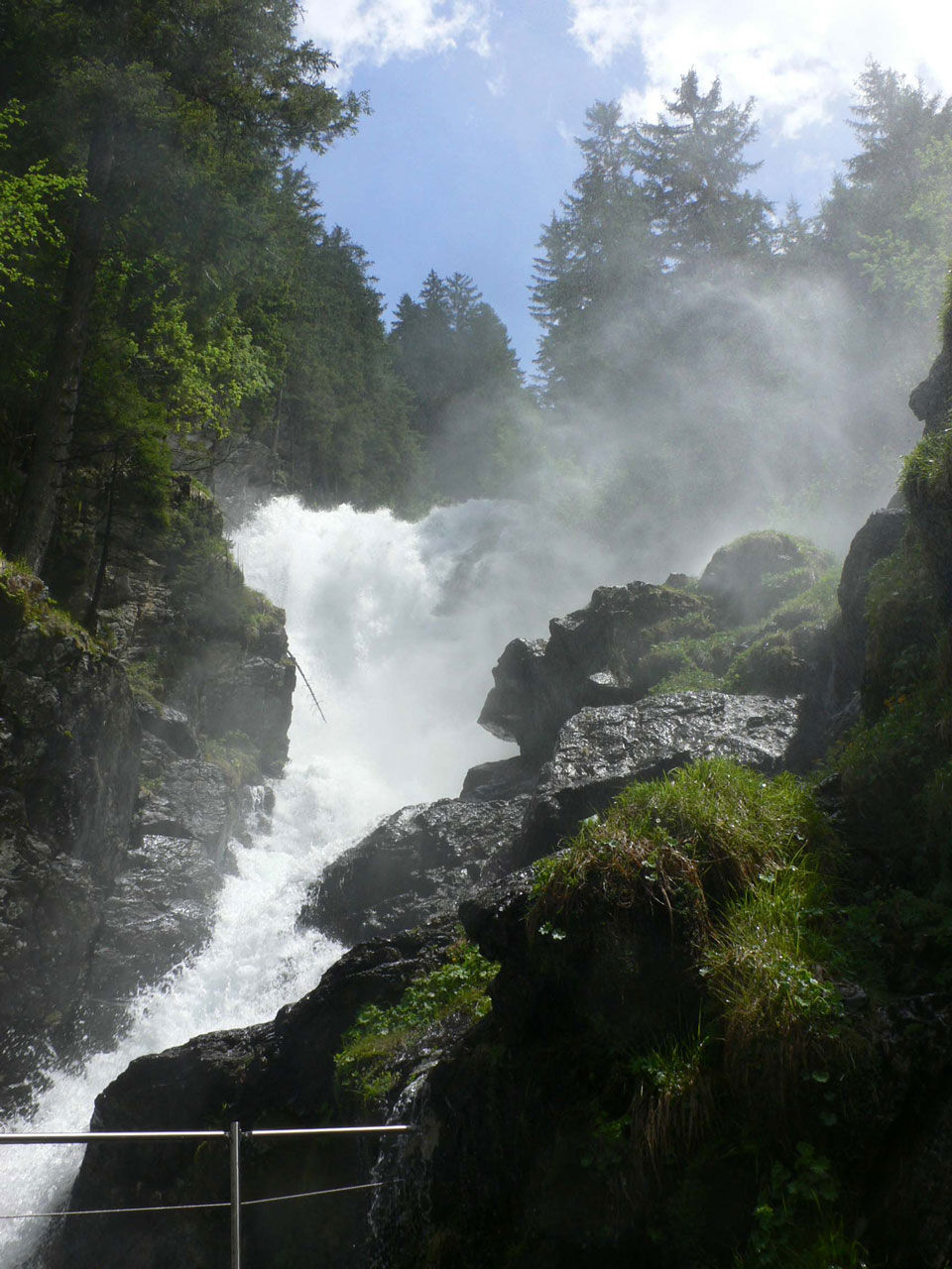
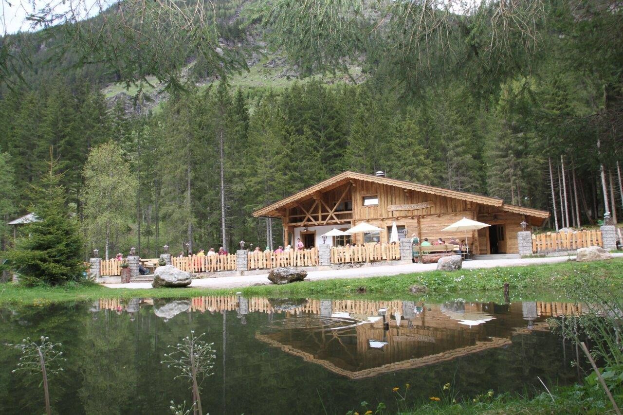
Gasthof Zum RiesachfallKleiner Riesachfall0,0 kmehem. Untere Stegeralm4,3 kmGollinghütte (1.642 m)5,5 kmGreifenberg (2.618 m)9,2 kmKlafferkessel10,1 kmReislingscharte (2.313 m)10,7 kmÄußeres Lämmerkar13,2 kmWaldhornalm14,1 kmPreintalerhütte (1.657 m)14,1 kmKaltenbachalm17,8 kmGföller Alm18,9 kmGroßer Riesachfall20,6 kmKleiner Riesachfall21,2 km
- Paras kausi
-
tammihelmimaalishuhtitoukokesäheinäelosyyslokamarrasjoulu
- Korkein kohta
- 2.600 m
- Kohde
-
Seeleiten car parking, Untertal valley
- Korkeusprofiili
-


-

-
KirjoittajaKiertue Klafferkessel - a majestic tour käyttää outdooractive.com toimitettu.
GPS Downloads


Yleistä tietoa
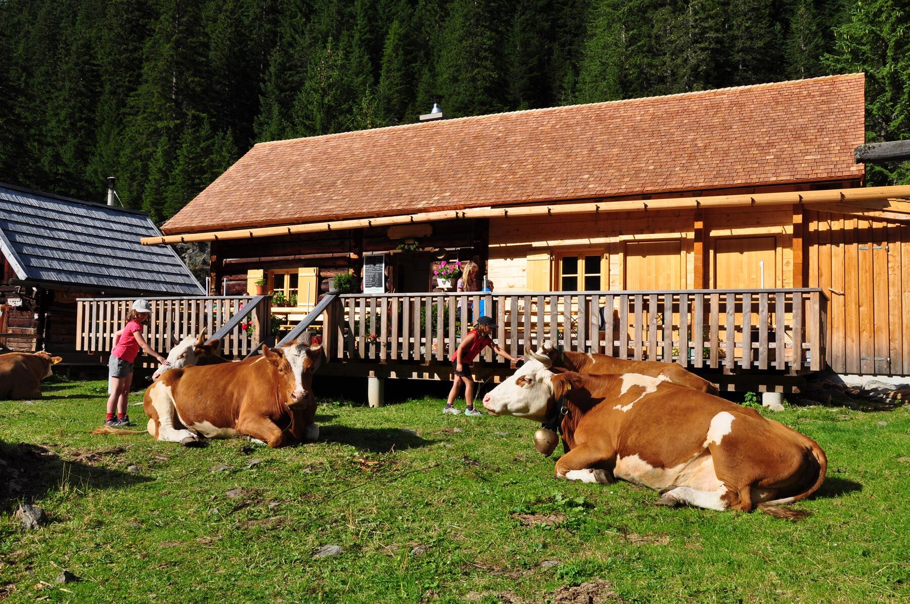
Virvokepysäkki
Flora
Lupaava
Lisää retkiä alueilla
-
Schladming - Dachstein
3001
-
Schladming - Rohrmoos
1478
-
Haus im Ennstal
366


