

© TVB Oststeiermark - Christa Pollhammer

© Gasthaus Karl-Wirt - Bernhard Häusler

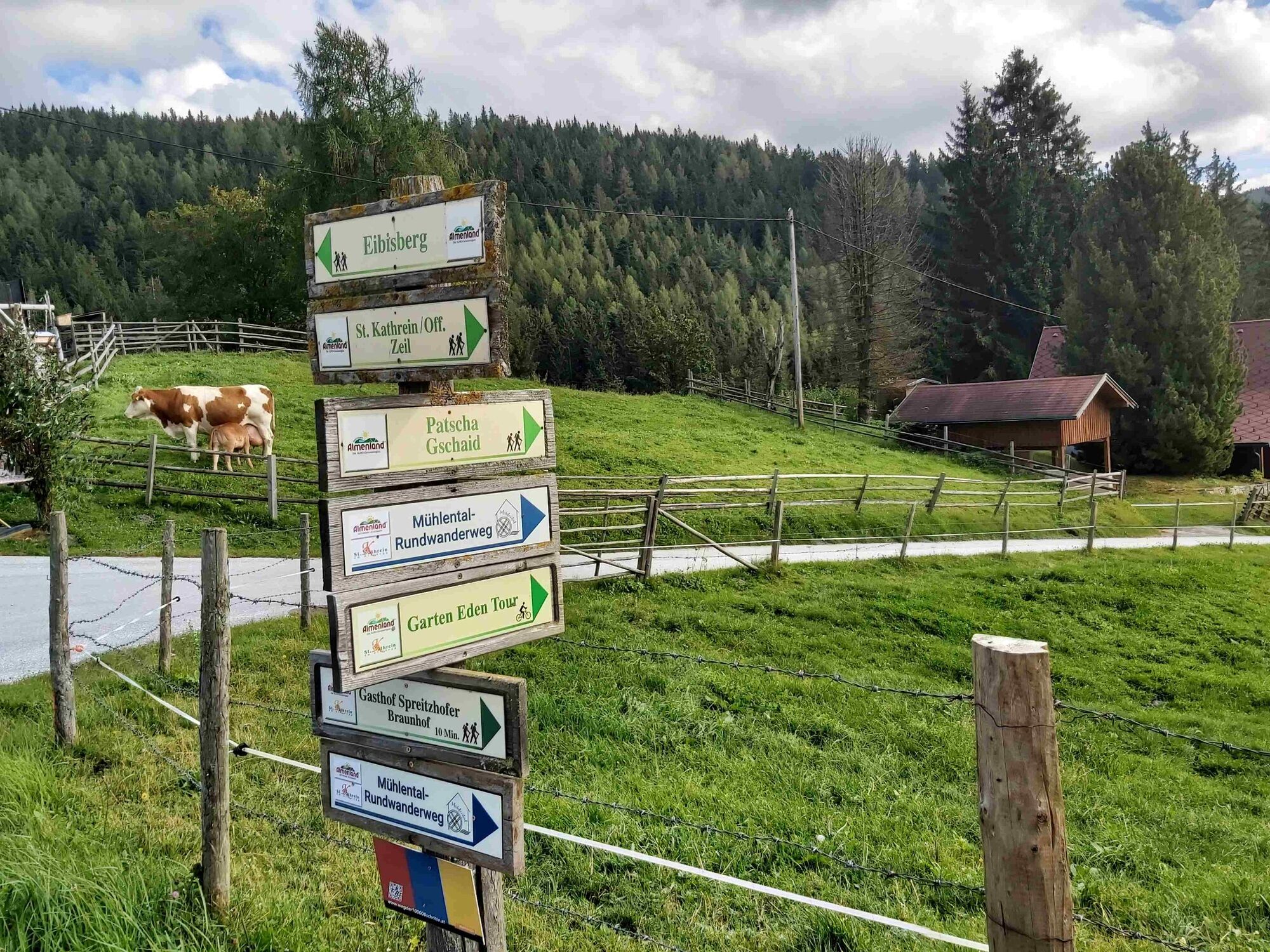
© TVB Oststeiermark - Christine Pollhammer

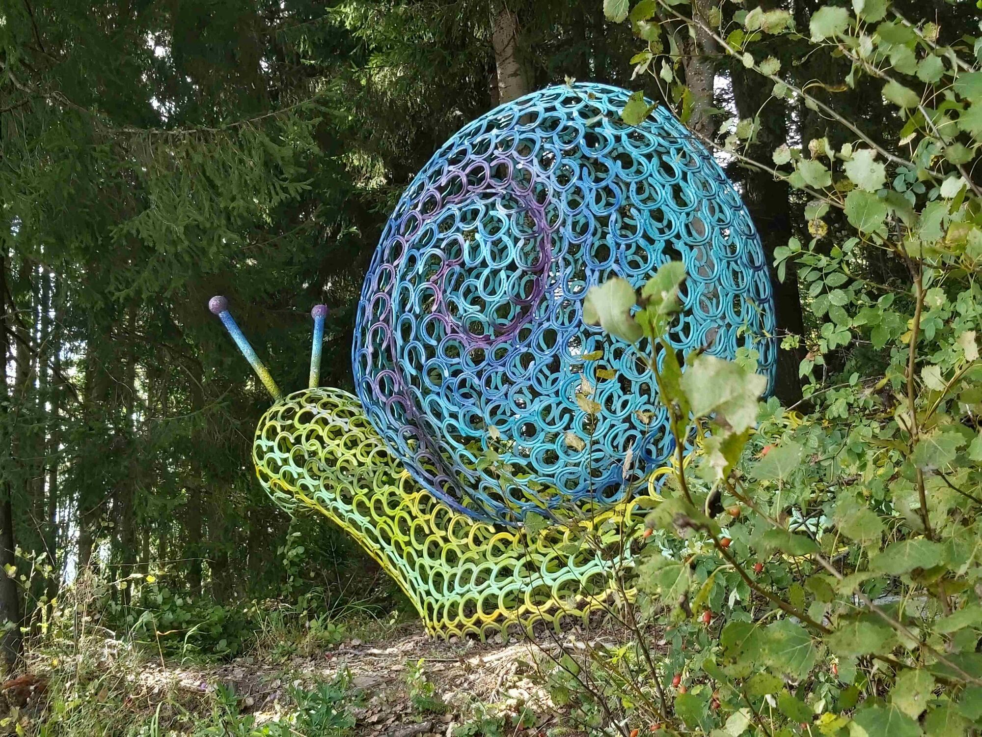
© TVB Oststeiermark - Christine Pollhammer

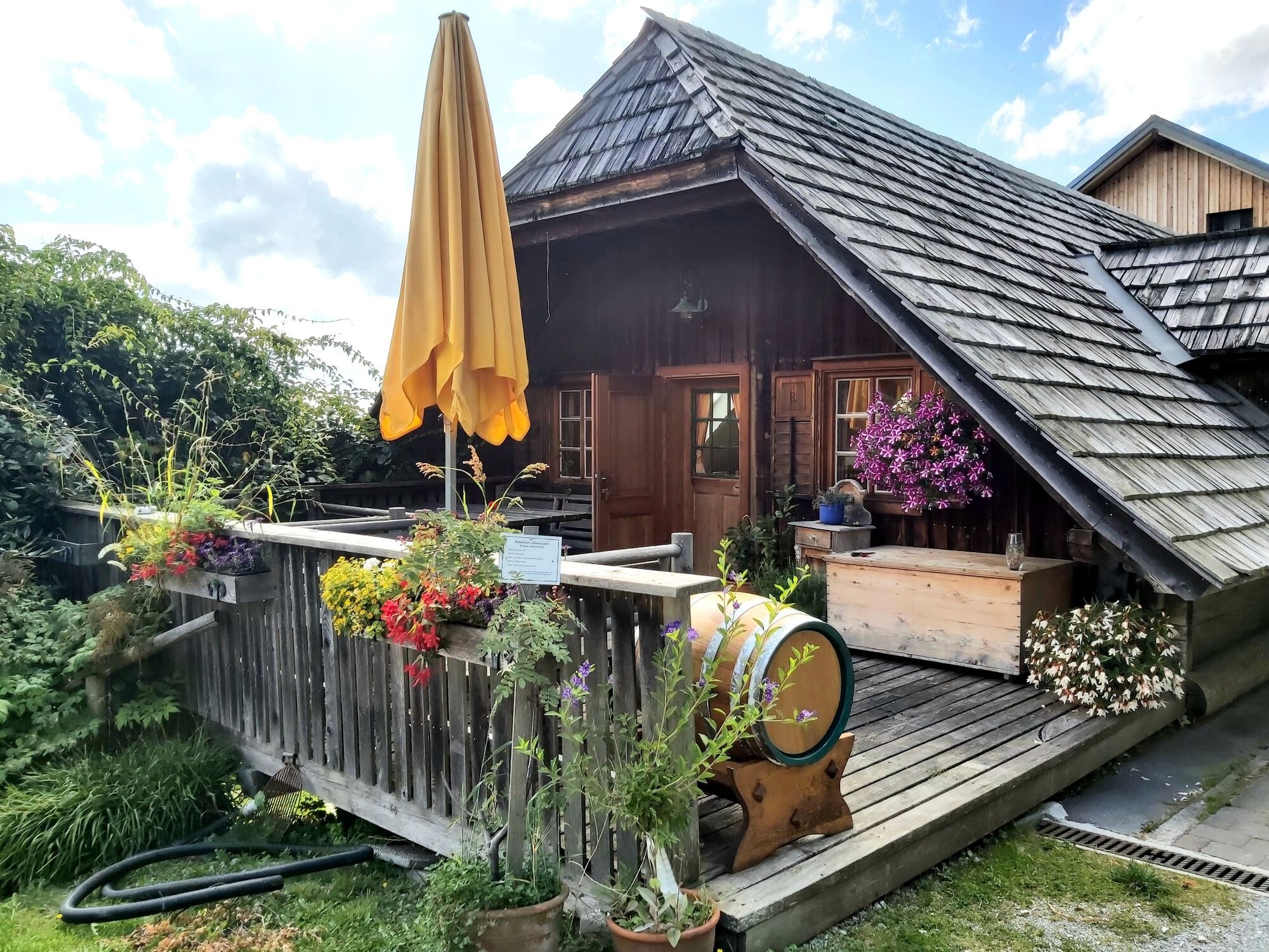
© TVB Oststeiermark - Christine Pollhammer

© TVB Oststeiermark - Christine Pollhammer

© TVB Oststeiermark - Christine Pollhammer

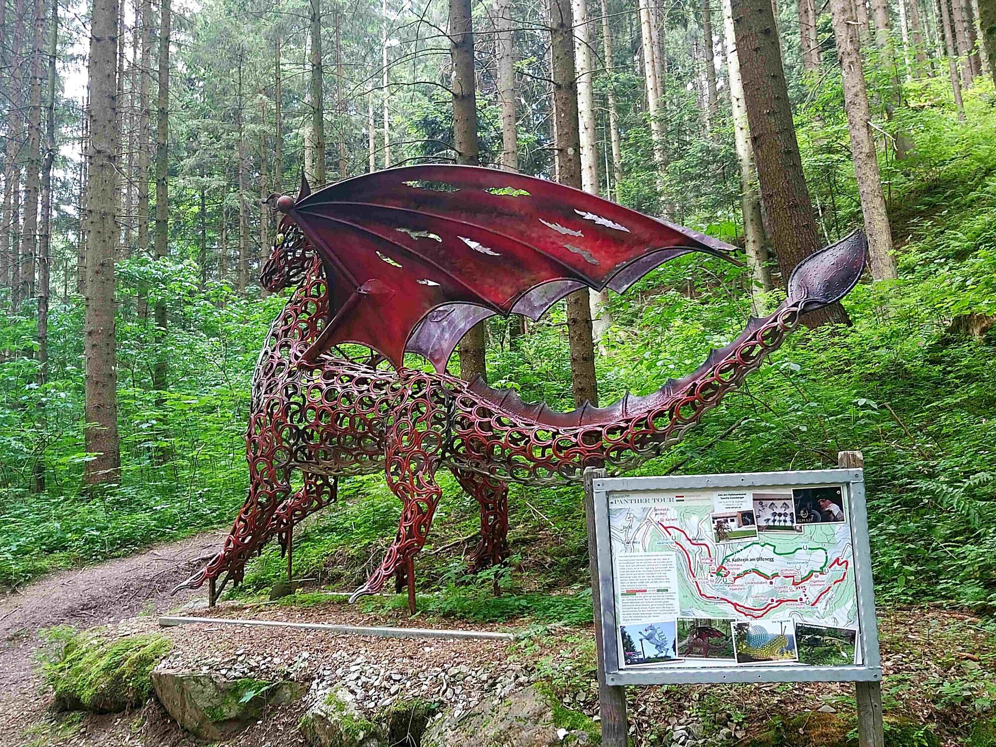
© TVB Oststeiermark - Christa Pollhammer

© TVB Oststeiermark - Christine Pollhammer

© TVB Oststeiermark - Christine Pollhammer
- Lyhyt kuvaus
-
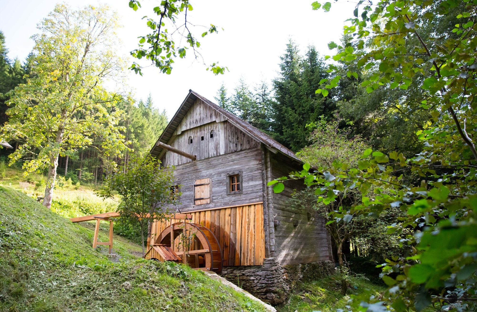
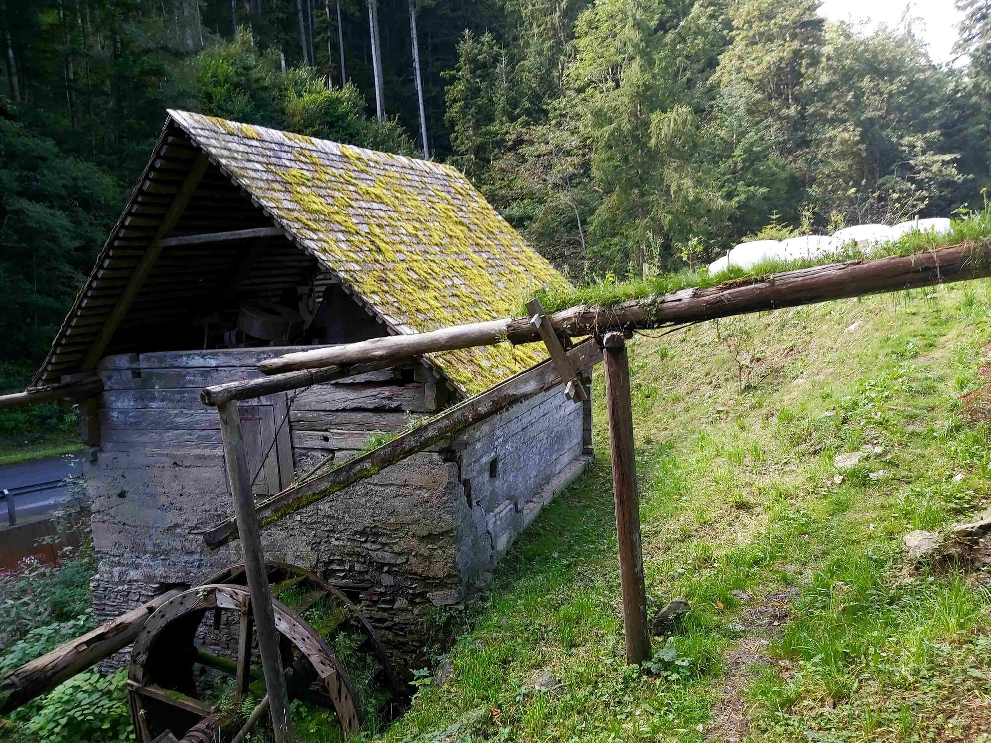
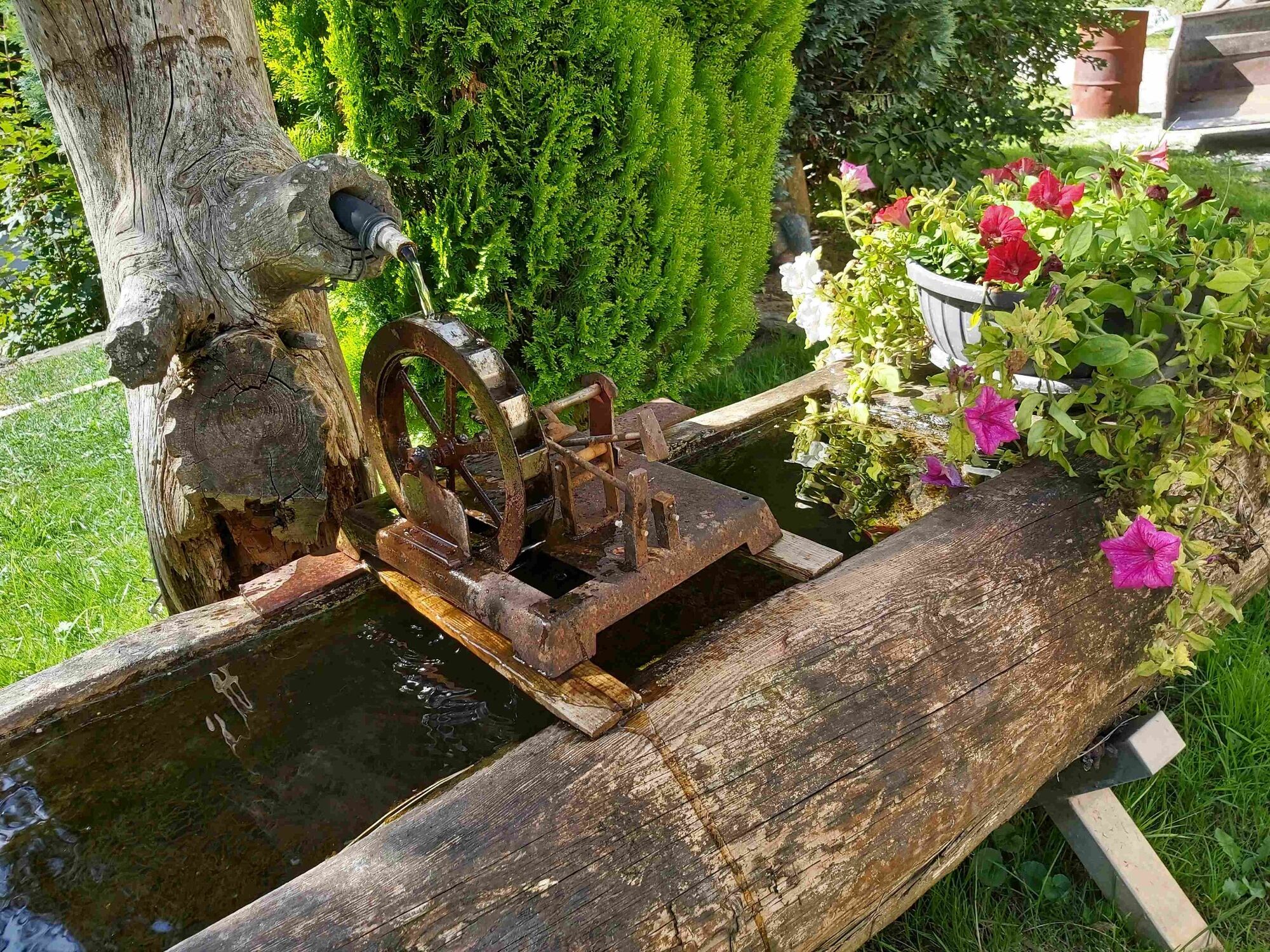
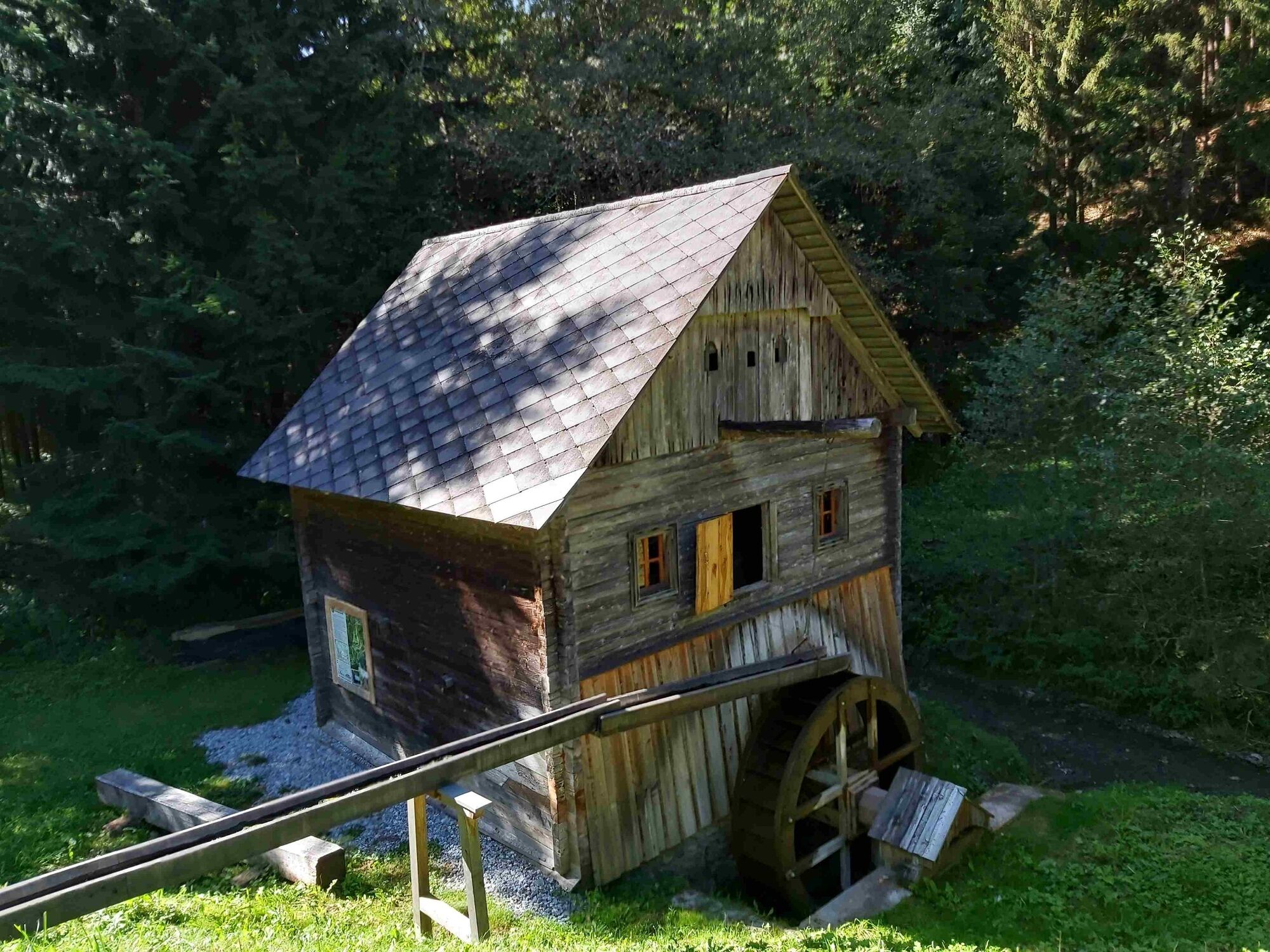
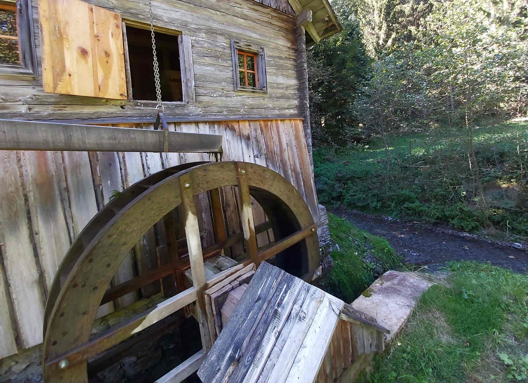
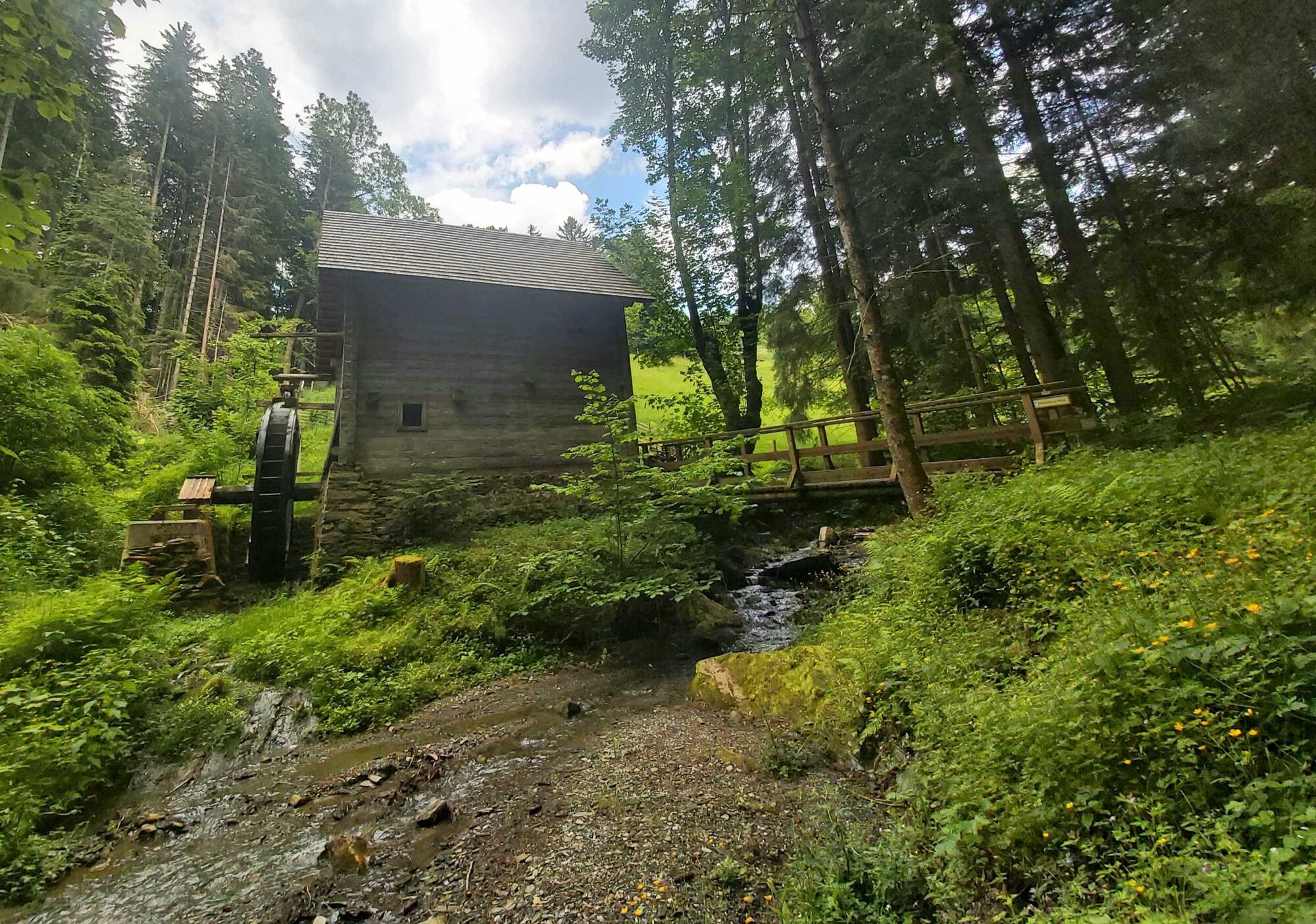
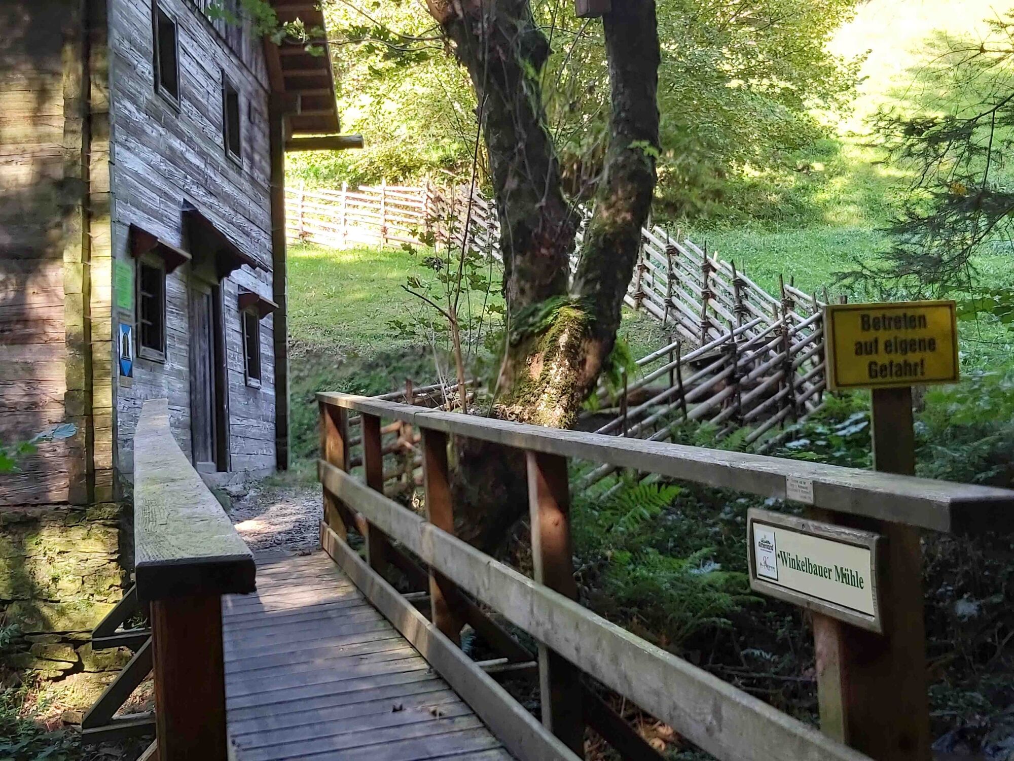
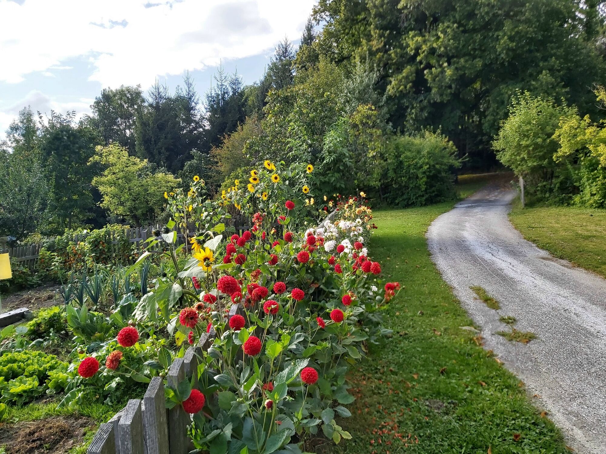
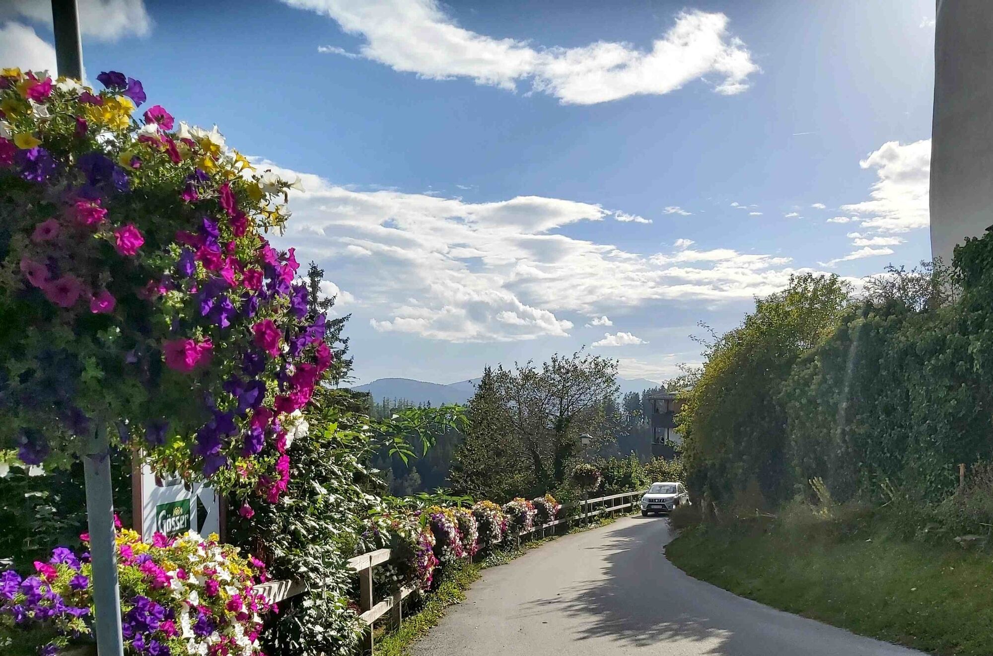
The Mühlental hiking trail leads through the Lambach valley, where there were once 102 mills. Today, only two of them are still intact.
- Vaikeus
-
tapa
- Arviointi
-
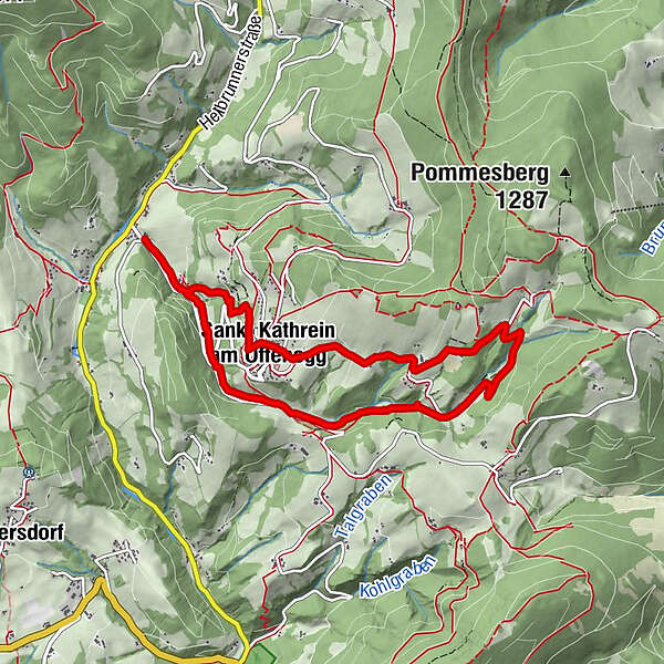
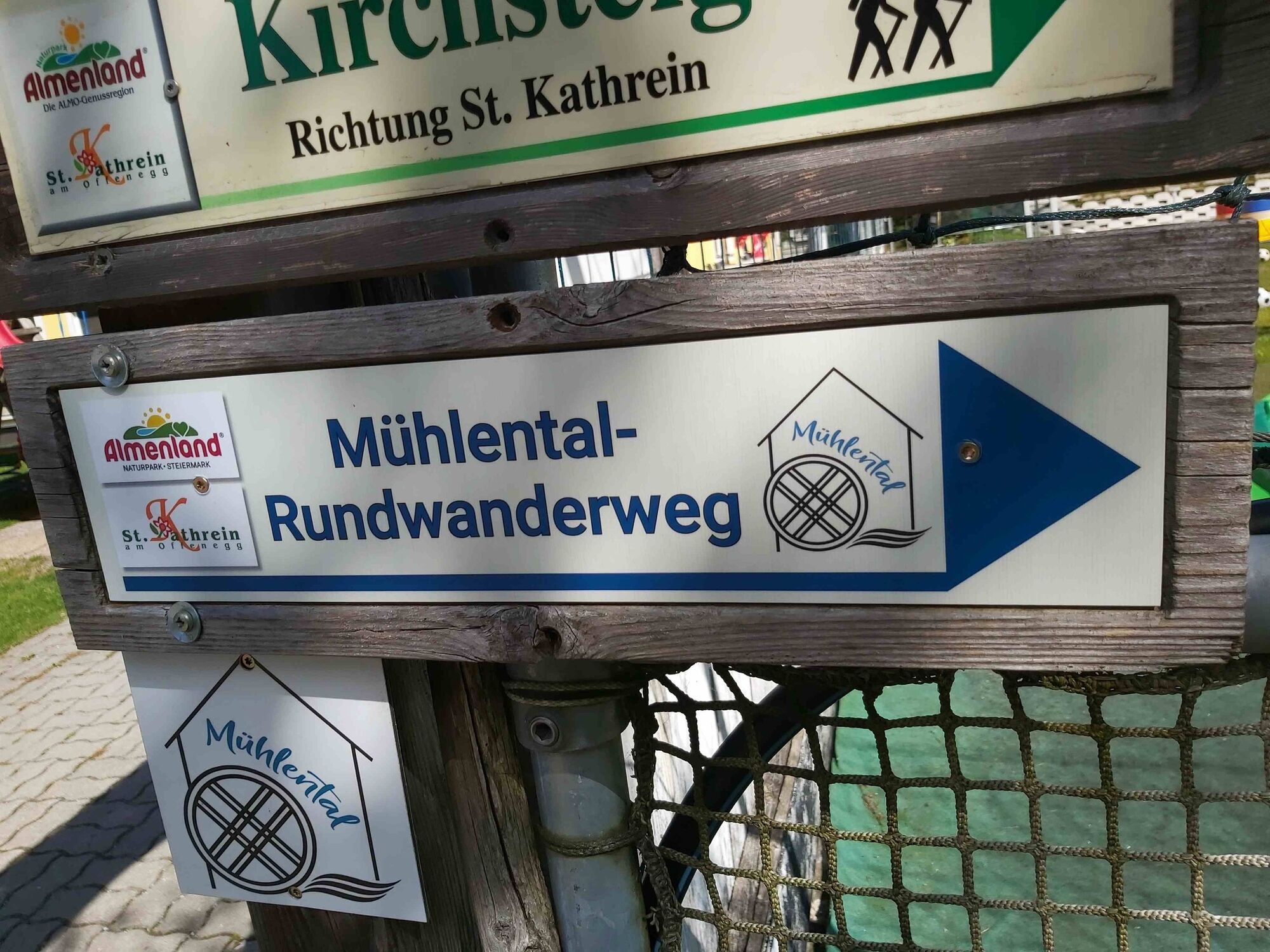
- Reitti
-
KarlwirtSchmied in der WeizSankt Kathrein am Offenegg1,7 kmLambach1,7 kmMühlental2,9 kmLindenstüberl6,0 kmLandgasthof Steinhauser6,7 kmSankt Kathrein am Offenegg6,9 kmDorf6,9 kmSchmied in der Weiz8,7 kmKarlwirt8,7 km
- Paras kausi
-
tammihelmimaalishuhtitoukokesäheinäelosyyslokamarrasjoulu
- Korkein kohta
- 1.072 m
- Kohde
-
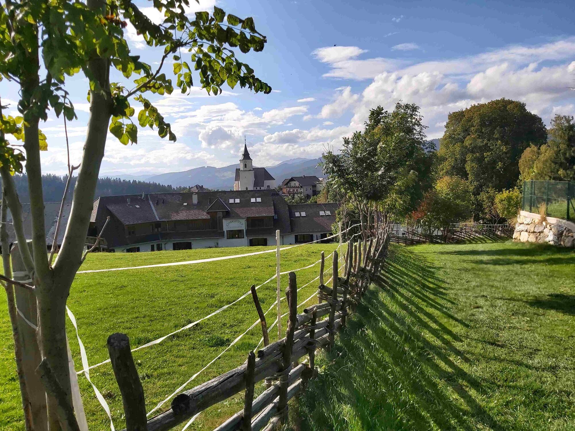
Karl-Wirt, Schmied in der Weiz
- Korkeusprofiili
-


-

-
KirjoittajaKiertue Mühlental - circular trail, St. Kathrein/O. käyttää outdooractive.com toimitettu.
GPS Downloads


Yleistä tietoa
Virvokepysäkki
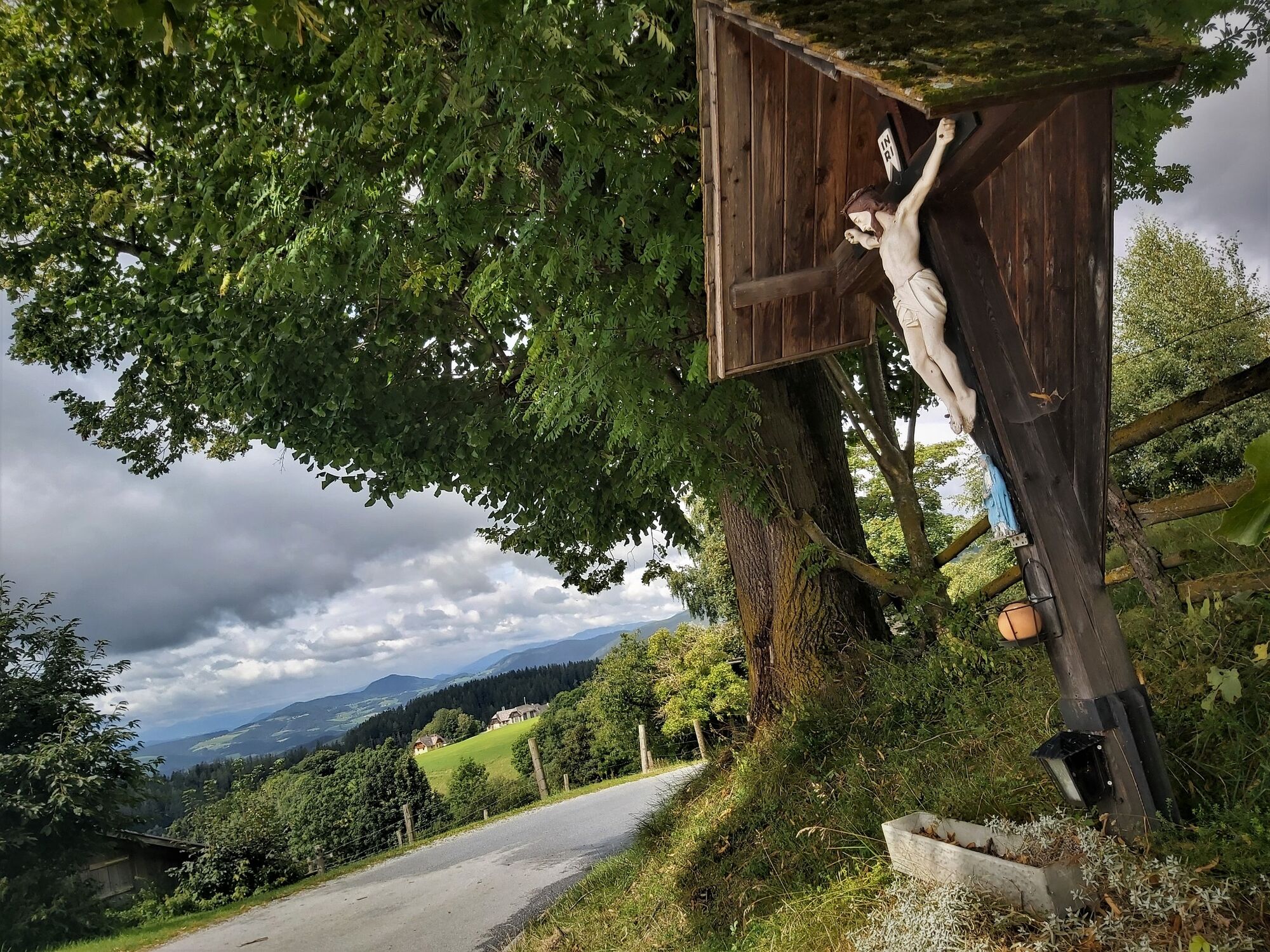
Kulttuuri/Historiallinen
Flora
Lupaava
Lisää retkiä alueilla
-
Hochsteiermark
4082
-
Naturpark Almenland
1767
-
St. Kathrein am Offenegg
477


