

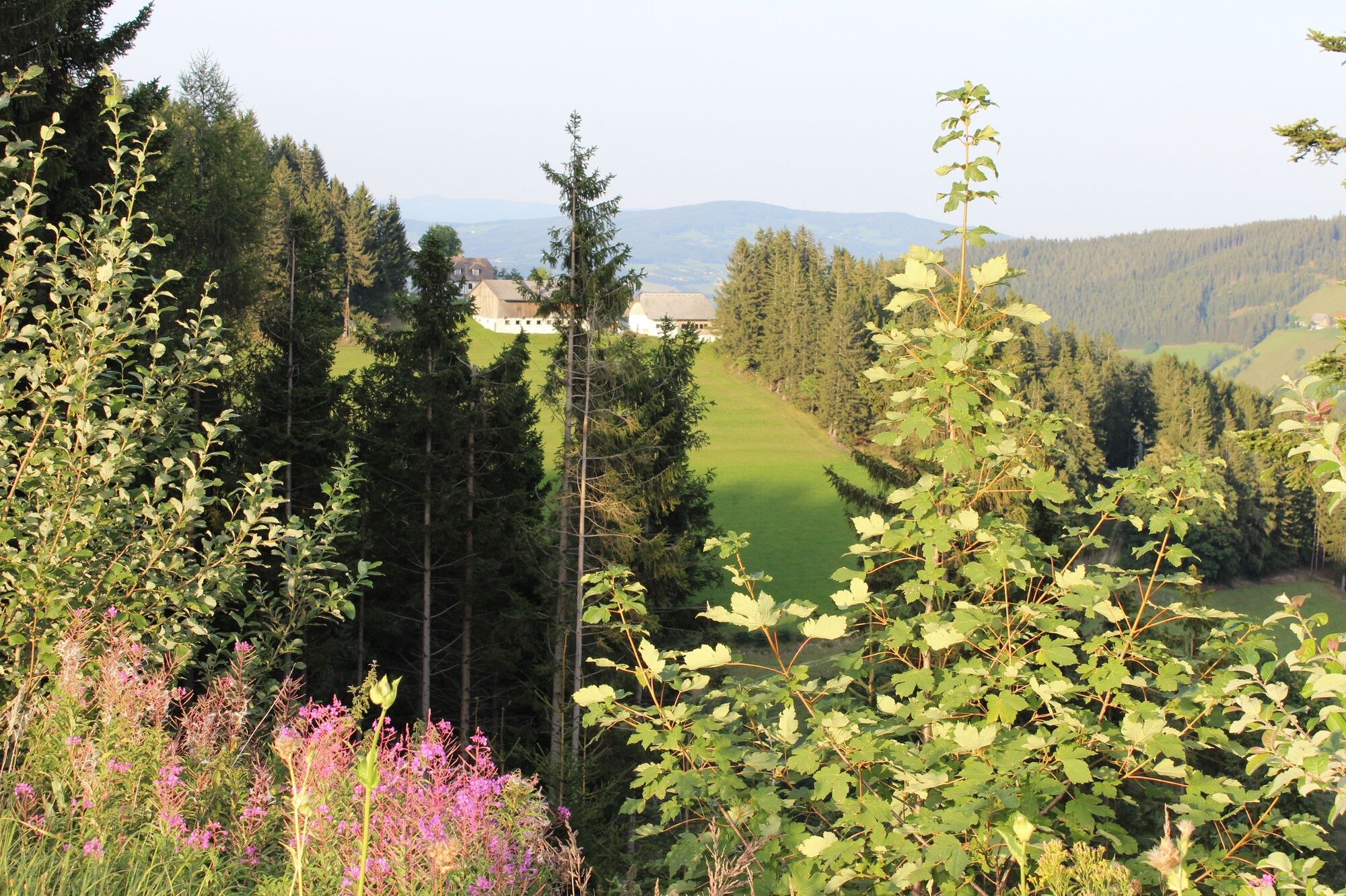
© TVB Oststeiermark - Christine Pollhammer

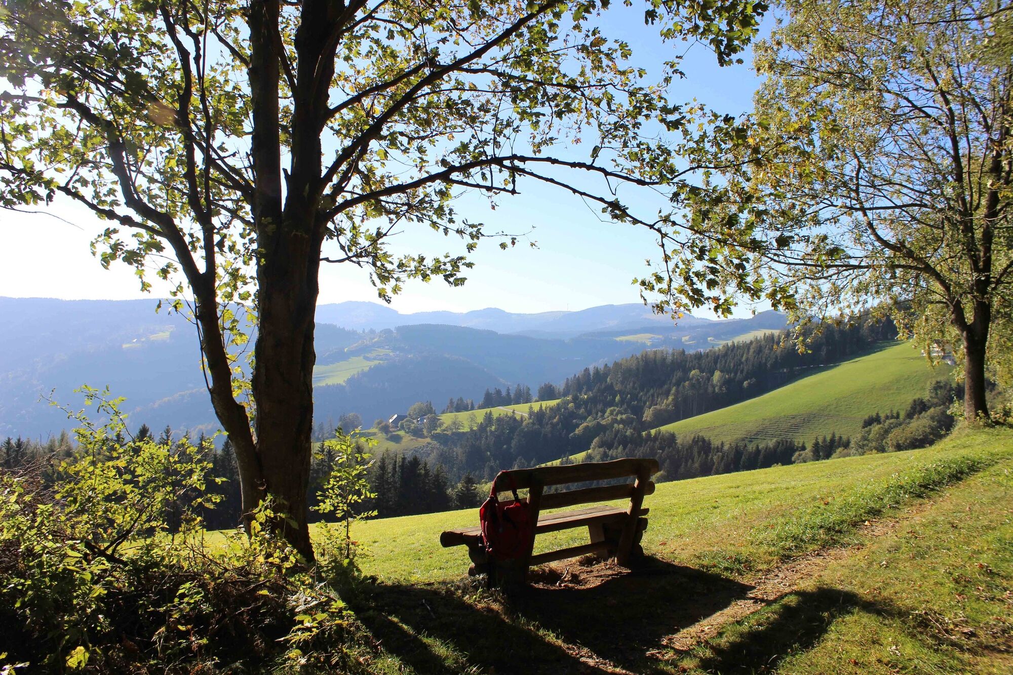
© TVB Oststeiermark - Christine Pollhammer

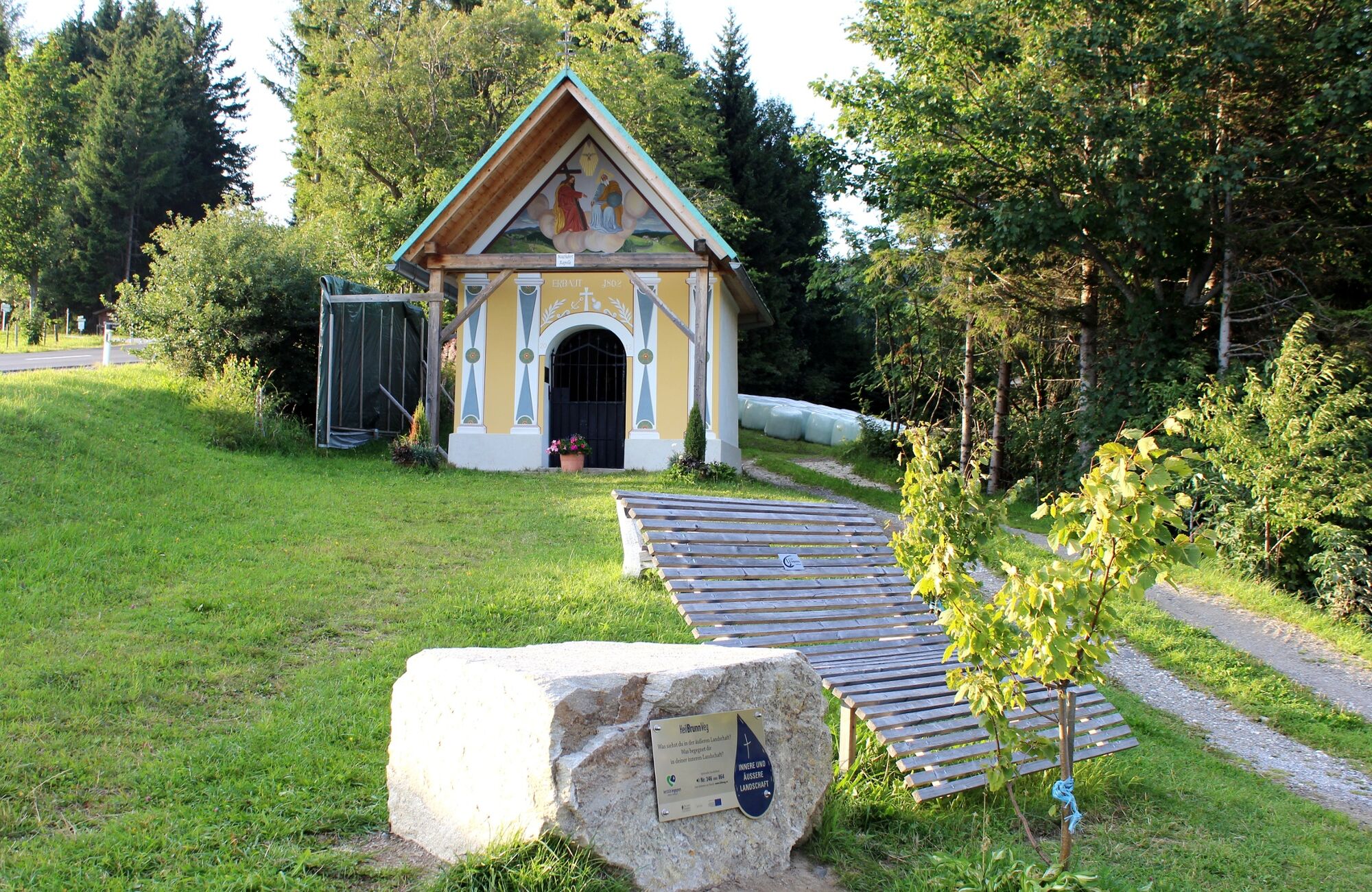
© TVB Oststeiermark - Tourismusverband Oststeiermark

© TVB Oststeiermark - Christine Pollhammer

© TVB Oststeiermark - Christa Pollhammer
- Lyhyt kuvaus
-
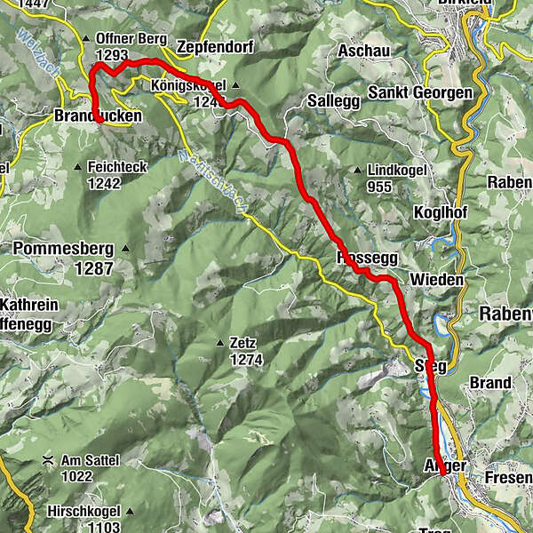
From the Brandlucken over meadows and through forests down to the beautiful market town of Anger - always with a great view!
- Vaikeus
-
tapa
- Arviointi
-
- Reitti
-
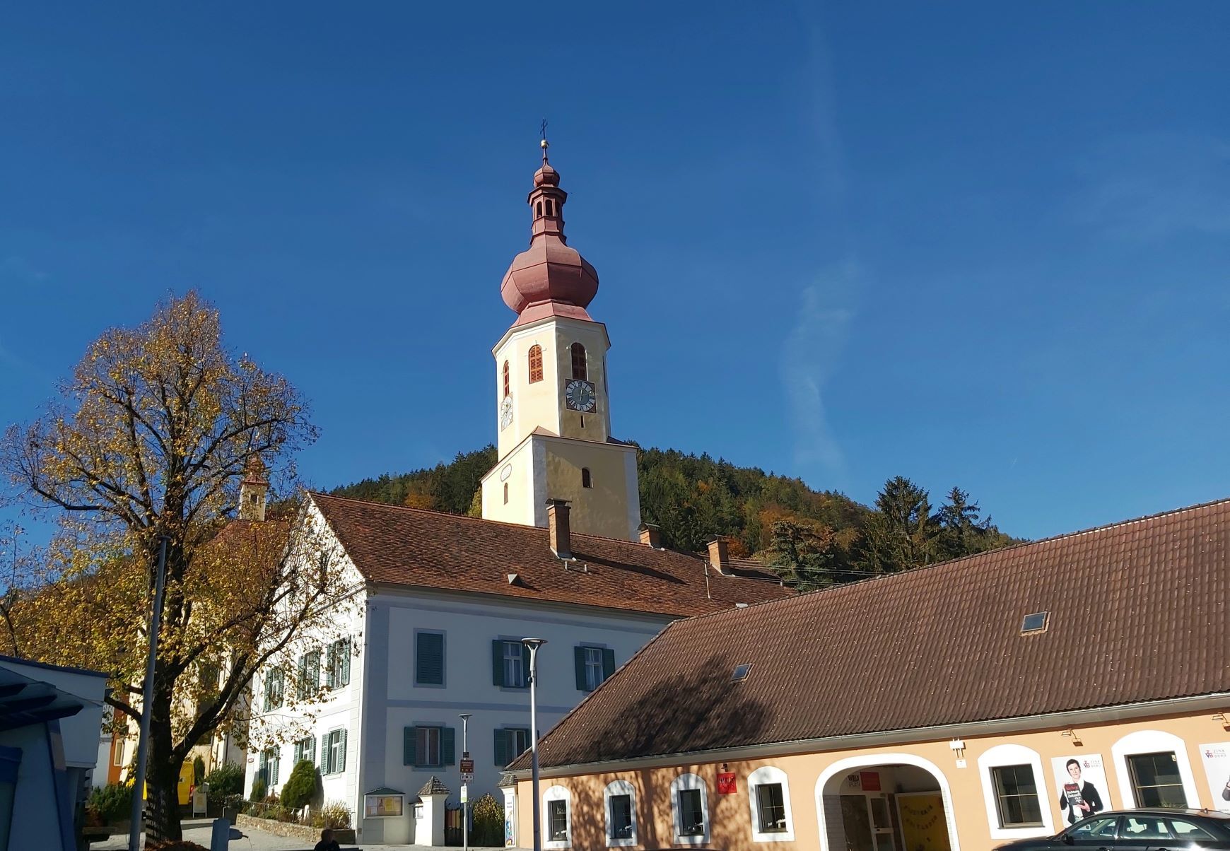
Gasthof Zur schönen AussichtBrandlucken0,1 kmGasthof Jagawirt0,1 kmEgger5,9 kmGrub7,3 kmRossegg9,1 kmSteg11,8 kmAnger13,8 kmPfarrkirche hl. Andreas13,9 km
- Paras kausi
-
tammihelmimaalishuhtitoukokesäheinäelosyyslokamarrasjoulu
- Korkein kohta
- 1.151 m
- Kohde
-
Anger
- Korkeusprofiili
-


-

-
KirjoittajaKiertue Brandlucken-Anger across the Königskogel käyttää outdooractive.com toimitettu.
GPS Downloads


Yleistä tietoa
Virvokepysäkki
Kulttuuri/Historiallinen
Sisäpiirin vinkki
Lupaava
Lisää retkiä alueilla
-
Hochsteiermark
4082
-
Naturpark Almenland
1767
-
Koglhof
420


