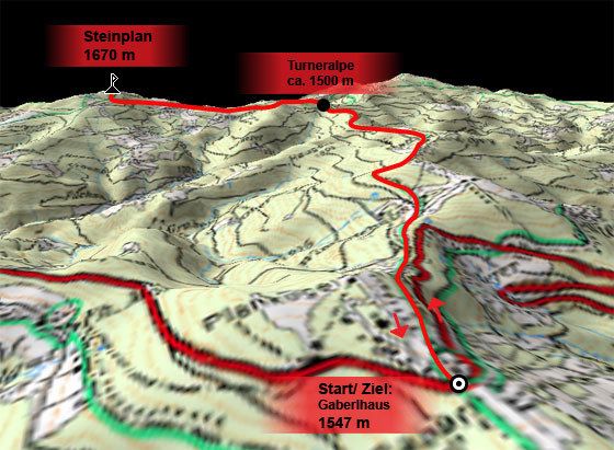
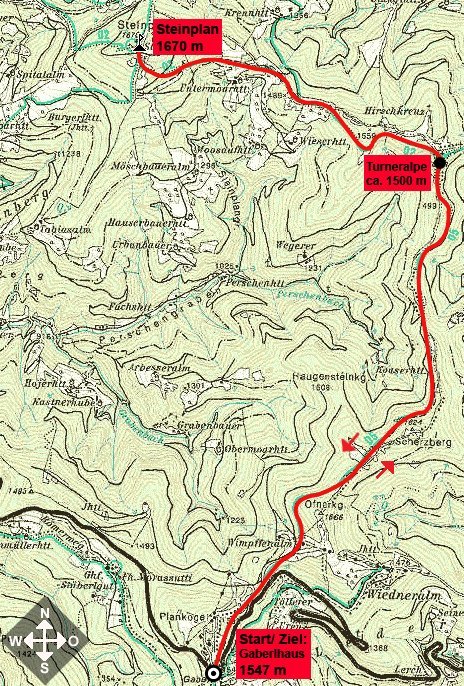
Retkitiedot
10,4km
1.424
- 1.651m
702hm
702hm
06:30h
- Lyhyt kuvaus
-
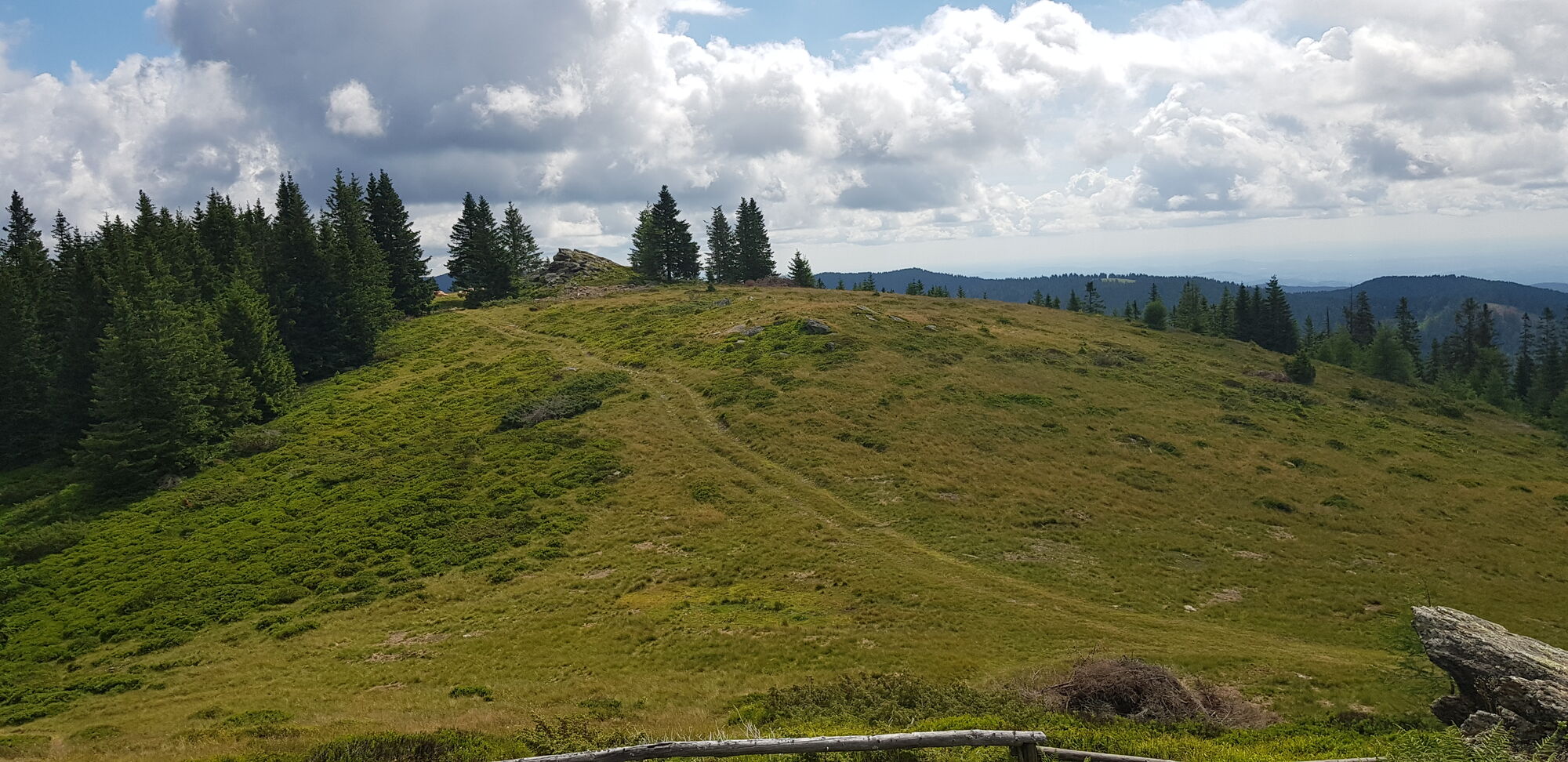
Schöne Wanderung mit prachtvollem Ausblick vom Gipfel!
- Vaikeus
-
tapa
- Arviointi
-
- Lähtöpiste
-
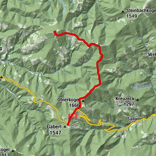
Gaberlhaus (1547 m)
- Reitti
-
Gaberlhaus0,0 kmScherzberg (1.624 m)3,5 kmSteinplan (1.670 m)10,2 kmSteinplan Schutzhaus10,4 km
- Paras kausi
-
tammihelmimaalishuhtitoukokesäheinäelosyyslokamarrasjoulu
- Korkein kohta
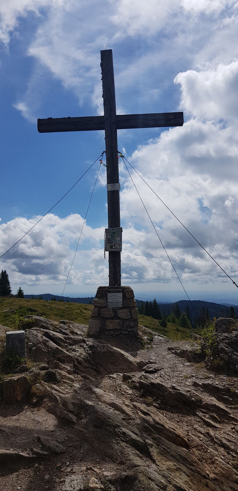
- Steinplan (1.651 m)
- Lepo/Retriitti
-
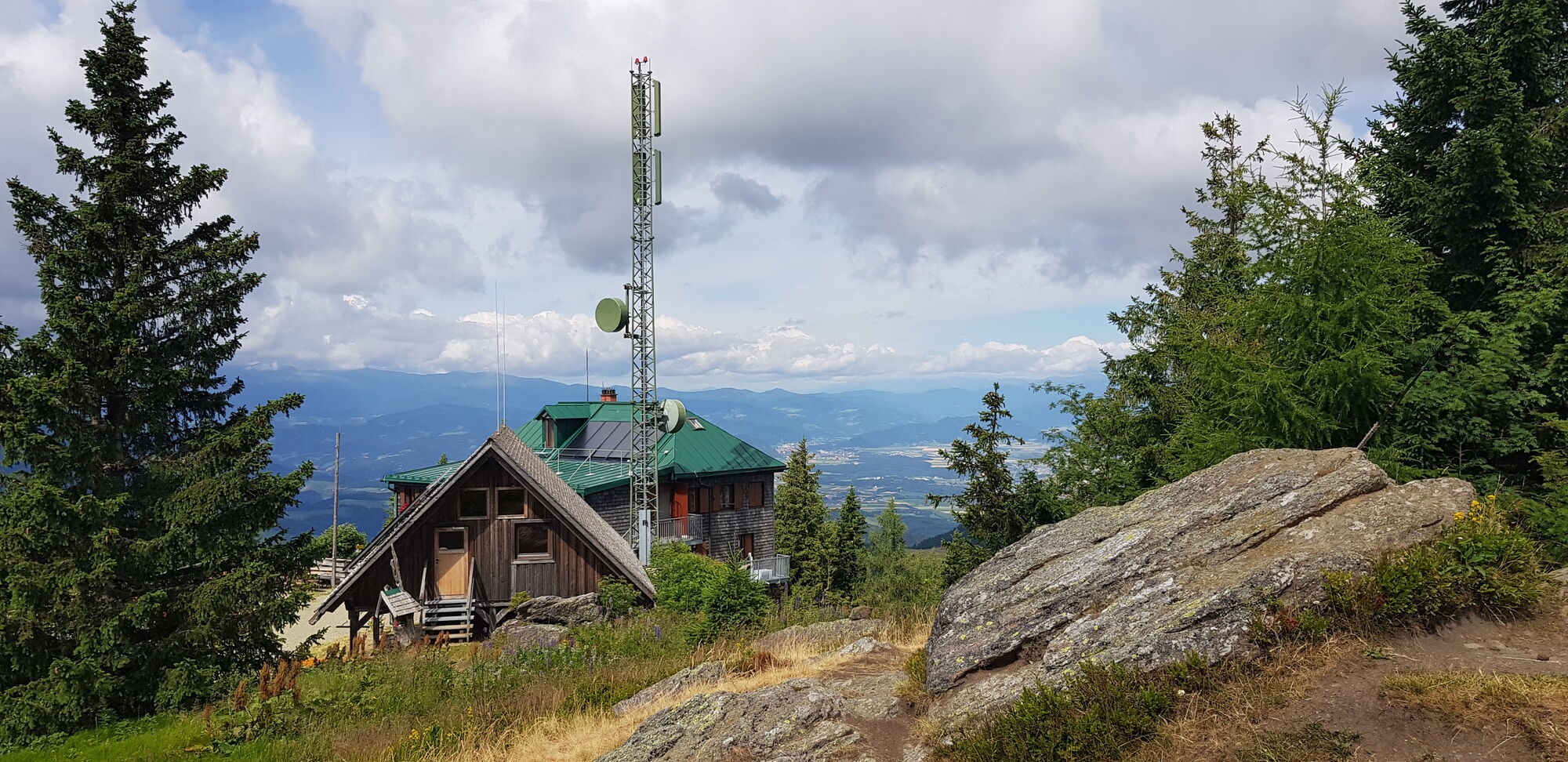
Steinplan Schutzhaus
- Karttamateriaali
GPS Downloads


Polun olosuhteet
Asfaltti
Sora
Niitty
Metsä
Kallio
Altistettu
Lisää retkiä alueilla