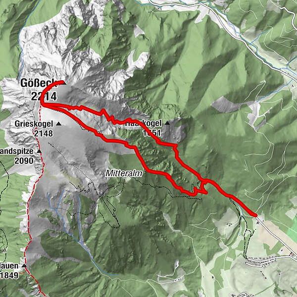
Retkitiedot
11,6km
900
- 2.182m
1.282hm
1.281hm
06:00h
- Lyhyt kuvaus
-
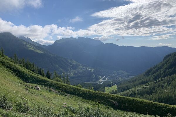
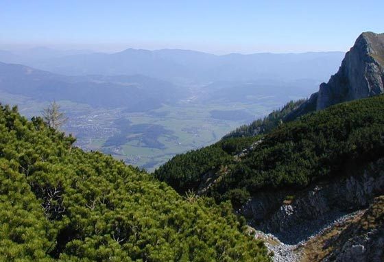
Lohnende Tour auf den höchsten Berg der Eisenerzer Alpen.
- Vaikeus
-
tapa
- Arviointi
-
- Lähtöpiste
-
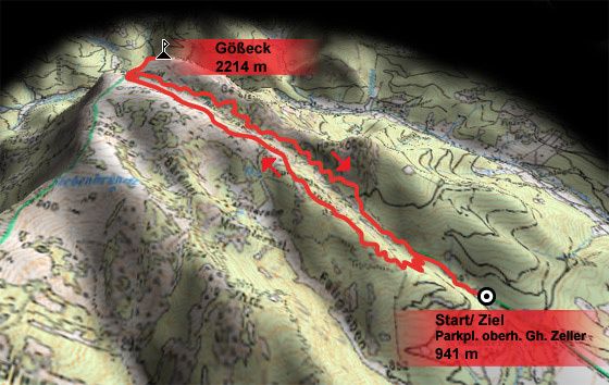
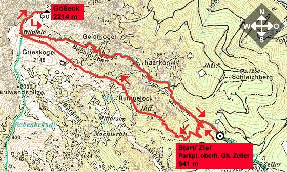
Parkplatz Gehöft Zeller oberhalb von Schardorf/ Gemeinde Gail (941 m)
- Reitti
-
Gößeck (2.214 m)5,8 km
- Paras kausi
-
tammihelmimaalishuhtitoukokesäheinäelosyyslokamarrasjoulu
- Korkein kohta
- 2.182 m
- Lepo/Retriitti
-
Keine Versorgungspunkte/ Hütten vorhanden. Ausreichend Verpflegung und Getränke mitnehmen!
- Karttamateriaali


GPS Downloads


Polun olosuhteet
Asfaltti
Sora
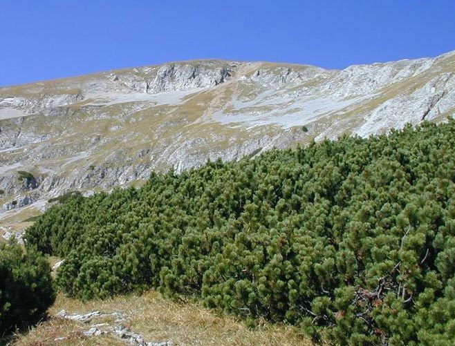
Niitty
Metsä
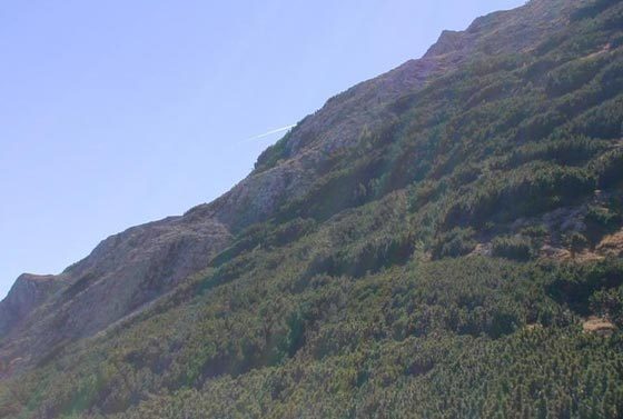
Kallio
Altistettu
Lisää retkiä alueilla
-
Erzberg Leoben
2530
-
Hochschwab
1272
-
Kammern im Liesingtal
220