Stage 13 From Glacier to Wine North Route Eisenerz - Hochschwab Sonnscheinalm


- Lyhyt kuvaus
-
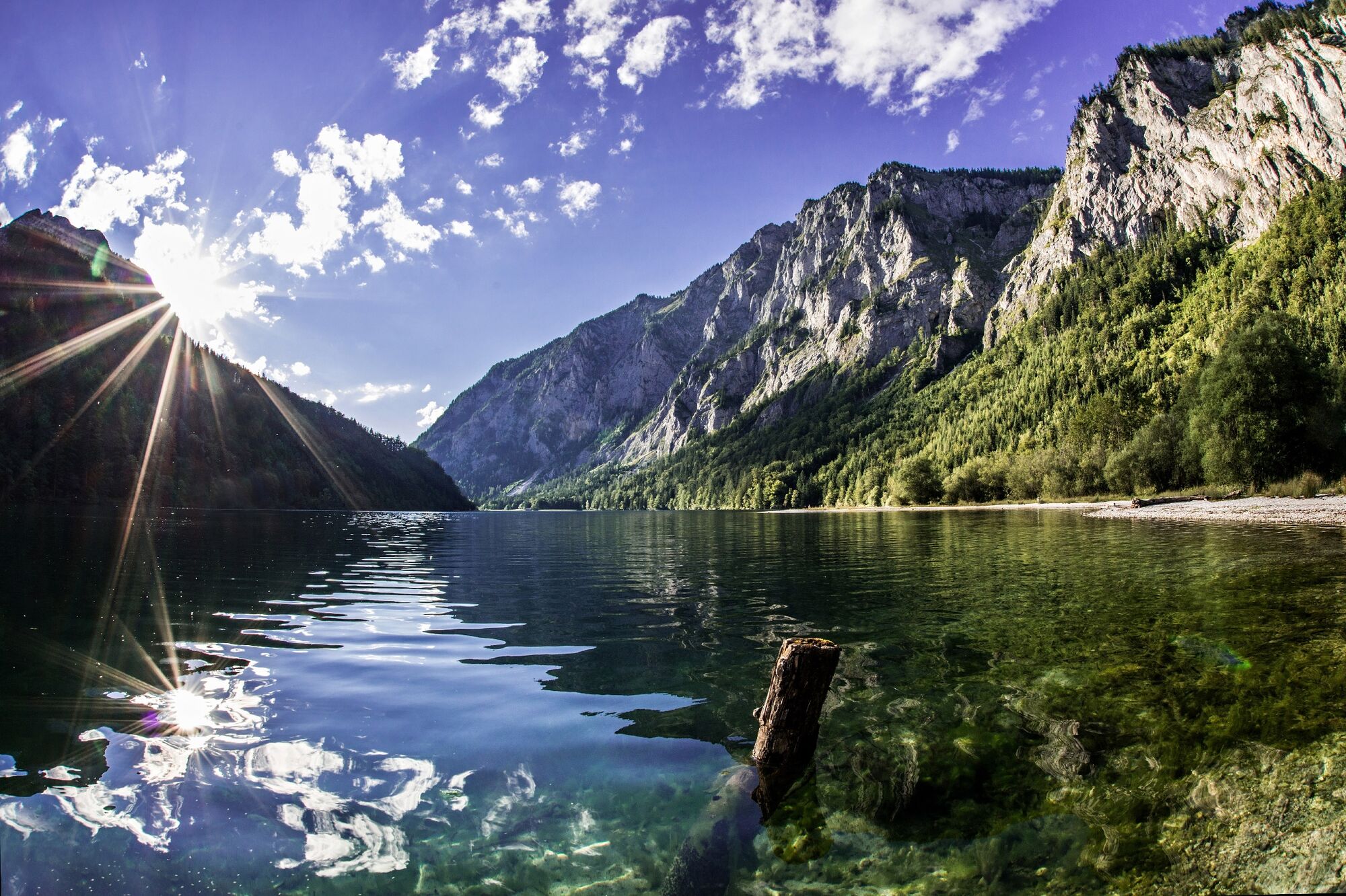
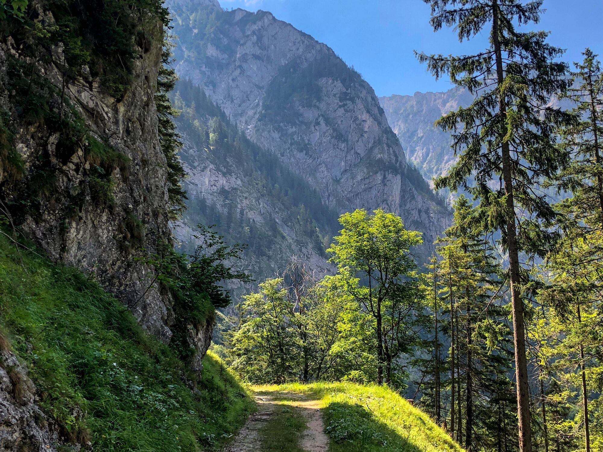
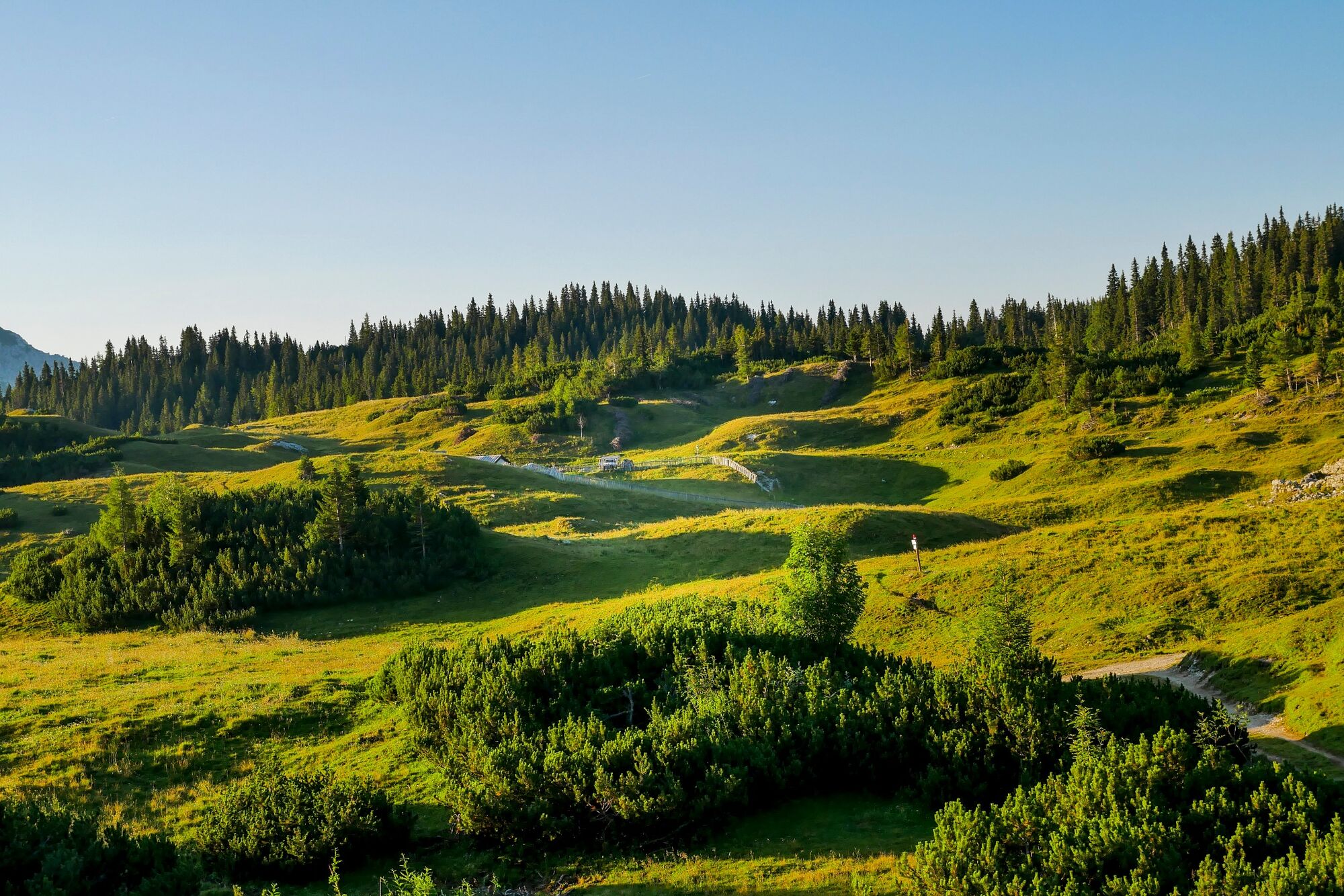
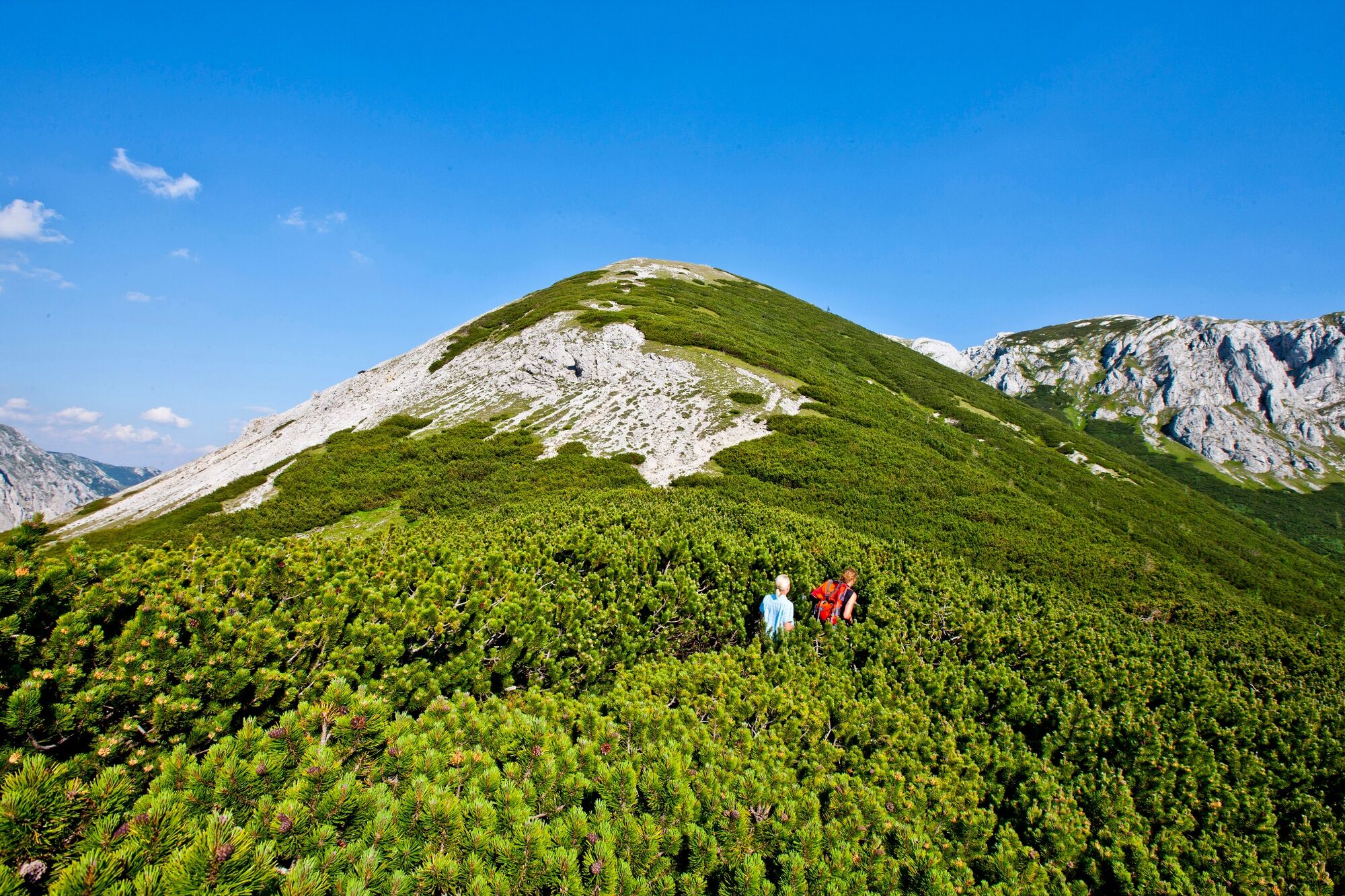
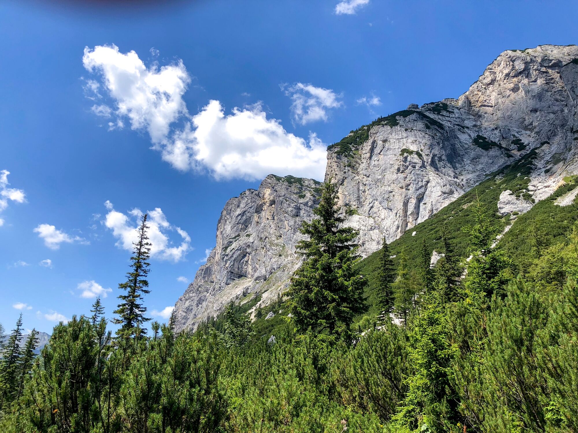
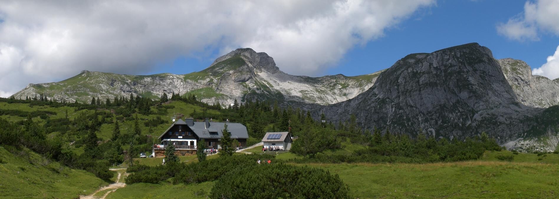
The tour takes us to one of the most enchanting mountain landscapes in the Alpine region, the Hochschwab. From the historic mining town of Eisenerz, the route takes us via the natural jewel of Lake Leopoldstein right into the middle of the mountain range with the most chamois in Europe, which is also known to impress with an incredible variety of flowers. The destination of this stage of the hiking route From Glacier to Wine is the Sonnschienalm, which is one of the most popular hut destinations in Styria with its numerous huts and the large Sonnschienalmhütte. One of the most popular starting points for a day hike to the Sonnschienalm is the Green Lake in Tragöß, which was voted the most beautiful place in the Alpine Republic by Austrians in 2014.
- Vaikeus
-
tapa
- Arviointi
-
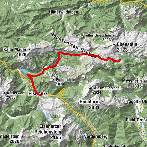
- Reitti
-
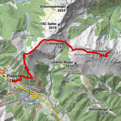
Eisenerz0,4 kmProssen1,6 kmKlamm8,1 kmHinterseeaugraben9,2 kmIm Schuss10,4 kmAndrothörl17,0 kmAndrothalm17,5 kmIn der Bildstatt18,7 kmSonnschienhütte21,0 km
- Paras kausi
-
tammihelmimaalishuhtitoukokesäheinäelosyyslokamarrasjoulu
- Korkein kohta
- 1.612 m
- Kohde
-
Sonnschienalm
- Korkeusprofiili
-


-

-
KirjoittajaKiertue Stage 13 From Glacier to Wine North Route Eisenerz - Hochschwab Sonnscheinalm käyttää outdooractive.com toimitettu.


Yleistä tietoa
-
Erzberg Leoben
2529
-
Hochschwab
1272
-
Präbichl
386

 & Kaiserschild (rechts)")


