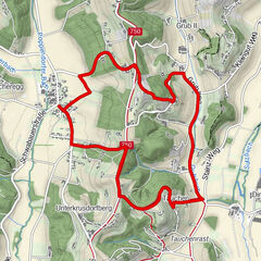
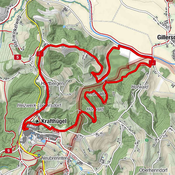
Floodplain & Shore Trail (Au & Uferweg) - Short Variant / Trail 8


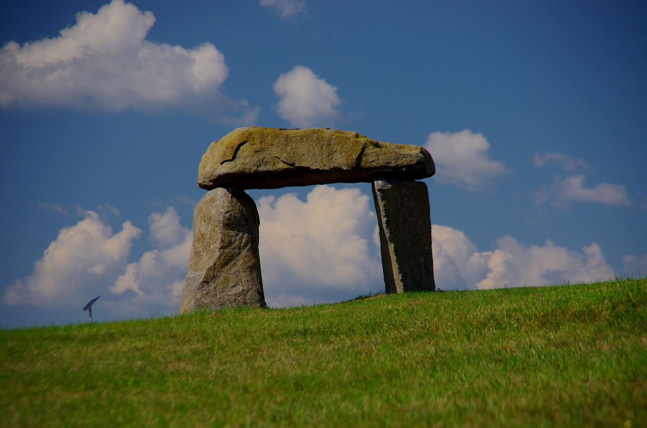
© Erlebnisregion Thermen- & Vulkanland - Jörg Liemandt

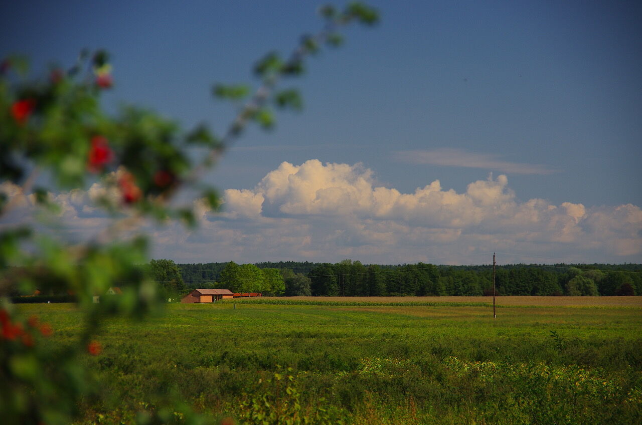
© Erlebnisregion Thermen- & Vulkanland - Jörg Liemandt

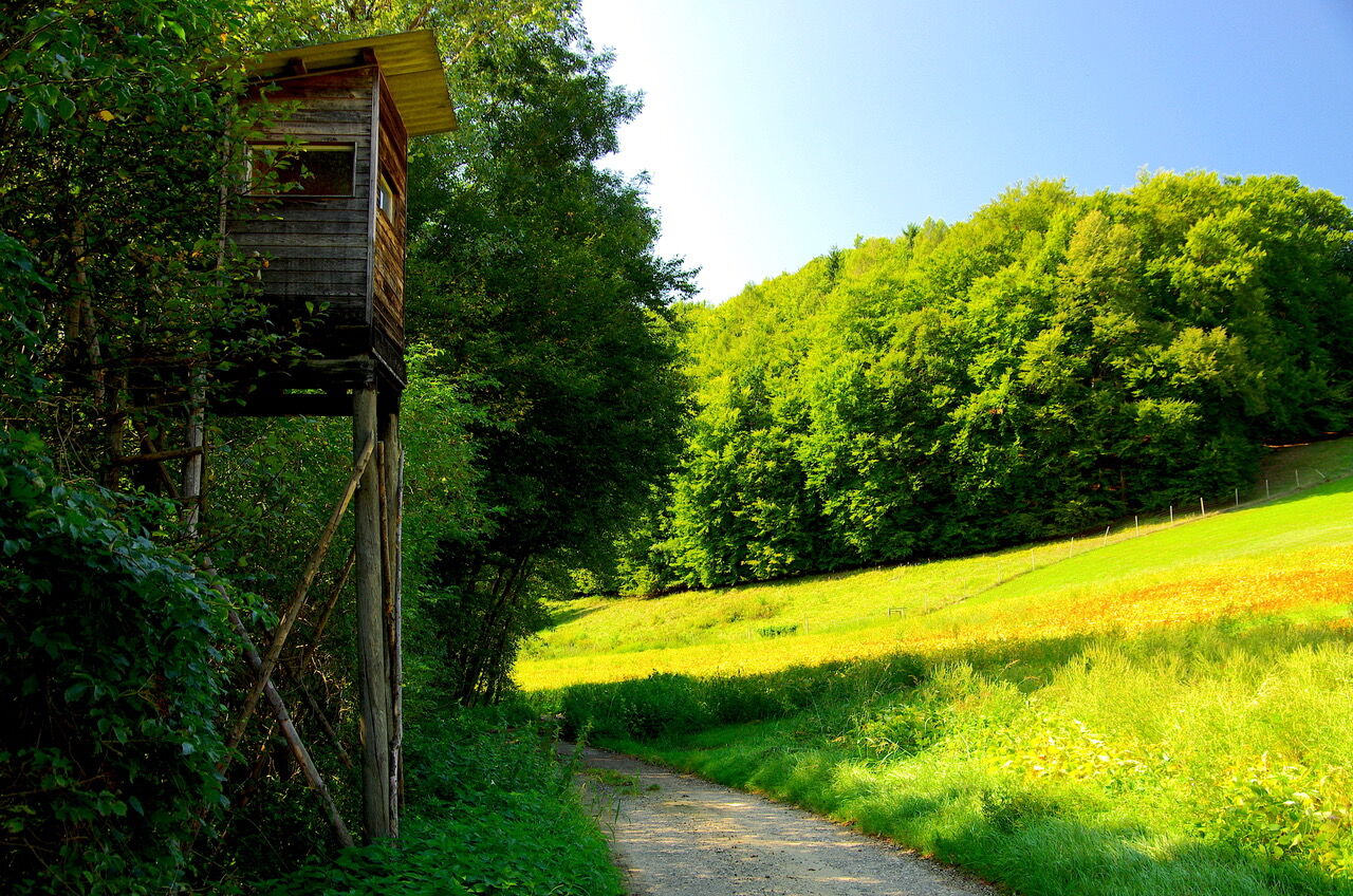
© Erlebnisregion Thermen- & Vulkanland - Jörg Liemandt

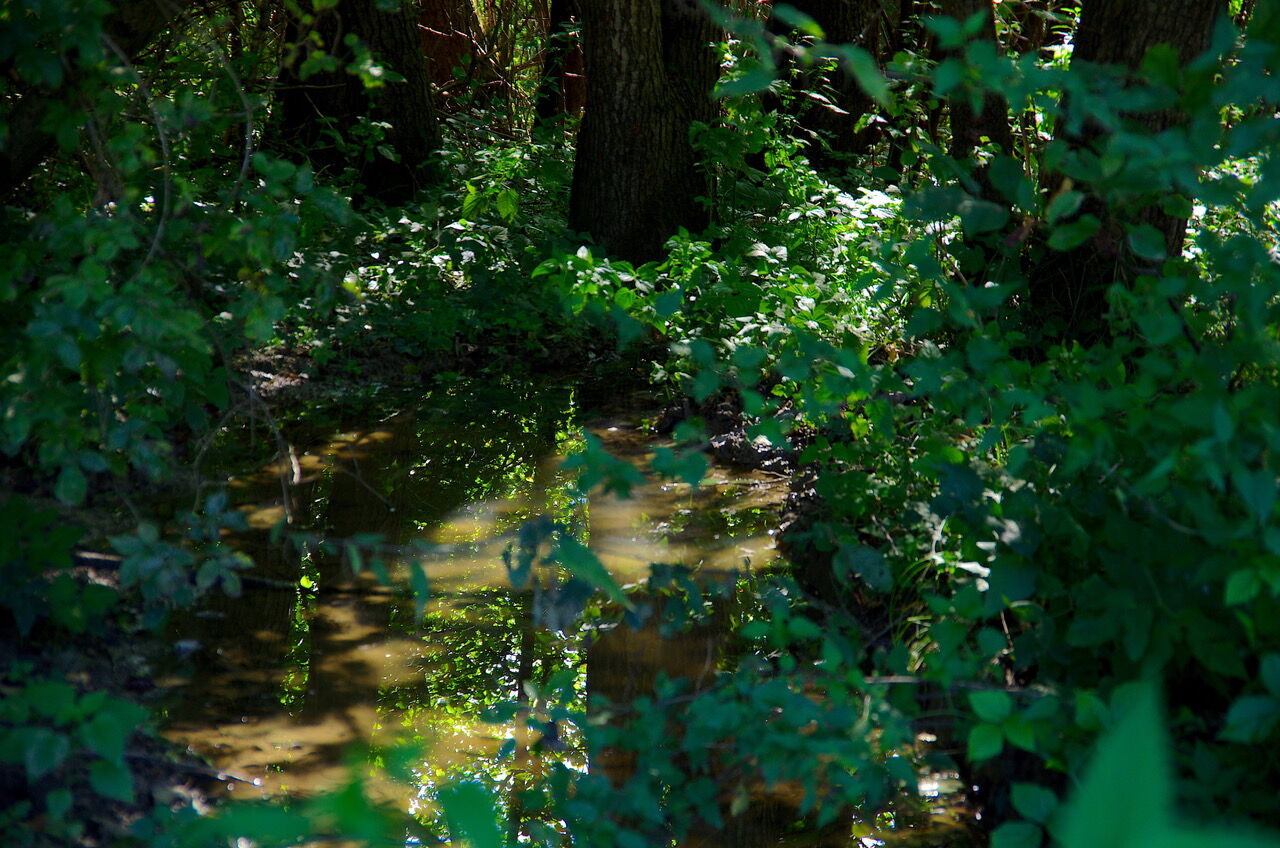
© Erlebnisregion Thermen- & Vulkanland - Jörg Liemandt

© Erlebnisregion Thermen- & Vulkanland - Jörg Liemandt

© Erlebnisregion Thermen- & Vulkanland - Jörg Liemandt

© Erlebnisregion Thermen- & Vulkanland - Jörg Liemandt

© Erlebnisregion Thermen- & Vulkanland - Jörg Liemandt

© Erlebnisregion Thermen- & Vulkanland - Jörg Liemandt

© Erlebnisregion Thermen- & Vulkanland - Jörg Liemandt
- Lyhyt kuvaus
-
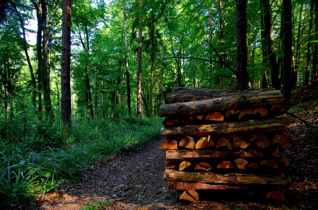
The short tour leads through long forest to the Rittschein (long variant also leads to the Feistritz).
- Vaikeus
-
tapa
- Arviointi
-
- Reitti
-
Gillersdorf3,6 kmHartbergen6,9 kmLauten7,4 km
- Paras kausi
-
tammihelmimaalishuhtitoukokesäheinäelosyyslokamarrasjoulu
- Korkein kohta
- 354 m
- Kohde
-
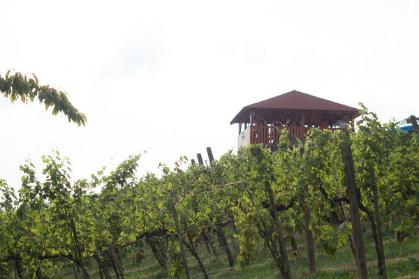
Thermal spa Loipersdorf
- Korkeusprofiili
-


-

-
KirjoittajaKiertue Floodplain & Shore Trail (Au & Uferweg) - Short Variant / Trail 8 käyttää outdooractive.com toimitettu.
GPS Downloads


Yleistä tietoa
Virvokepysäkki
Lupaava
Lisää retkiä alueilla
-
Thermen- & Vulkanland
1324
-
Loipersdorf bei Fürstenfeld
463
-
Loipersdorf
113