© Oststeiermark Tourismus - Helmut Schweighofer

© Oststeiermark Tourismus - Alfred Mayer

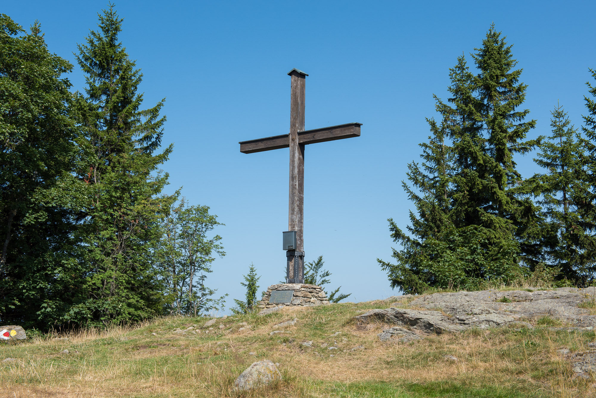
© Oststeiermark Tourismus - Helmut Schweighofer
- Lyhyt kuvaus
- Vaikeus
-
vaikea
- Arviointi
-
- Reitti
-
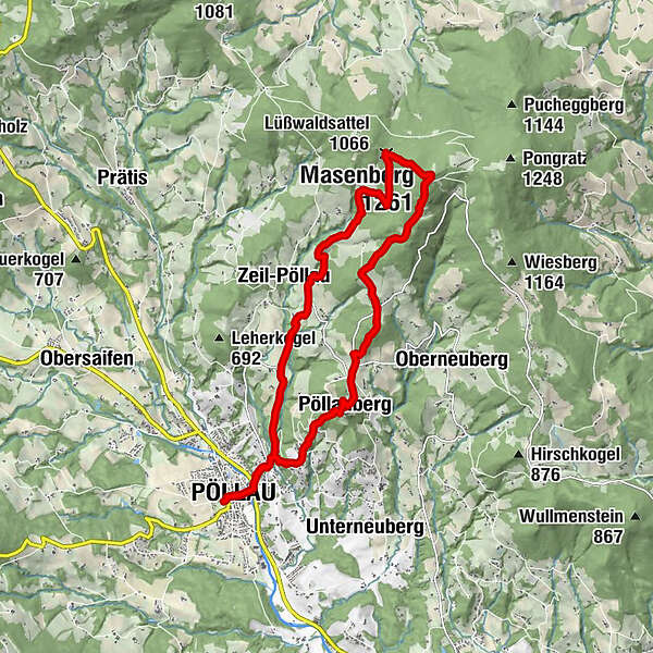
Pöllau0,2 kmKalvarienbergkirche1,1 kmGoldsberghof1,9 kmGoldsberg2,0 kmPöllauberg3,3 kmBerggasthof König3,4 kmBergstubm3,9 kmGlückskapelle8,1 kmSchutzhaus Masenberg8,1 kmMasenberg (1.261 m)8,2 kmLüßwaldsattel (1.066 m)9,0 kmZeil-Pöllau12,7 kmKalvarienbergkirche15,6 kmPöllau16,7 km
- Paras kausi
-
tammihelmimaalishuhtitoukokesäheinäelosyyslokamarrasjoulu
- Korkein kohta
- 1.254 m
- Kohde
-
Pöllau, castle park
- Korkeusprofiili
-


- Kirjoittaja
-
Kiertue Circular hike from Pöllau via Pöllauberg to the Masenberg käyttää outdooractive.com toimitettu.
GPS Downloads


Yleistä tietoa
Virvokepysäkki
Parantava ilmasto
Kulttuuri/Historiallinen
Flora
Fauna
Lupaava
Lisää retkiä alueilla
-
Oststeiermark
2126
-
Naturpark Pöllauer Tal
1095
-
Pöllauberg
353