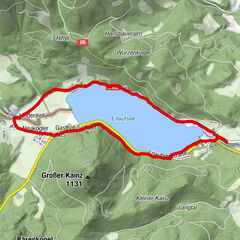
Retkitiedot
6,3km
1.161
- 1.439m
363hm
04:00h

- Lyhyt kuvaus
-
gemütliche Wanderung (bis Rotsohl auch für Kinder geeignet)
- Arviointi
-
- Lähtöpiste
-
GH Scheikl auf der Brunnalm
- Reitti
-
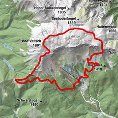
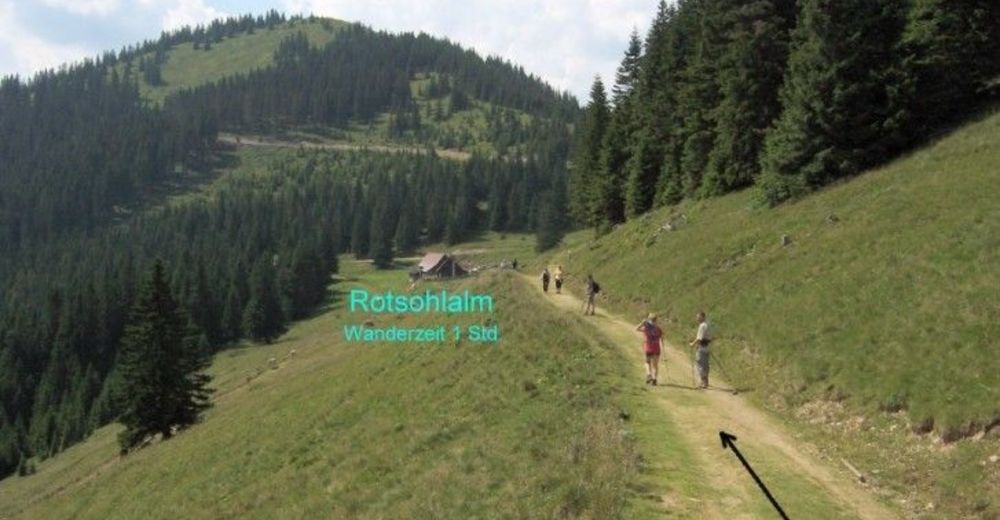
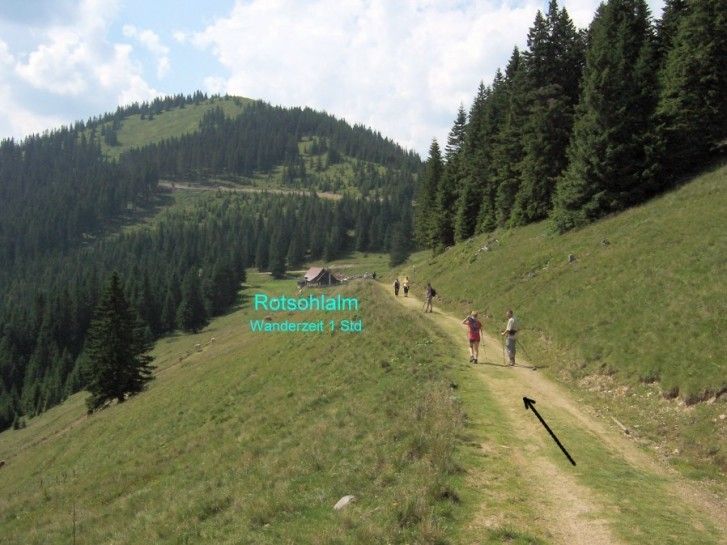
Alpengasthof ScheiklSchalleralm1,7 kmRotsohlalm3,8 kmAlpengasthof Turnauer Alm6,2 km
- Korkein kohta
- 1.439 m
- Lepo/Retriitti
-
GH Scheikl / Schalleralm / Rotsohl / Turnaueralm


GPS Downloads


Polun olosuhteet
Asfaltti
Sora
Niitty
Metsä
Kallio
Altistettu
Lisää retkiä alueilla
-
Hochsteiermark
4081
-
Pogusch - Steirische Romantik
1536
-
Turnau
394