

Retkitiedot
17km
1.382
- 2.553m
1.232hm
1.259hm
07:10h
- Lyhyt kuvaus
-
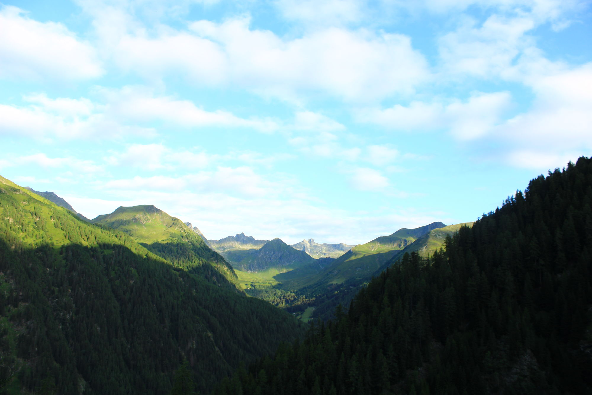
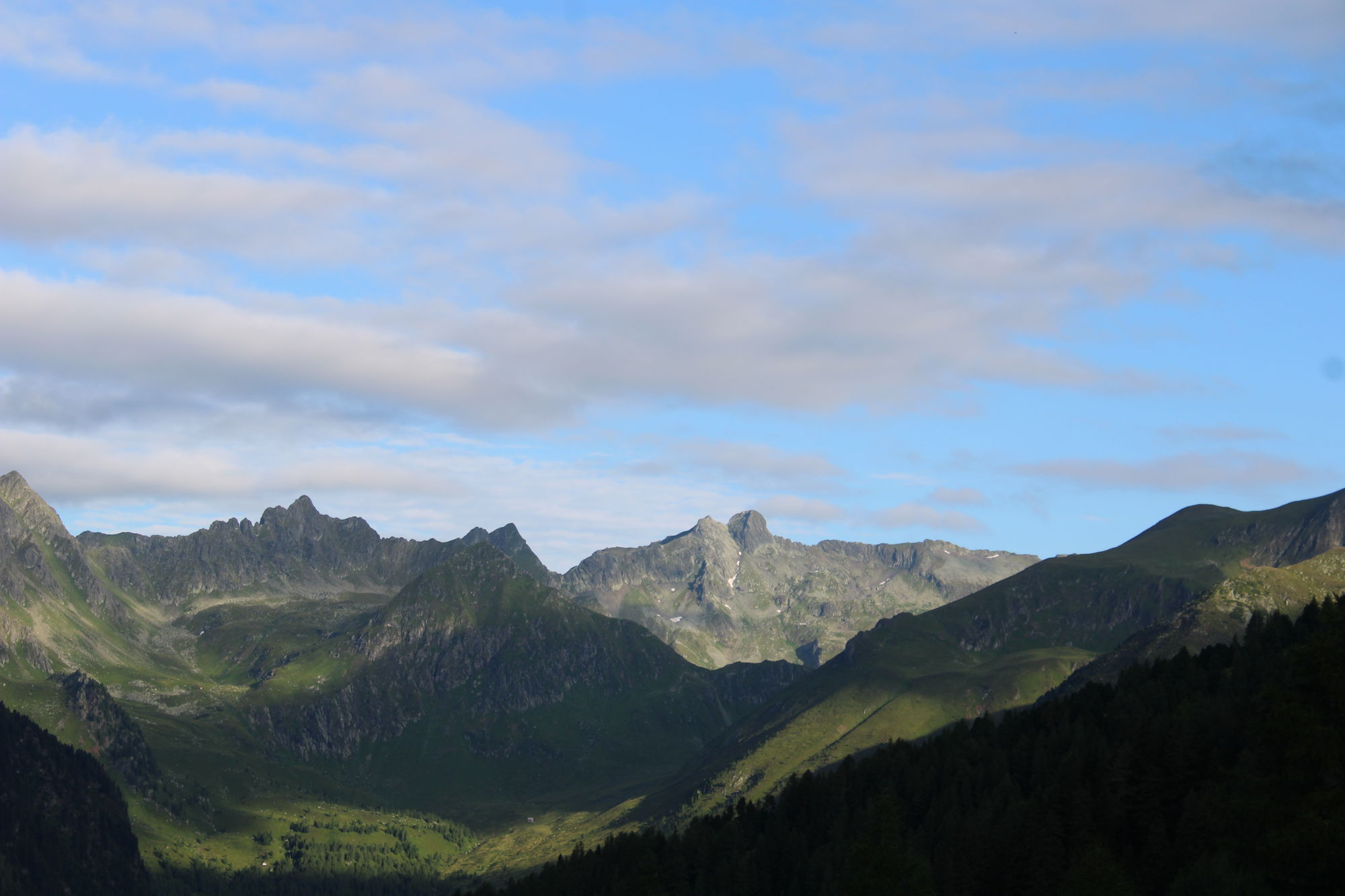
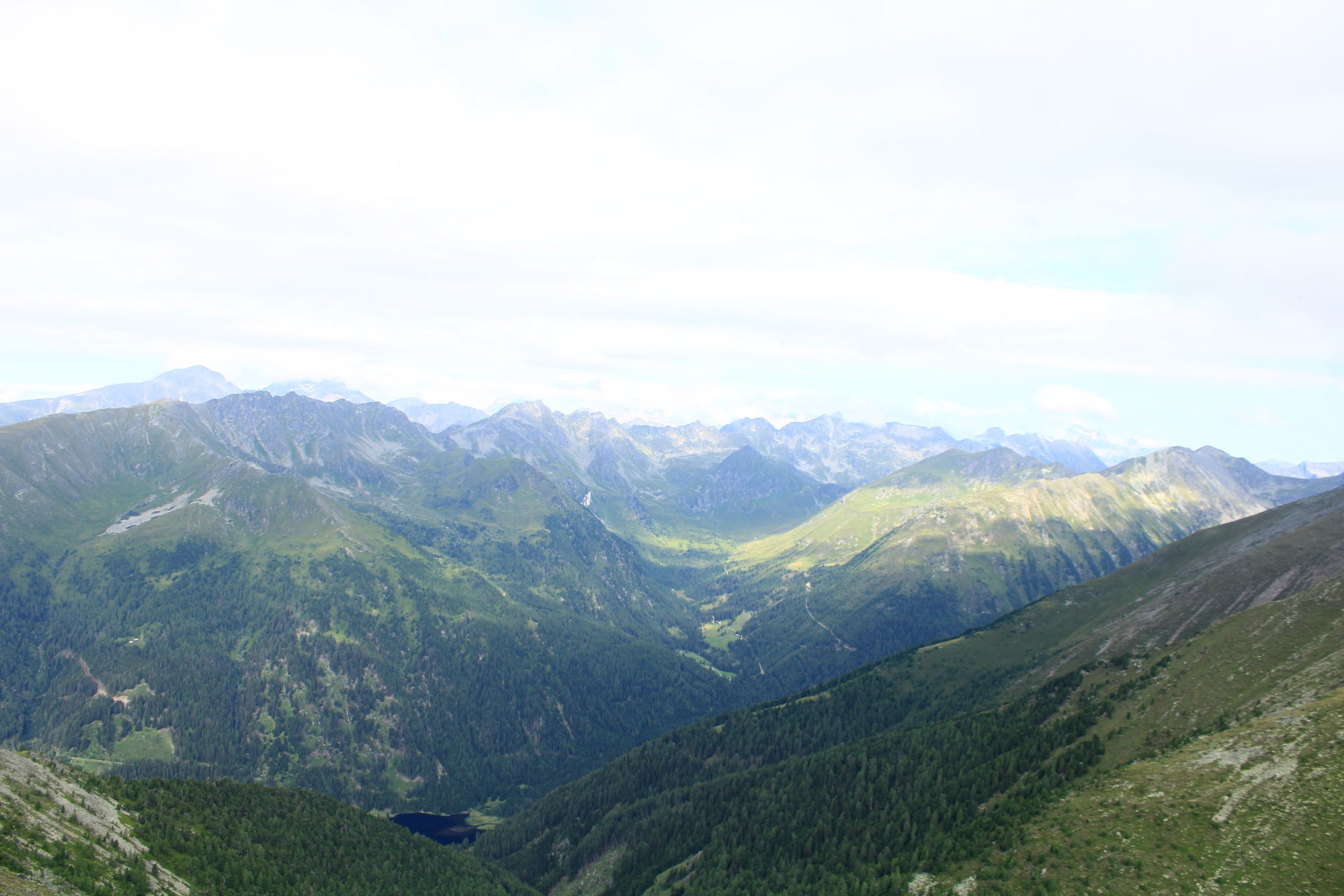
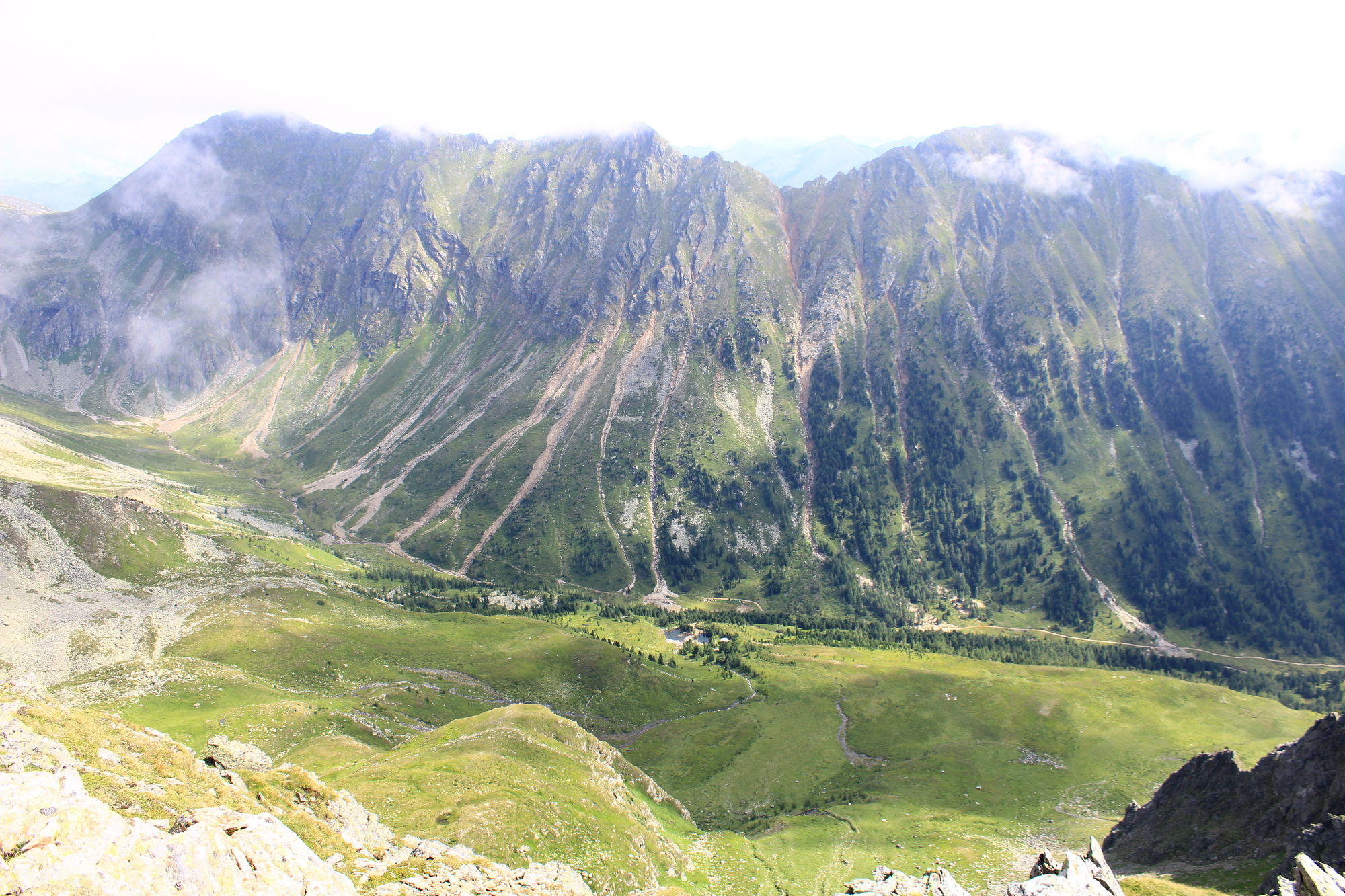
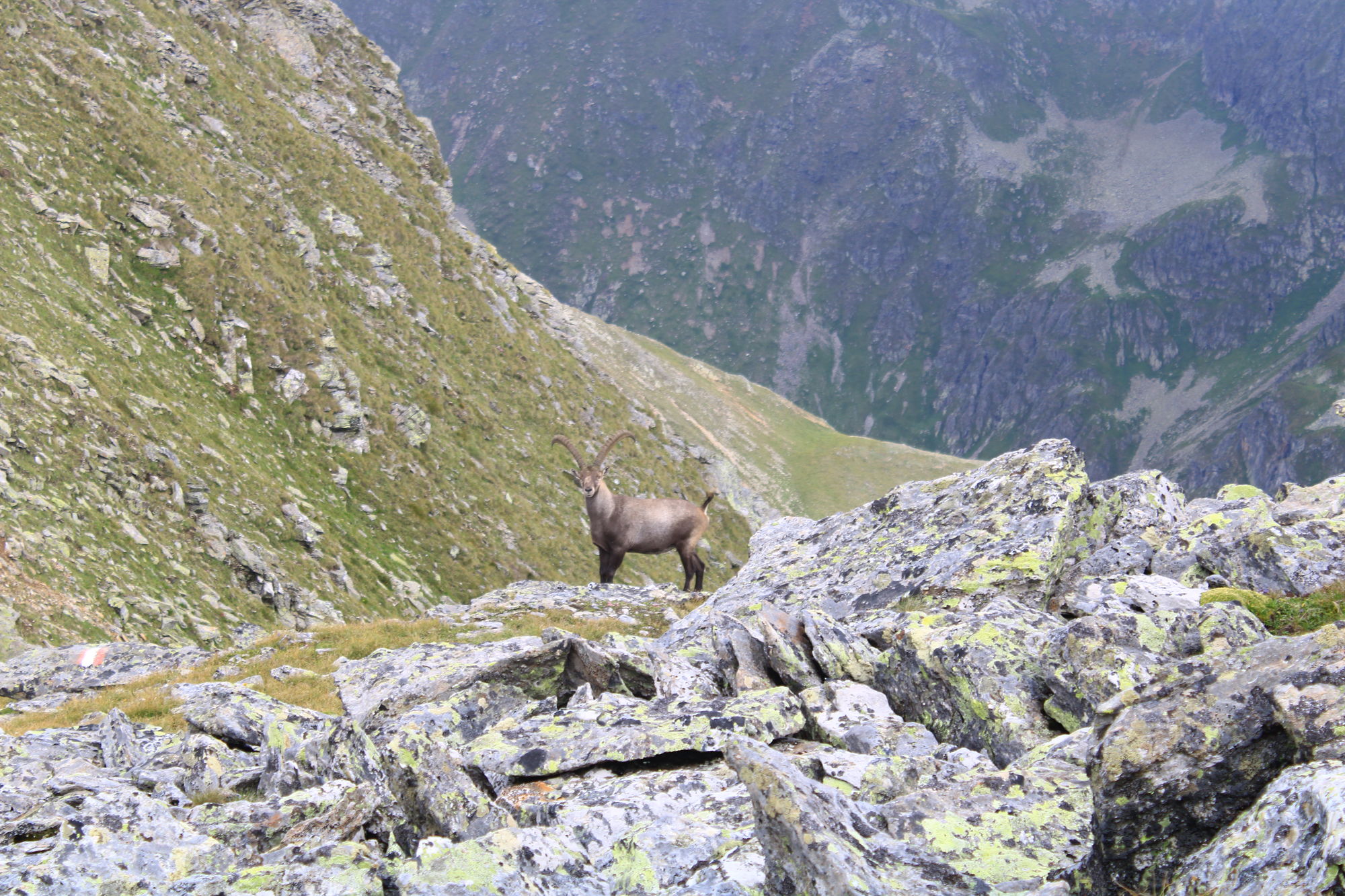
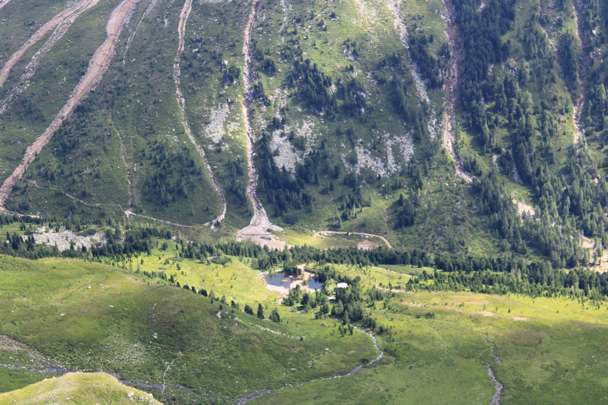
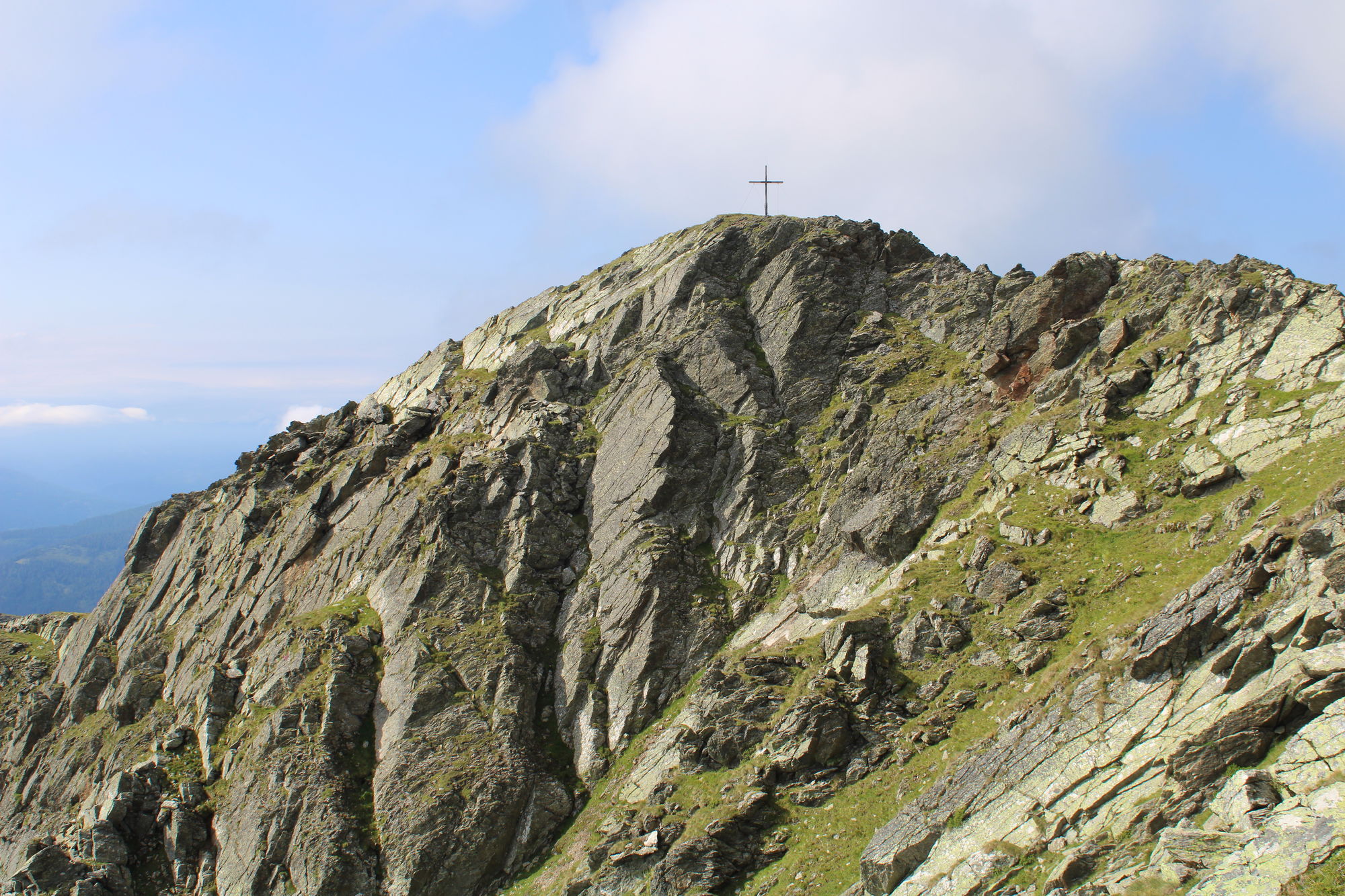
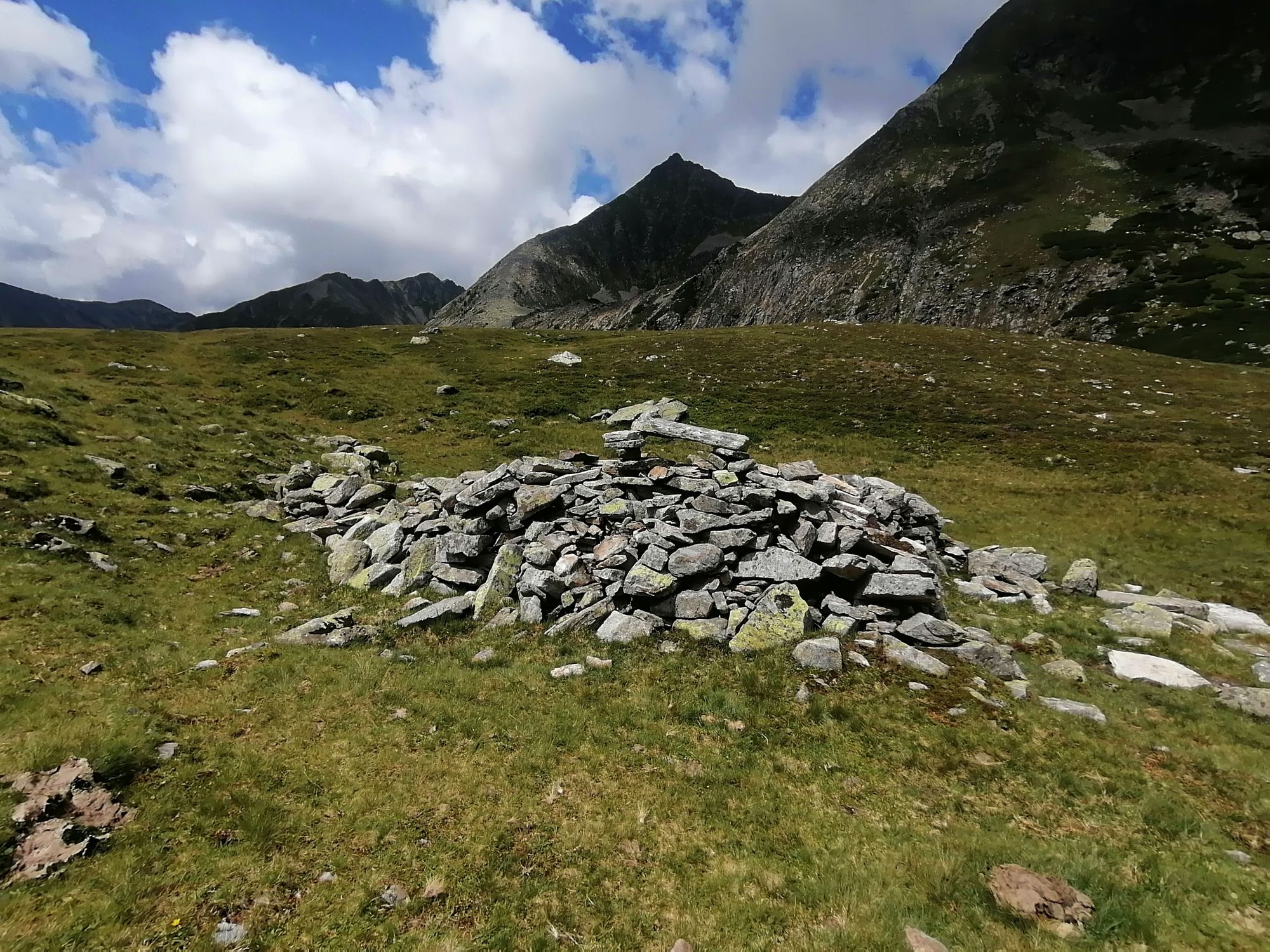
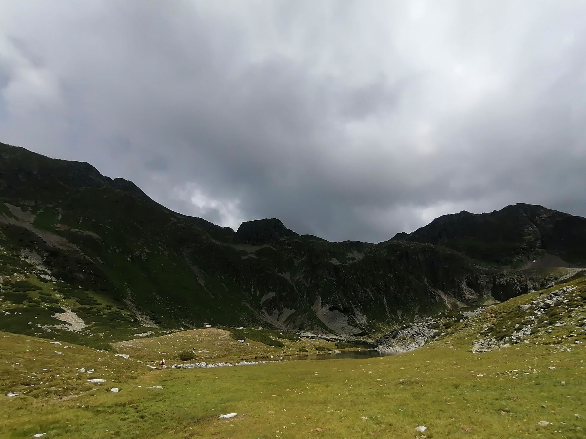
Wanderung Etrachsee
- Vaikeus
-
tapa
- Arviointi
-
- Lähtöpiste
-
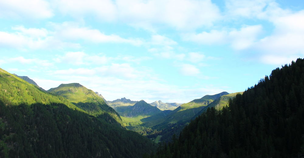
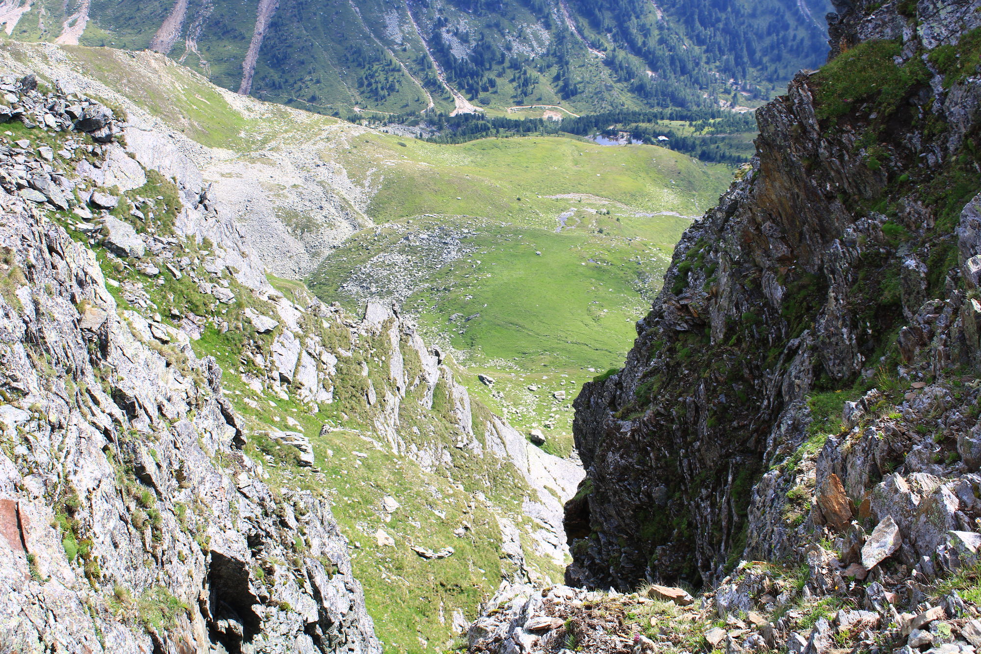
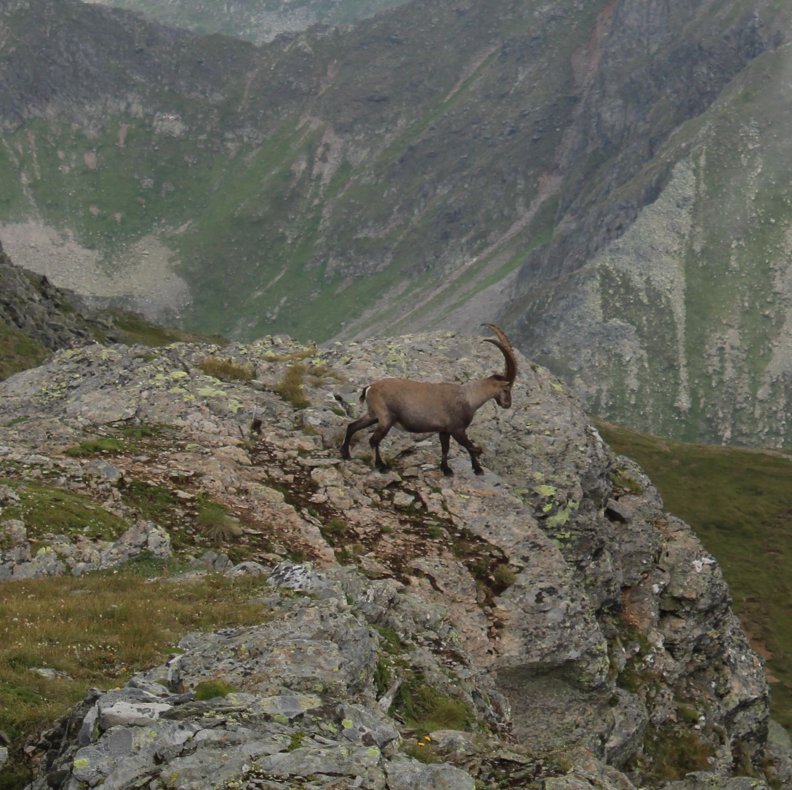
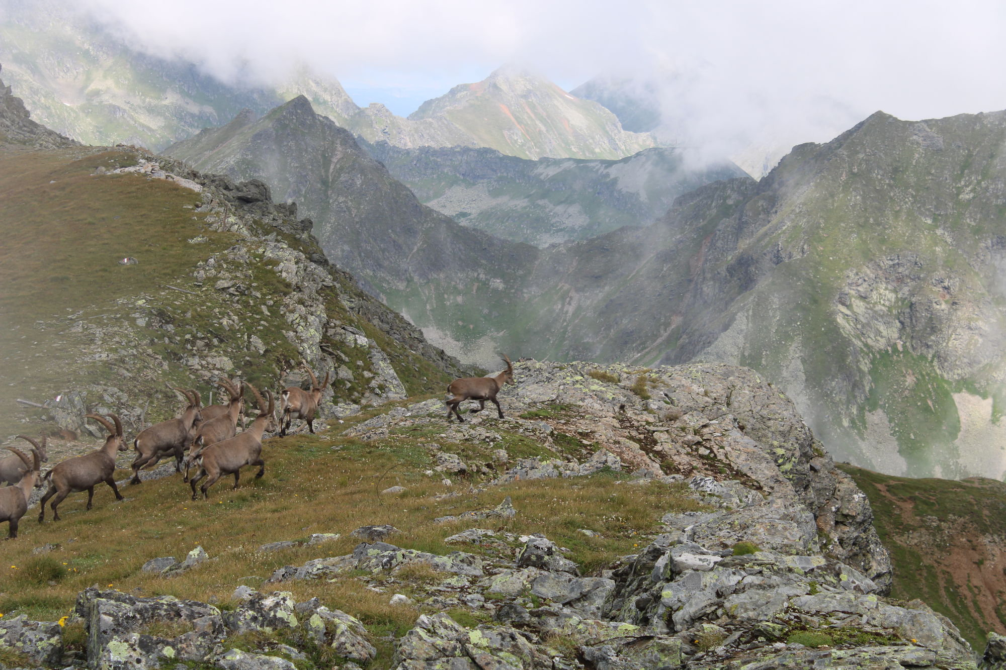
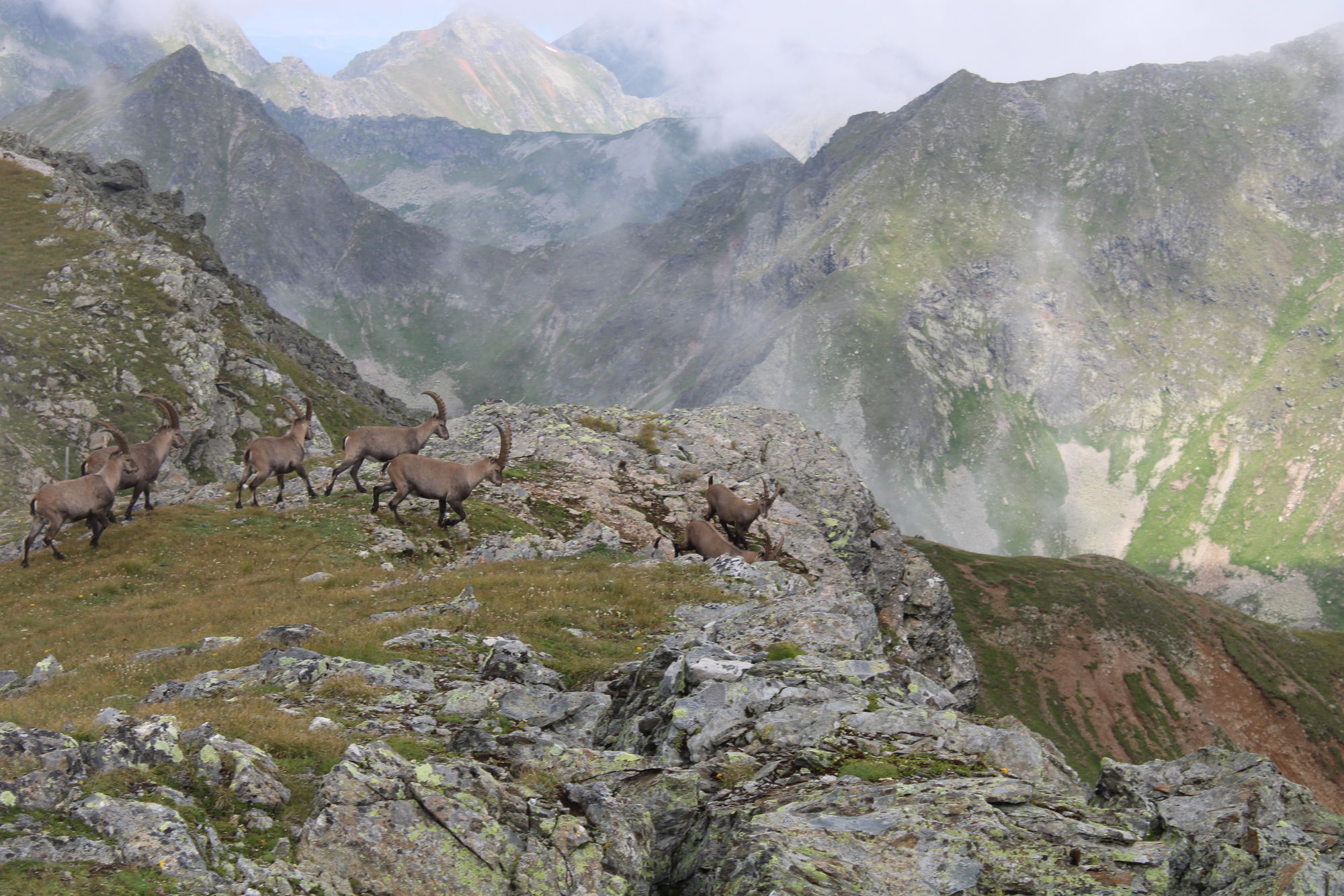
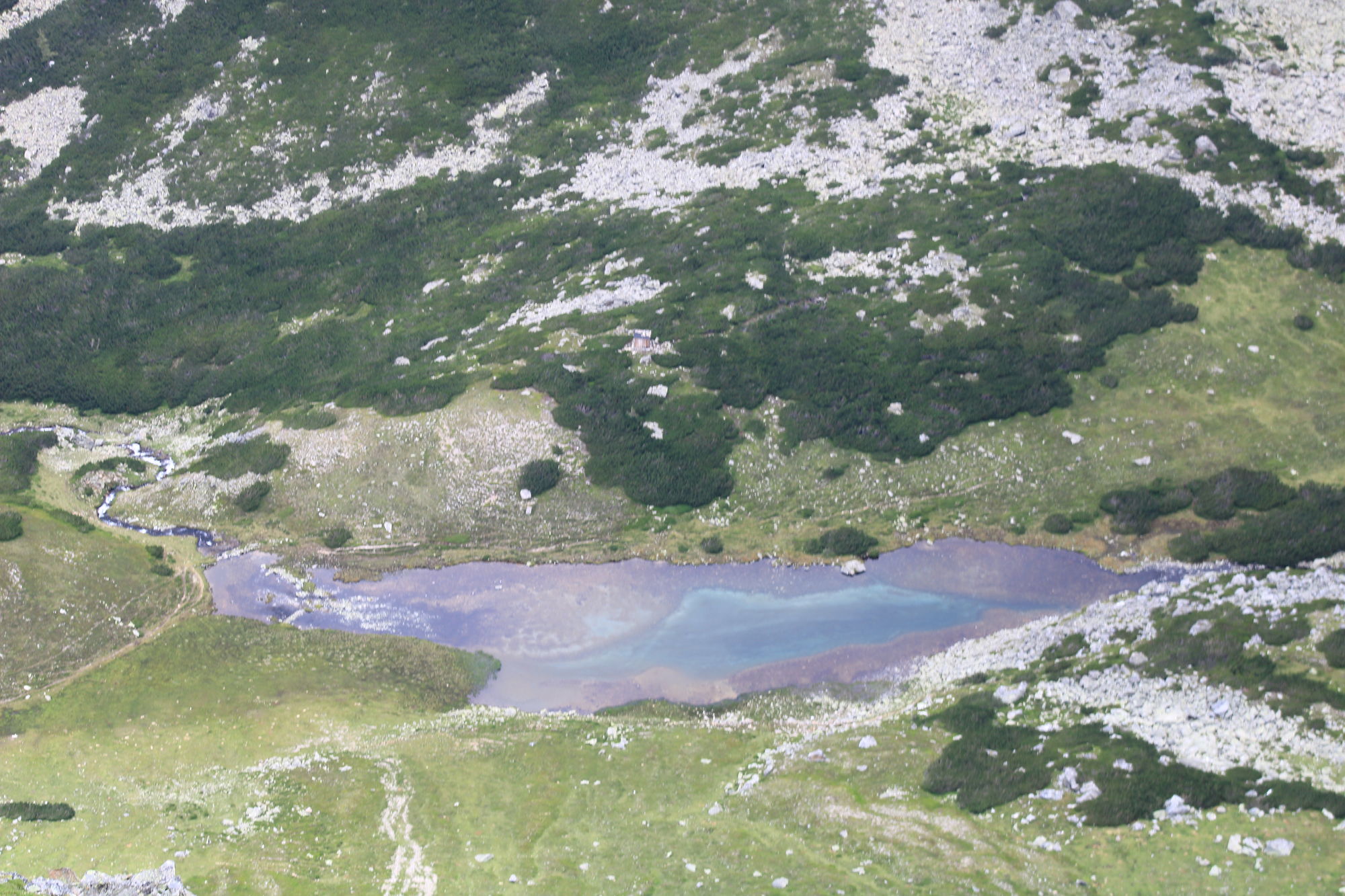
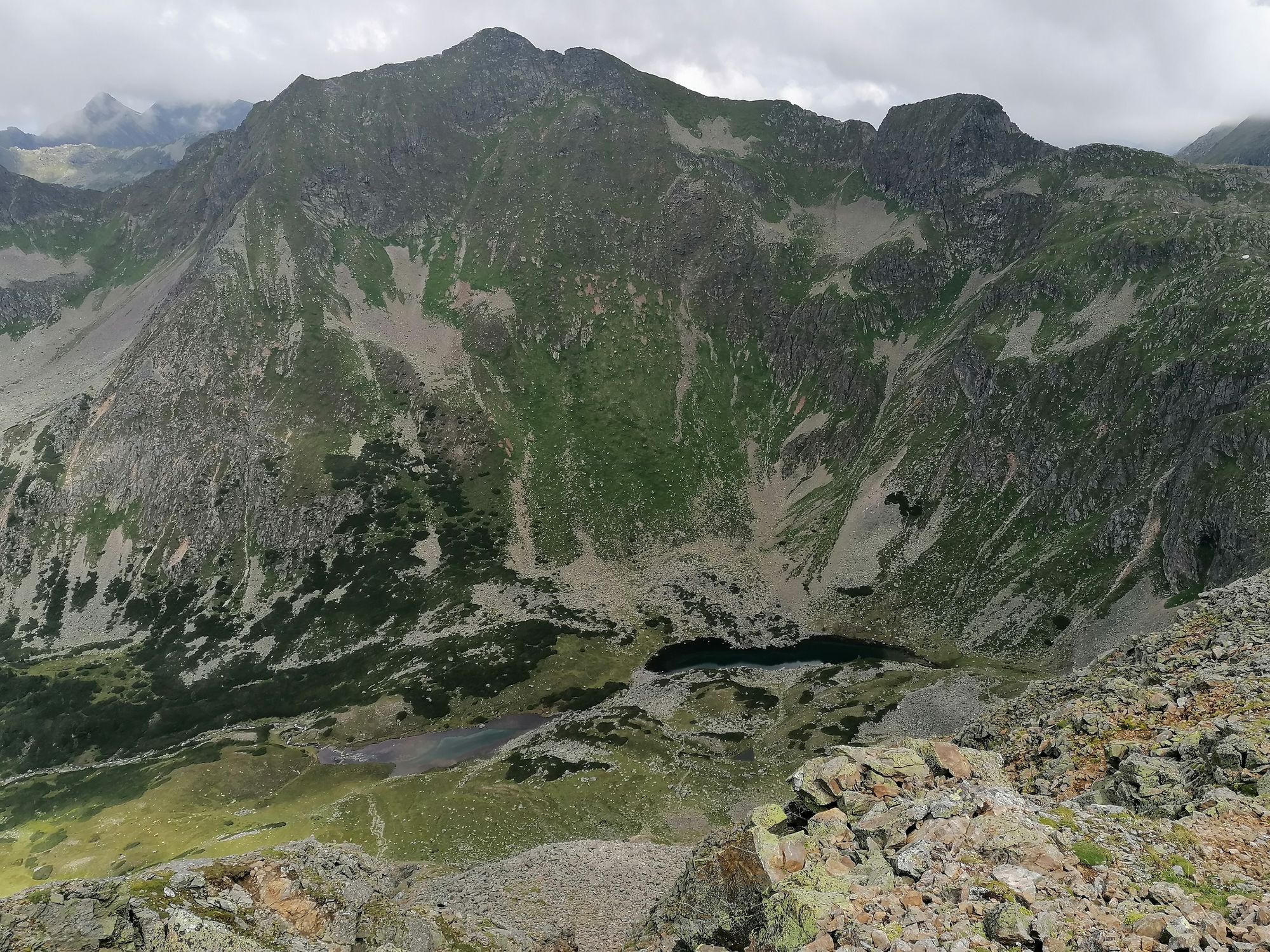
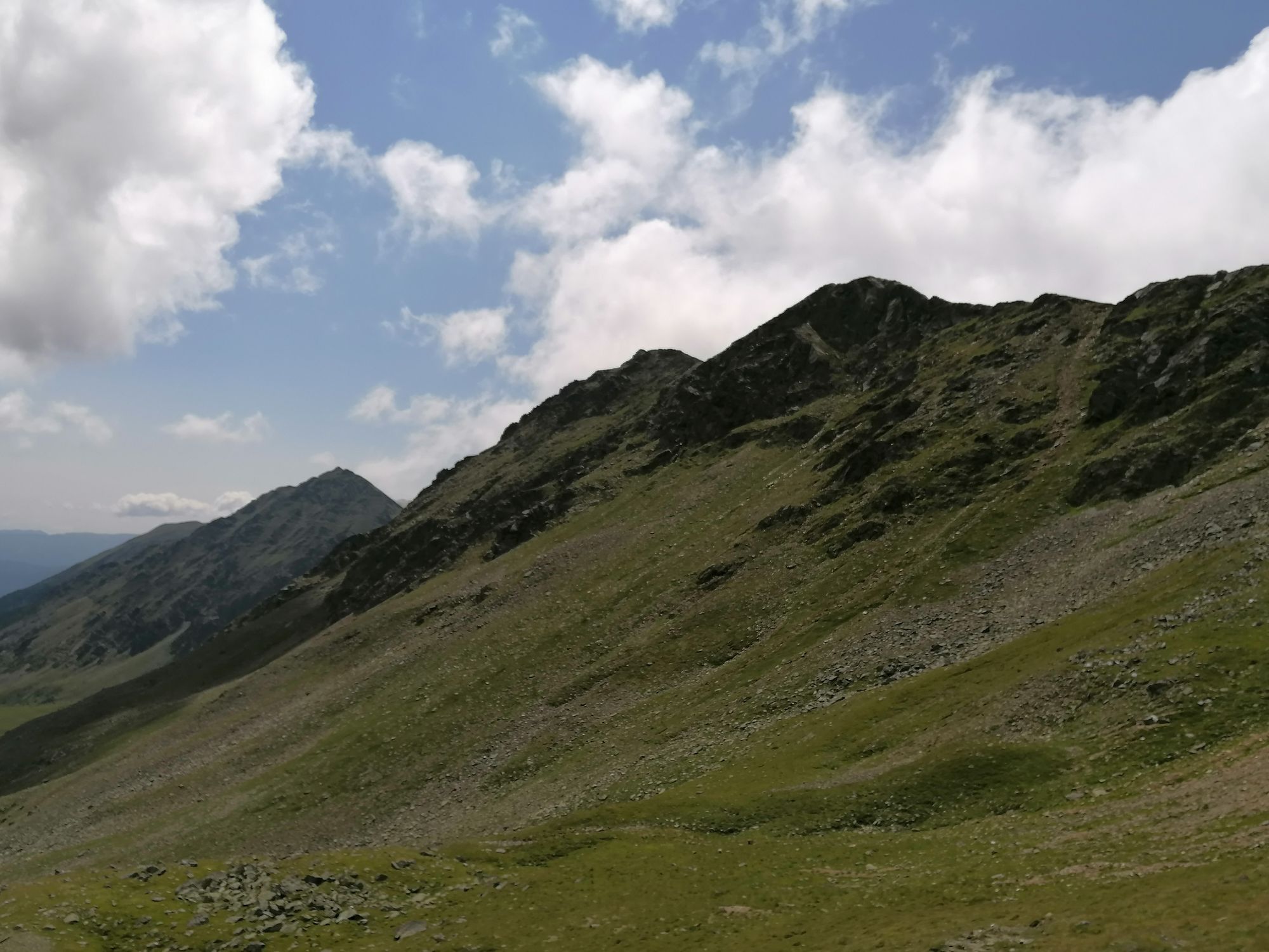
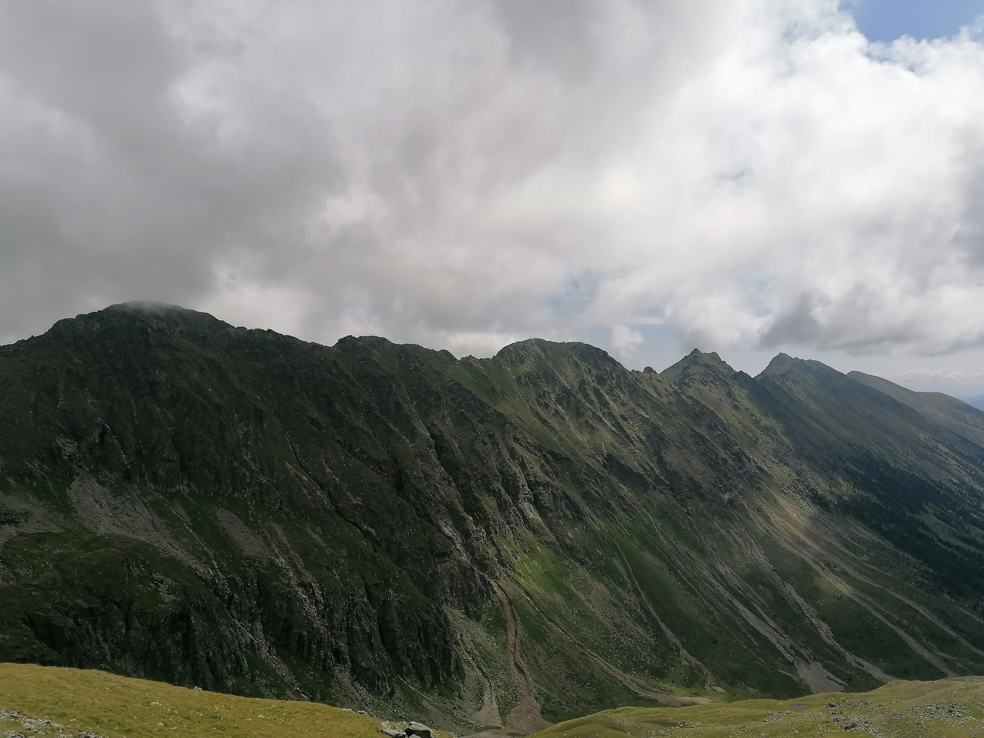
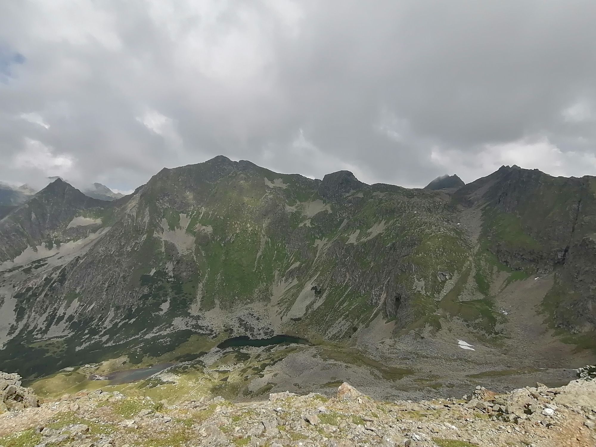
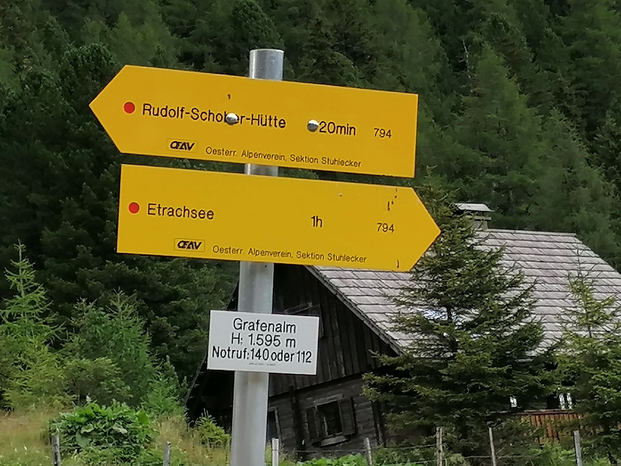
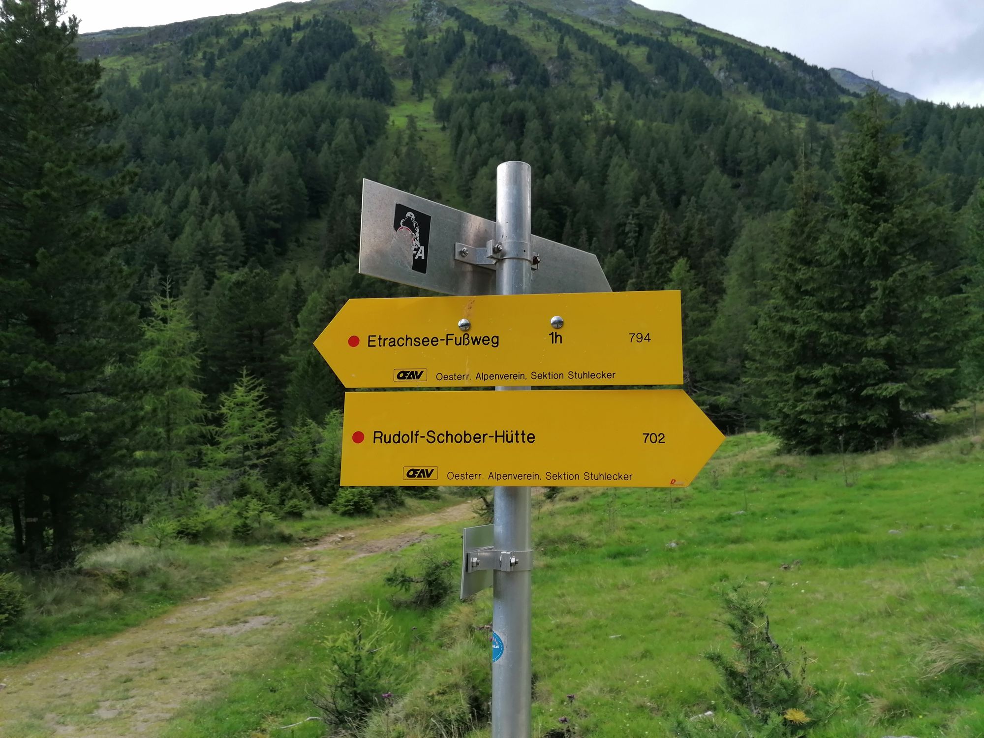
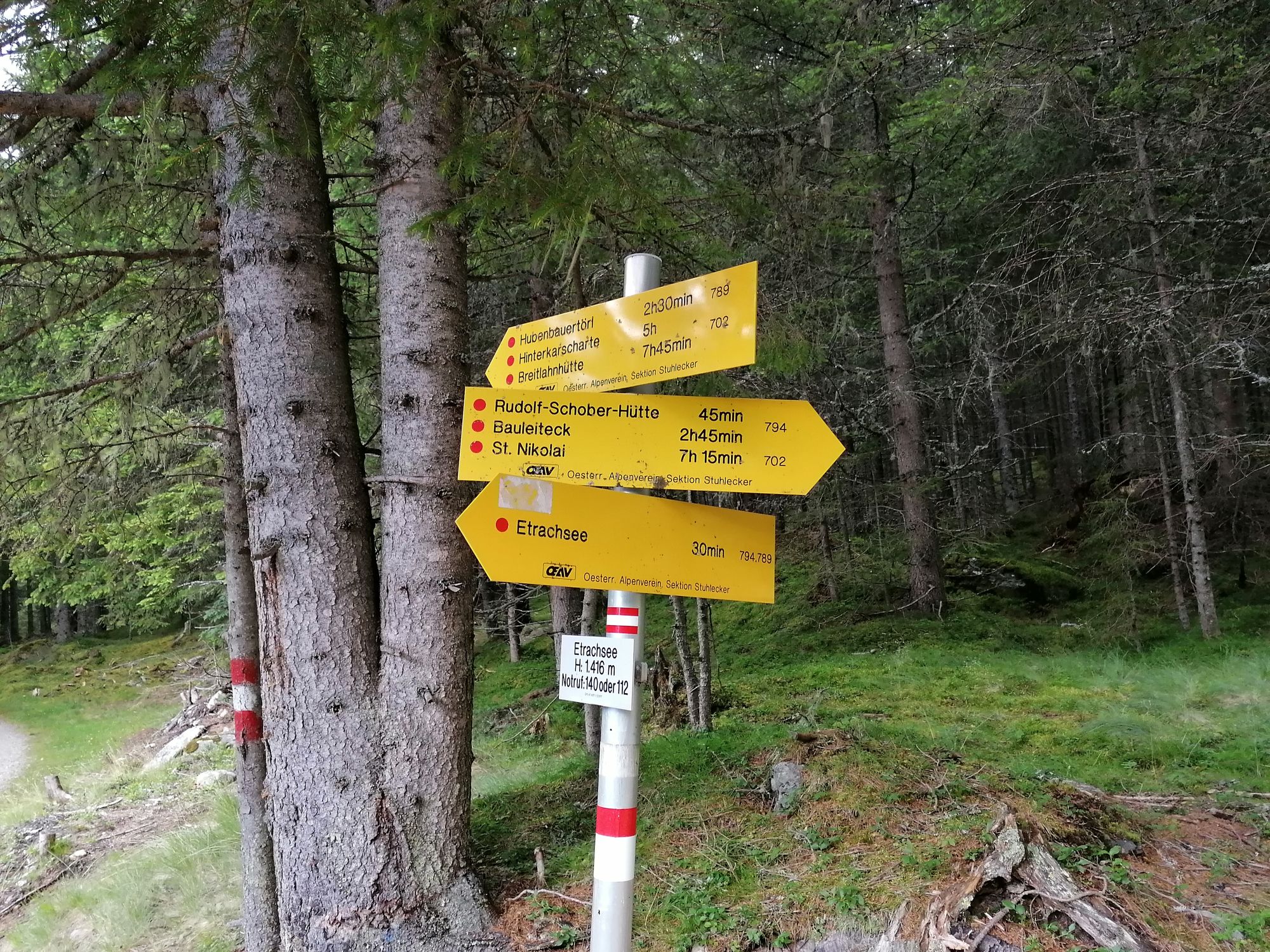
Etrachsee
- Reitti
-
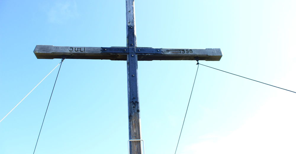
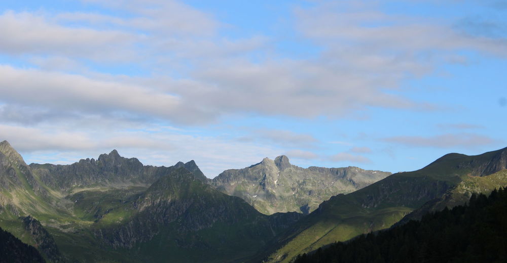
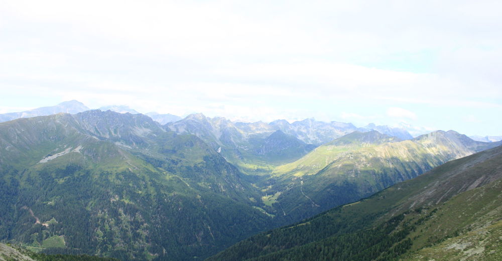
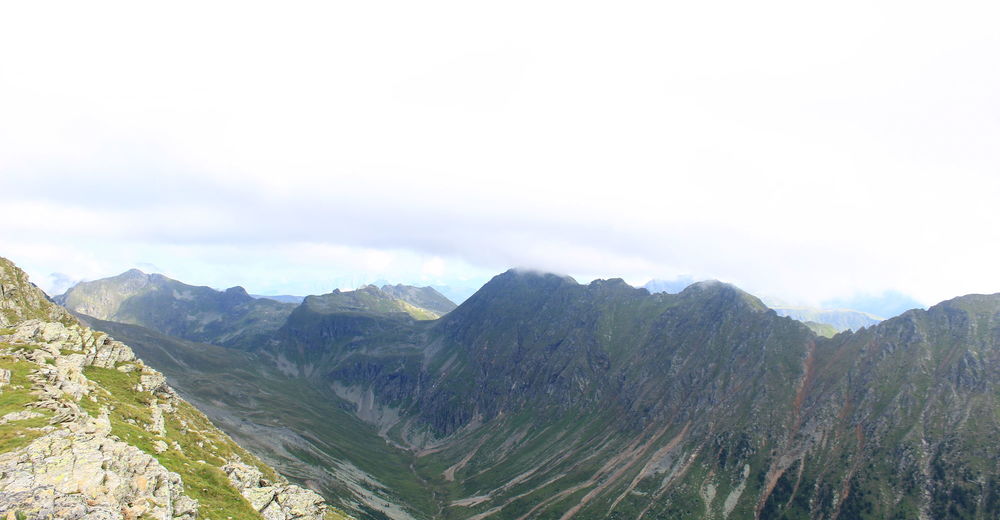
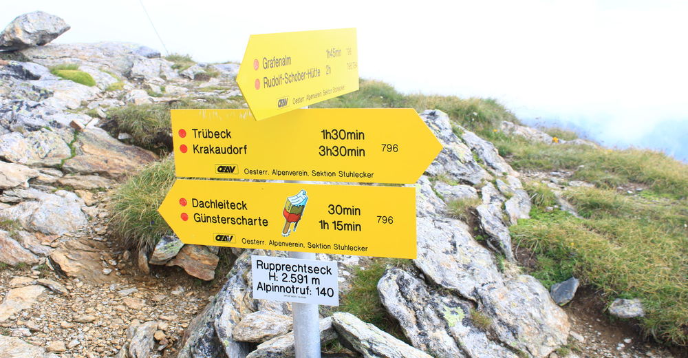
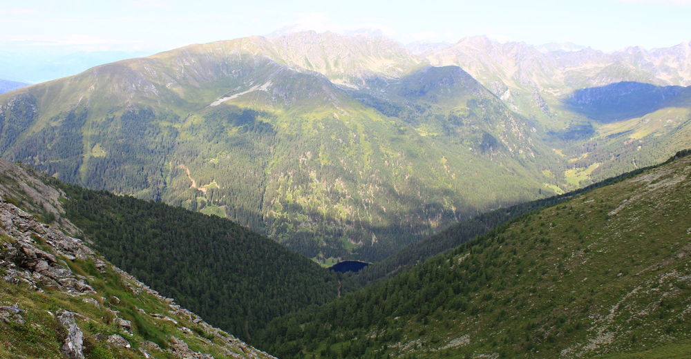
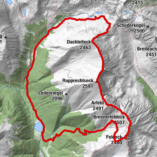
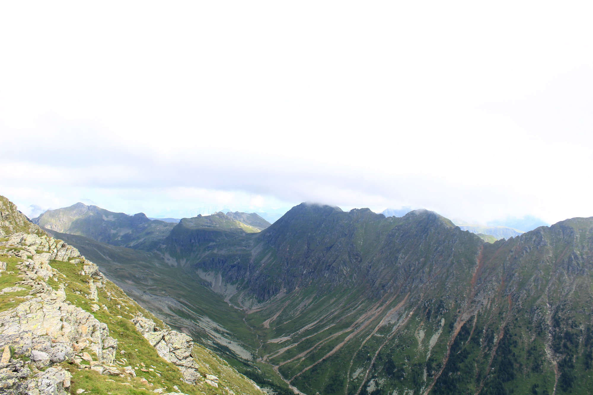
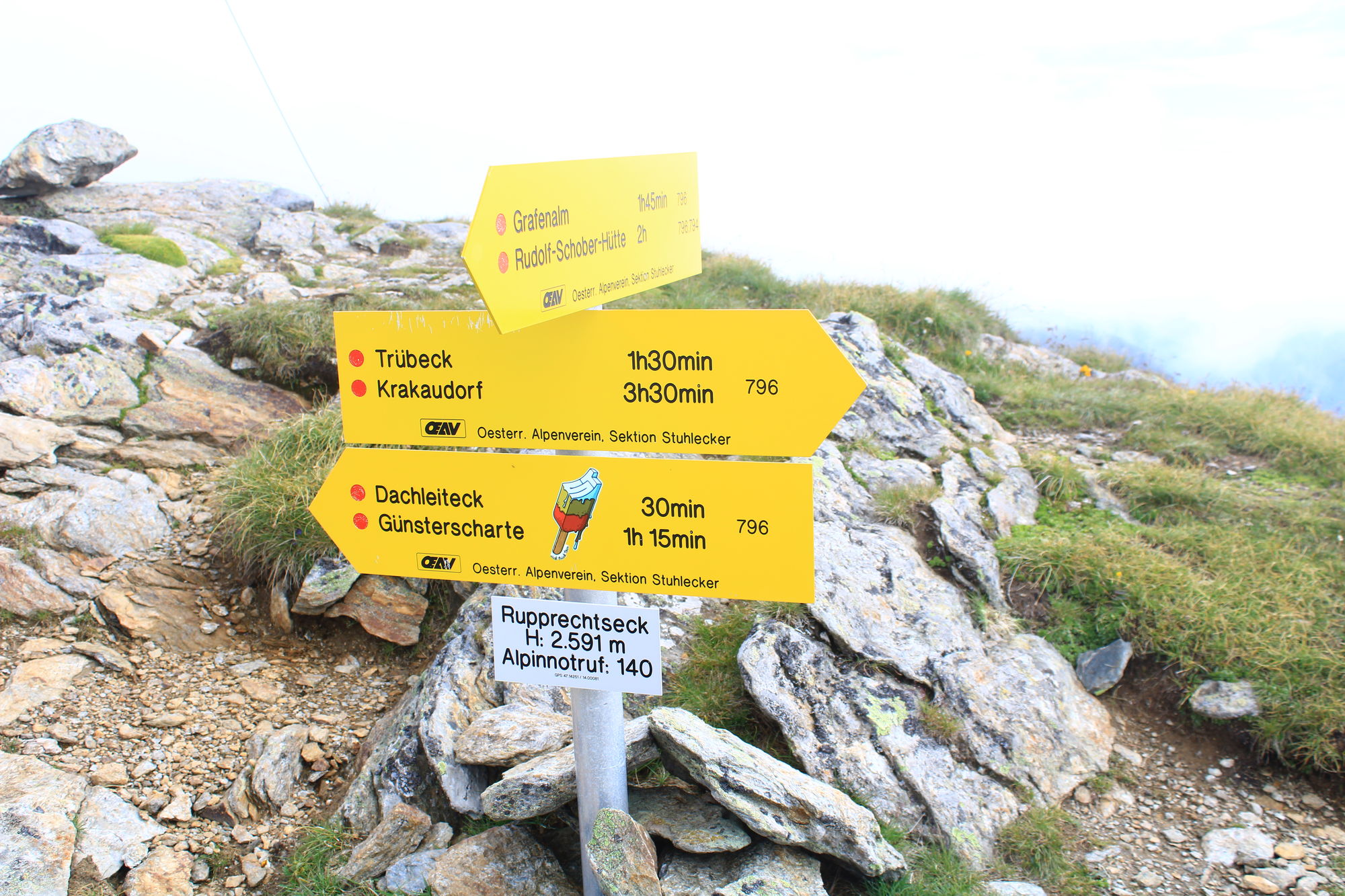
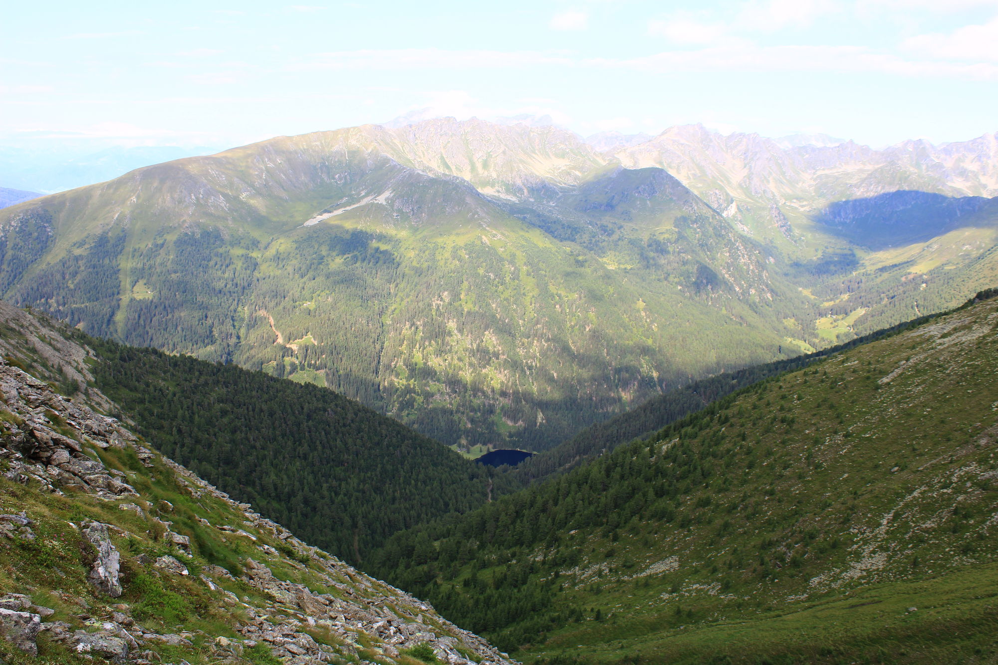
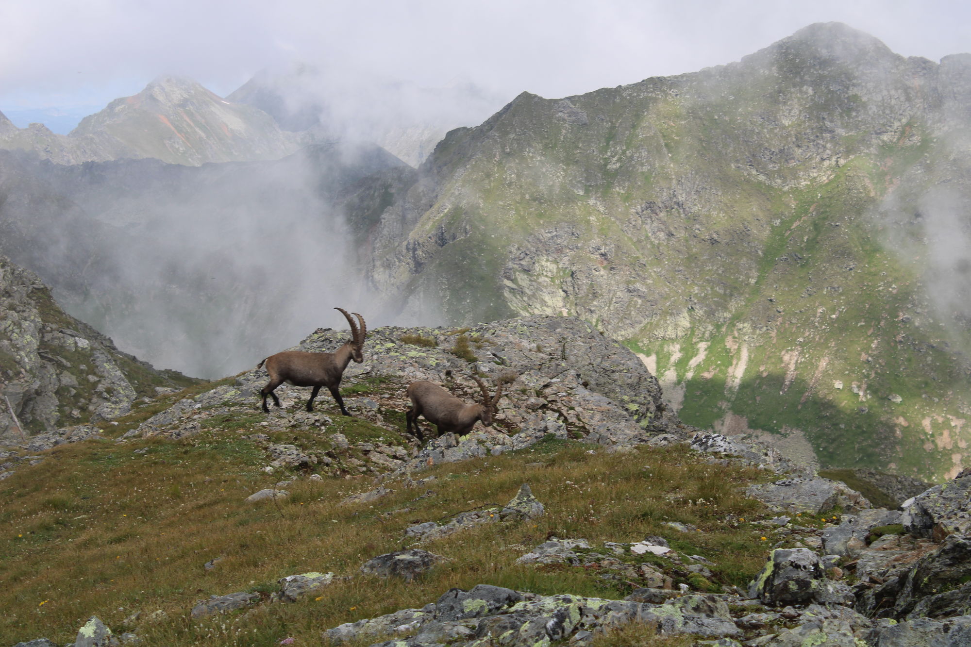
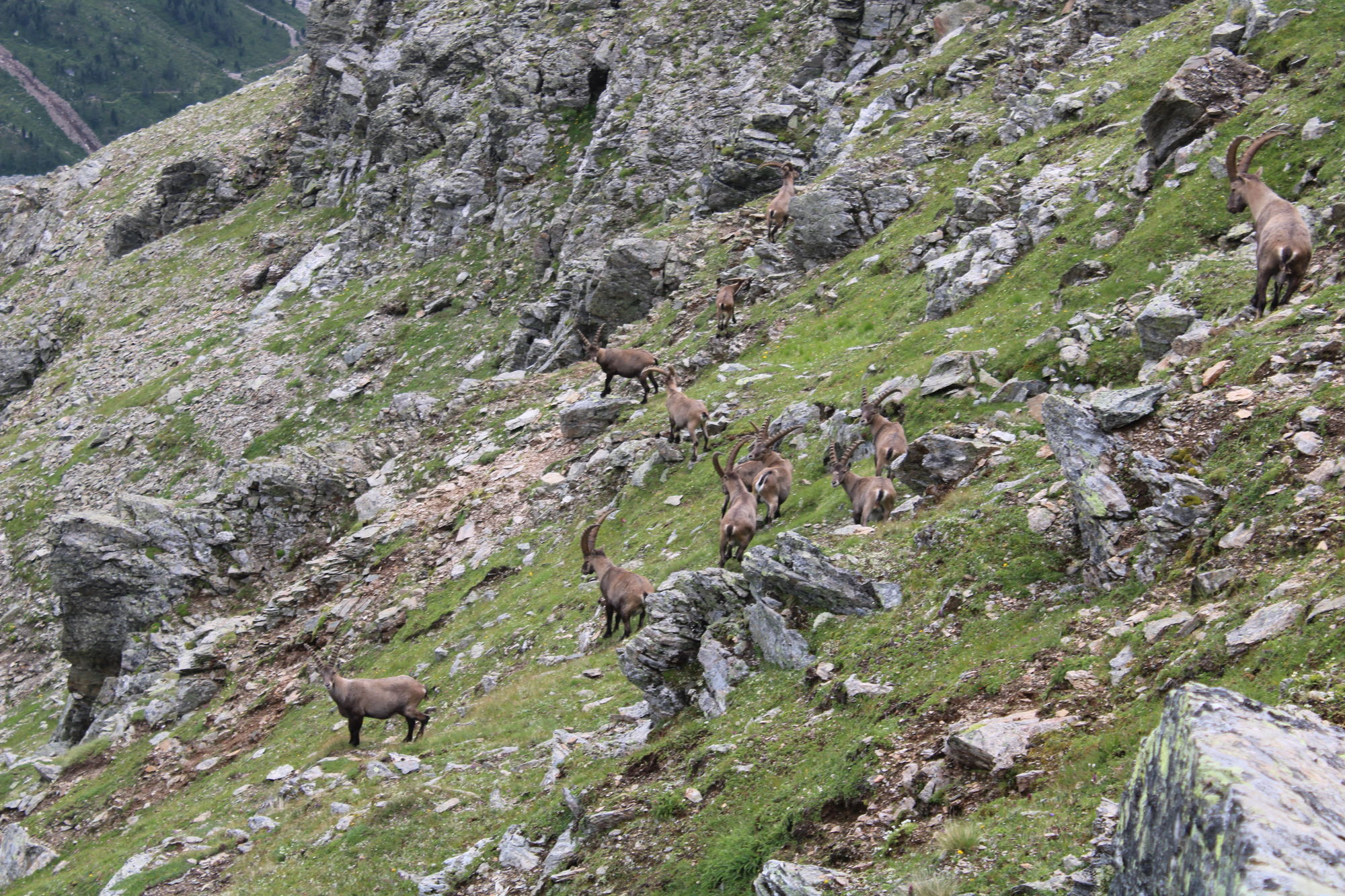
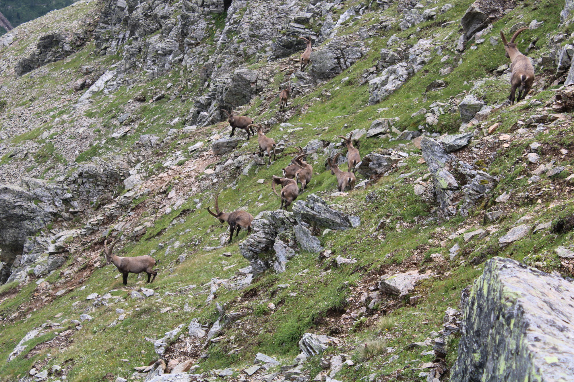
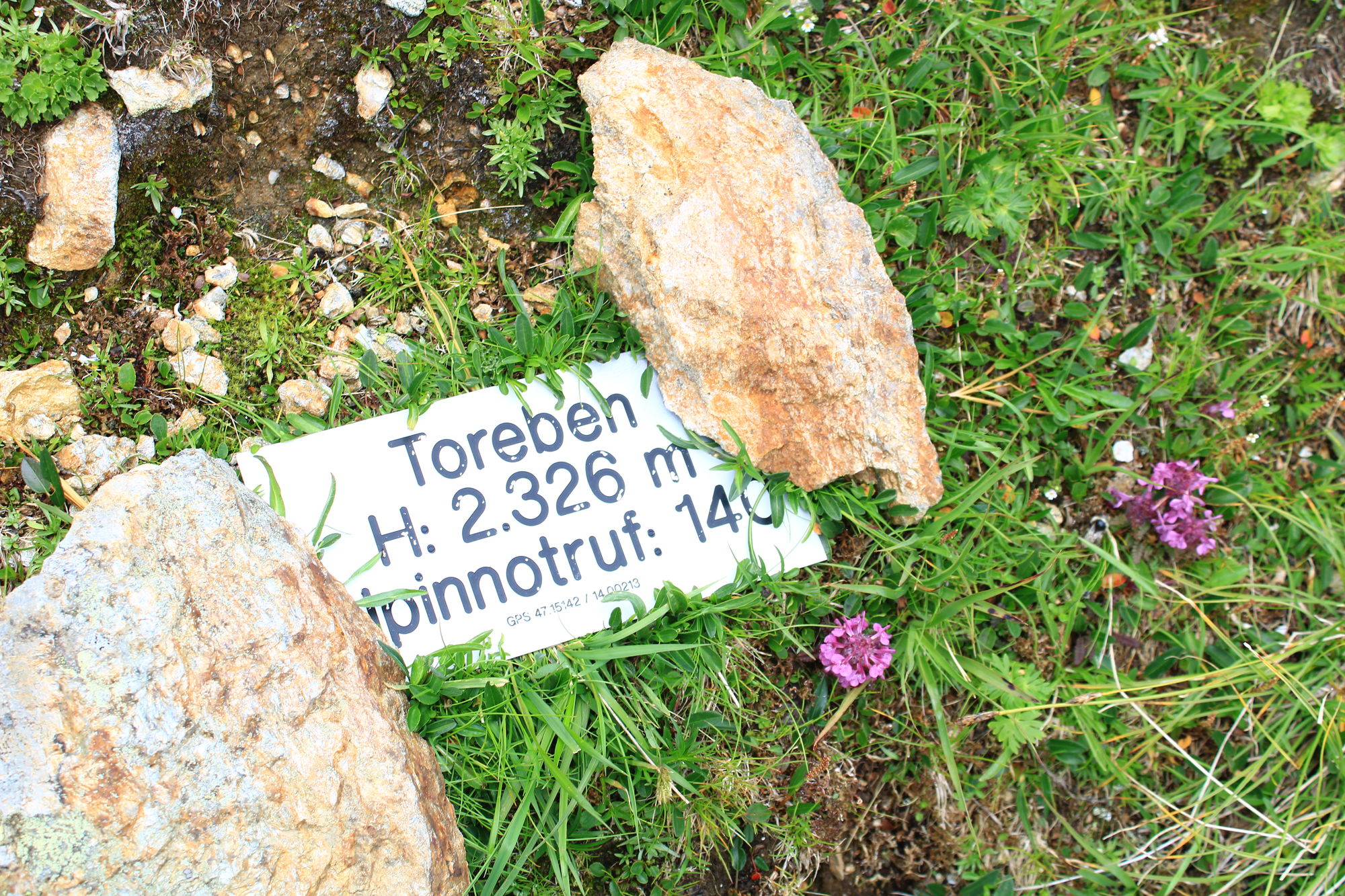
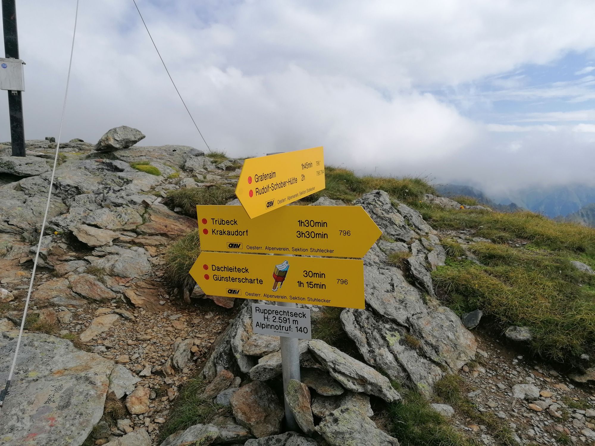
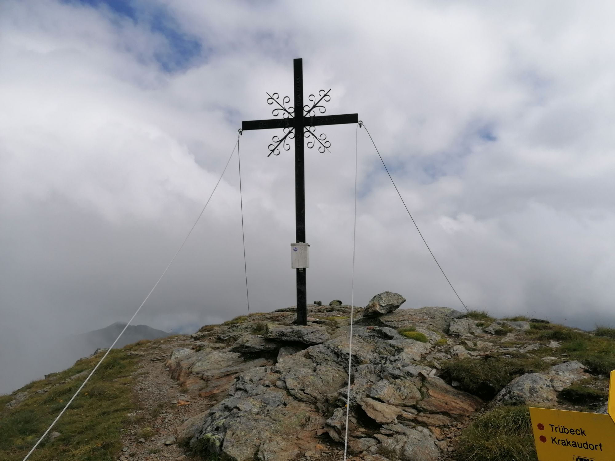
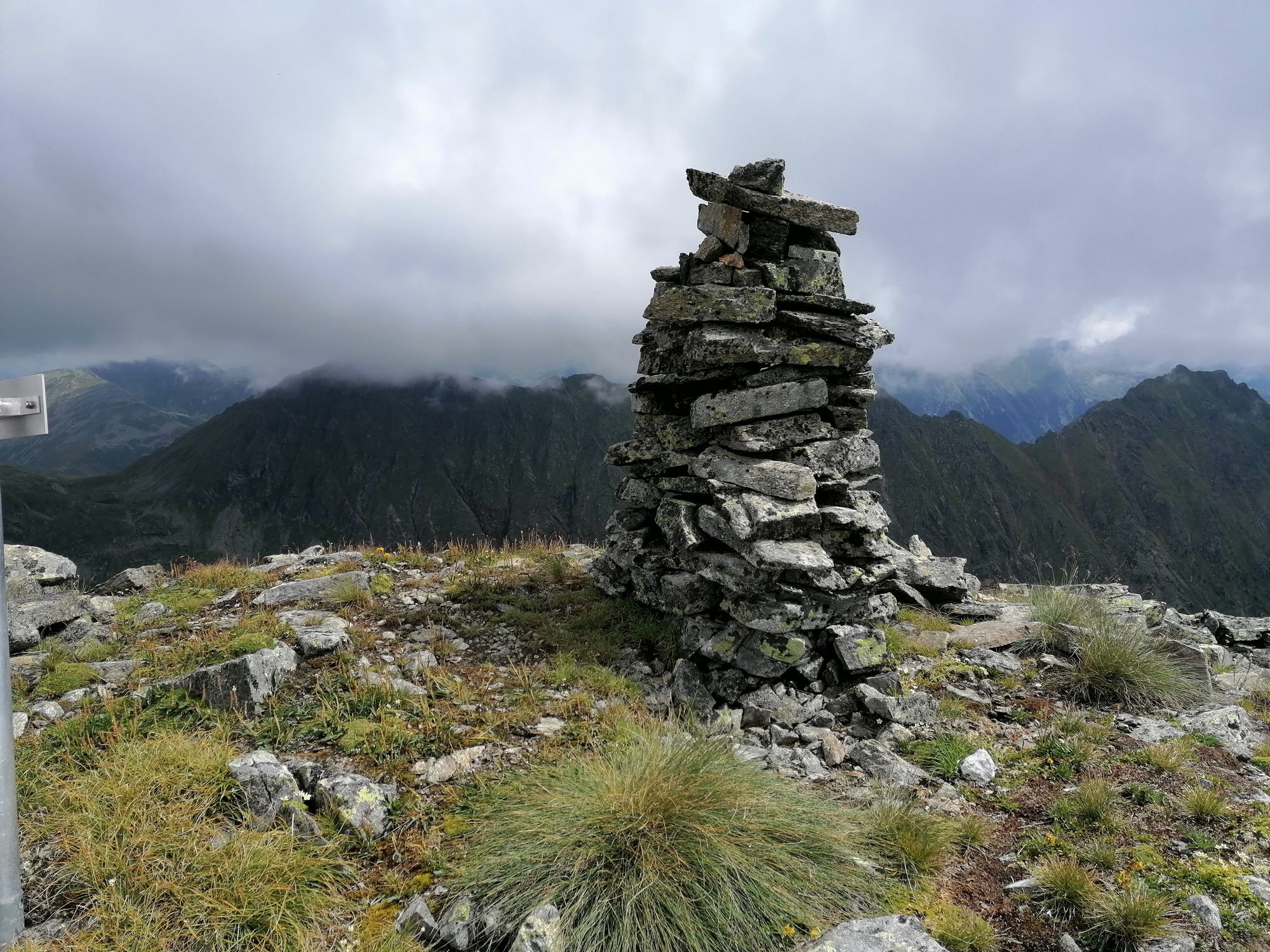
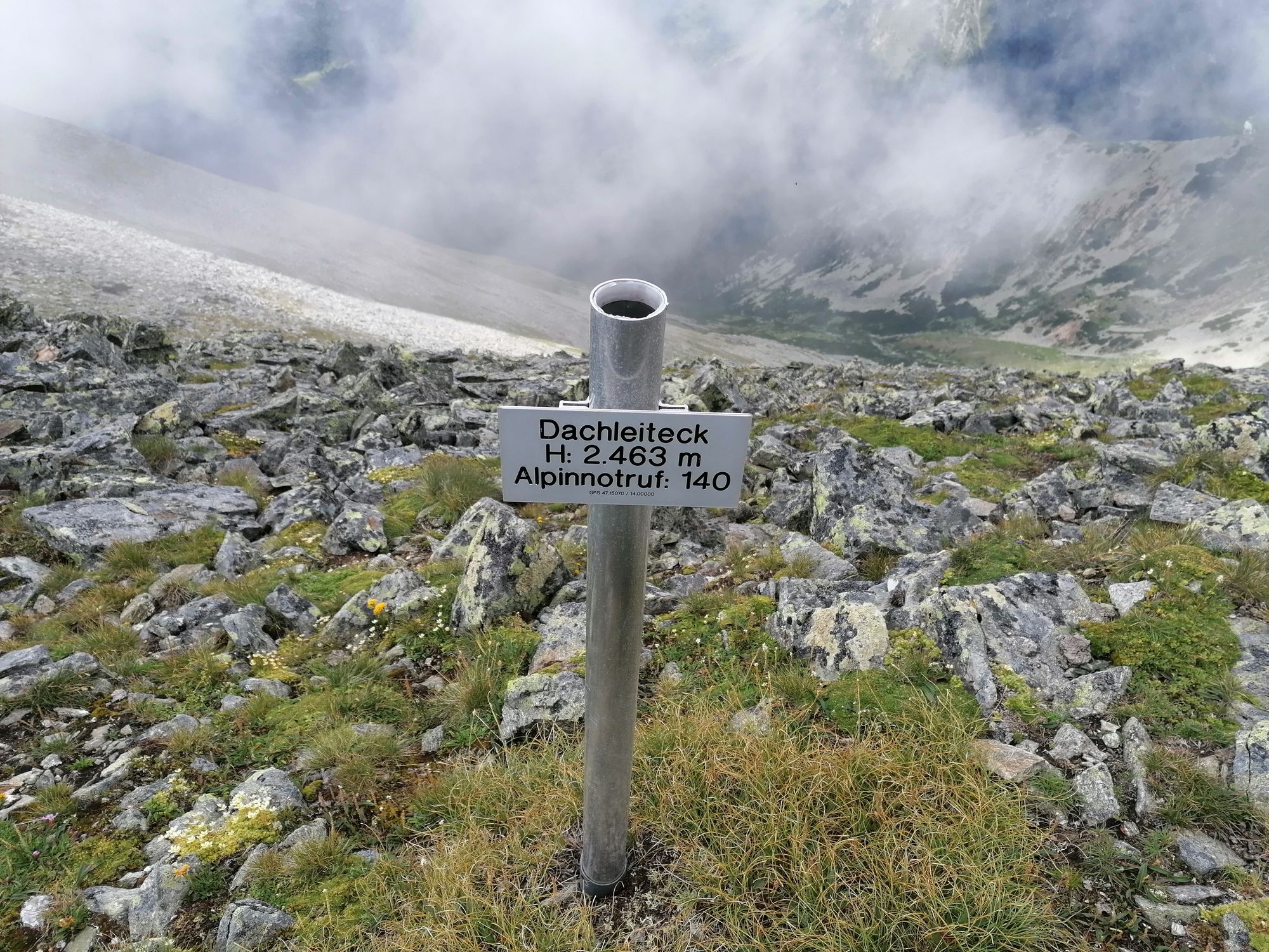
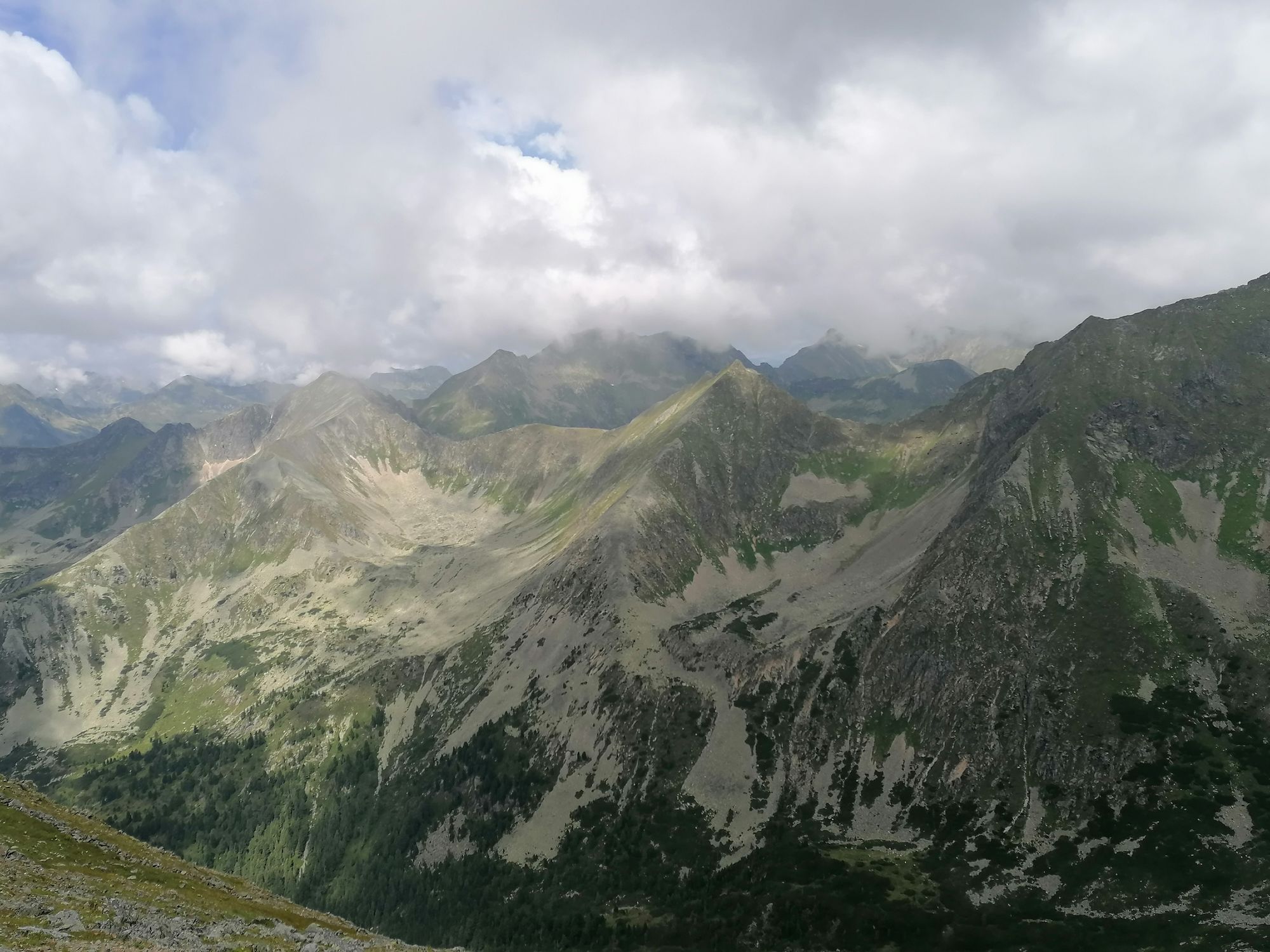
Forellenstation Etrachsee0,1 kmFeldeck (2.480 m)5,2 kmBrennerfeldeck (2.507 m)6,0 kmArfeld (2.491 m)7,0 kmRupprechtseck (2.591 m)7,9 kmDachleiteck (2.557 m)8,3 kmToreben (2.463 m)9,4 kmForellenstation Etrachsee17,0 km
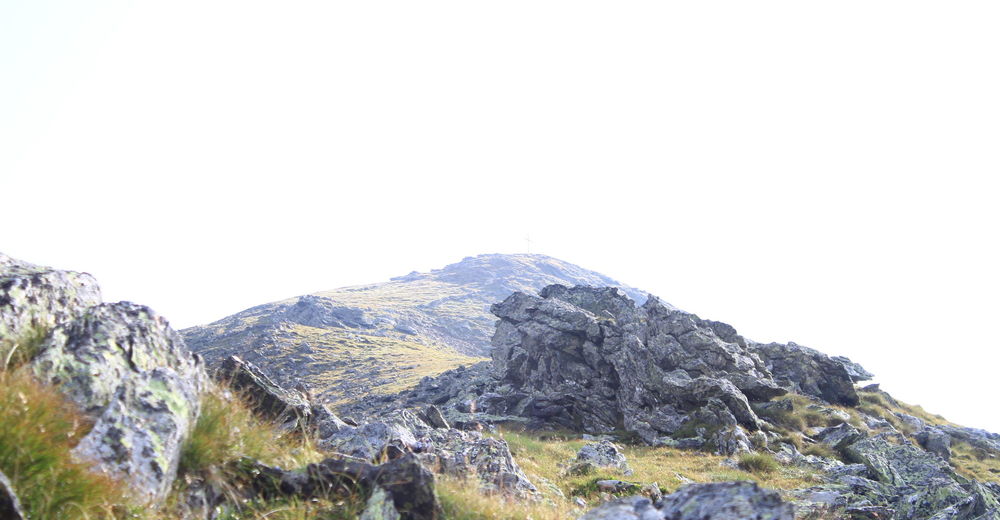
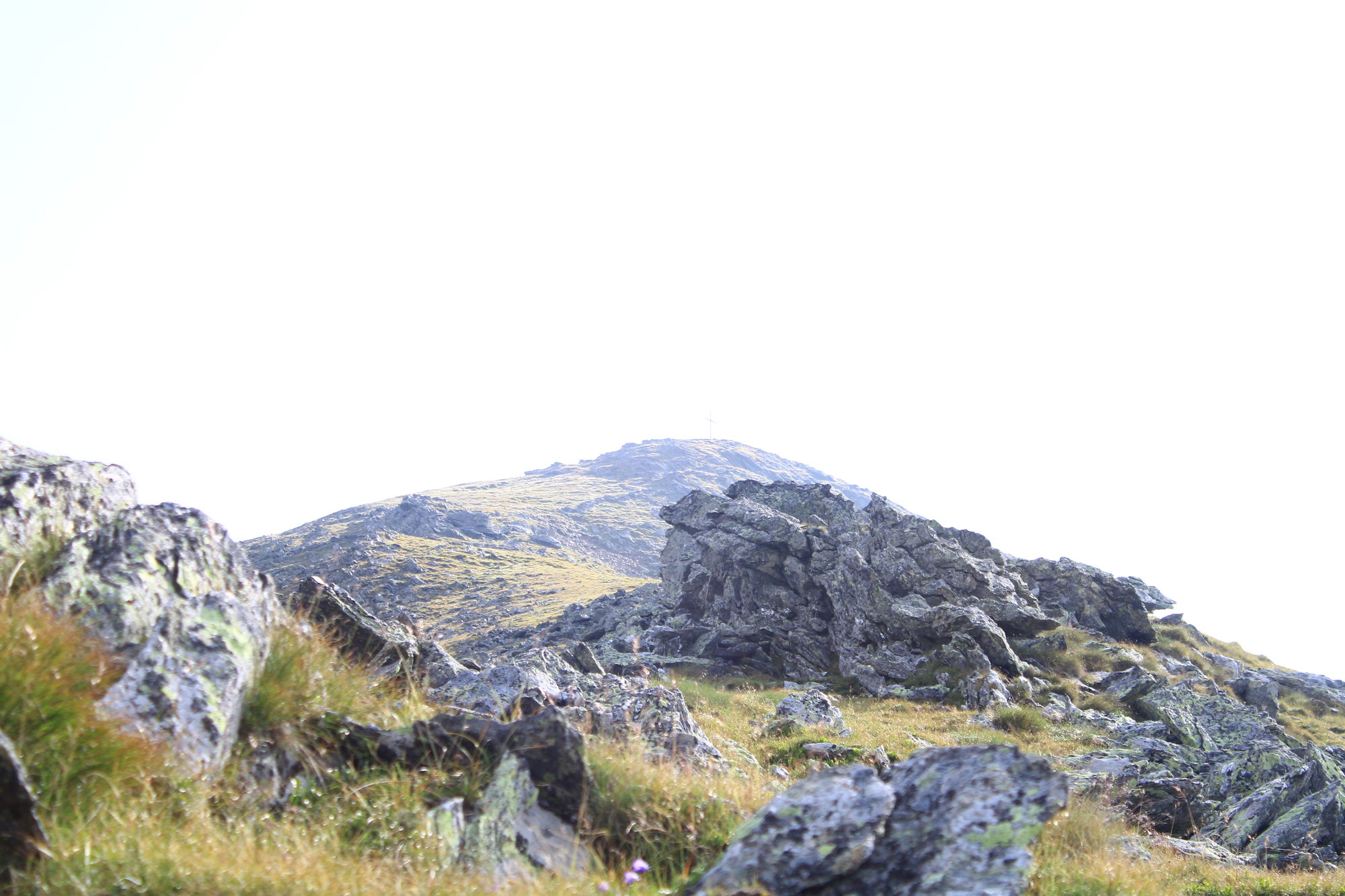
- Korkein kohta
- 2.553 m
- Kohde
-
Etrachsee
- Lepo/Retriitti
-
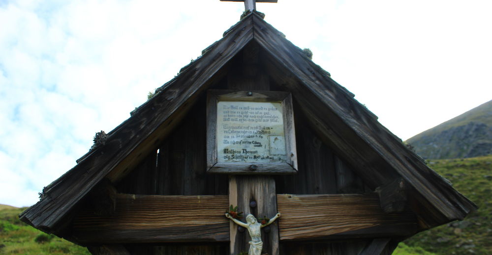
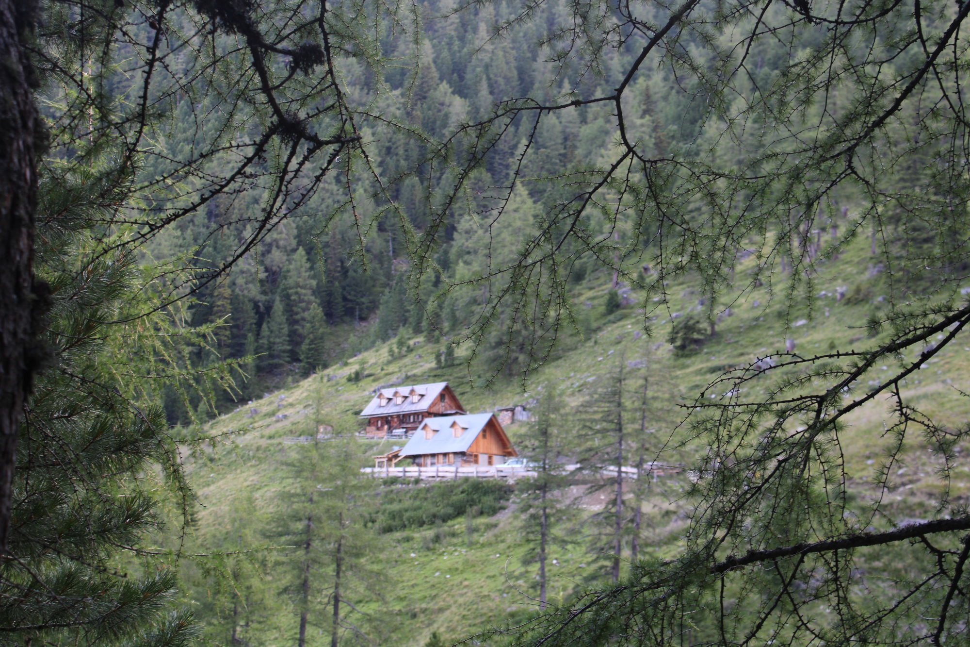
Etrachseehütte

- Lähde
- Erhard Udermann
GPS Downloads
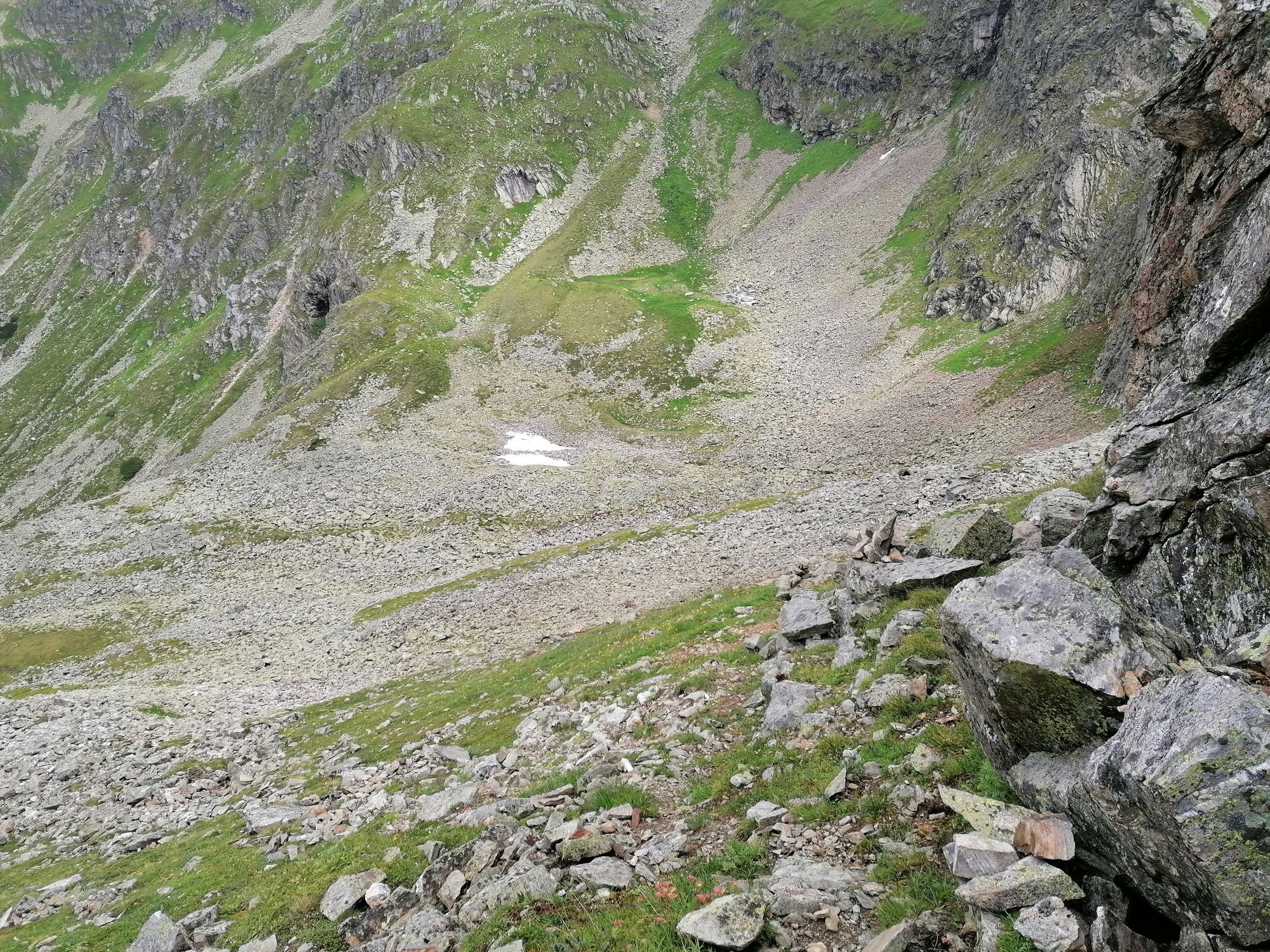
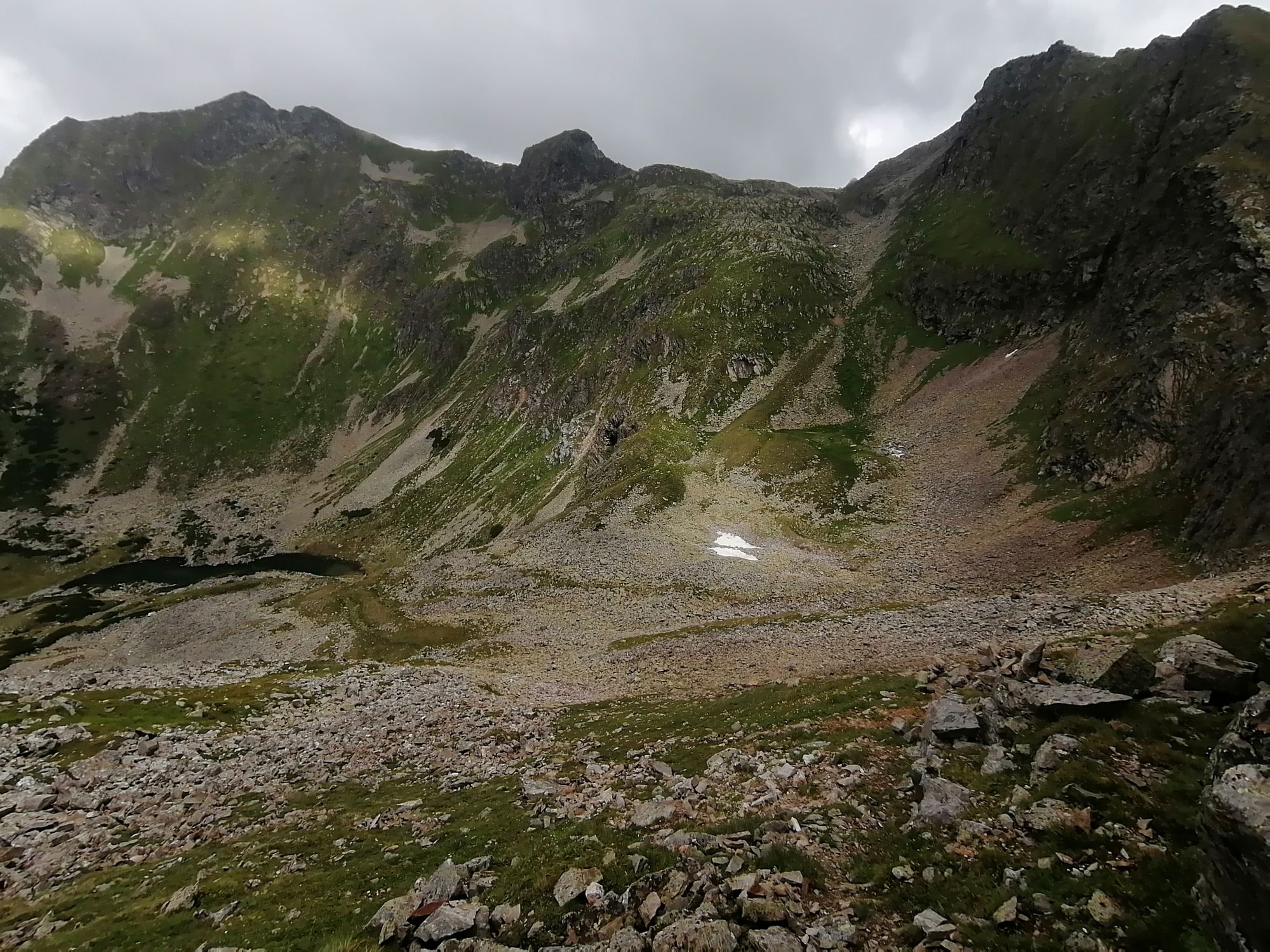
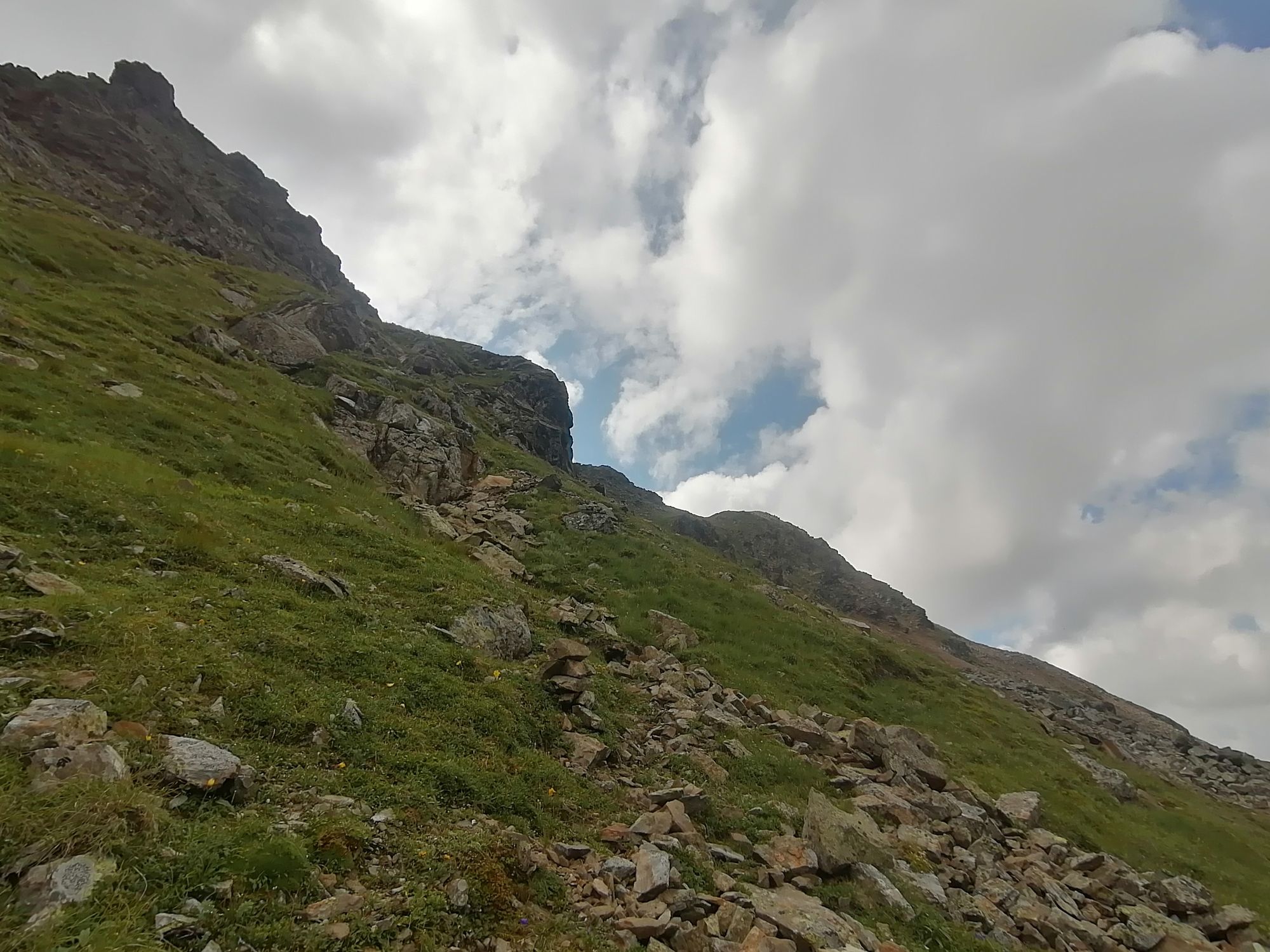
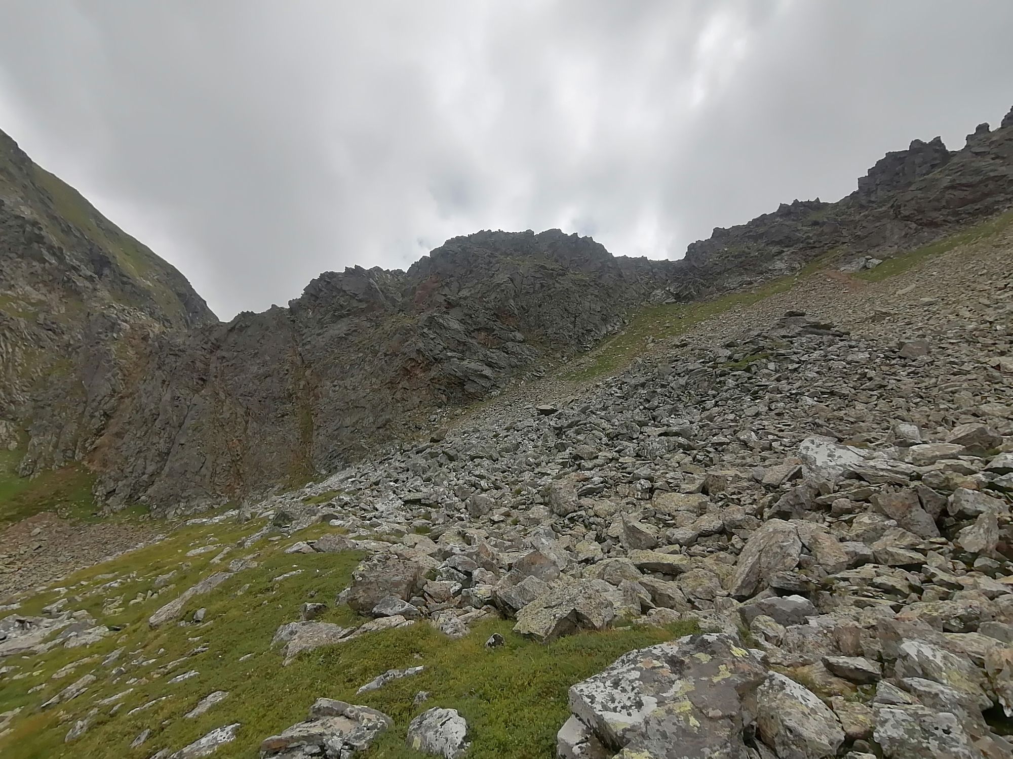
Polun olosuhteet
Asfaltti
Sora
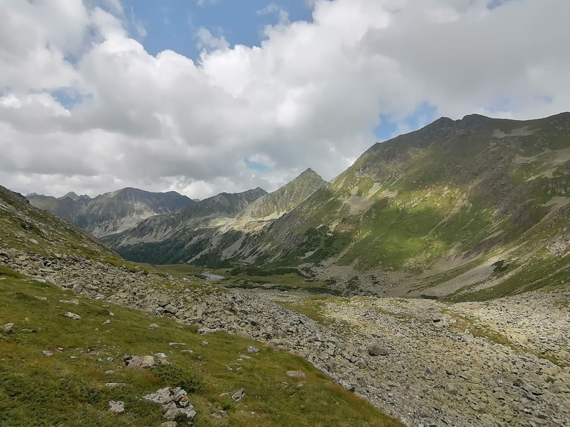
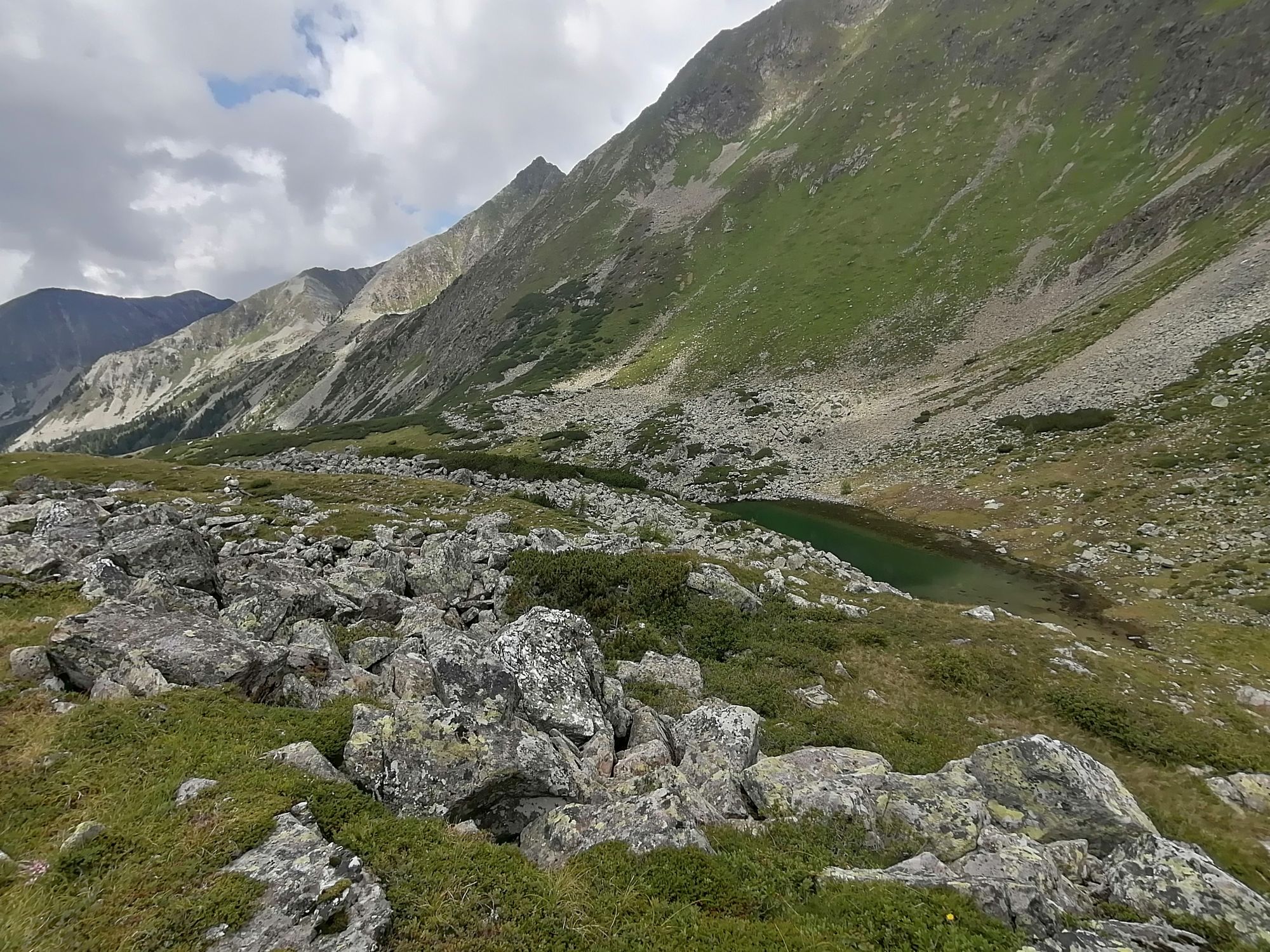
Niitty
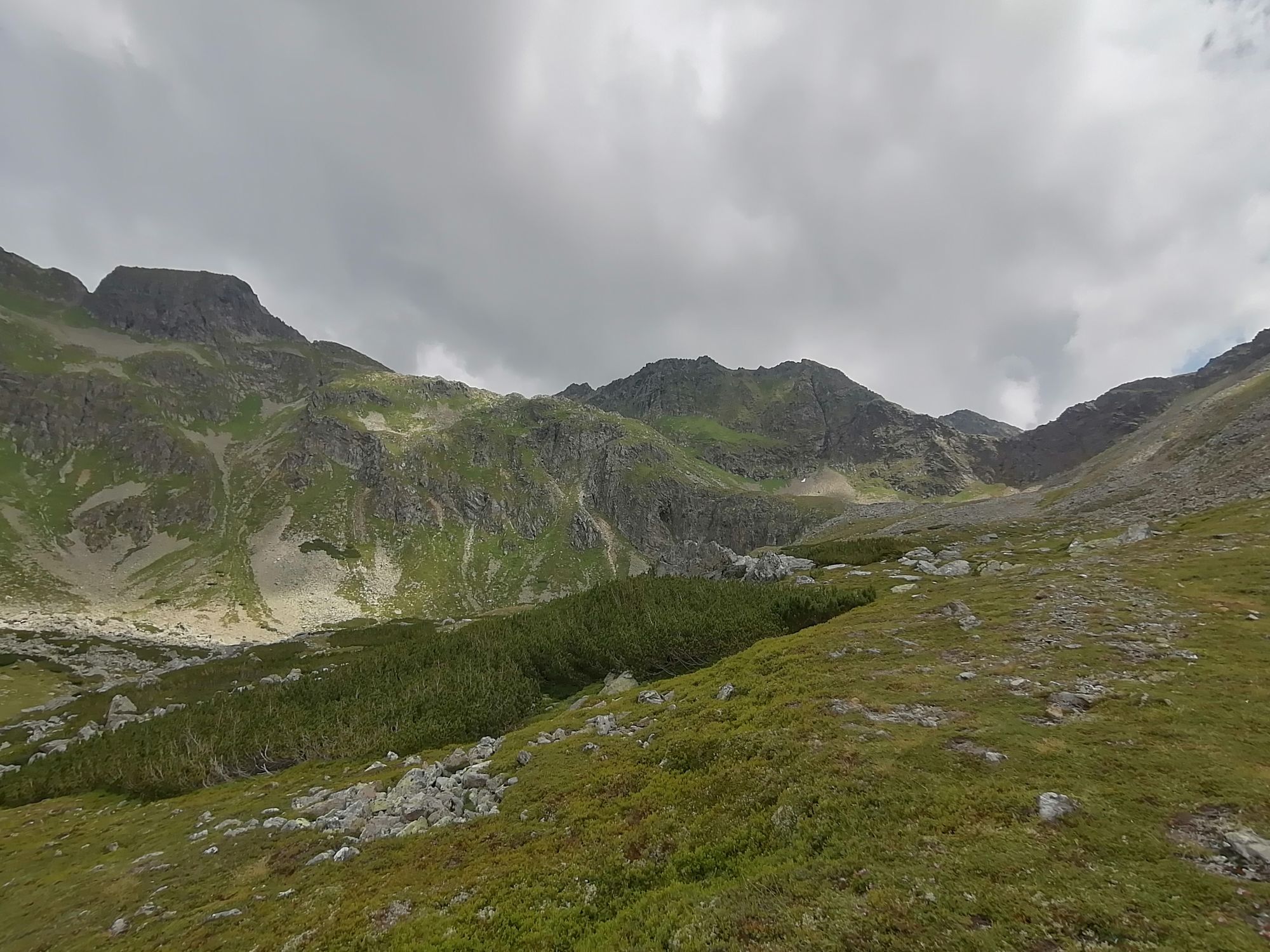
Metsä
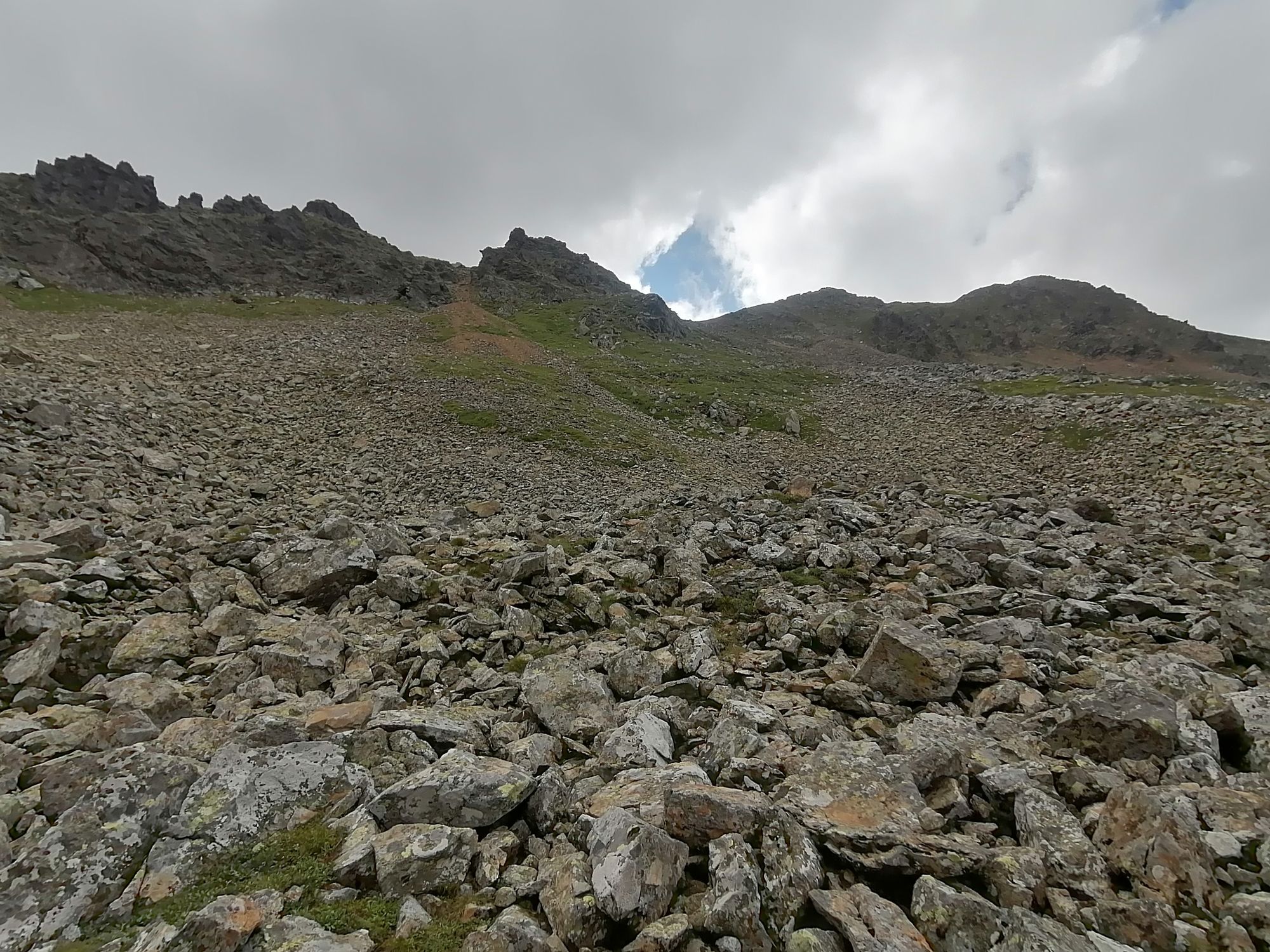
Kallio
Altistettu
Lisää retkiä alueilla


