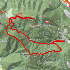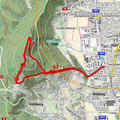

Retkitiedot
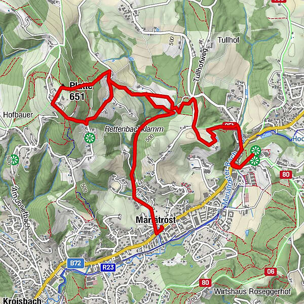
6,34km
411
- 635m
208hm
199hm
03:00h
- Lyhyt kuvaus
-
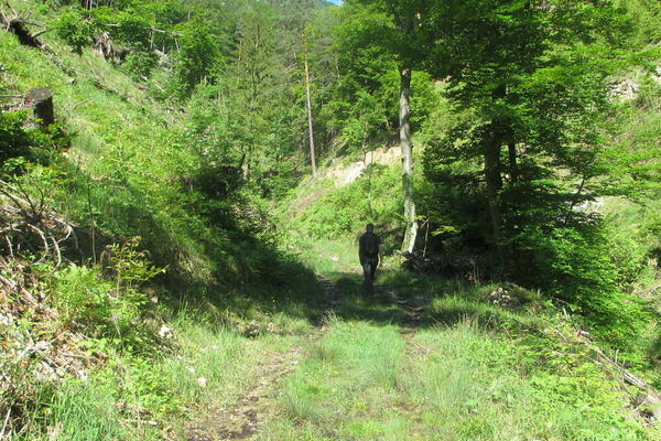
Spaziergang - Wanderung
- Vaikeus
-
helppo
- Arviointi
-
- Lähtöpiste
-
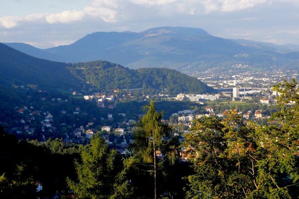
Mariatrosterstraße
- Reitti
-
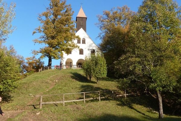
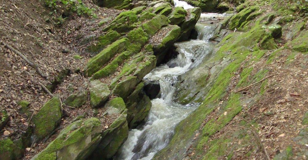
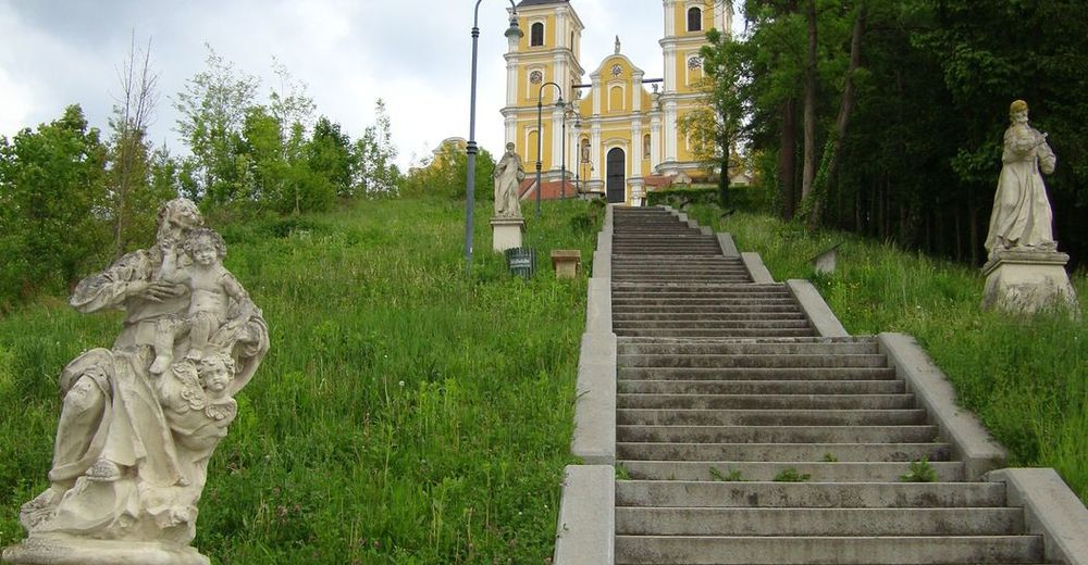
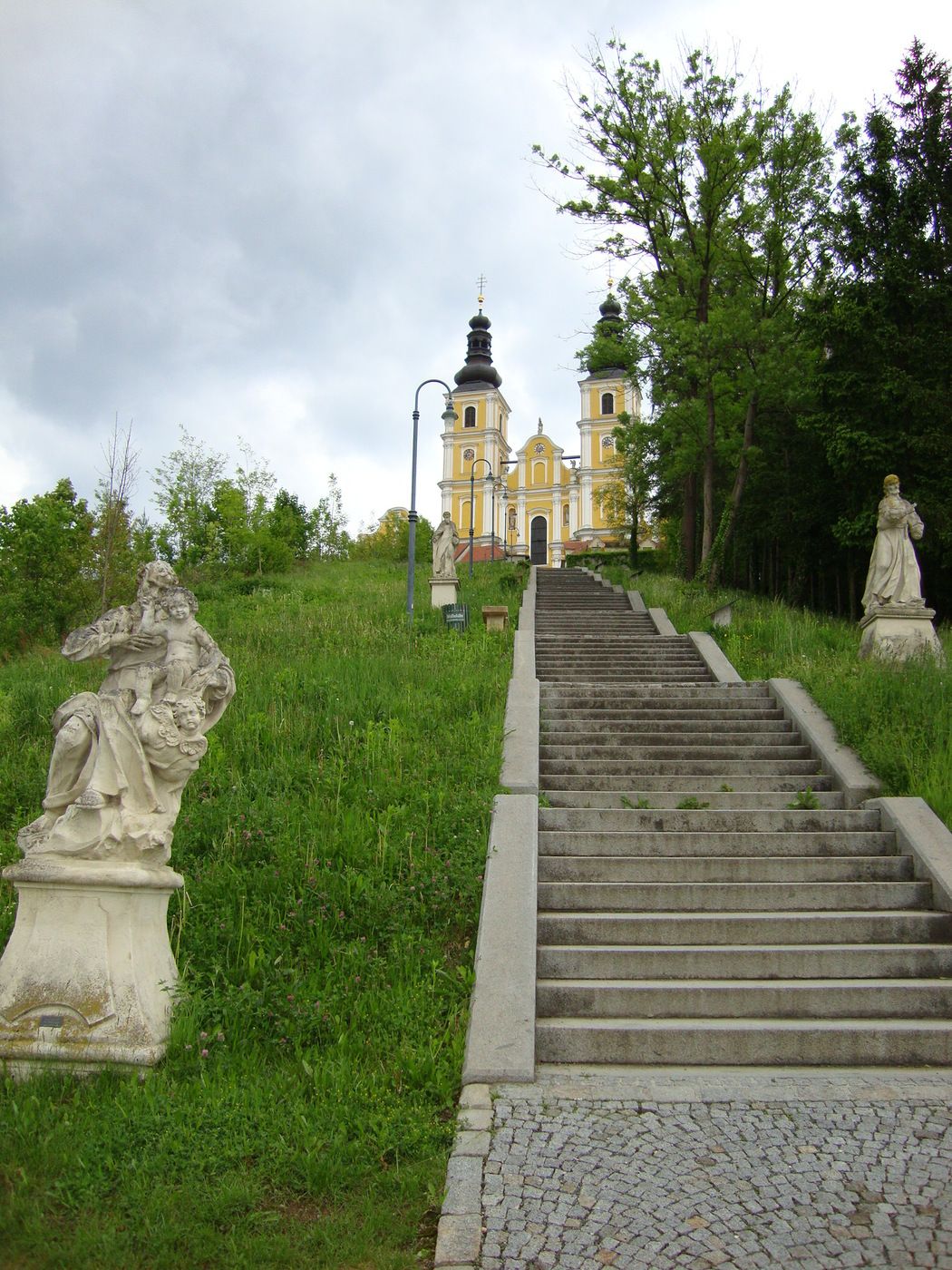
Purberg (470 m)0,2 kmBasilika Mariatrost0,2 kmPlatte (651 m)3,2 kmMariatrost6,2 km
- Paras kausi
-
tammihelmimaalishuhtitoukokesäheinäelosyyslokamarrasjoulu
- Korkein kohta
- Platte Stephanienwarte (635 m)
- Lepo/Retriitti
-
Es sind einige Buschenschanken im Gebiet vorhanden, jedoch nicht direkt am Weg.


GPS Downloads


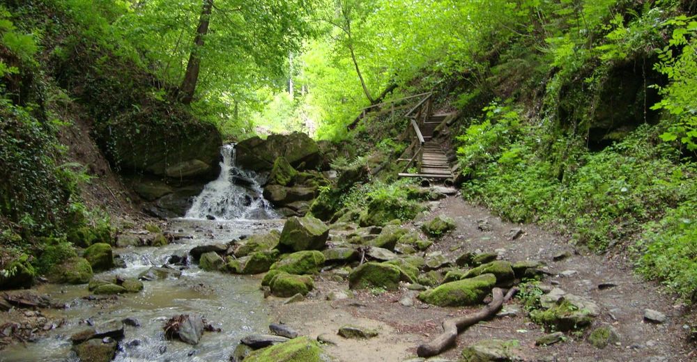
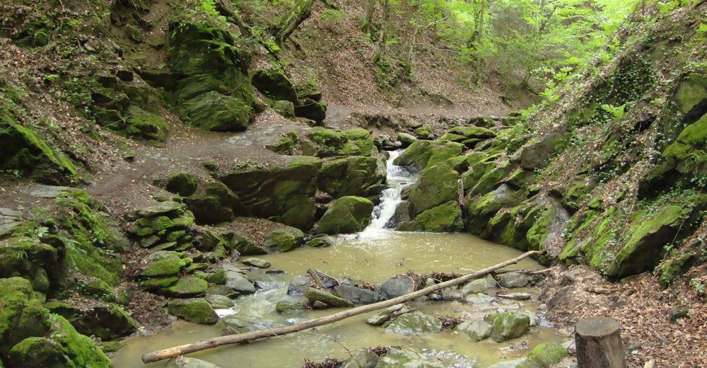
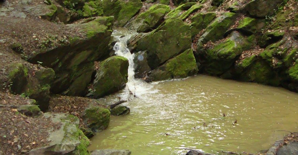
Polun olosuhteet
Asfaltti
Sora
Niitty
Metsä
Kallio
Altistettu
Lisää retkiä alueilla
-
Erlebnisregion Graz
2783
-
Grazer Bergland - Schöcklland
1702
-
Weinitzen
672