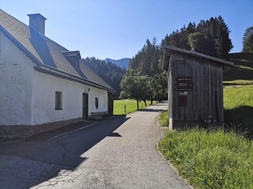
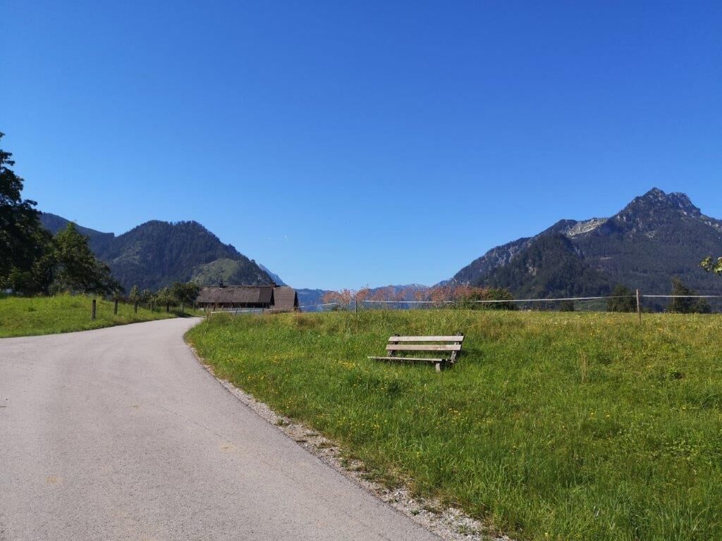
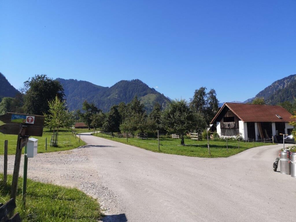
© TV Gesäuse - Tourismusverband Gesäuse

© TV Gesäuse - Tourismusverband Gesäuse
© TV Gesäuse - Tourismusverband Gesäuse

© TV Gesäuse - Tourismusverband Gesäuse

© TV Gesäuse - Tourismusverband Gesäuse

© TV Gesäuse - Tourismusverband Gesäuse
© TV Gesäuse - Tourismusverband Gesäuse

© TV Gesäuse - Tourismusverband Gesäuse

© TV Gesäuse - Tourismusverband Gesäuse

© TV Gesäuse - Tourismusverband Gesäuse

- Lyhyt kuvaus
-
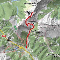
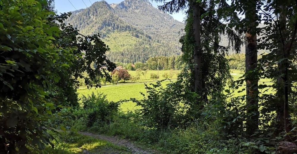
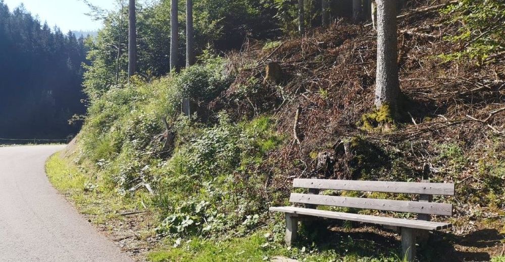
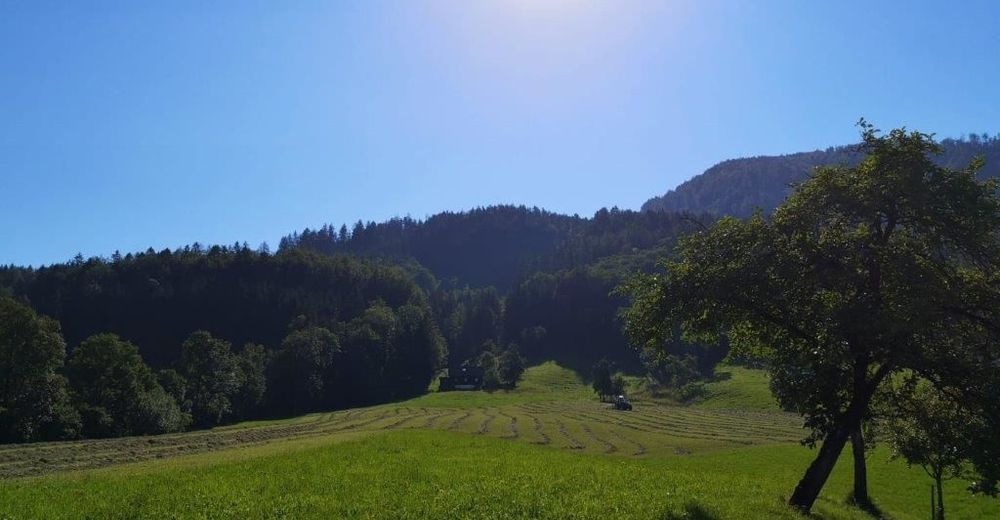
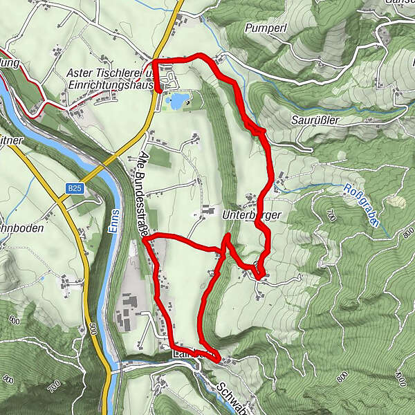
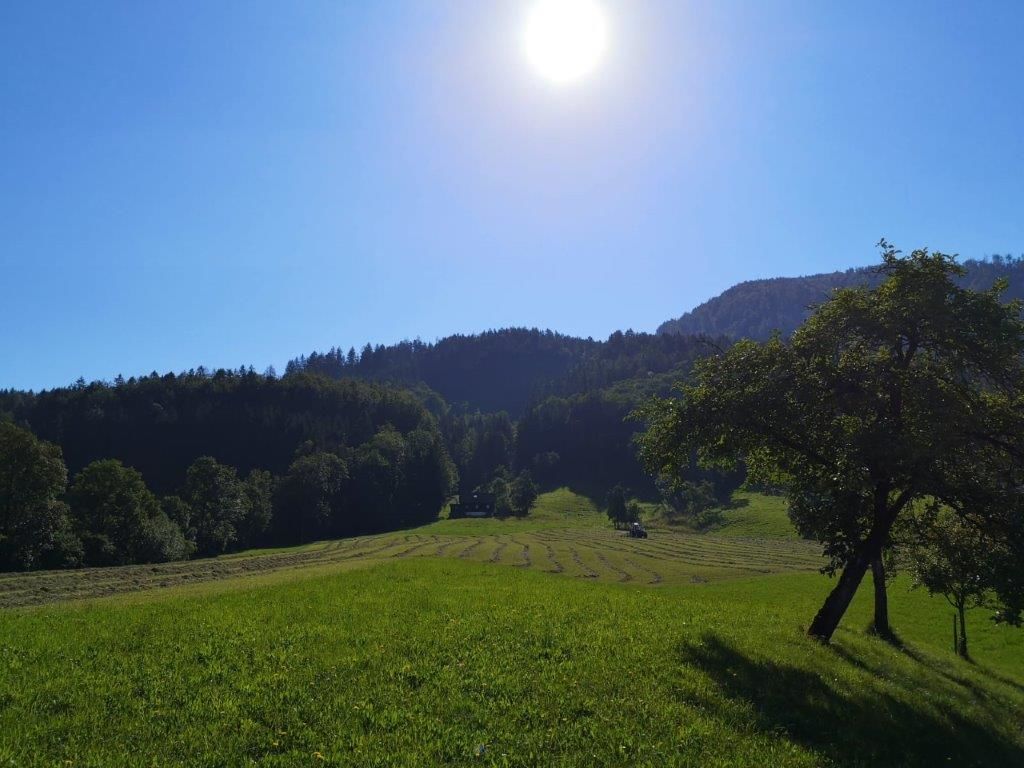
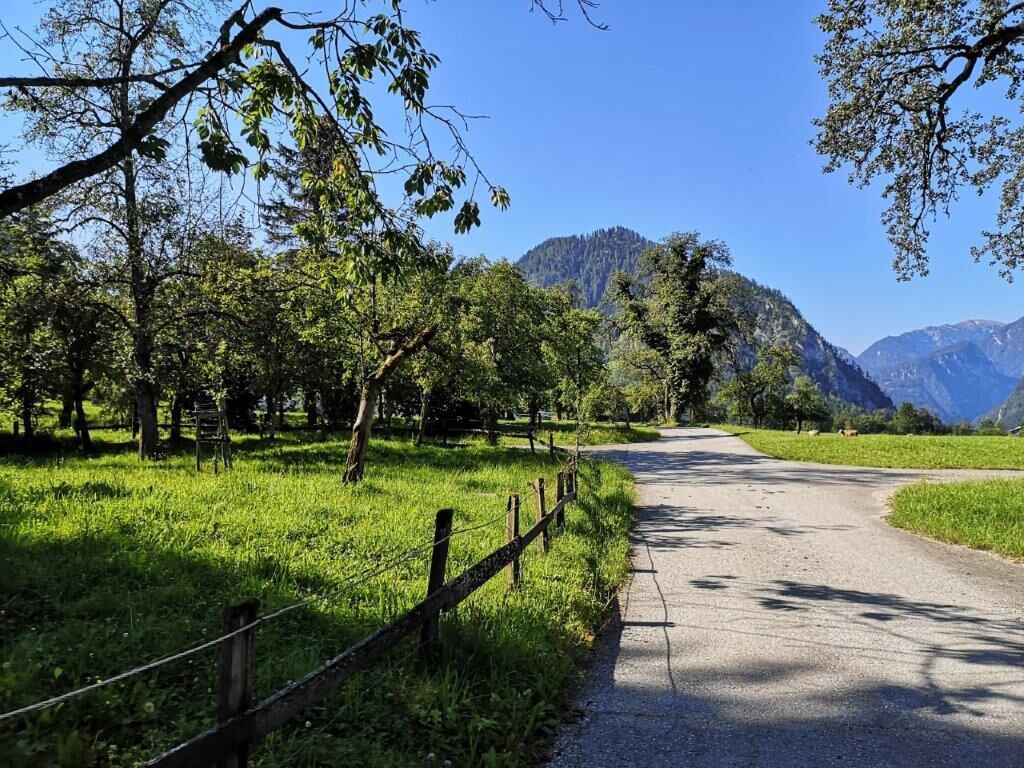
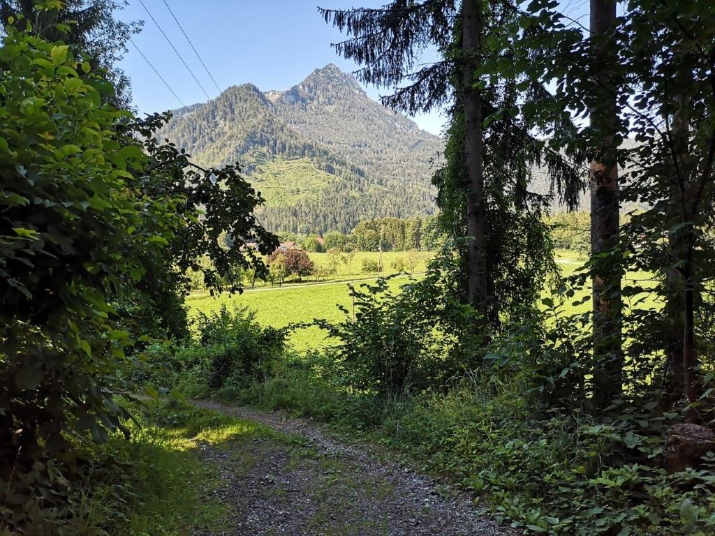
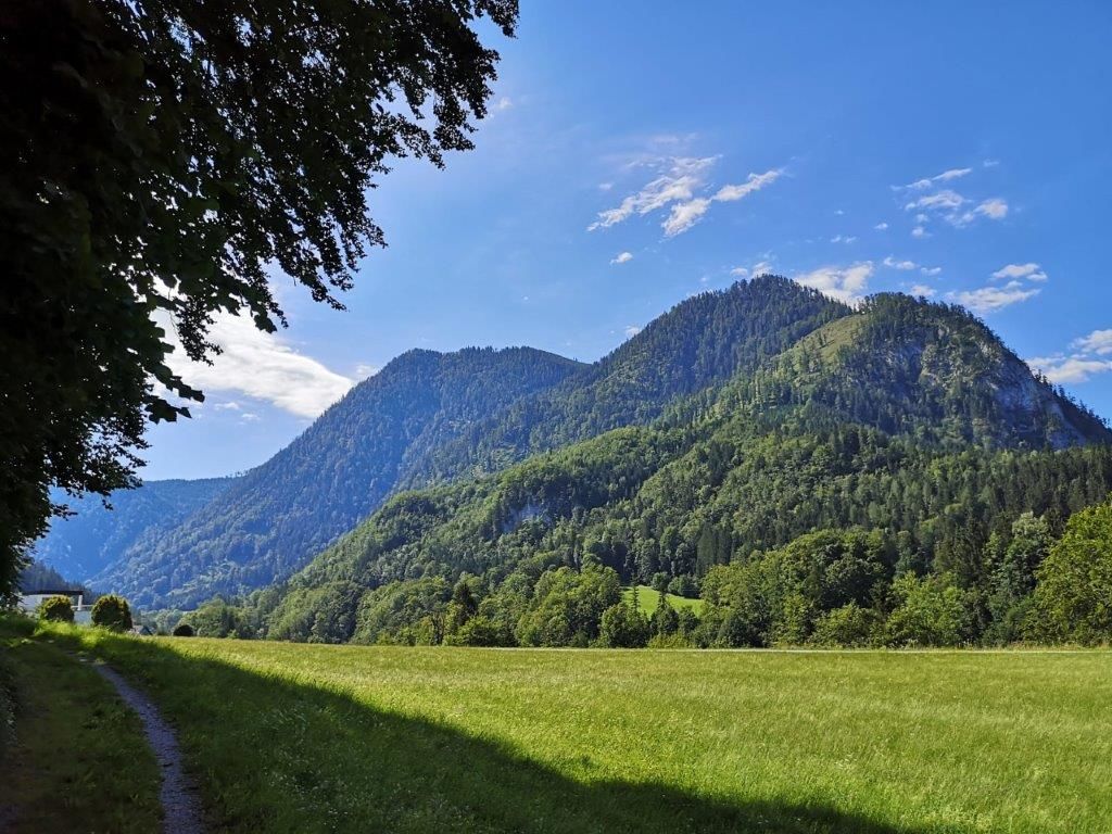
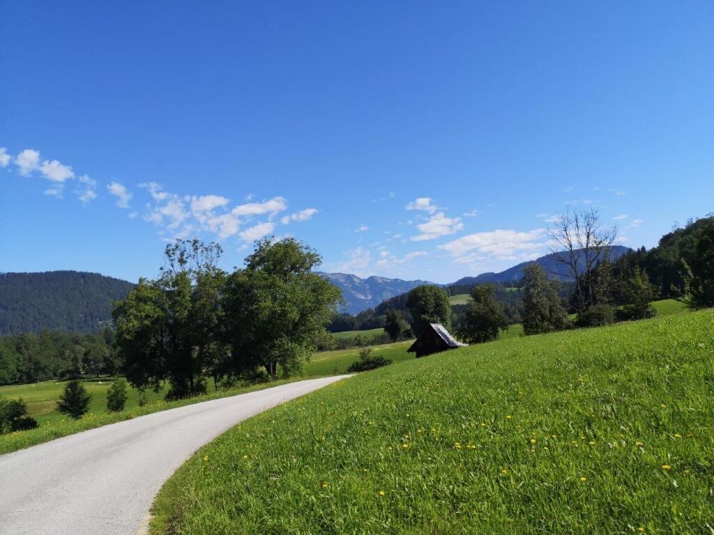
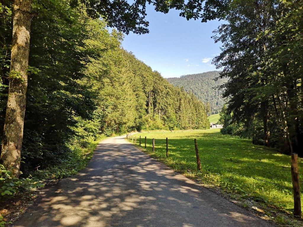
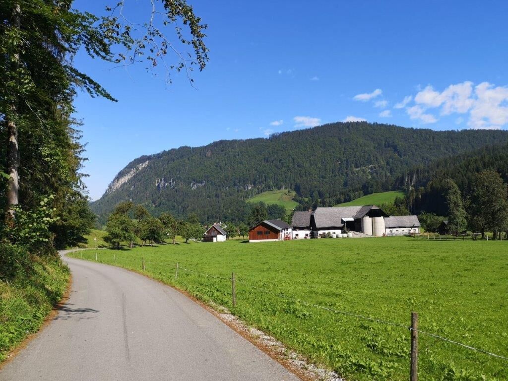
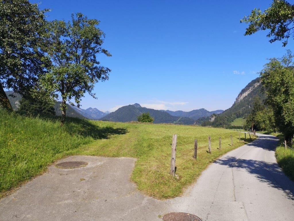
Landler Trail #9 is a bit more challenging as the walking time is about 2 hours and the gradient is about easy to medium steep. The trail is still suitable for families, but sturdy shoes should be used. There are always places to sit down and have a short rest.
- Vaikeus
-
tapa
- Arviointi
-
- Reitti
-
Gasthaus Mooswirt0,1 kmMooslandl0,2 kmLainbach4,0 kmMooslandl7,4 kmGasthaus Mooswirt7,5 km
- Paras kausi
-
tammihelmimaalishuhtitoukokesäheinäelosyyslokamarrasjoulu
- Korkein kohta
- 605 m
- Kohde
-
Badeteich in Mooslandl
- Korkeusprofiili
-


-

-
KirjoittajaKiertue Landler Country walk #9 käyttää outdooractive.com toimitettu.
GPS Downloads


Yleistä tietoa
Virvokepysäkki
 & Kaiserschild (rechts)")

")