


Retkitiedot
10,12km
1.438
- 1.885m
530hm
526hm
05:00h
- Lyhyt kuvaus
-
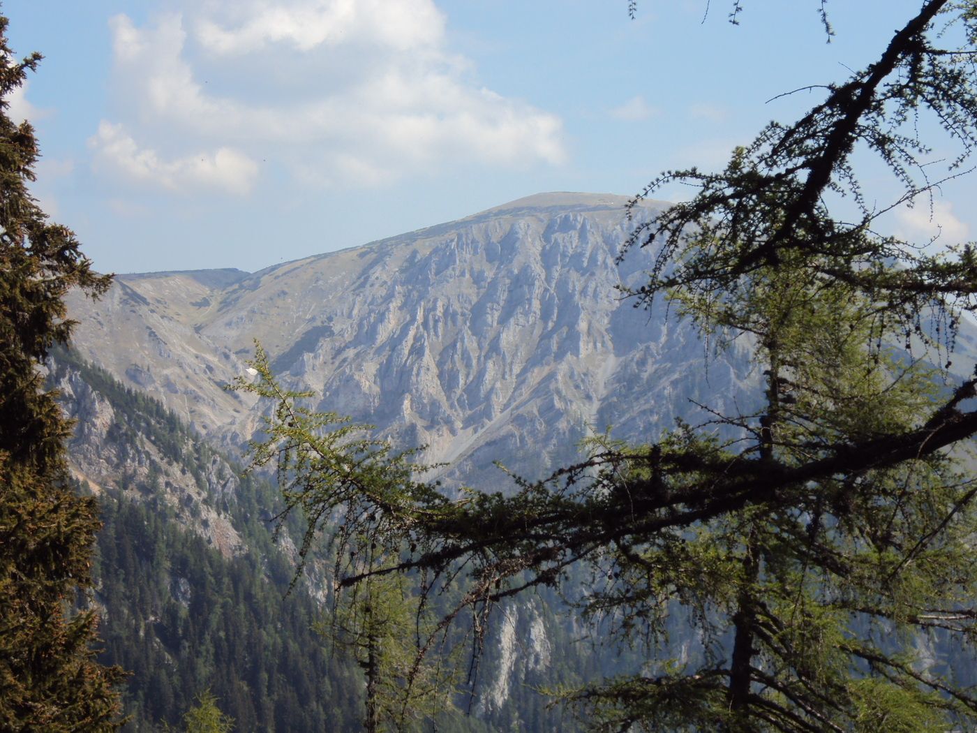
Ein "aussichtsreicher" Tagesausflug ins Hochgebirge auf gut markierten Wegen.
- Vaikeus
-
helppo
- Arviointi
-
- Lähtöpiste
-
1462m hoch gelegener Kohlebnerstand (Parkplatz), über Schneealmmautstraße erreichbar
- Reitti
-
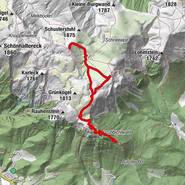
Kohlebnerstand0,0 kmSchneealpenhaus3,5 kmSchauerkogel (1.788 m)3,5 kmMichlbauerhütte4,3 kmWindberg (1.903 m)5,5 kmZwischen die Kögel7,1 kmKohlebnerstand10,1 km
- Paras kausi
-
tammihelmimaalishuhtitoukokesäheinäelosyyslokamarrasjoulu
- Korkein kohta
- 1.885 m
- Lepo/Retriitti
-
Michlbauerhütte, Schneealpenhaus, Lurgbauerhütte
GPS Downloads


Polun olosuhteet
Asfaltti
Sora
Niitty
Metsä
Kallio
Altistettu
Lisää retkiä alueilla
-
Hochsteiermark
4082
-
Naturpark Mürzer Oberland
1936
-
Neuberg an der Mürz
433


