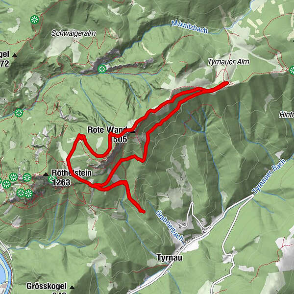
Tyrnau - Rote Wand - Tyrnauer Almhütte

Logo Tyrnau - Rote Wand - Tyrnauer Almhütte
Retkitiedot
10,7km
858 - 1.473m
Distanz
607hm
Nousu
02:42h
 
Kesto
Lyhyt kuvaus

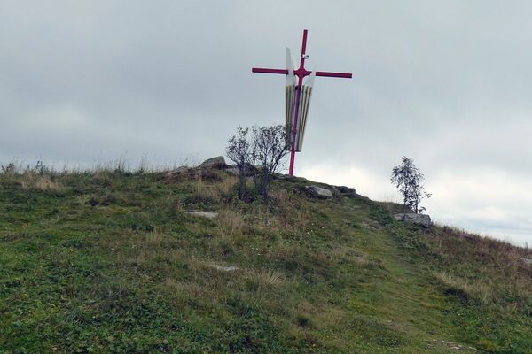
Gemütliche Wanderung

Arviointi
Tekniikka
Kunto
Maisema
Elämys
Korkein kohta
1.473 m

Yleinen luokitus

5

0

%

4

0

%

3

0

%

2

0

%

1

0

%

Virhe
On tapahtunut virhe. Yritä uudelleen.
Kiitos arvostelusta

Luokitus poistettiin

GPS Downloads
  • GPX GPS Exchange Format (XML)
  • KML Google Earth, Google Maps
QR-latauskoodit matkapuhelimiin
Lisää retkiä alueilla

Suosittuja retkiä alueella

Mugel

helppo
12,23km | 863hm | 04:00h

Von Bruck an der Mur auf den Hochanger

tapa
12,86km | 777hm | 05:00h

Hochlantsch Hiking Tour

vaikea
11,49km | 554hm | 04:30h

Teichalm - Rote Wand

vaikea
17,22km | 762hm | 05:00h