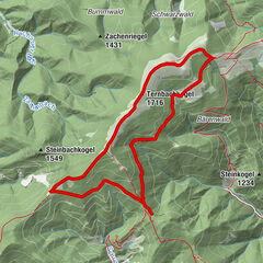
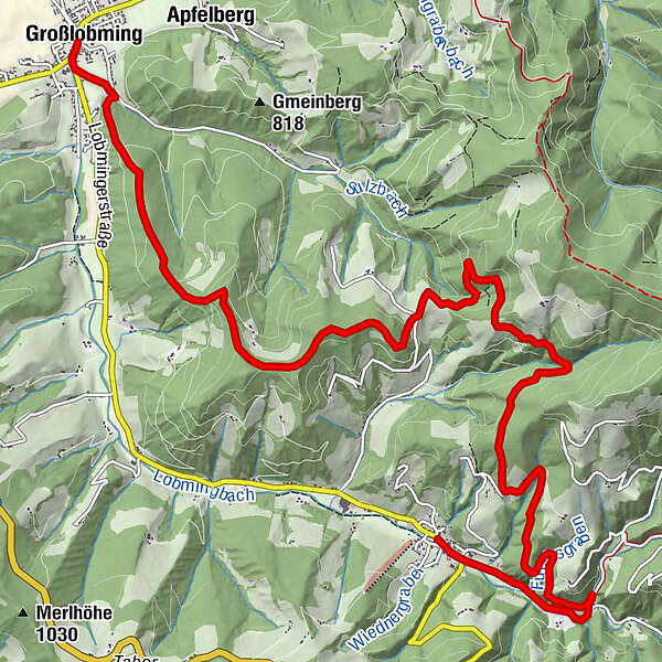
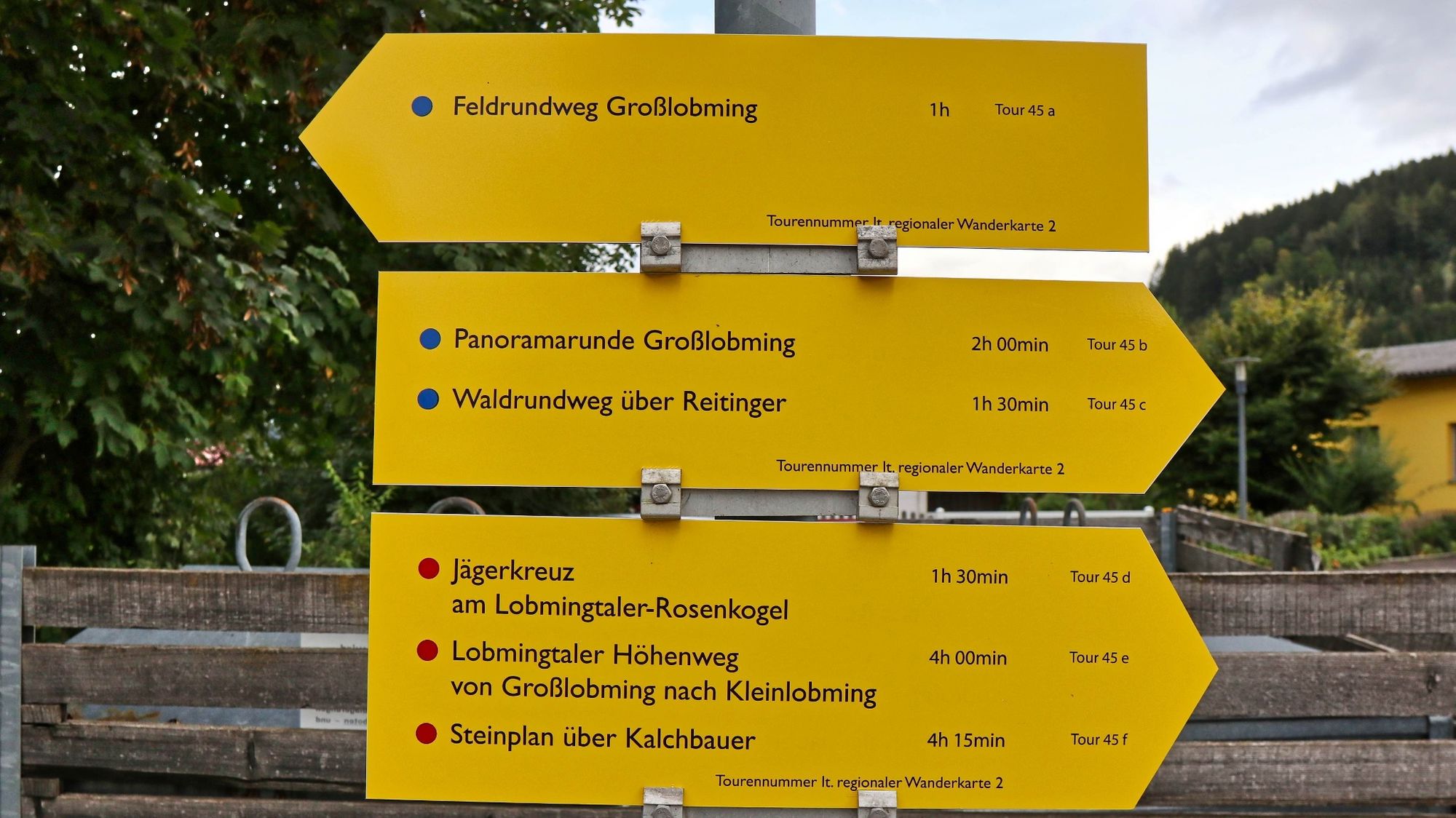
Lobmingtaler Höhenweg - A long-distance hike from Großlobming to Kleinlobming


© WEGES OG

© WEGES OG

© WEGES OG

© WEGES OG

© WEGES OG

© WEGES OG

© WEGES OG

© WEGES OG

© WEGES OG

© WEGES OG

- Lyhyt kuvaus
-
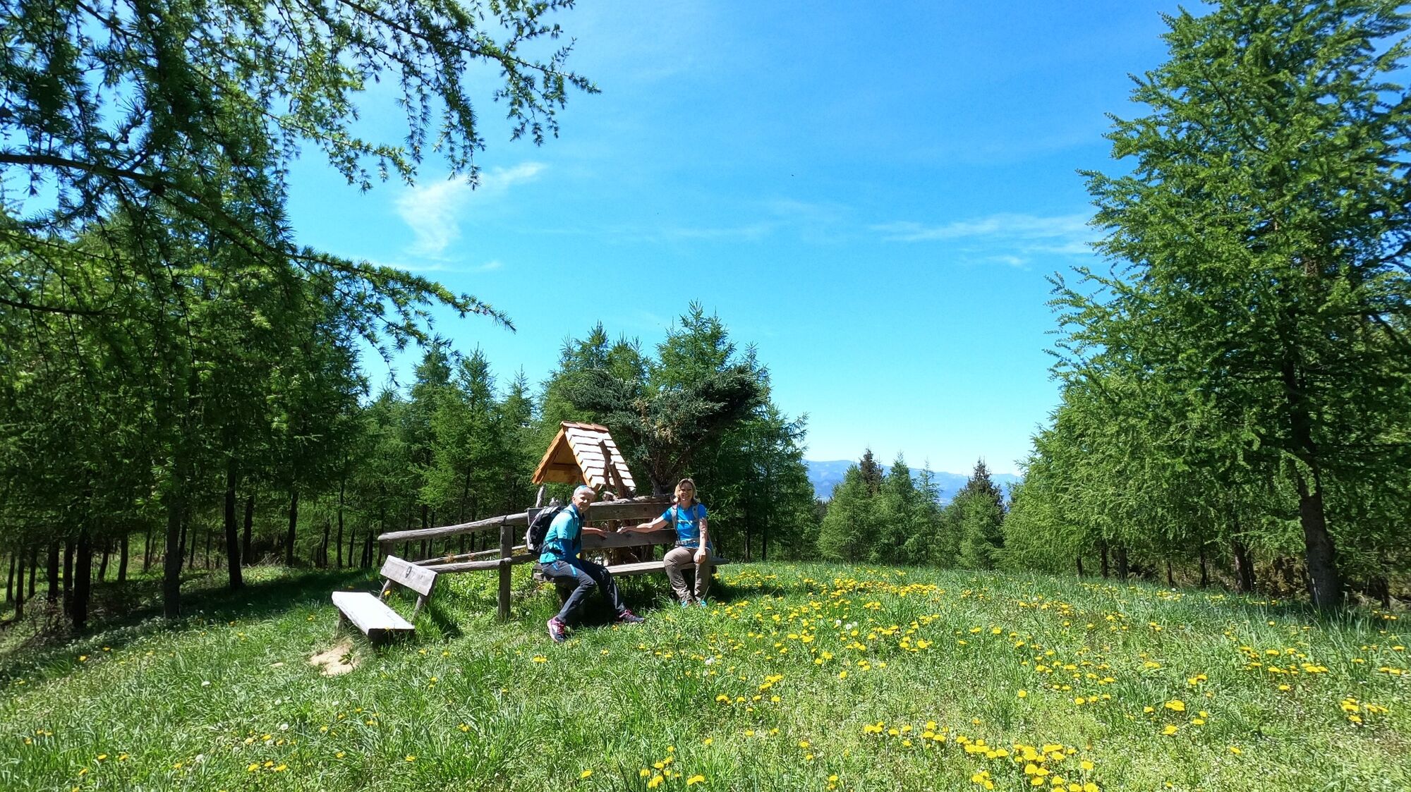
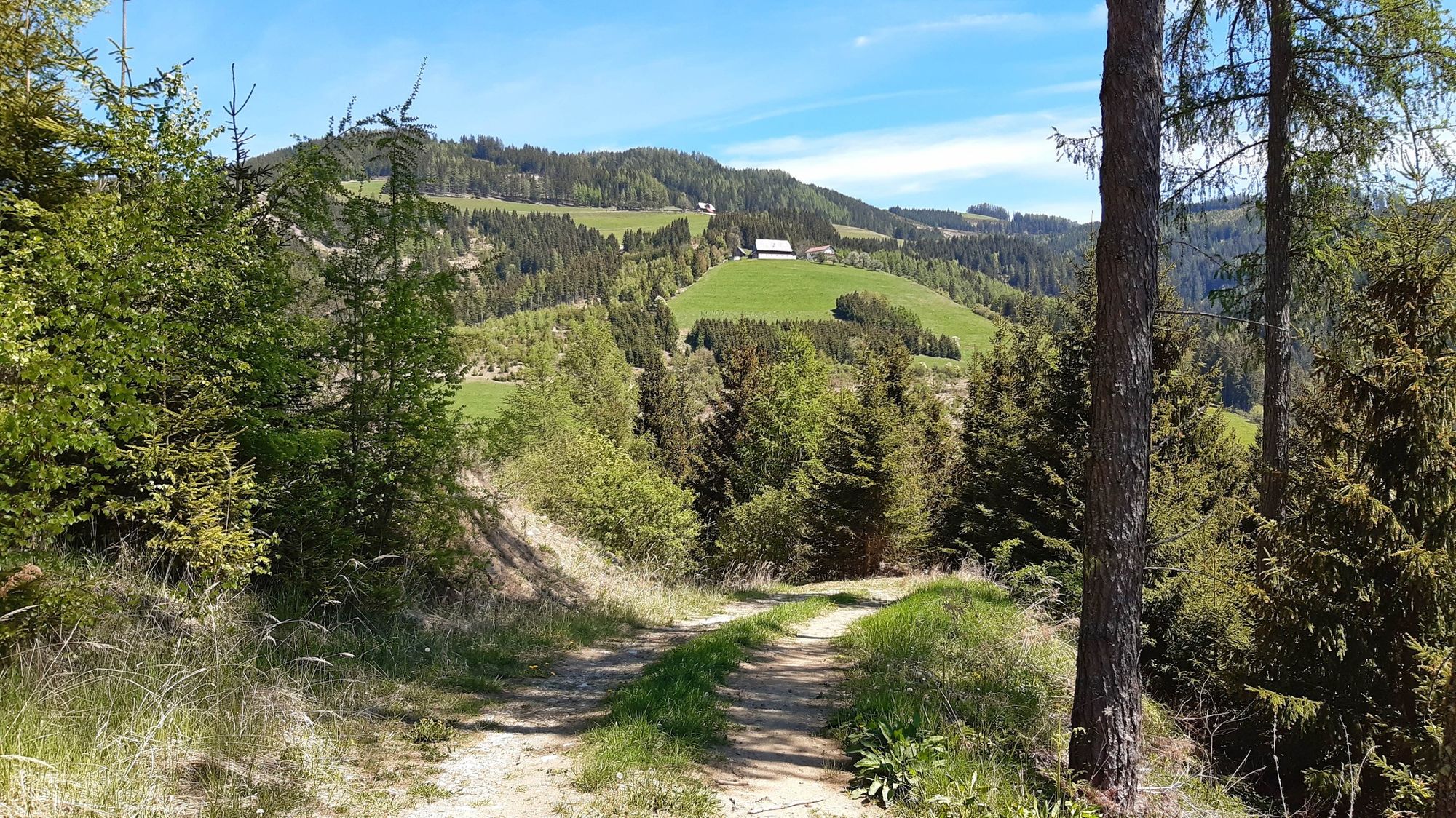
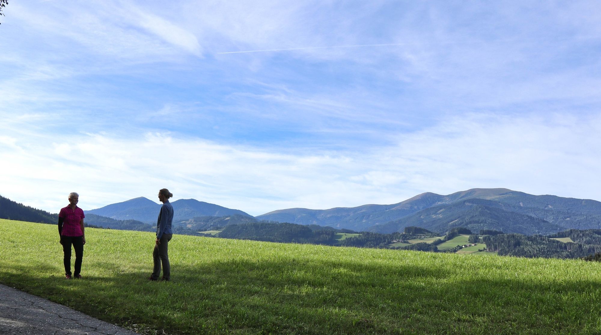
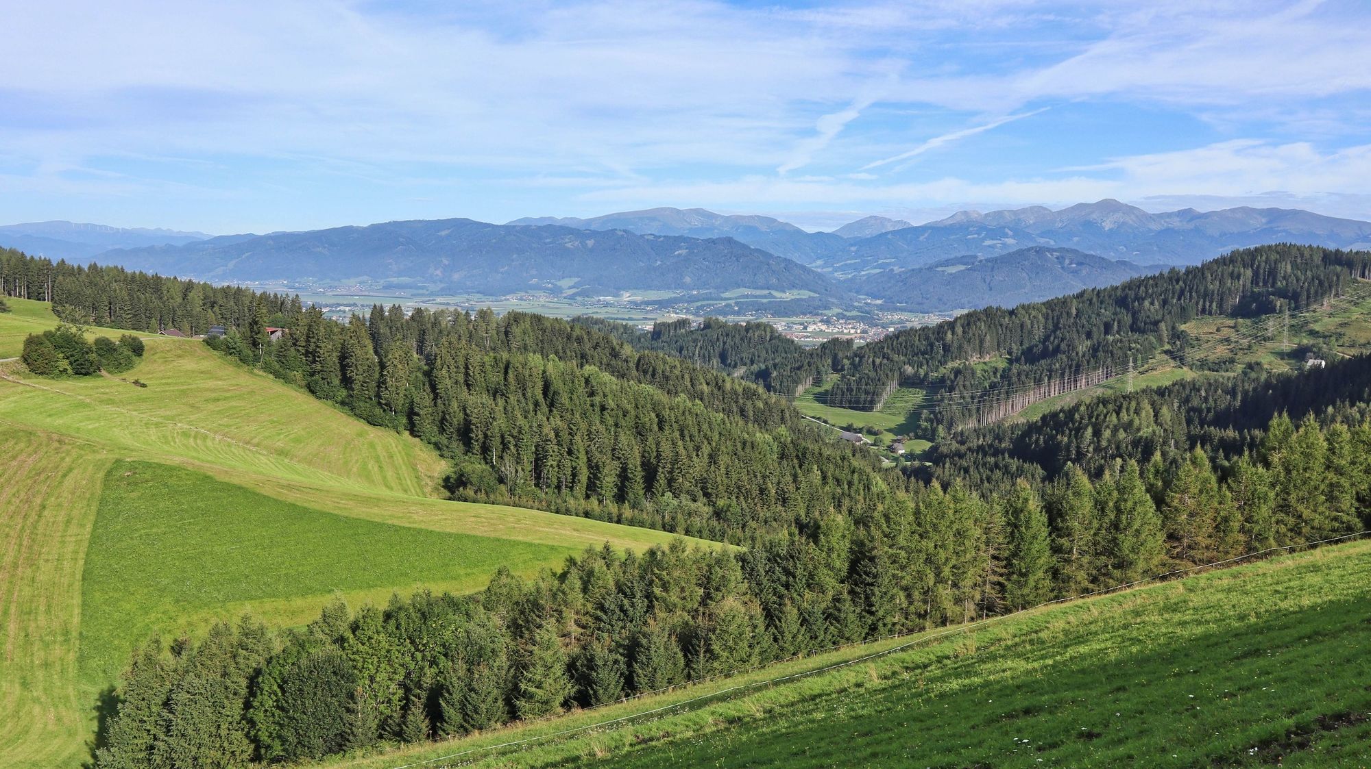
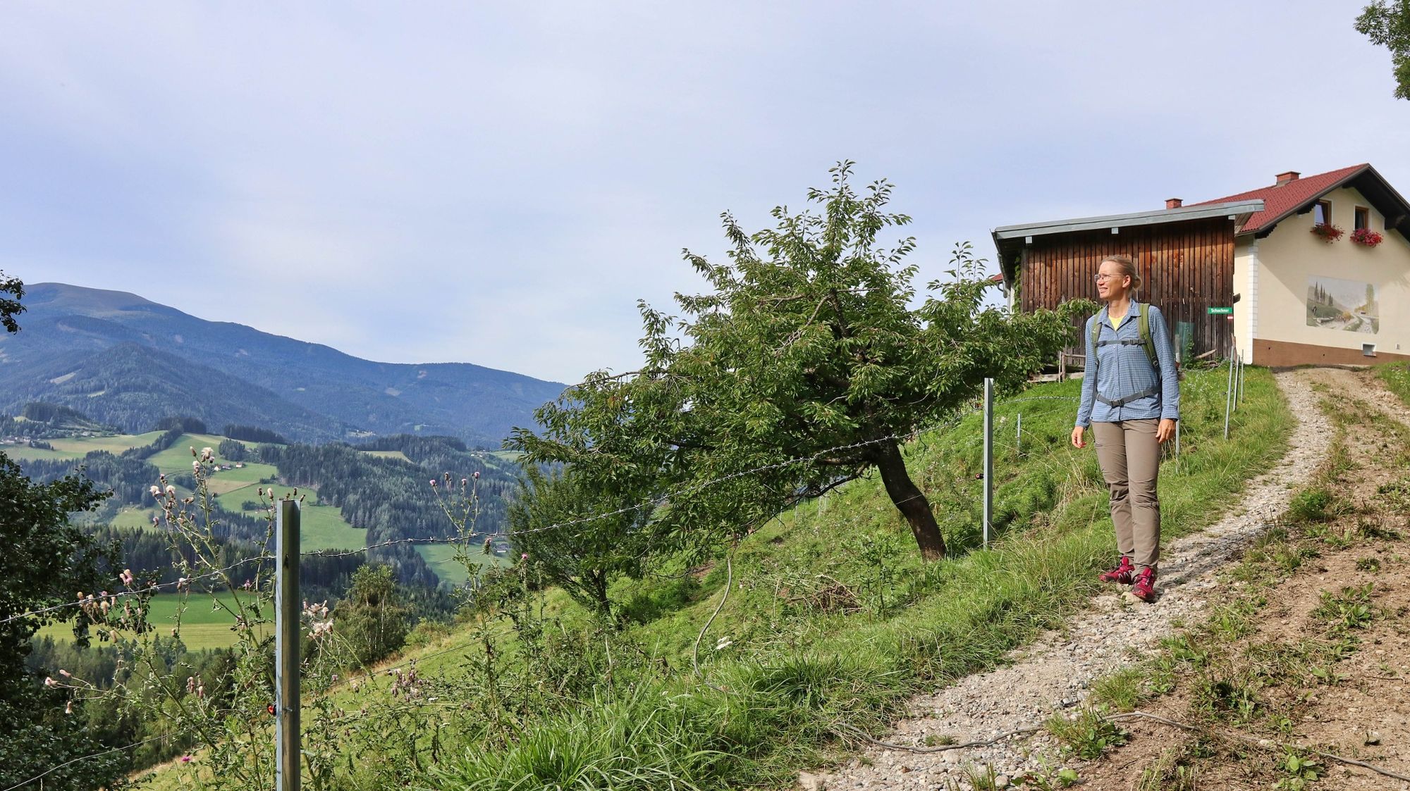
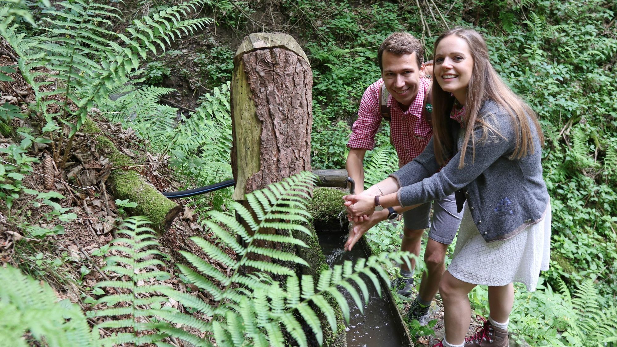
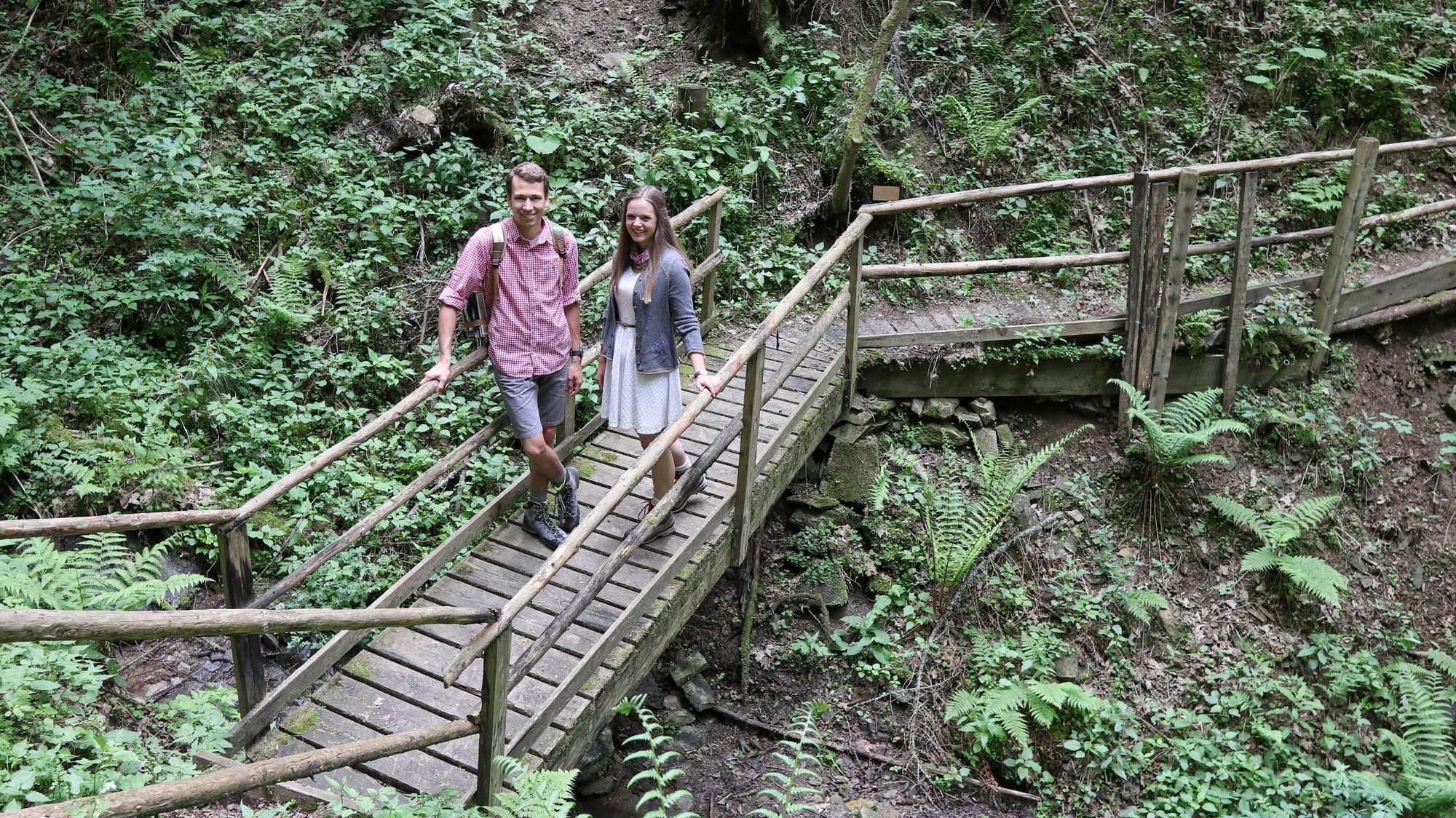
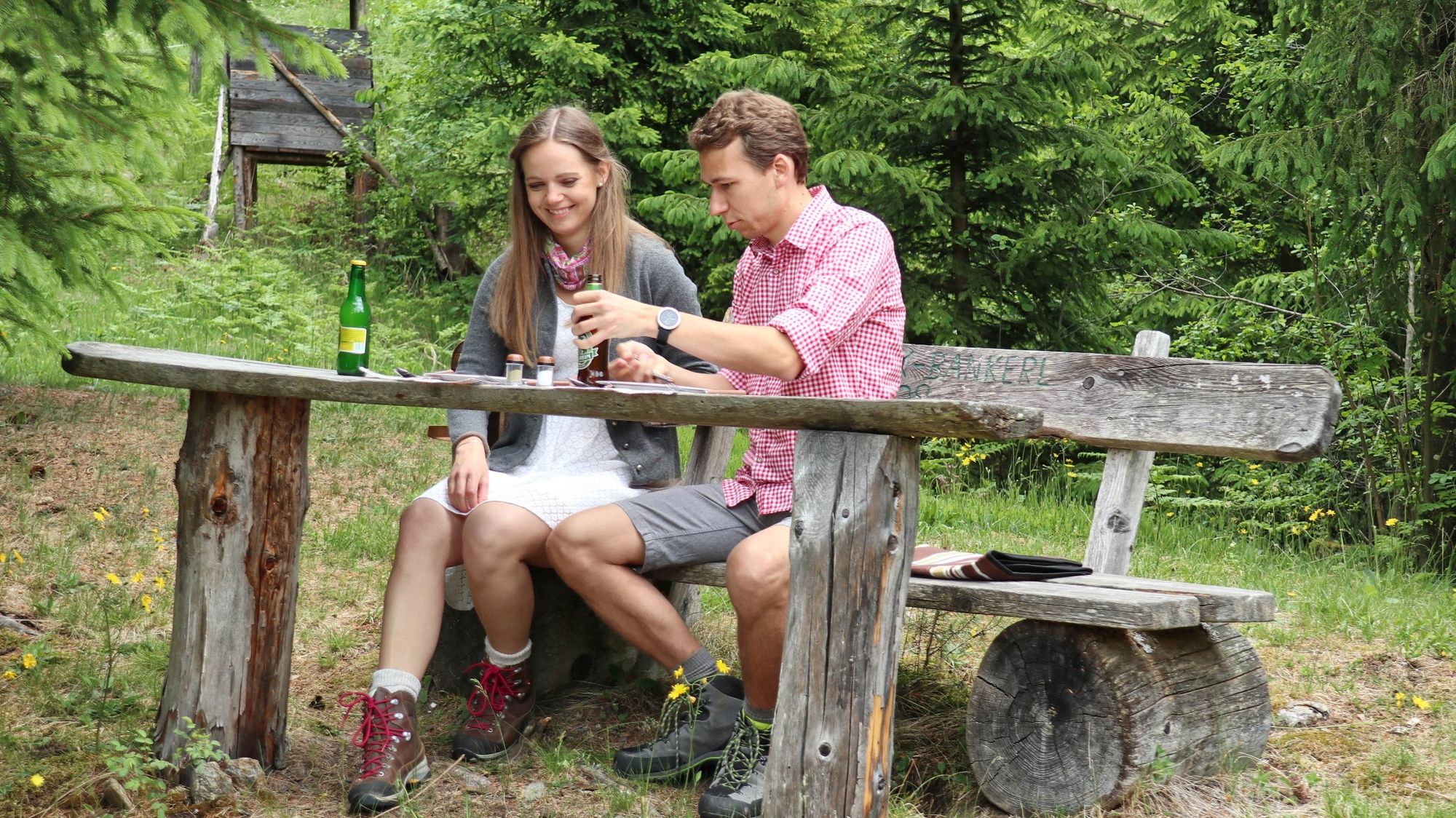
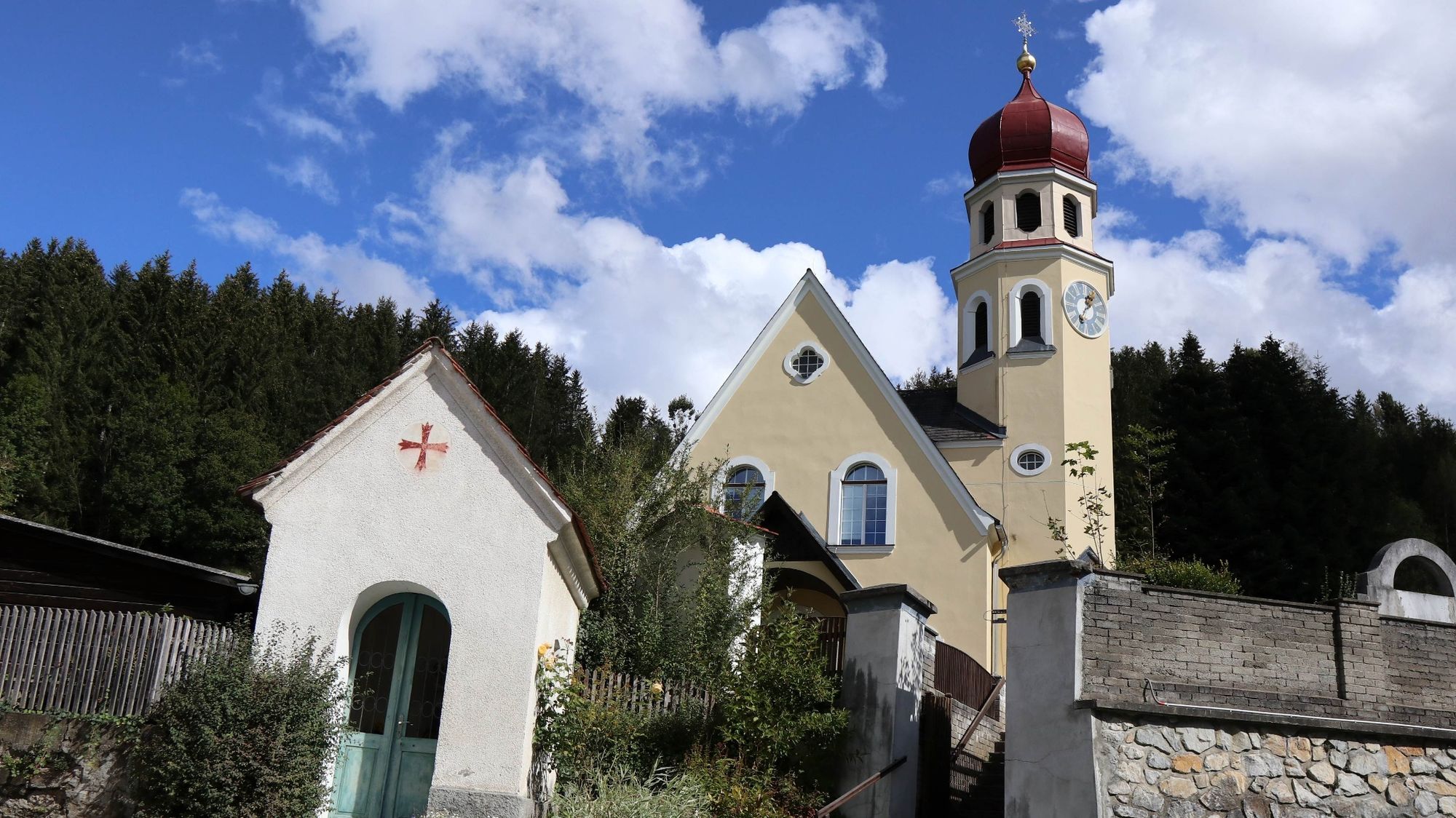
The hiking trail connects Großlobming and Kleinlobming. Along forest and meadow paths, with panoramic spots, you get to know the Lombingtal municipality in the Murtal region very well.
- Vaikeus
-
tapa
- Arviointi
-
- Reitti
-
GroßlobmingSonnenberg (986 m)3,3 kmKleinlobming12,7 km
- Paras kausi
-
tammihelmimaalishuhtitoukokesäheinäelosyyslokamarrasjoulu
- Korkein kohta
- 1.054 m
- Kohde
-
Kleinlobming
- Korkeusprofiili
-


- Kirjoittaja
-
Kiertue Lobmingtaler Höhenweg - A long-distance hike from Großlobming to Kleinlobming käyttää outdooractive.com toimitettu.
GPS Downloads


Yleistä tietoa
Sisäpiirin vinkki
Lupaava
Lisää retkiä alueilla
-
Erlebnisregion Murtal
1782
-
Steirisches Zirbenland
711
-
Lobmingtal
169