

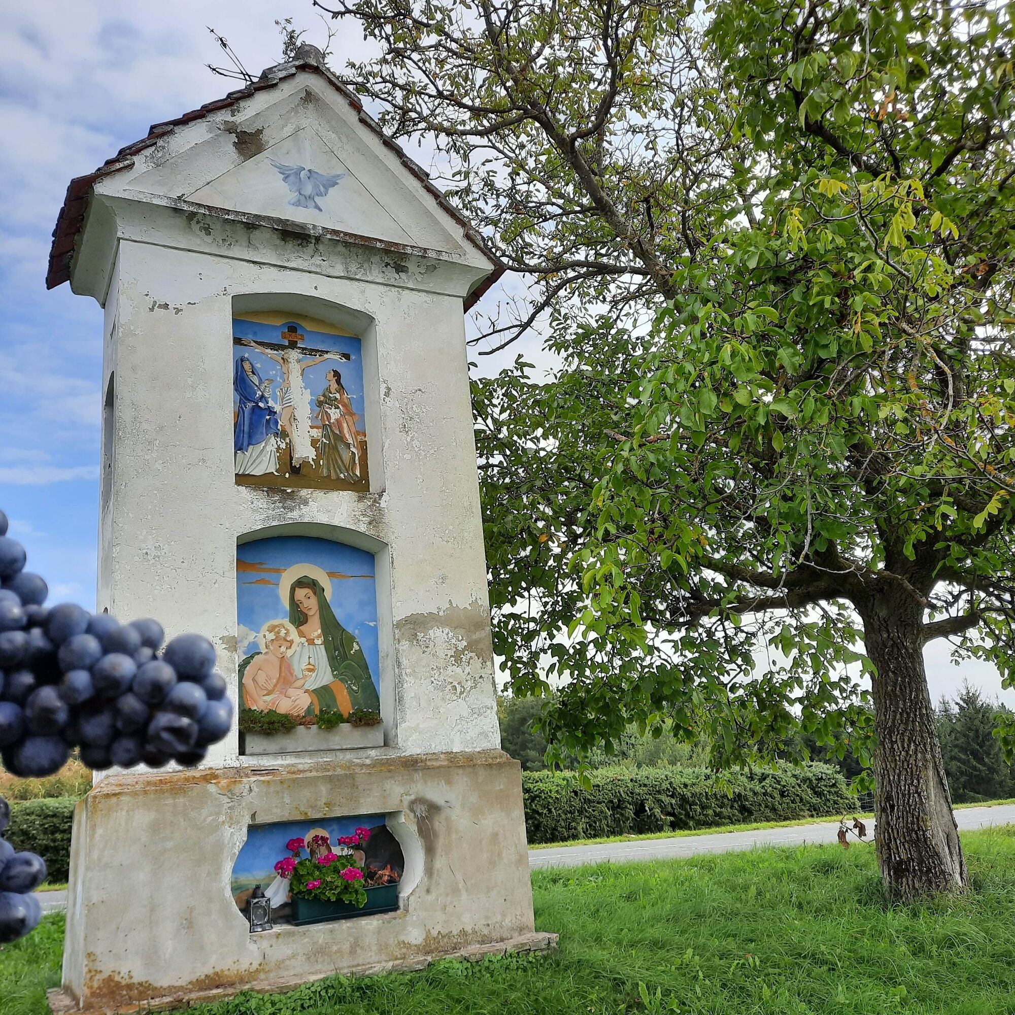
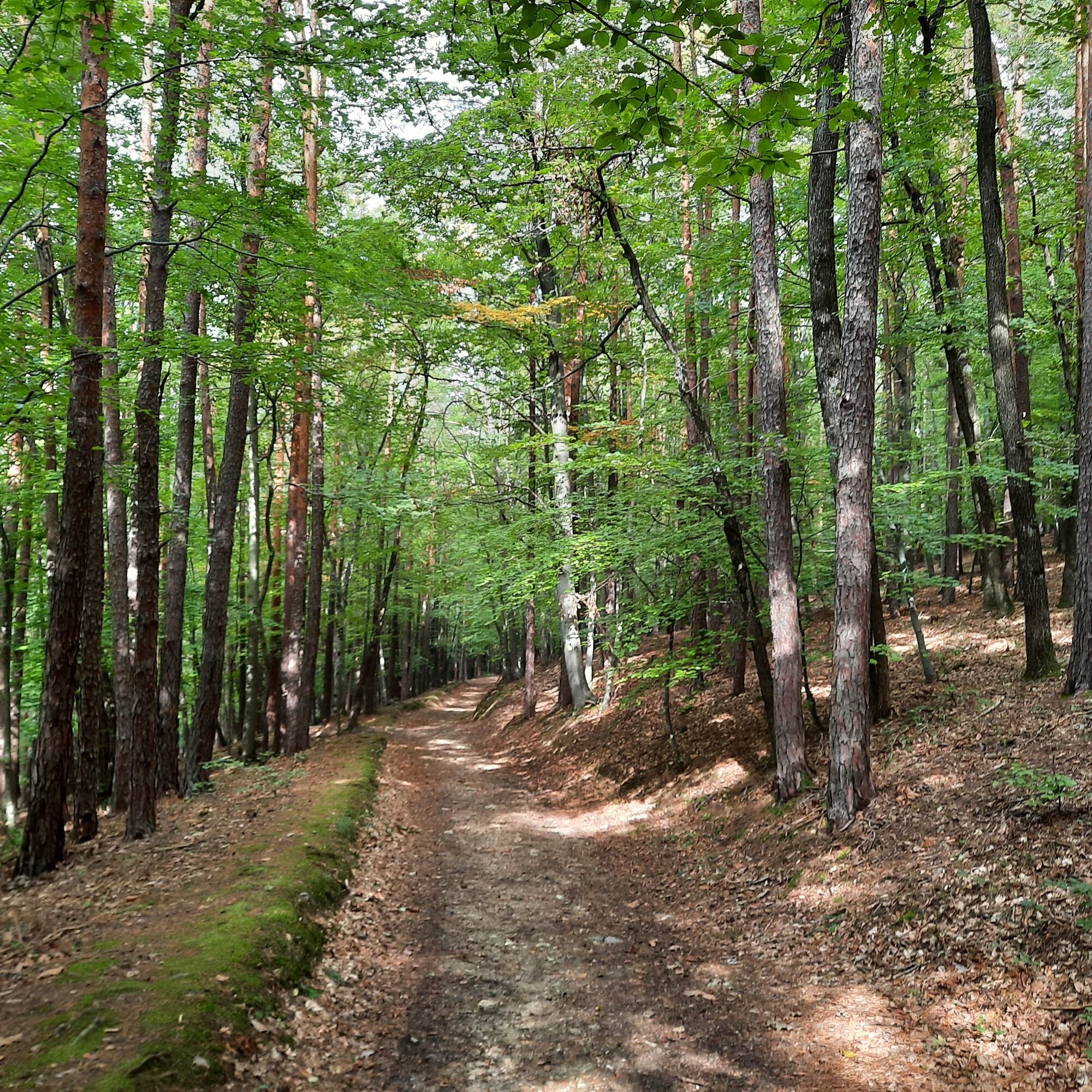
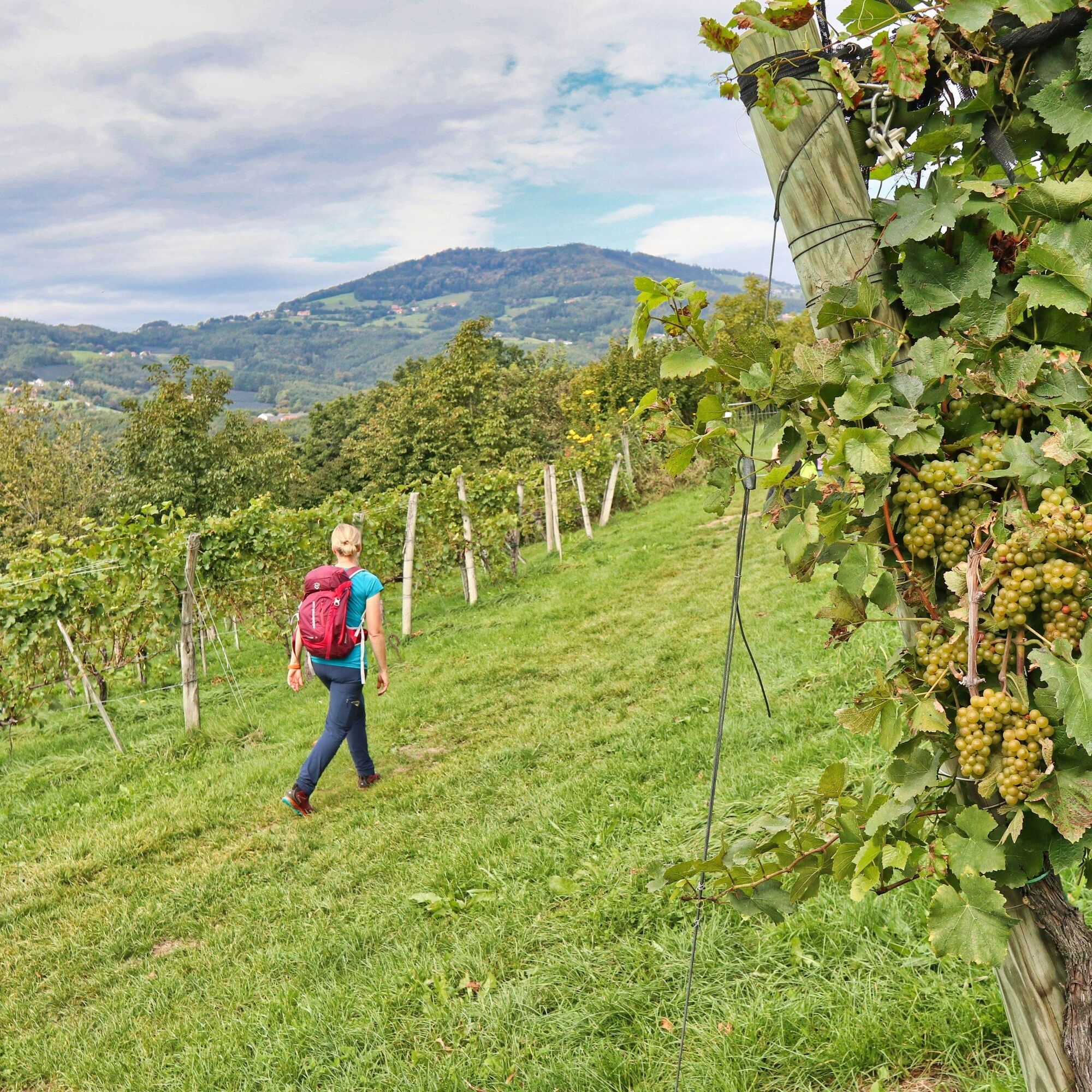
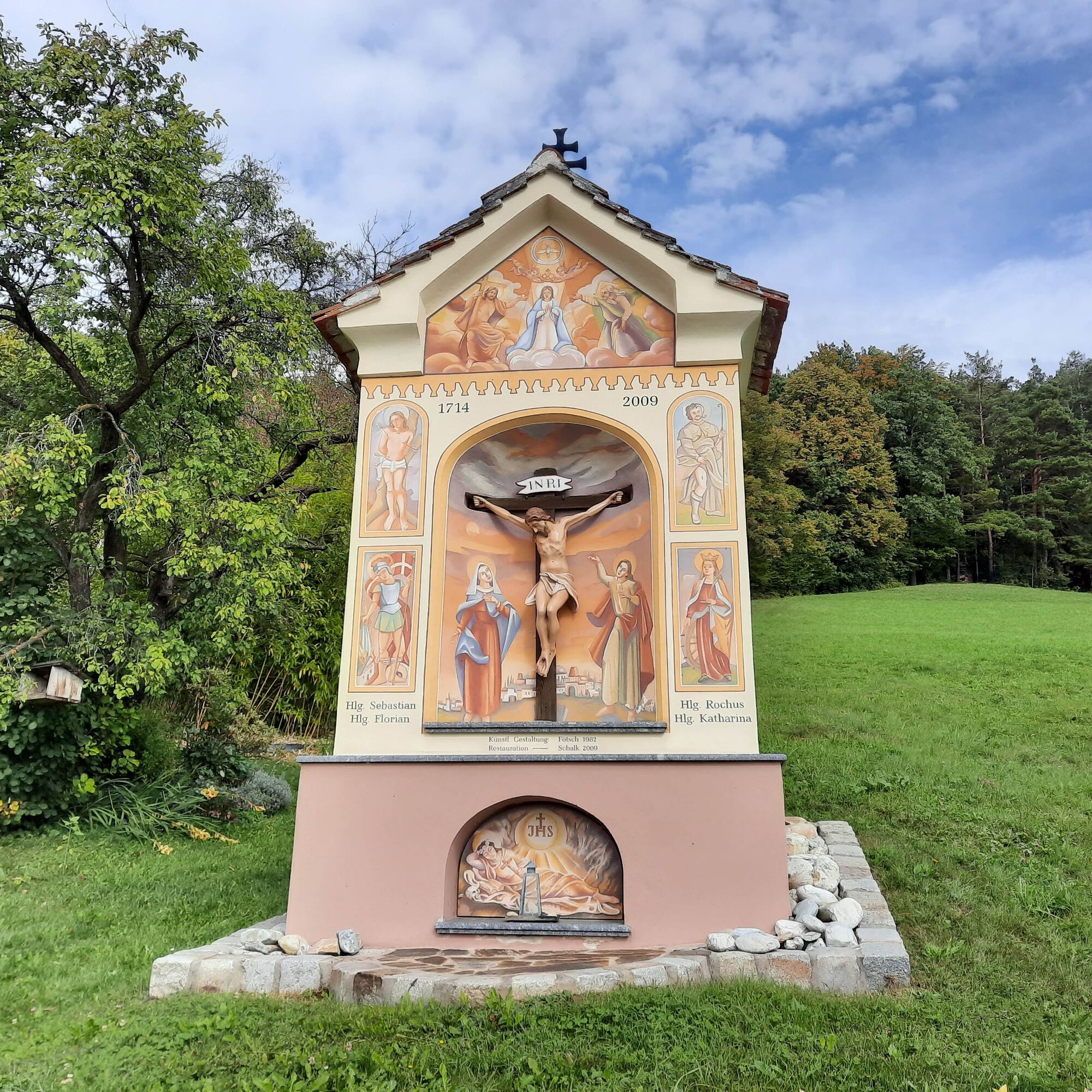
© Oststeiermark Tourismus - (c) WEGES

© Oststeiermark Tourismus - (c) WEGES

© Oststeiermark Tourismus - (c) WEGES

© Oststeiermark Tourismus - (c) WEGES

© Oststeiermark Tourismus - (c) WEGES

© Oststeiermark Tourismus - (c) WEGES

© Oststeiermark Tourismus - (c) WEGES

© Oststeiermark Tourismus - Chris Strassegger

© Outdooractive – 3D Videos
- Lyhyt kuvaus
-
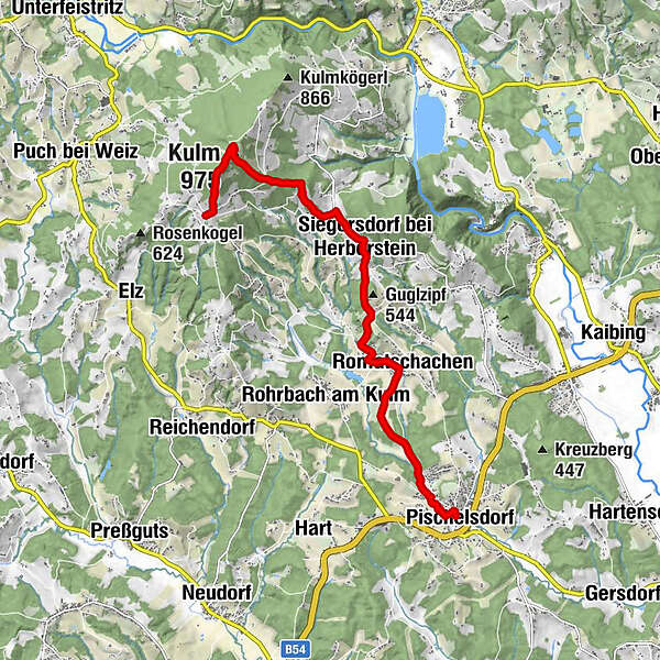
Hiking from Pischelsdorf am Kulm at 975 meters. Also called "Styrian Rigi" because of its panoramic view over eastern Styria to the Pannonian lowlands.
- Vaikeus
-
tapa
- Arviointi
-
- Reitti
-
PischelsdorfPfarrkirche hll. Peter und PaulSportplatzsiedlung1,1 kmRomatschachen3,1 kmSiegersdorf bei Herberstein5,9 kmVII8,7 kmKulm (975 m)8,8 kmVIII8,9 kmIX8,9 kmX9,0 kmMariabrunn9,1 kmI9,1 kmVI9,2 kmII9,2 kmIII9,2 kmV9,3 kmIV9,3 km
- Paras kausi
-
tammihelmimaalishuhtitoukokesäheinäelosyyslokamarrasjoulu
- Korkein kohta
- 964 m
- Kohde
-
Pischelsdorf parish church
- Korkeusprofiili
-


-

-
KirjoittajaKiertue From Pischelsdorf to the Kulm käyttää outdooractive.com toimitettu.
GPS Downloads


Lisää retkiä alueilla
-
Oststeiermark
2125
-
ApfelLand - Stubenbergsee
1141
-
Rohrbach am Kulm
273


