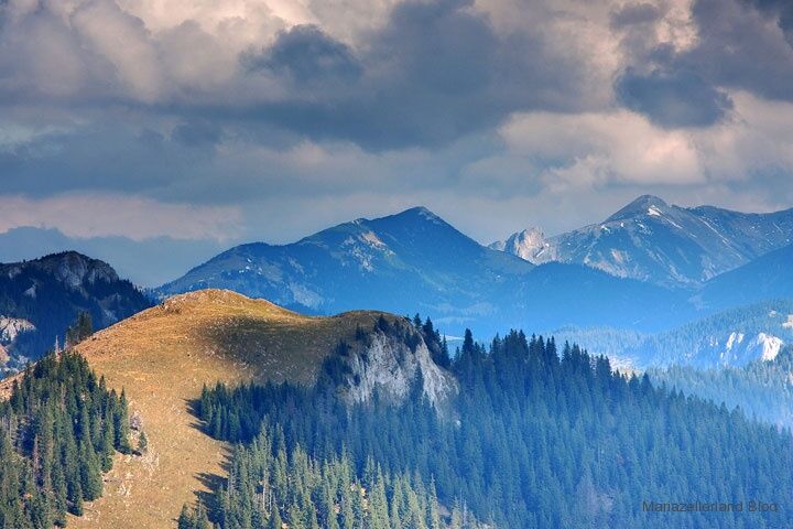
© TV Hochsteiermark - Brigitte Digruber

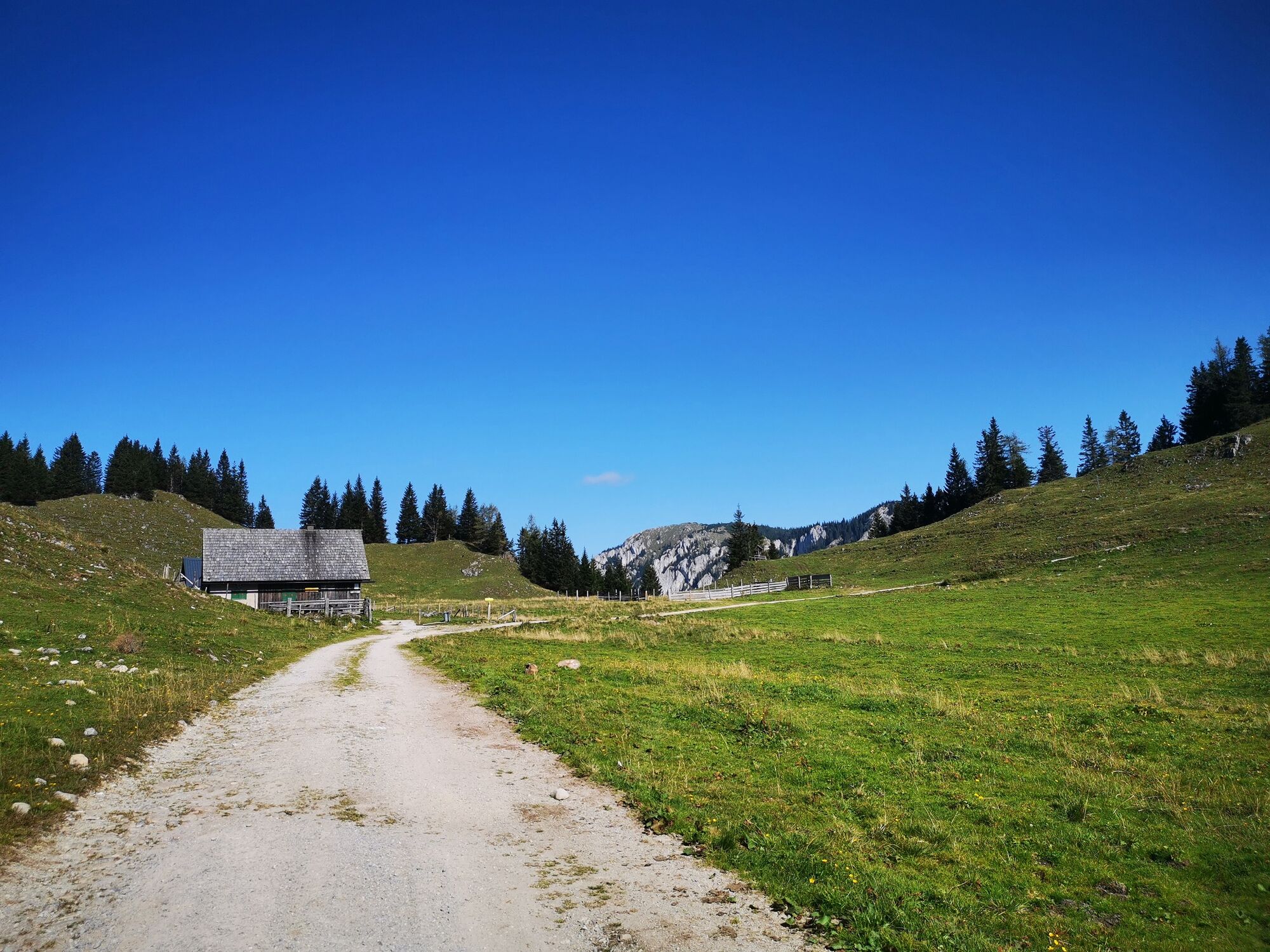
© TV Hochsteiermark - Brigitte Digruber

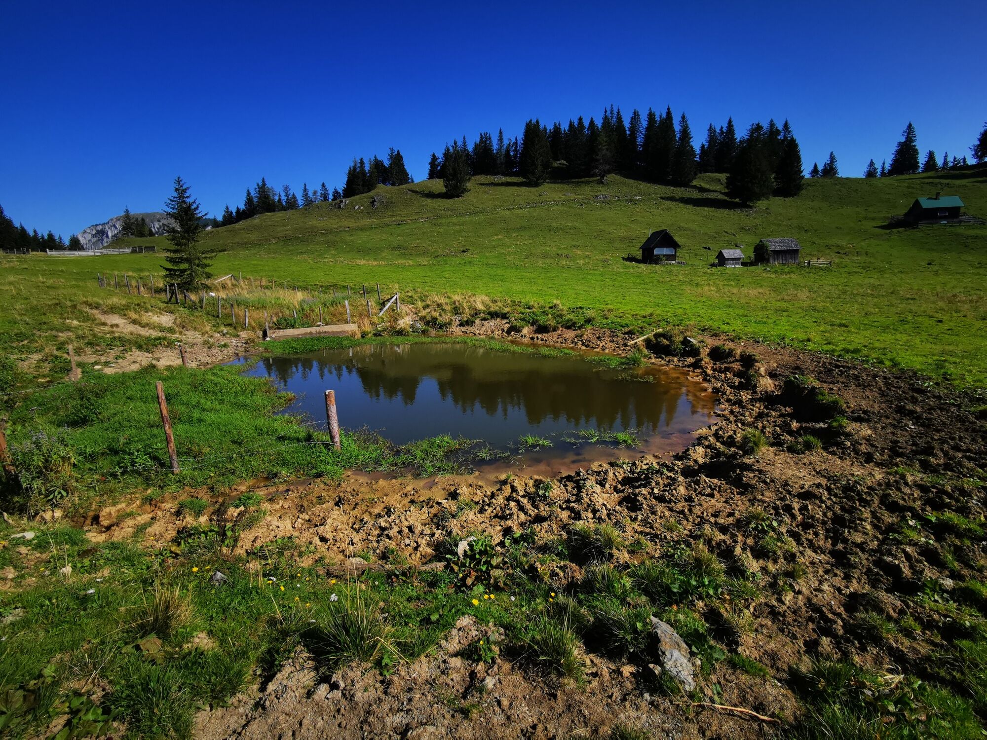
© TV Hochsteiermark - Brigitte Digruber

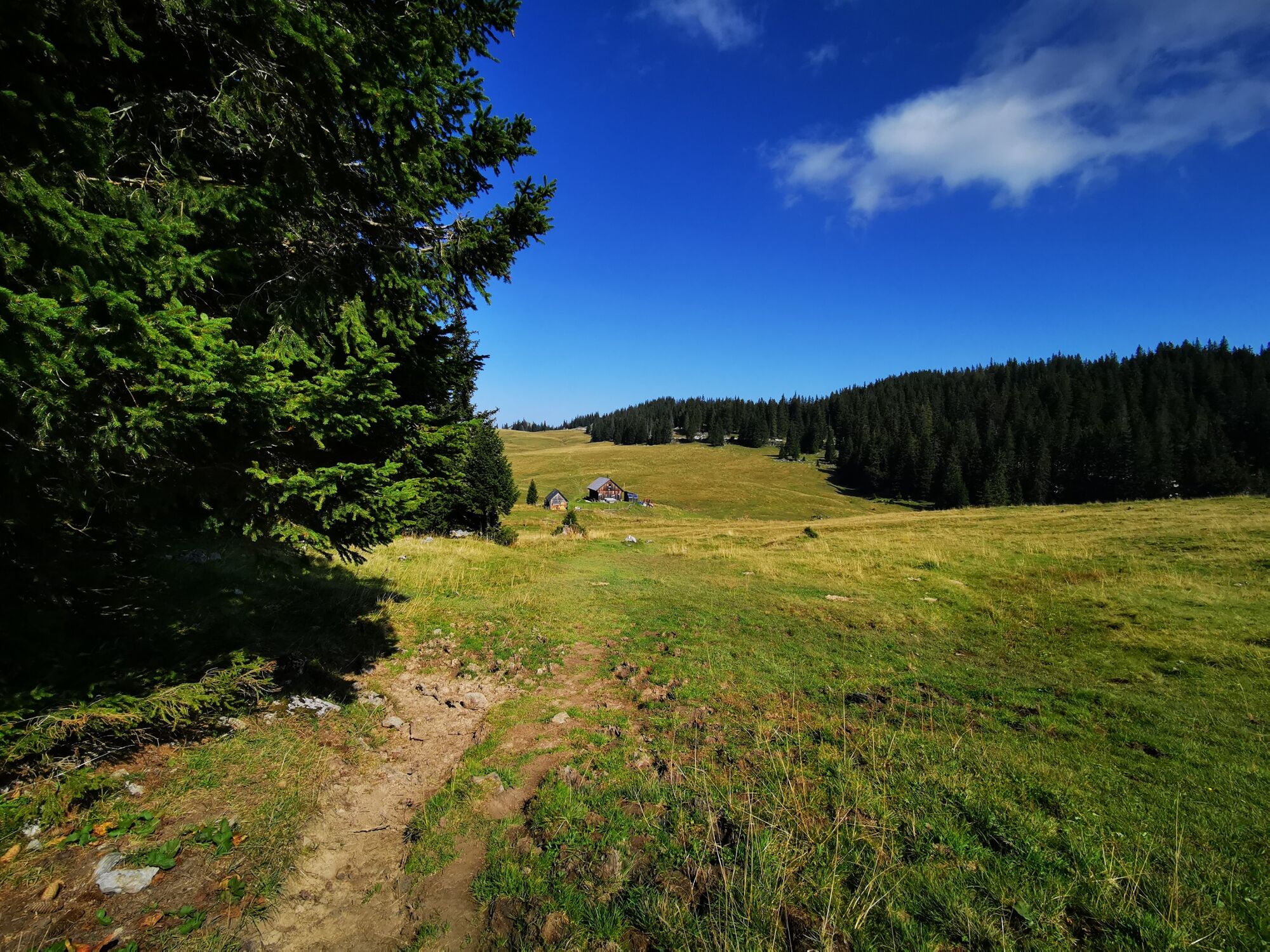
© TV Hochsteiermark - Brigitte Digruber

© TV Hochsteiermark - Fred Lindmoser

© TV Hochsteiermark - Brigitte Digruber

© TV Hochsteiermark - Brigitte Digruber

© TV Hochsteiermark - Brigitte Digruber

- Lyhyt kuvaus
-
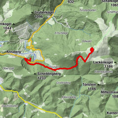
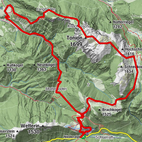
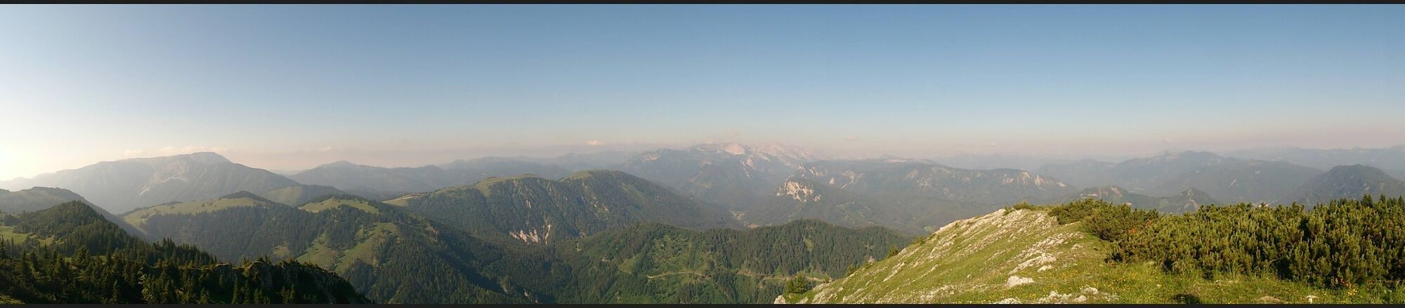
Adventurous hike from Niederalpl to Tonion and via Fallenstein and Lieglergraben back to Niederalpl.
- Vaikeus
-
vaikea
- Arviointi
-
- Reitti
-
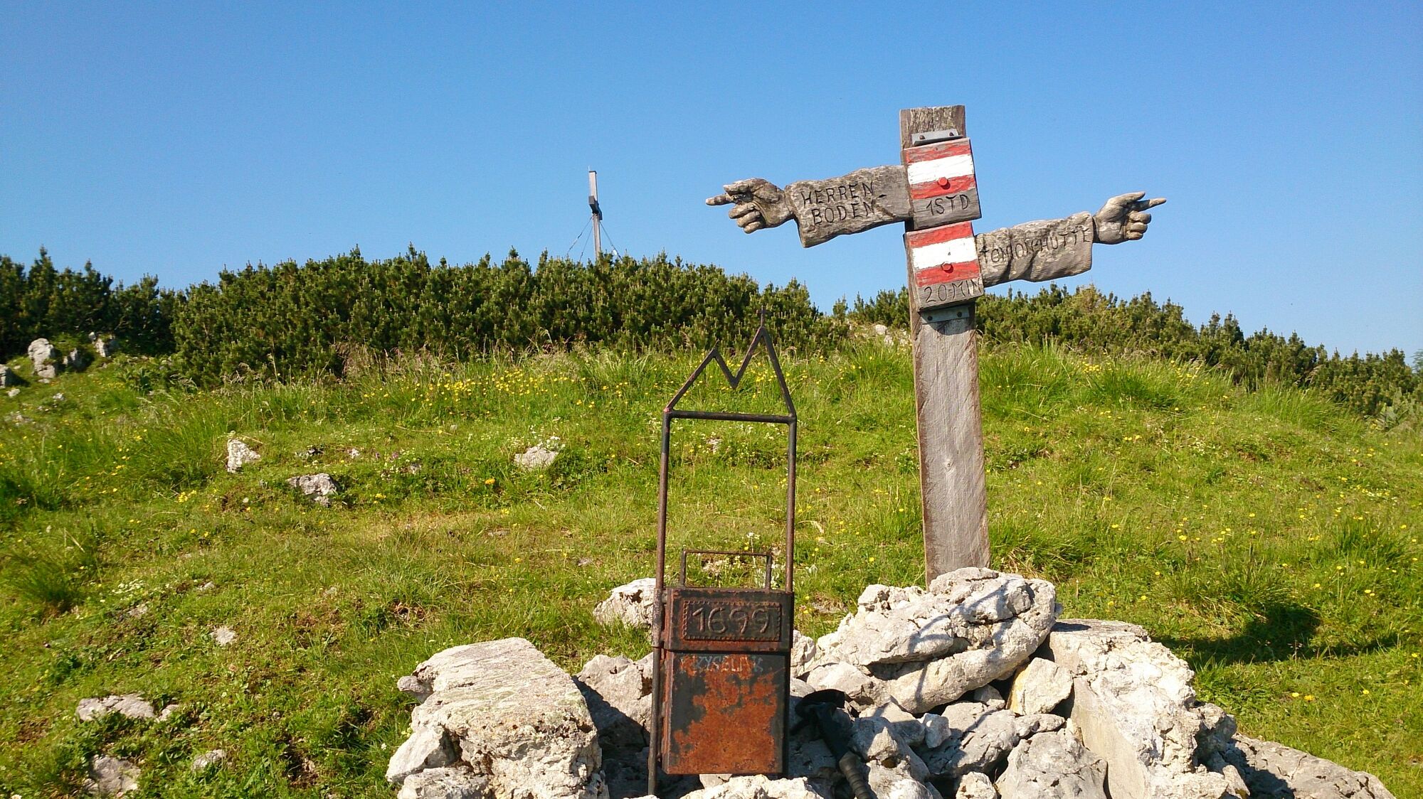
Berggasthof Plodererhof0,1 kmWetterinalm Sennhütte0,7 kmWetterl1,1 kmWeißalm1,9 kmHalterhütte Ochsenboden3,1 kmRitzzeichenschacht4,3 kmHerrenboden (1.402 m)4,4 kmZwölfenderloch4,9 kmZahmer Schacht6,1 kmSchneckenhöhle6,1 kmTonion (1.699 m)7,1 kmKnochenschacht7,6 kmTonionhütte8,3 kmLechnerbauer11,5 kmWetterl17,3 kmWetterinalm Sennhütte18,0 kmRestaurant Boxenstop18,8 kmBerggasthof Plodererhof18,8 km
- Paras kausi
-
tammihelmimaalishuhtitoukokesäheinäelosyyslokamarrasjoulu
- Korkein kohta
- 1.680 m
- Kohde
-
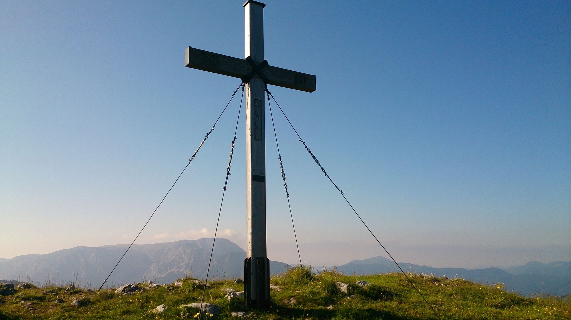
Pass summit Niederalpl
- Korkeusprofiili
-

- Kirjoittaja
-
Kiertue Tonion alpine pasture hike käyttää outdooractive.com toimitettu.
GPS Downloads


Yleistä tietoa
Virvokepysäkki
Lupaava
Lisää retkiä alueilla
-
Hochsteiermark
4080
-
Mariazellerland
1504
-
Halltal
374