© Erlebnisregion Schladming-Dachstein - Schladming Dachstein

© Erlebnisregion Schladming-Dachstein - Schladming Dachstein

© Erlebnisregion Schladming-Dachstein - Schladming Dachstein
- Lyhyt kuvaus
-
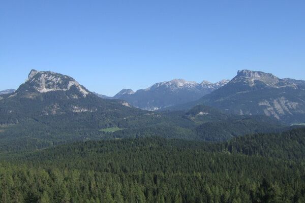
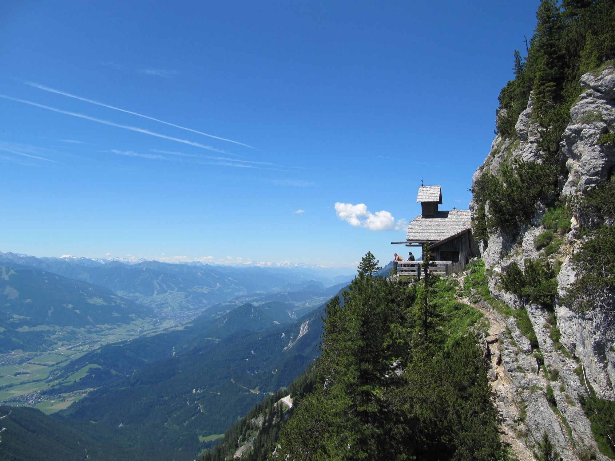
Hike to the Friedenskirchlein in the footsteps of Peter Rosegger and to the summit of the Gröbminger and Aicher local mountains.
- Vaikeus
-
tapa
- Arviointi
-
- Reitti
-
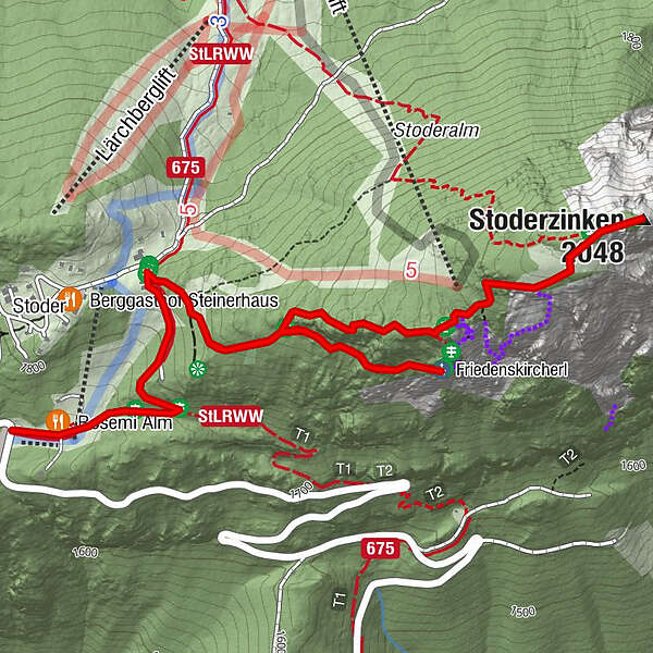
Rosemi Alm0,1 kmFriedenskircherl1,4 kmStoderzinken2,6 kmRosemi Alm4,5 km
- Paras kausi
-
tammihelmimaalishuhtitoukokesäheinäelosyyslokamarrasjoulu
- Korkein kohta
- 2.041 m
- Kohde
-
Stoderzinken
- Korkeusprofiili
-


-

-
KirjoittajaKiertue To the Friedenskircherl chapel and to Stoderzinken käyttää outdooractive.com toimitettu.
GPS Downloads


Yleistä tietoa
Virvokepysäkki
Flora
Fauna
Lupaava
Lisää retkiä alueilla
-
Schladming - Dachstein
3000
-
Haus - Aich
1365
-
Aich
276