- Lyhyt kuvaus
-
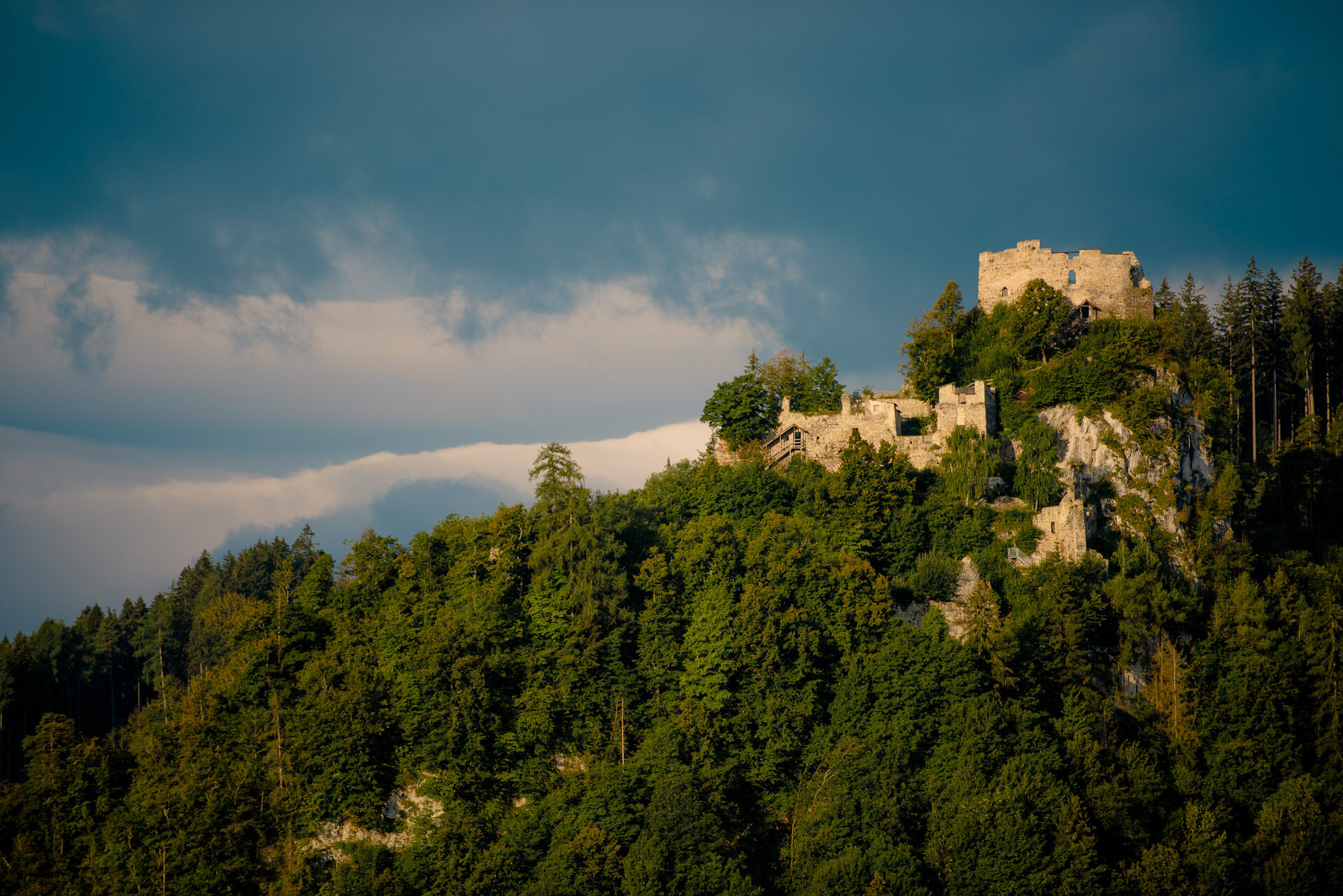
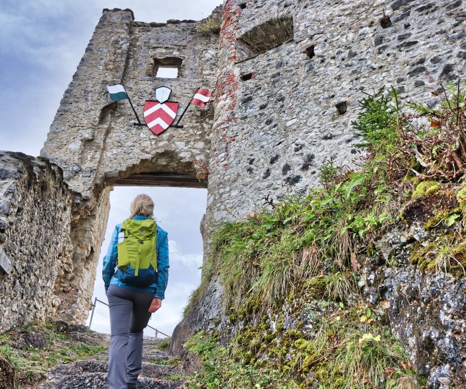
Take your camera with you and photograph the most beautiful view from the ruins over the Murtal region, which lies at your feet.
- Vaikeus
-
helppo
- Arviointi
-
- Reitti
-
Eppenstein1,9 kmVordersieding2,5 kmWeißkirchen in Steiermark6,7 kmPfarrkirche hl. Veit6,8 kmEppenstein10,0 km
- Paras kausi
-
tammihelmimaalishuhtitoukokesäheinäelosyyslokamarrasjoulu
- Korkein kohta
- 870 m
- Kohde
-
Main square, Weißkirchen
- Korkeusprofiili
-


-

-
KirjoittajaKiertue Around the Eppenstein Ruin käyttää outdooractive.com toimitettu.
GPS Downloads


Yleistä tietoa
Sisäpiirin vinkki
Lupaava
Lisää retkiä alueilla