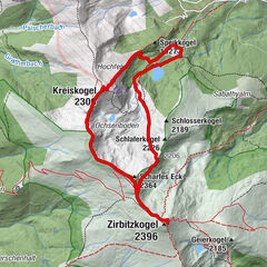
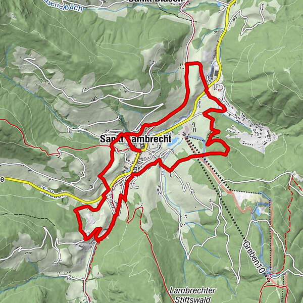
St. Lambrechter Rundwanderweg 29 / 5.000 Übersetzungsergebnisse Übersetzung St. Lambrecht circular hiking trail


© Tourismusverband Region Murau - cstrobl

© Holzwelt Murau - Tom Lamm

© Tourismusverband Region Murau - cstrobl

- Lyhyt kuvaus
-
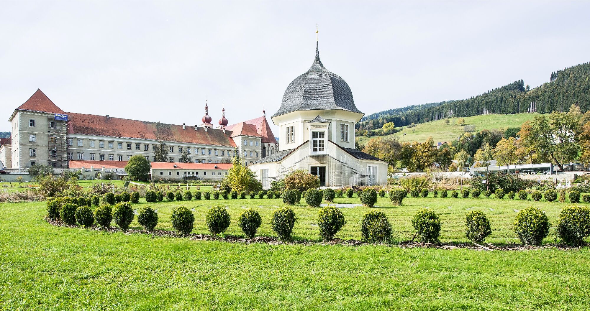
Hike with a few meters of altitude, which reflects the character of the spiritual spa and the diverse landscape around St. Lambrecht from different perspectives.
- Vaikeus
-
helppo
- Arviointi
-
- Reitti
-
StifterlTorwirtMarktcaféSankt Lambrecht0,3 kmHeiligenstadt2,3 kmSeppwirt2,9 kmKupferdachl3,6 kmWeißenbach3,8 kmSankt Lambrecht7,0 kmWieskreuzkapelle8,9 kmVorstadt10,5 kmSankt Lambrecht12,4 kmStifterl12,6 kmTorwirt12,7 kmMarktcafé12,7 km
- Paras kausi
-
tammihelmimaalishuhtitoukokesäheinäelosyyslokamarrasjoulu
- Korkein kohta
- 1.159 m
- Kohde
-
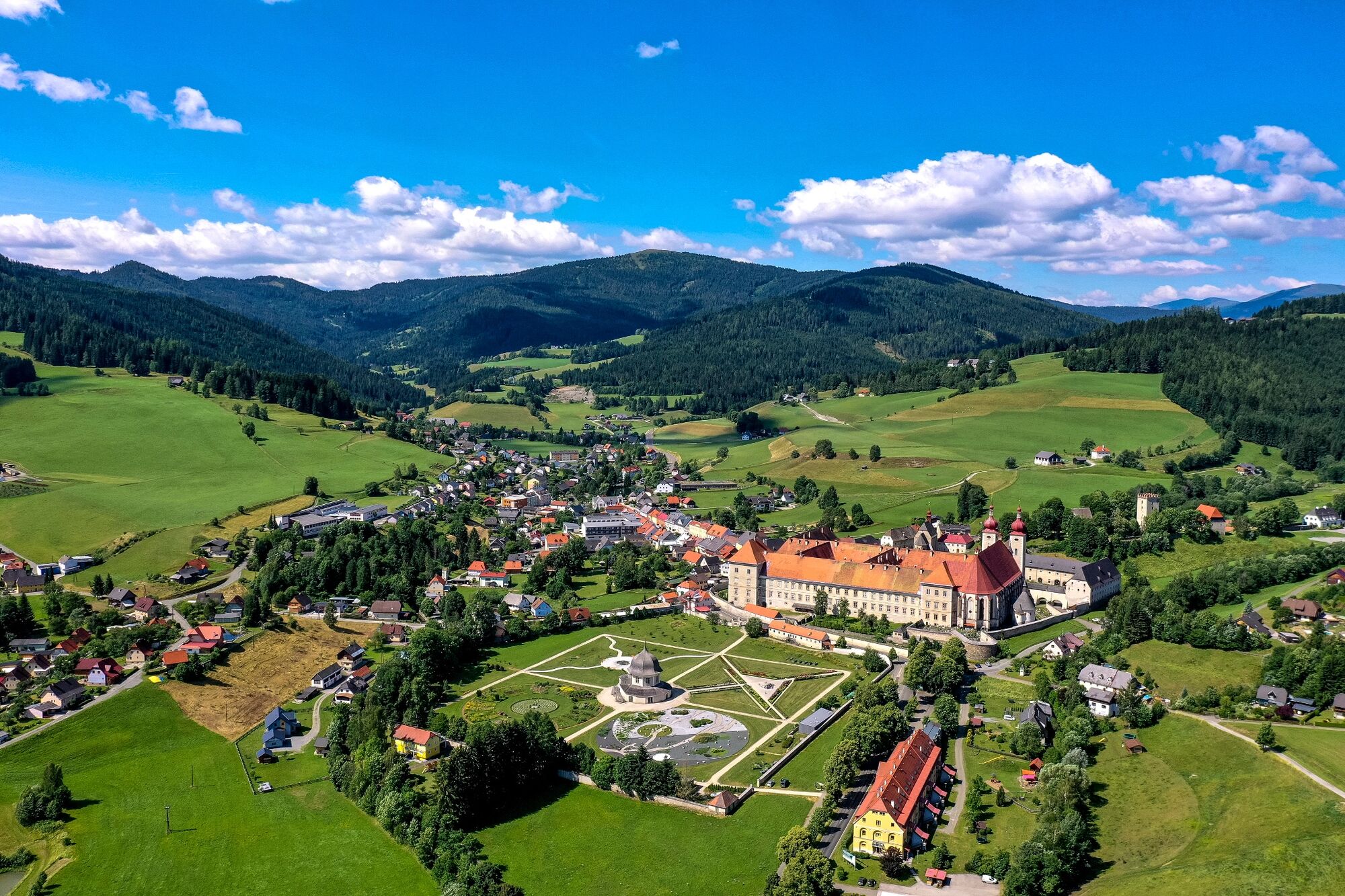
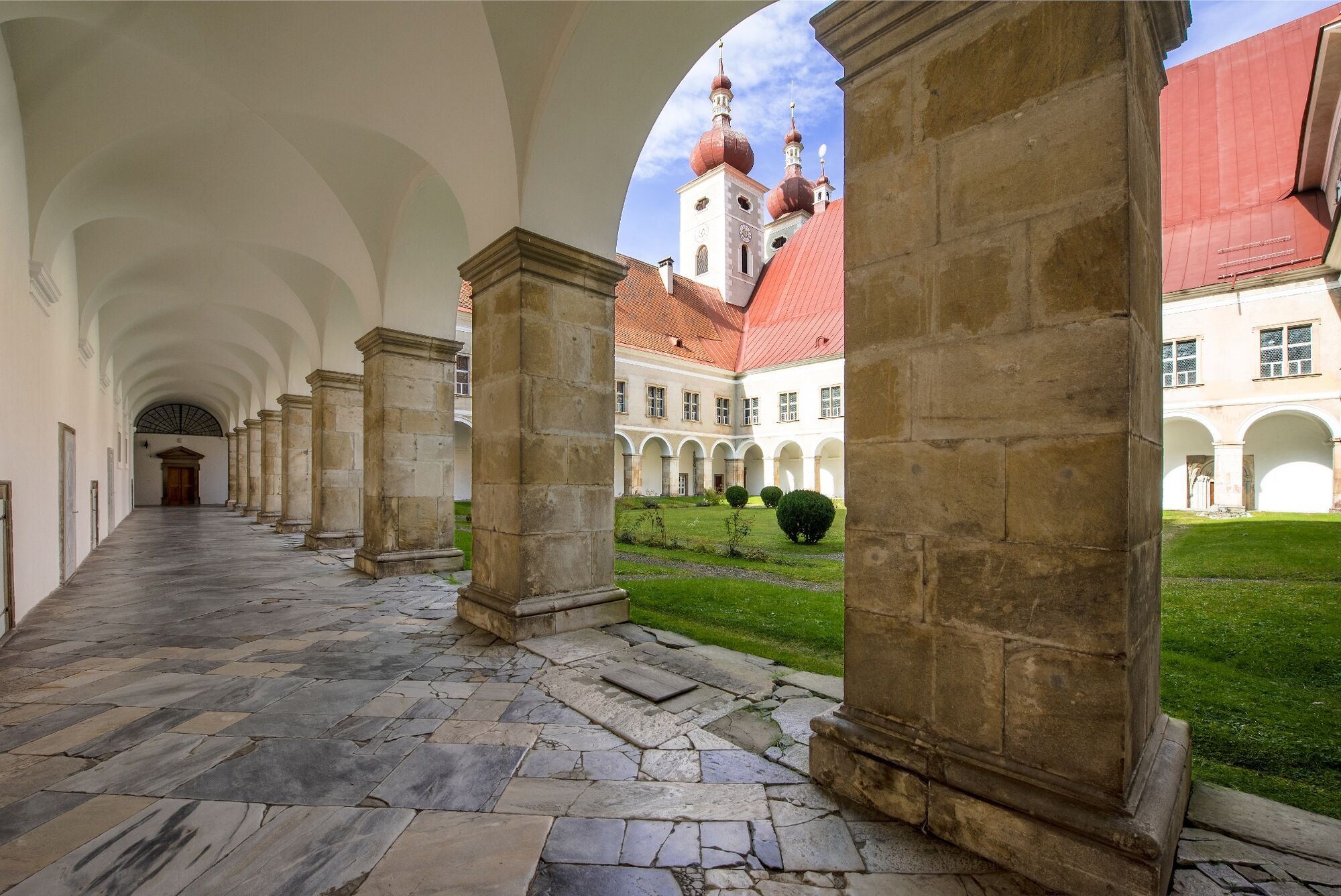
Abbey Gate St. Lambrecht
- Korkeusprofiili
-

- Kirjoittaja
GPS Downloads


Yleistä tietoa
Virvokepysäkki
Lupaava
Lisää retkiä alueilla