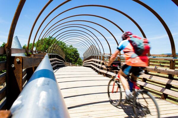
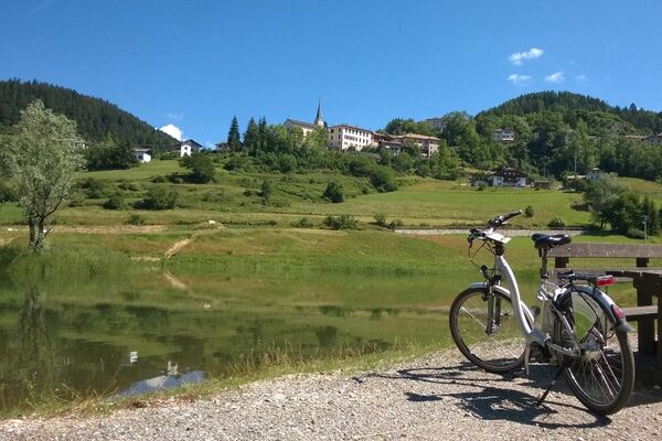
© Marling - IDM Südtirol_Alex Filz
Retkitiedot
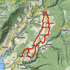
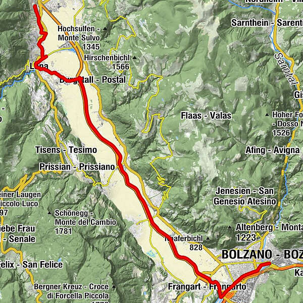
33,41km
242
- 363m
43hm
126hm
02:22h
- Vaikeus
-
helppo
- Arviointi
-
- Reitti
-
MarlingMeranTscherms2,9 kmPfarrkirche St. Sebastian und Nikolaus3,1 kmLana6,0 kmKapuzinerkirche6,1 kmKreuzkirche6,5 kmRestaurant Römerkeller8,5 kmLana-Burgstall9,9 kmGargazon13,7 kmVilpian16,1 kmTerlan20,4 kmSigmundskron26,7 kmSigmundskron26,9 kmBozen (262 m)33,1 km
- Paras kausi
-
tammihelmimaalishuhtitoukokesäheinäelosyyslokamarrasjoulu
- Korkein kohta
- 363 m
- Korkeusprofiili
-
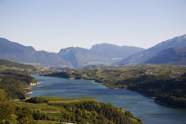
 © outdooractive.com

- Kirjoittaja
-
MarlingKiertue From Marlengo to Bolzano on the Etschradroute Cycle Track käyttää outdooractive.com toimitettu.
GPS Downloads


Lisää retkiä alueilla
-
Meraner Land
35
-
Meran und Umgebung
12
-
Nals
3