Ski Tour: Hochkreuzspitze in S. Maddalena/Gsieser Tal Valley

© © Georg Hofer 2013 - Georg Hofer
Retkitiedot
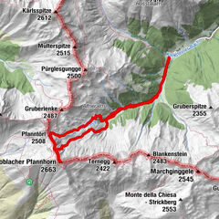
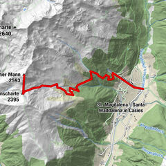
7,54km
1.462
- 2.732m
1.241hm
1.241hm
04:30h

- Lyhyt kuvaus
-
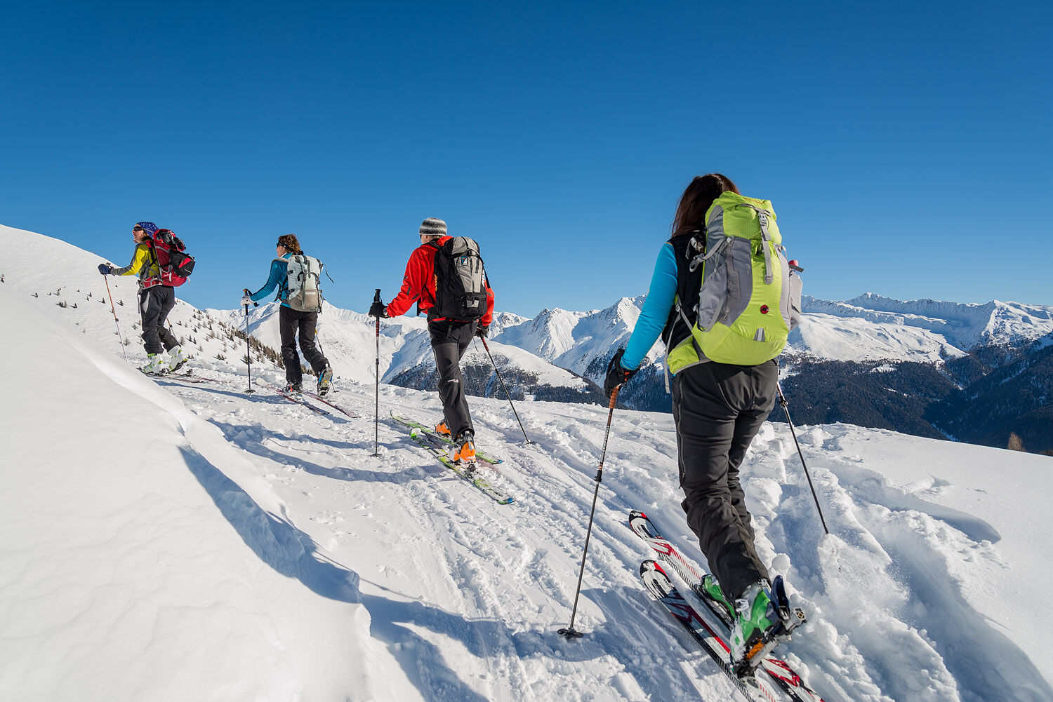
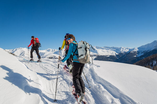
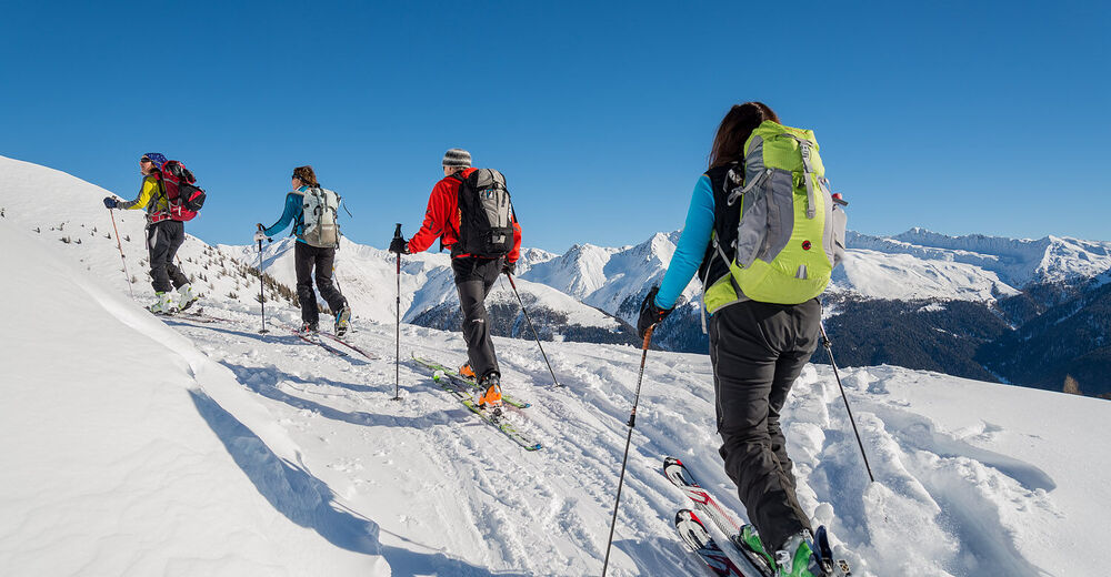
The classic Gsieser ski and snowshoe hike through the Pfoital and to the Hochkreuzspitze
Starting point: Head of the valley in St. Magdalena in the Gsieser Valley 1465 m
Hiking time: 4 ½ hours
Level of difficulty: moderate – difficult; for average skiers, the route offers a wide and open terrain with only a few steep slopes that only require extra caution following fresh snow
Altitude difference: 1274 m
Slope exposure: southwest - Vaikeus
-
tapa
- Arviointi
-
- Reitti
-
Talschlusshütte0,1 kmBinter Höfe0,3 kmUwald Alm (2.030 m)3,6 kmUwaldalm3,6 kmSpielbühel (2.272 m)4,7 kmPfoischarte (2.608 m)6,9 kmMittlerhochkreuz (2.718 m)7,2 kmHochkreuzspitze (2.739 m)7,5 km
- Paras kausi
-
elosyyslokamarrasjoulutammihelmimaalishuhtitoukokesäheinä
- Korkein kohta
- 2.732 m
- Exposition