
- Lyhyt kuvaus
-
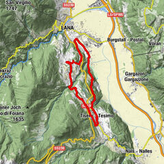
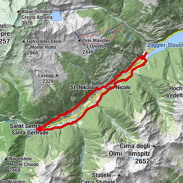
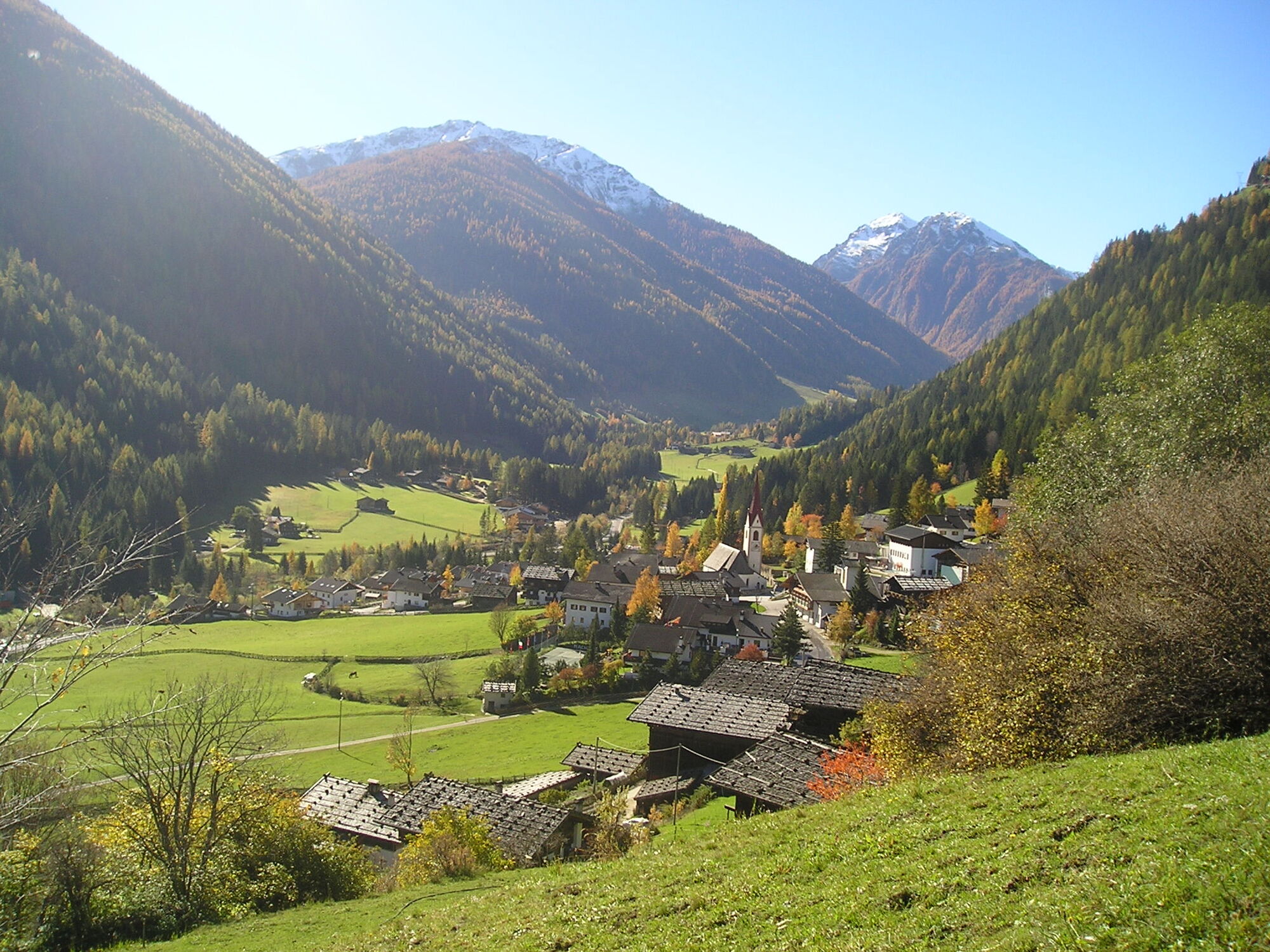
This easy but long way shows you the tipical architecture of halos in Ulten. Visiting all three villages of the valley you see natural treasures and the simple farmer life.
- Reitti
-
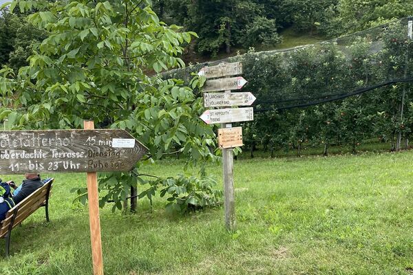
KuppelwiesSchwemmalmbahn0,4 kmSt. Nikolaus3,7 kmSt. Gertraud8,5 kmHofschänke zu den drei Urlächen9,8 kmLärchengarten9,9 kmSt. Nikolaus13,6 kmKuppelwies17,9 km
- Korkein kohta
- 1.463 m
- Korkeusprofiili
-
 © outdooractive.com

- Kirjoittaja
-
Kiertue Ultner Höfeweg käyttää outdooractive.com toimitettu.
GPS Downloads


Lisää retkiä alueilla
-
Vinschgau
1291
-
Ultental - Deutschnonsberg
638
-
St. Nikolaus
113