© Wanderhotels - Hotel Magdalenahof

- Lyhyt kuvaus
-
Good ways and medium long - absolutely lovely landscape with wonderful huts
- Reitti
-
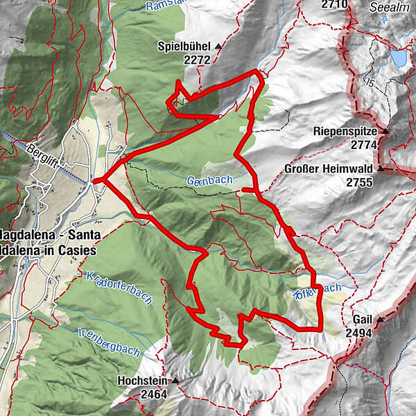
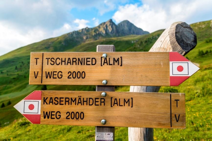
Binter Höfe0,2 kmTschernied Alm (1.976 m)4,0 kmKammschulter (2.030 m)4,6 kmKipfel-Alm7,3 kmKaseralm9,2 kmUwaldalm11,1 kmUwald Alm (2.030 m)11,1 kmBinter Höfe14,3 km
- Korkein kohta
- 2.131 m
- Korkeusprofiili
-
 © outdooractive.com
- Kirjoittaja
-
Kiertue The tour of the alps-meadows in the Val Casies käyttää outdooractive.com toimitettu.