© Tourismusverein Rodeneck - Stefan Gasser

- Lyhyt kuvaus
-
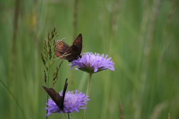
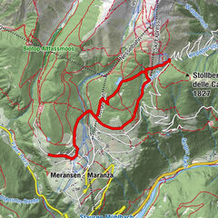
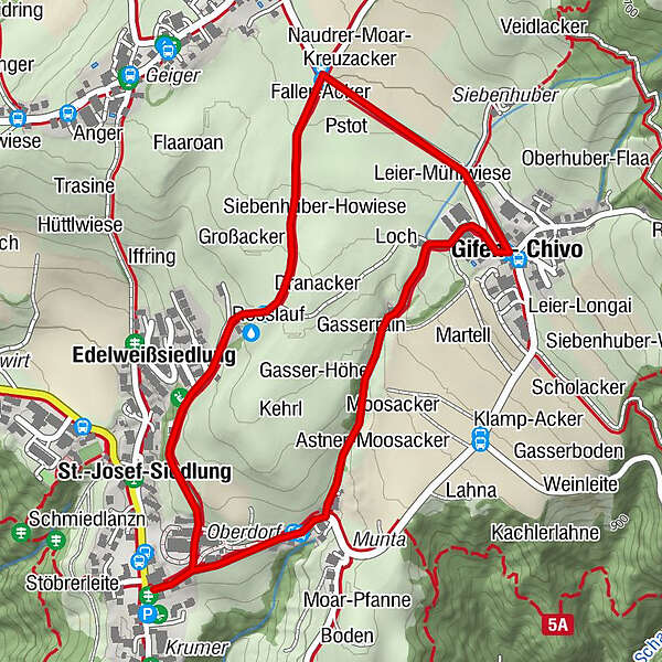
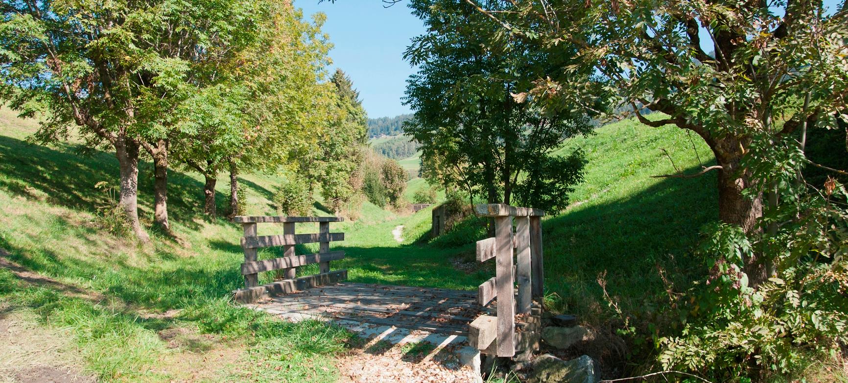
Finther Steig is the old connecting footpath between Villa and Chivo. For children there is lots of water fun at the Gifenbach brook, with watergates and water wheels or the troubleshooting panorama board – the little ones will have fun here splashing in the water.
- Reitti
-
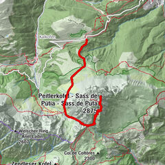
Vill (885 m)PfarrgartenKälberangerle0,1 kmKleiner Anger0,1 kmBaumannmoos0,4 kmGrillwiesele0,5 kmWirtsmühle0,5 kmBachrain0,6 kmMoosacker0,6 kmKaserrain0,6 kmGasser-Sack0,6 kmGasserrain0,6 kmGassermühle0,8 kmKlamp-Wiesele0,8 kmLeier-Pangart0,9 kmGasserbuckel0,9 kmGasser-Hohwiese0,9 kmUnteranger0,9 kmGifen (982 m)1,1 kmGifnacker1,2 kmOberanger1,2 kmHospen-Bachwiese1,2 kmFaller-Acker1,4 kmNaudrer-Moar-Kreuzacker1,5 kmGopprat-Gfode1,5 kmFlötsch1,5 kmNauders (985 m)1,6 kmHauser-Gfode1,8 kmSiebenhuber-Howiese1,9 kmKlamp-Wiese2,0 kmSchneiderwiese2,0 kmRosslauf2,2 kmIffring2,3 kmKaserrain2,4 kmEdelweißsiedlung2,4 kmSt.-Josef-Siedlung2,5 kmRodeneck (882 m)2,5 kmGasplacker2,6 kmKehrenrain2,7 km
- Korkein kohta
- 1.000 m
- Kohde
-
Villa|Vill (885m)
- Korkeusprofiili
-
 © outdooractive.com
- Kirjoittaja
-
Kiertue “Finther Steig” Trail in Rodengo|Rodeneck käyttää outdooractive.com toimitettu.
GPS Downloads


Lisää retkiä alueilla
-
Brixen und Umgebung
1976
-
Gitschberg - Jochtal
672
-
Rodeneck
198