© Südtirol - Alto Adige - Naturapp Südtirol - Alto Adige

- Lyhyt kuvaus
-
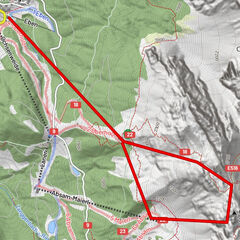
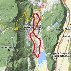
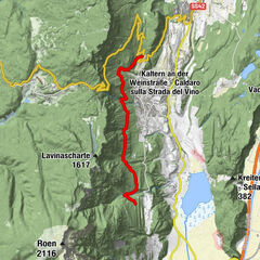
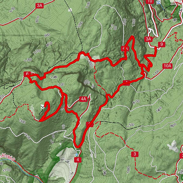
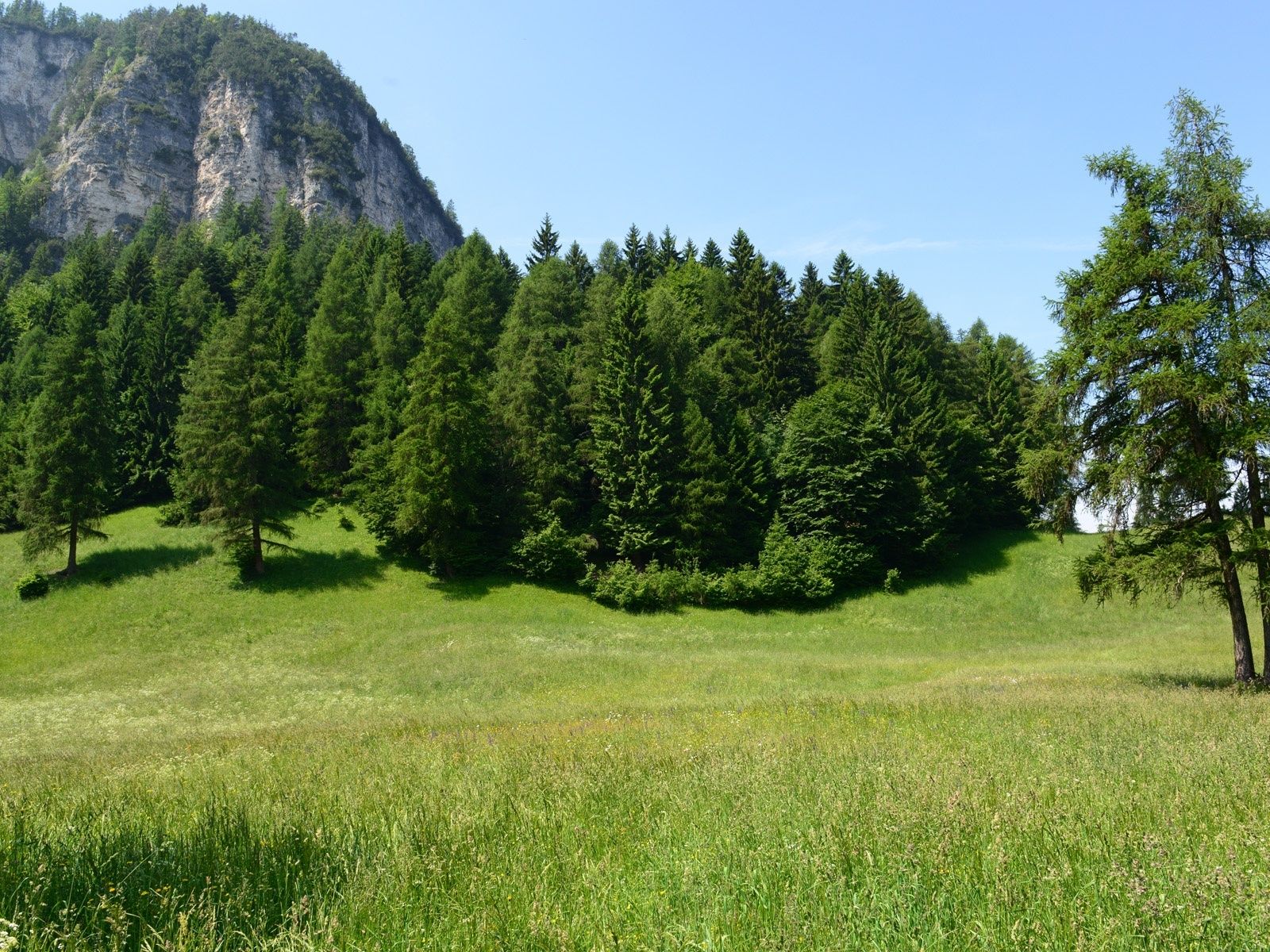
Here in the extreme south you can explore one of the quietest yet most diverse corners of South Tyrol. The land features shady forests and unexpected views. This fairly long tour is suitable for families who love hiking and learning, and is a great way to get to know the flora and fauna of the Trudner Horn Nature Park.
- Vaikeus
-
tapa
- Arviointi
-
- Reitti
-
Gfriller Sattel (1.450 m)7,6 km
- Paras kausi
-
tammihelmimaalishuhtitoukokesäheinäelosyyslokamarrasjoulu
- Korkein kohta
- 1.613 m
- Kohde
-
Starting point
- Korkeusprofiili
-
 © outdooractive.com
- Kirjoittaja
-
Kiertue Königswiese mountain at the Trudner Horn Nature Park käyttää outdooractive.com toimitettu.
GPS Downloads


Yleistä tietoa
Sisäpiirin vinkki
Flora
Fauna
Lisää retkiä alueilla